Map of Pulaski village, Illinois

Map of Pulaski village, Illinois

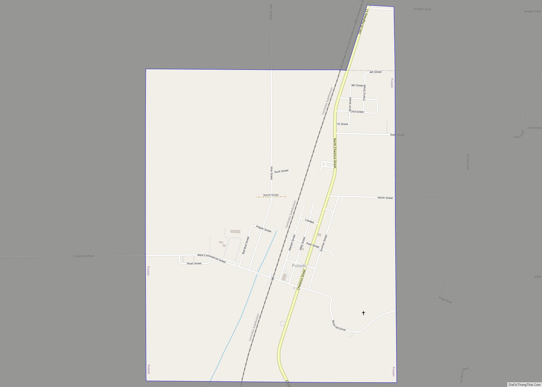
Pulaski is a village in Pulaski County, Illinois, United States. The population was 235 at the 2010 census. The village is named in honor of Polish Revolutionary War hero Casimir Pulaski. Pulaski village overview: Name: Pulaski village LSAD Code: 47 LSAD Description: village (suffix) State: Illinois County: Pulaski County Elevation: 335 ft (102 m) Total Area: 1.32 sq mi … Read more

Map of Raleigh village, Illinois

Map of Raleigh village, Illinois

Raleigh is a village in Saline County, Illinois, United States. The population was 330 at the 2000 census. Raleigh village overview: Name: Raleigh village LSAD Code: 47 LSAD Description: village (suffix) State: Illinois County: Saline County Total Area: 1.98 sq mi (5.12 km²) Land Area: 1.98 sq mi (5.12 km²) Water Area: 0.00 sq mi (0.01 km²) Total Population: 284 Population Density: 143.72/sq mi (55.49/km²) … Read more

Map of Radom village

Map of Radom village

Radom is a village in Washington County, Illinois, United States. The population was 220 at the 2010 census. Radom village overview: Name: Radom village LSAD Code: 47 LSAD Description: village (suffix) State: Illinois County: Washington County Elevation: 532 ft (162 m) Total Area: 1.05 sq mi (2.72 km²) Land Area: 1.05 sq mi (2.72 km²) Water Area: 0.00 sq mi (0.00 km²) Total Population: 183 Population … Read more

Map of Rankin village

Map of Rankin village, Illinois

Rankin is a village in Butler Township, Vermilion County, Illinois, United States. It is part of the Danville, Illinois Metropolitan Statistical Area. The population was 561 at the 2010 census. Rankin village overview: Name: Rankin village LSAD Code: 47 LSAD Description: village (suffix) State: Illinois County: Vermilion County Elevation: 719 ft (219 m) Total Area: 0.58 sq mi (1.50 km²) … Read more

Map of Ramsey village

Map of Ramsey village, Illinois

Ramsey is a village in Fayette County, Illinois, United States. The population was 1,063 in 2018. Between 2017 and 2018 the population of Ramsey, IL declined from 1,225 to 1,063, a -13.2% decrease. The village was named after Alexander Ramsey (1815–1903), an American politician, second governor of Minnesota. Ramsey village overview: Name: Ramsey village LSAD … Read more

Map of Rantoul village

Map of Rantoul village, Illinois

Rantoul is a village in Champaign County, Illinois, United States. The population was 12,371 at the 2020 census. Rantoul village overview: Name: Rantoul village LSAD Code: 47 LSAD Description: village (suffix) State: Illinois County: Champaign County Founded: March 4, 1854 Elevation: 745 ft (227 m) Total Area: 8.59 sq mi (22.26 km²) Land Area: 8.49 sq mi (21.99 km²) Water Area: 0.10 sq mi (0.27 km²) … Read more

Map of Ransom village

Map of Ransom village, Illinois

Ransom is a village in LaSalle County, Illinois, United States. The population was 308 at the 2020 census, down from 384 at the 2010 census. It is part of the Ottawa Micropolitan Statistical Area. It is part of the subregion known as Streatorland. Ransom village overview: Name: Ransom village LSAD Code: 47 LSAD Description: village … Read more

Map of Raritan village

Map of Raritan village, Illinois

Raritan is a village in Henderson County, Illinois, United States. The population was 138 at the 2010 census. It is part of the Burlington, IA–IL Micropolitan Statistical Area. Raritan village overview: Name: Raritan village LSAD Code: 47 LSAD Description: village (suffix) State: Illinois County: Henderson County Elevation: 761 ft (232 m) Total Area: 0.10 sq mi (0.25 km²) Land Area: … Read more

Map of Rapids City village

Map of Rapids City village

Rapids City is a village in Rock Island County, Illinois, United States. The population was 959 at the 2010 census, up from 953 in 2000. Rapids City village overview: Name: Rapids City village LSAD Code: 47 LSAD Description: village (suffix) State: Illinois County: Rock Island County Total Area: 1.63 sq mi (4.21 km²) Land Area: 1.63 sq mi (4.21 km²) Water … Read more

Map of Red Bud city

Map of Red Bud city

Red Bud is a city in Randolph County, Illinois, in the United States. The population was 3,804 at the 2020 census. It is the home of the Red Bud campus of Southwestern Illinois College. Red Bud city overview: Name: Red Bud city LSAD Code: 25 LSAD Description: city (suffix) State: Illinois County: Randolph County Elevation: … Read more

Map of Raymond village, Illinois

Map of Raymond village, Illinois

Raymond is a village in Montgomery County, Illinois, United States. The population was 949 at the 2020 census. Raymond village overview: Name: Raymond village LSAD Code: 47 LSAD Description: village (suffix) State: Illinois County: Montgomery County Elevation: 646 ft (197 m) Total Area: 1.26 sq mi (3.26 km²) Land Area: 1.26 sq mi (3.26 km²) Water Area: 0.00 sq mi (0.00 km²) Total Population: 949 Population … Read more

Map of Redmon village

Map of Redmon village

Redmon is a village in Buck Township, Edgar County, Illinois, United States. The population was 137 at the 2020 census. Redmon village overview: Name: Redmon village LSAD Code: 47 LSAD Description: village (suffix) State: Illinois County: Edgar County Elevation: 679 ft (207 m) Total Area: 0.14 sq mi (0.37 km²) Land Area: 0.14 sq mi (0.37 km²) Water Area: 0.00 sq mi (0.00 km²) Total Population: … Read more