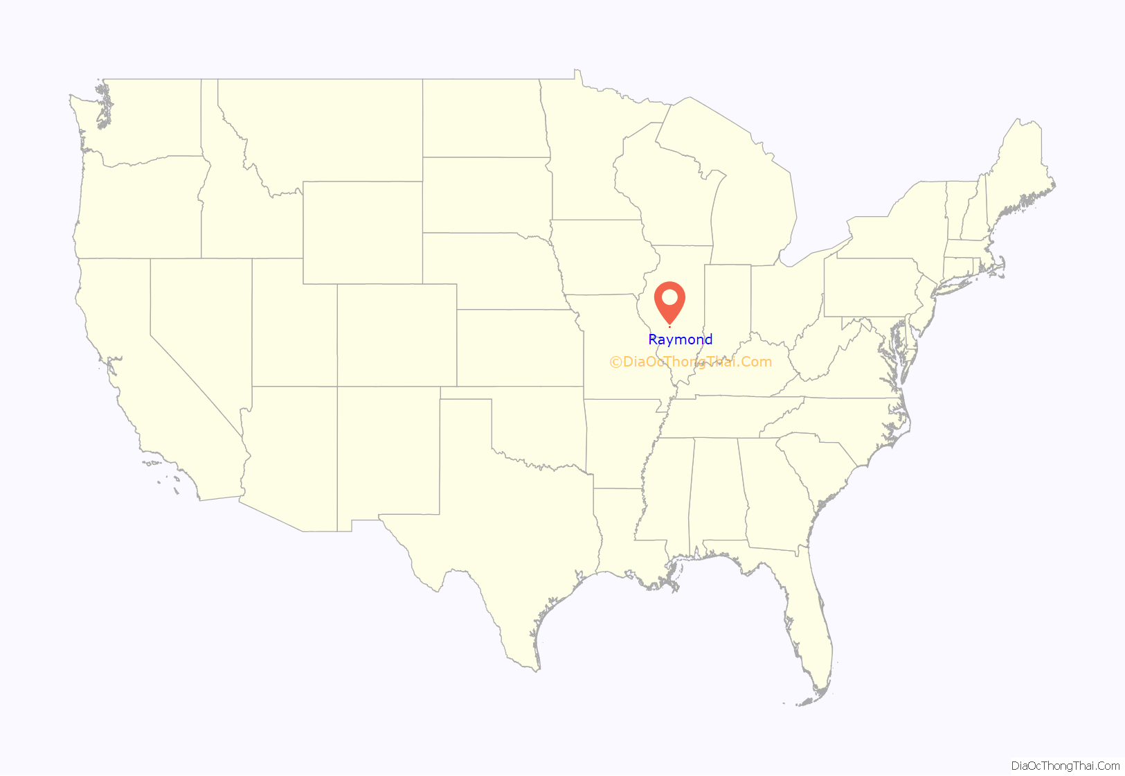
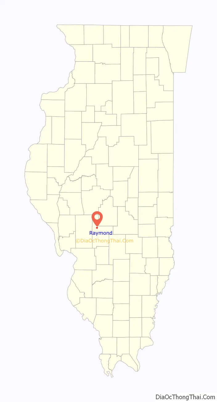
Raymond is a village in Montgomery County, Illinois, United States. The population was 949 at the 2020 census.
| Name: | Raymond village |
|---|---|
| LSAD Code: | 47 |
| LSAD Description: | village (suffix) |
| State: | Illinois |
| County: | Montgomery County |
| Elevation: | 646 ft (197 m) |
| Total Area: | 1.26 sq mi (3.26 km²) |
| Land Area: | 1.26 sq mi (3.26 km²) |
| Water Area: | 0.00 sq mi (0.00 km²) |
| Total Population: | 949 |
| Population Density: | 754.97/sq mi (291.41/km²) |
| ZIP code: | 62560 |
| Area code: | 217 |
| FIPS code: | 1762965 |
| GNISfeature ID: | 2399049 |
Online Interactive Map
Click on ![]() to view map in "full screen" mode.
to view map in "full screen" mode.
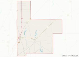
Raymond location map. Where is Raymond village?
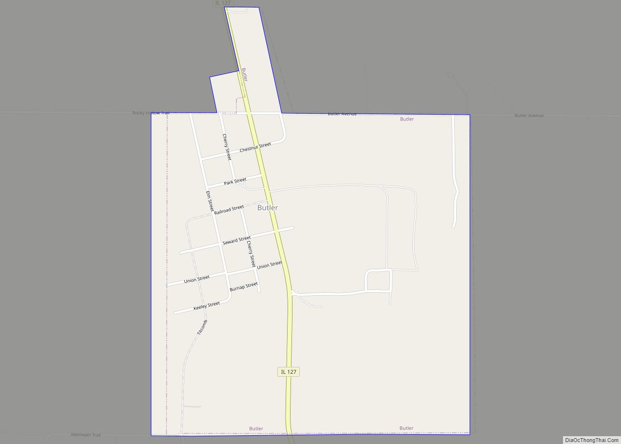
Raymond Road Map
Raymond city Satellite Map

Geography
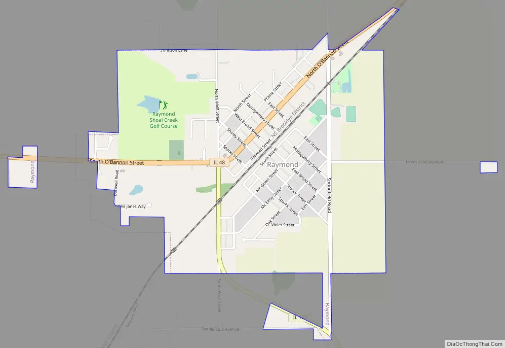
Raymond is located in northwestern Montgomery County at 39°19′15″N 89°34′28″W / 39.32083°N 89.57444°W / 39.32083; -89.57444 (39.320834, -89.574373). Illinois Route 48 passes through the village as O’Bannon Street, leading west 3 miles (5 km) to Interstate 55 at Zanesville and northeast 22 miles (35 km) to Taylorville. Illinois Route 127 passes through the west side of the village, going west with IL 48 to Interstate 55 but leading south 12 miles (19 km) to Hillsboro, the Montgomery county seat.
According to the U.S. Census Bureau, Raymond has a total area of 1.26 square miles (3.26 km), all land. The West Fork of Shoal Creek runs along the western edge of the village, flowing southward to Shoal Creek south of Hillsboro. The village is part of the Kaskaskia River watershed.
See also
Map of Illinois State and its subdivision:- Adams
- Alexander
- Bond
- Boone
- Brown
- Bureau
- Calhoun
- Carroll
- Cass
- Champaign
- Christian
- Clark
- Clay
- Clinton
- Coles
- Cook
- Crawford
- Cumberland
- De Kalb
- De Witt
- Douglas
- Dupage
- Edgar
- Edwards
- Effingham
- Fayette
- Ford
- Franklin
- Fulton
- Gallatin
- Greene
- Grundy
- Hamilton
- Hancock
- Hardin
- Henderson
- Henry
- Iroquois
- Jackson
- Jasper
- Jefferson
- Jersey
- Jo Daviess
- Johnson
- Kane
- Kankakee
- Kendall
- Knox
- La Salle
- Lake
- Lake Michigan
- Lawrence
- Lee
- Livingston
- Logan
- Macon
- Macoupin
- Madison
- Marion
- Marshall
- Mason
- Massac
- McDonough
- McHenry
- McLean
- Menard
- Mercer
- Monroe
- Montgomery
- Morgan
- Moultrie
- Ogle
- Peoria
- Perry
- Piatt
- Pike
- Pope
- Pulaski
- Putnam
- Randolph
- Richland
- Rock Island
- Saint Clair
- Saline
- Sangamon
- Schuyler
- Scott
- Shelby
- Stark
- Stephenson
- Tazewell
- Union
- Vermilion
- Wabash
- Warren
- Washington
- Wayne
- White
- Whiteside
- Will
- Williamson
- Winnebago
- Woodford
- Alabama
- Alaska
- Arizona
- Arkansas
- California
- Colorado
- Connecticut
- Delaware
- District of Columbia
- Florida
- Georgia
- Hawaii
- Idaho
- Illinois
- Indiana
- Iowa
- Kansas
- Kentucky
- Louisiana
- Maine
- Maryland
- Massachusetts
- Michigan
- Minnesota
- Mississippi
- Missouri
- Montana
- Nebraska
- Nevada
- New Hampshire
- New Jersey
- New Mexico
- New York
- North Carolina
- North Dakota
- Ohio
- Oklahoma
- Oregon
- Pennsylvania
- Rhode Island
- South Carolina
- South Dakota
- Tennessee
- Texas
- Utah
- Vermont
- Virginia
- Washington
- West Virginia
- Wisconsin
- Wyoming