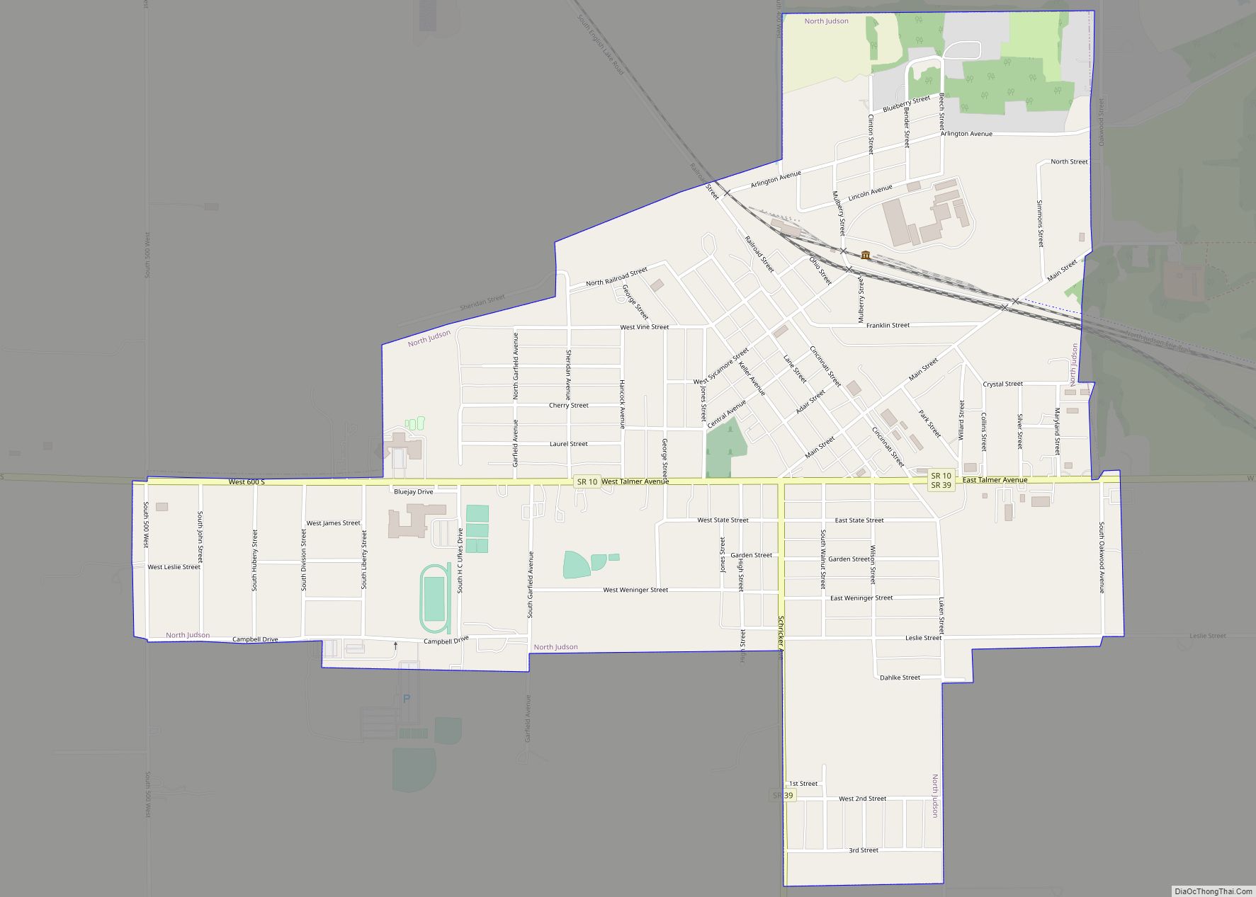
North Judson is a town in Wayne Township, Starke County, in the U.S. state of Indiana. The population was 1,857 as of the 2020 census. North Judson town overview: Name: North Judson town LSAD Code: 43 LSAD Description: town (suffix) State: Indiana County: Starke County Elevation: 712 ft (217 m) Total Area: 1.11 sq mi (2.87 km²) Land Area: 1.11 sq mi ... Read more
Indiana Cities and Places
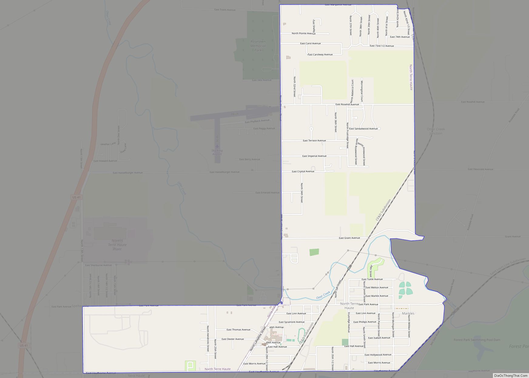
North Terre Haute is a census-designated place (CDP) in Otter Creek Township, Vigo County, in the U.S. state of Indiana. The population was 4,305 at the 2010 census. It is part of the Terre Haute Metropolitan Statistical Area. North Terre Haute CDP overview: Name: North Terre Haute CDP LSAD Code: 57 LSAD Description: CDP (suffix) ... Read more
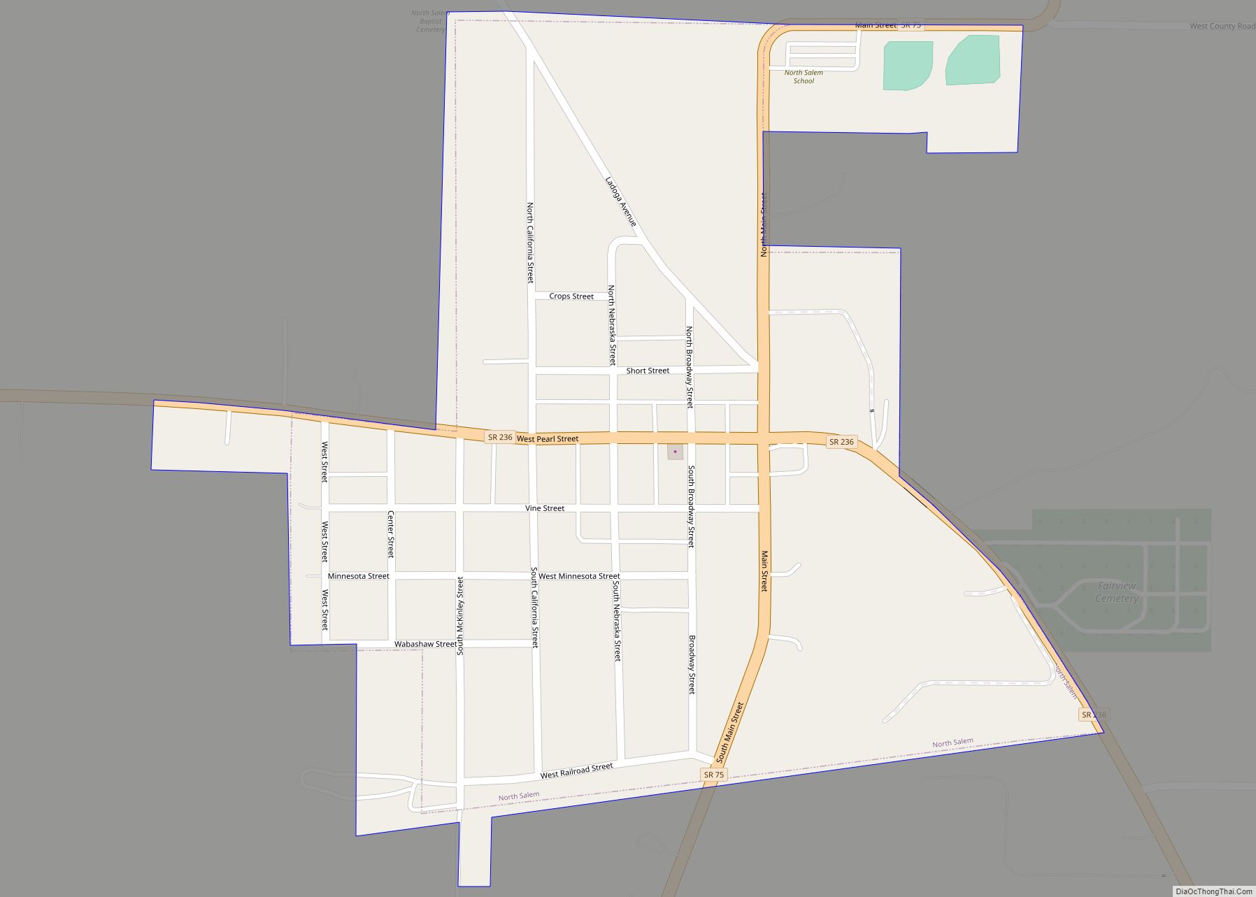
North Salem is a town in Eel River Township, Hendricks County, Indiana, United States. The population was 518 at the 2010 Census. North Salem town overview: Name: North Salem town LSAD Code: 43 LSAD Description: town (suffix) State: Indiana County: Hendricks County Elevation: 892 ft (272 m) Total Area: 0.34 sq mi (0.89 km²) Land Area: 0.34 sq mi (0.89 km²) Water Area: ... Read more
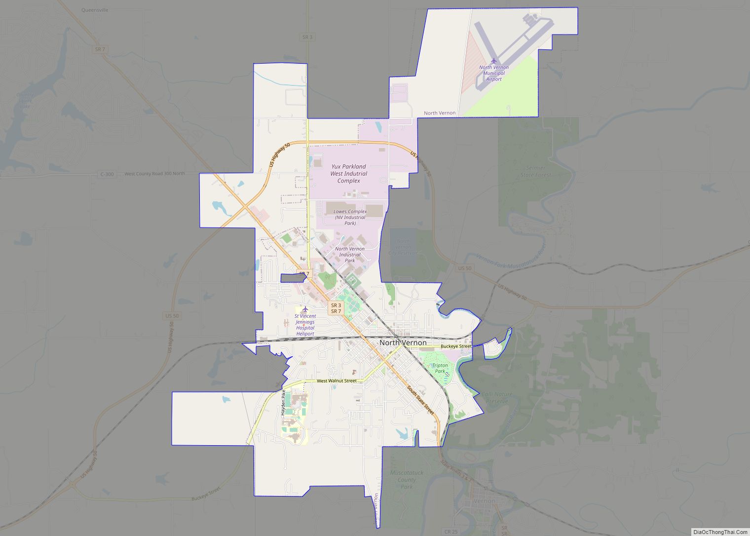
North Vernon is a city in Jennings County, Indiana, United States. The population was 6,608 as of the 2020 census. North Vernon city overview: Name: North Vernon city LSAD Code: 25 LSAD Description: city (suffix) State: Indiana County: Jennings County Elevation: 719 ft (219 m) Total Area: 7.68 sq mi (19.90 km²) Land Area: 7.67 sq mi (19.88 km²) Water Area: 0.01 sq mi (0.03 km²) ... Read more
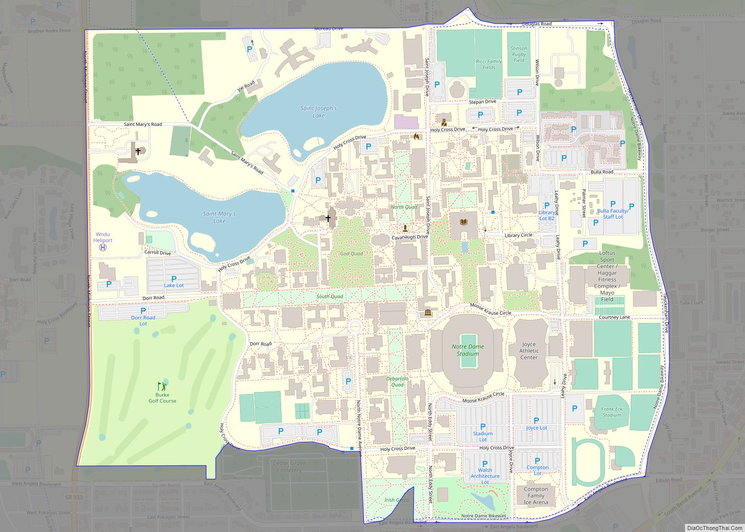
Notre Dame is a census-designated place and unincorporated community north of the city of South Bend in St. Joseph County, in the U.S. state of Indiana. It includes the campuses of three colleges: the University of Notre Dame, Saint Mary’s College, and Holy Cross College. Notre Dame is split between Clay and Portage Townships. As ... Read more
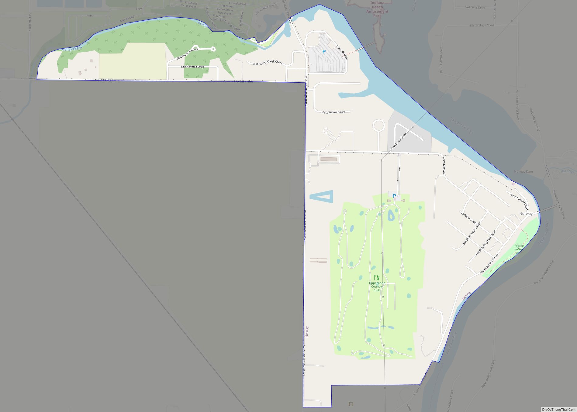
Norway is a census-designated place (CDP) in Union Township, White County, in the U.S. state of Indiana. The population was 386 at the 2010 census. Norway CDP overview: Name: Norway CDP LSAD Code: 57 LSAD Description: CDP (suffix) State: Indiana County: White County Elevation: 633 ft (193 m) Total Area: 0.96 sq mi (2.48 km²) Land Area: 0.89 sq mi (2.31 km²) Water ... Read more
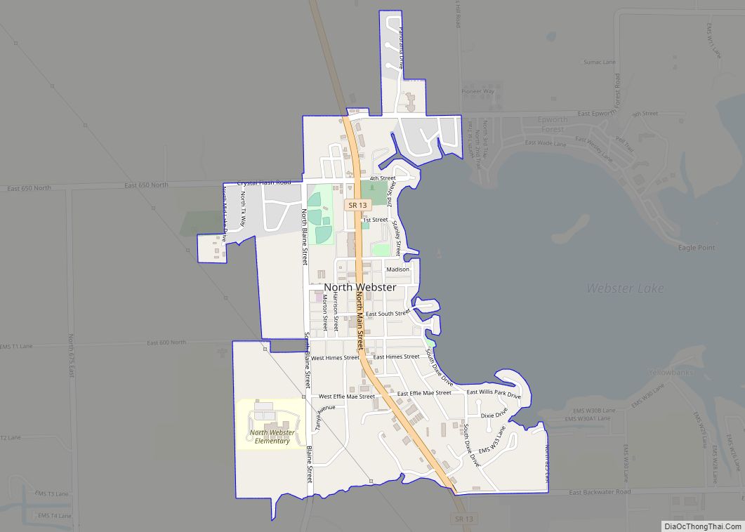
North Webster is a town in Tippecanoe Township, Kosciusko County, in the U.S. state of Indiana. The population was 1,146 at the 2010 census. North Webster town overview: Name: North Webster town LSAD Code: 43 LSAD Description: town (suffix) State: Indiana County: Kosciusko County Elevation: 879 ft (268 m) Total Area: 0.82 sq mi (2.13 km²) Land Area: 0.81 sq mi (2.10 km²) ... Read more
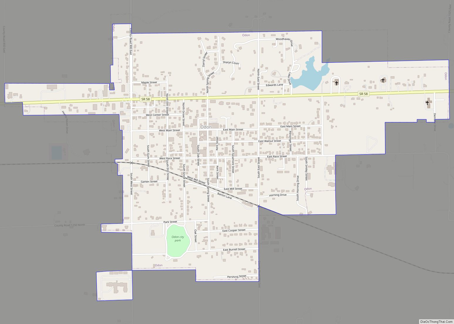
Odon is a town in Madison Township, Daviess County, Indiana, United States. The population was 1,354 at the 2010 census. Odon town overview: Name: Odon town LSAD Code: 43 LSAD Description: town (suffix) State: Indiana County: Daviess County Elevation: 541 ft (165 m) Total Area: 0.94 sq mi (2.43 km²) Land Area: 0.93 sq mi (2.41 km²) Water Area: 0.01 sq mi (0.02 km²) Total Population: ... Read more
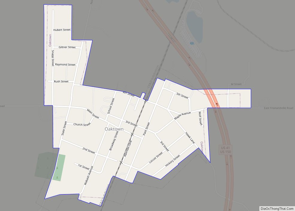
Oaktown is a town in Busseron Township, Knox County, Indiana. The population was 608 at the 2010 census. Oaktown town overview: Name: Oaktown town LSAD Code: 43 LSAD Description: town (suffix) State: Indiana County: Knox County Elevation: 472 ft (144 m) Total Area: 0.27 sq mi (0.70 km²) Land Area: 0.27 sq mi (0.70 km²) Water Area: 0.00 sq mi (0.00 km²) Total Population: 581 Population ... Read more
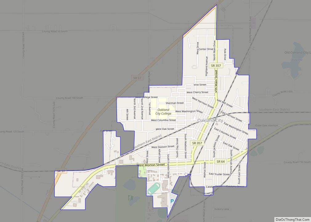
Oakland City is the third-largest city in Gibson County, Indiana, United States, after Princeton and Fort Branch. It is the site of Oakland City University. The population was 2,279 at the 2020 census. Oakland City city overview: Name: Oakland City city LSAD Code: 25 LSAD Description: city (suffix) State: Indiana County: Gibson County Elevation: 472 ft ... Read more
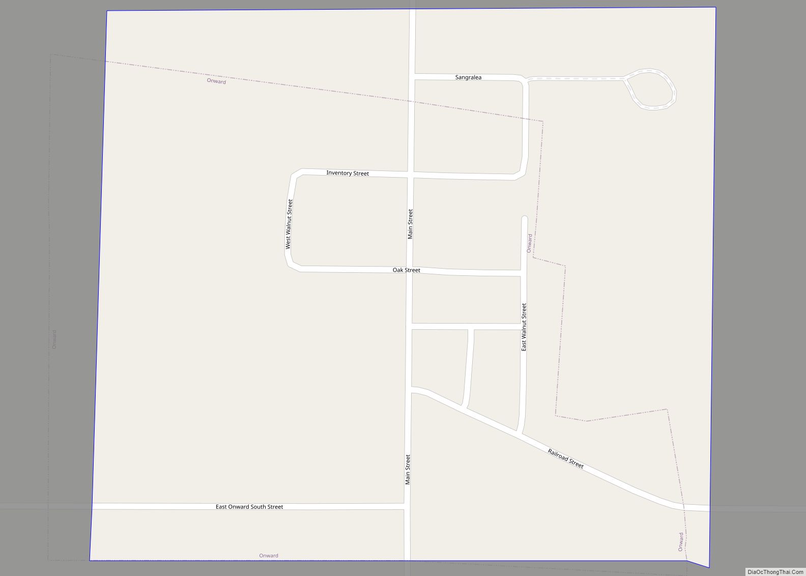
Onward is a town in Tipton Township, Cass County, Indiana, United States. The population was 100 at the 2010 census. Onward town overview: Name: Onward town LSAD Code: 43 LSAD Description: town (suffix) State: Indiana County: Cass County Elevation: 768 ft (234 m) Total Area: 0.10 sq mi (0.27 km²) Land Area: 0.10 sq mi (0.27 km²) Water Area: 0.00 sq mi (0.00 km²) Total Population: ... Read more
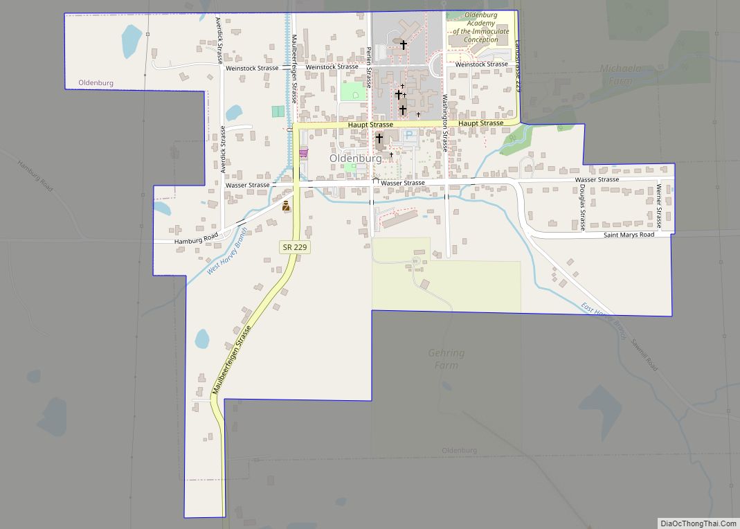
Oldenburg is a town in Ray Township, Franklin County, Indiana, United States. The population was 674 at the 2010 census. Oldenburg town overview: Name: Oldenburg town LSAD Code: 43 LSAD Description: town (suffix) State: Indiana County: Franklin County Elevation: 889 ft (271 m) Total Area: 0.43 sq mi (1.12 km²) Land Area: 0.43 sq mi (1.11 km²) Water Area: 0.00 sq mi (0.01 km²) Total Population: ... Read more
