Norway is a census-designated place (CDP) in Union Township, White County, in the U.S. state of Indiana. The population was 386 at the 2010 census.
| Name: | Norway CDP |
|---|---|
| LSAD Code: | 57 |
| LSAD Description: | CDP (suffix) |
| State: | Indiana |
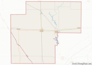
| County: | White County |
| Elevation: | 633 ft (193 m) |
| Total Area: | 0.96 sq mi (2.48 km²) |
| Land Area: | 0.89 sq mi (2.31 km²) |
| Water Area: | 0.06 sq mi (0.17 km²) |
| Total Population: | 327 |
| Population Density: | 365.77/sq mi (141.27/km²) |
| ZIP code: | 47960 |
| FIPS code: | 1855350 |
| GNISfeature ID: | 440358 |
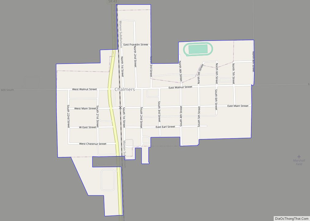
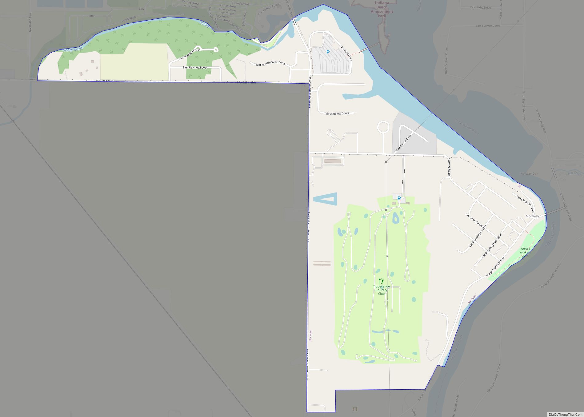
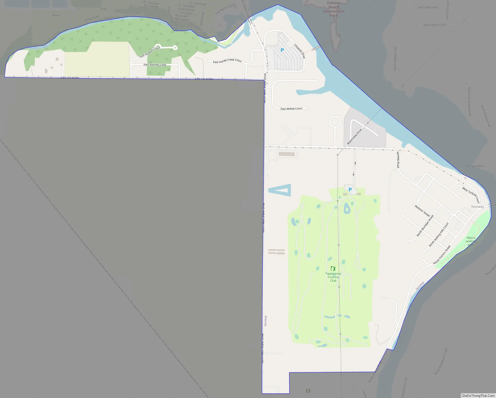
Online Interactive Map
Click on ![]() to view map in "full screen" mode.
to view map in "full screen" mode.
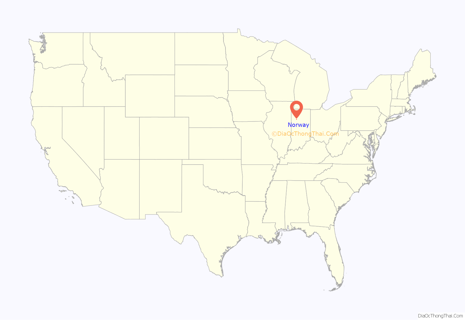
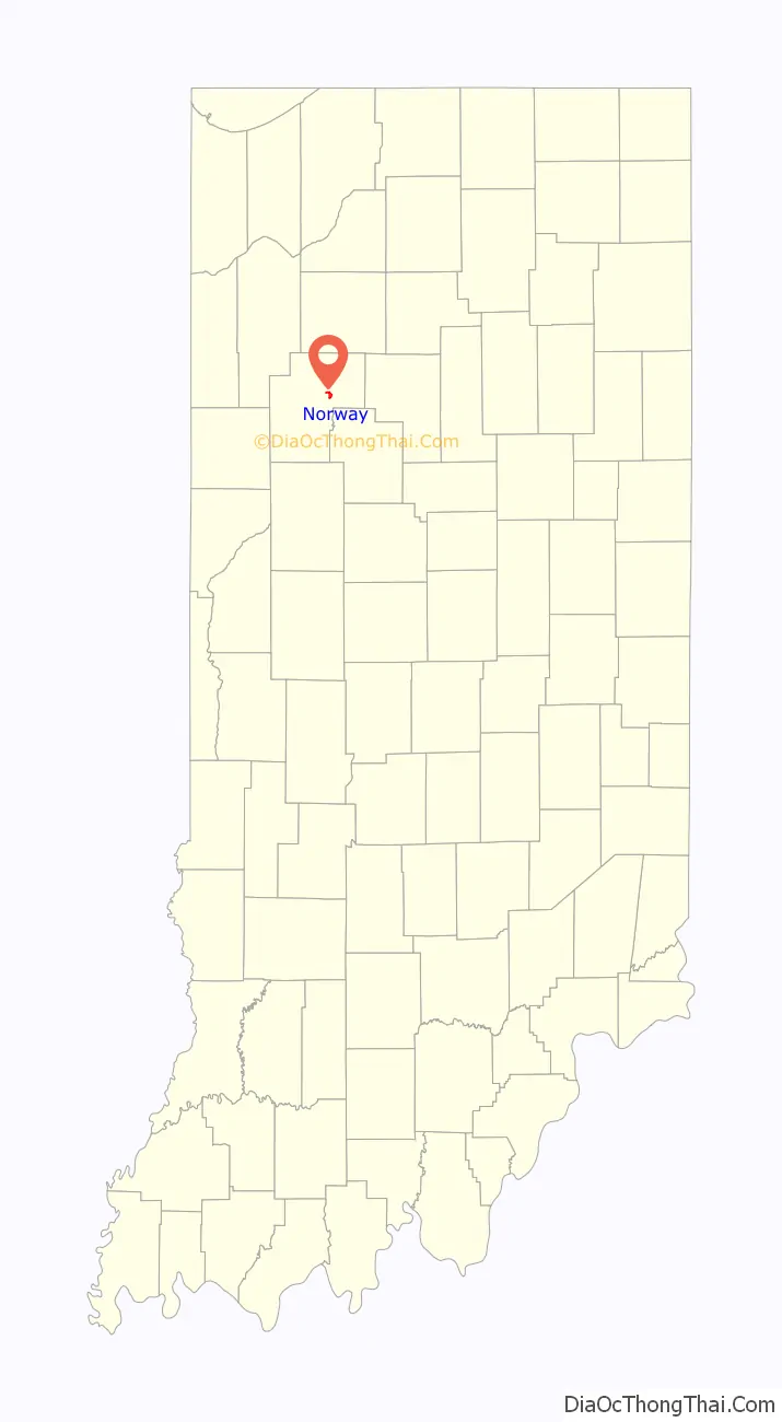
Norway location map. Where is Norway CDP?
History
Norway was originally called Mt. Walleston, and under the latter name was laid out in 1845. A large share of the early settlers being natives of Norway caused the present name to be selected. A post office was established at Norway in 1898, but was soon discontinued, in 1899.
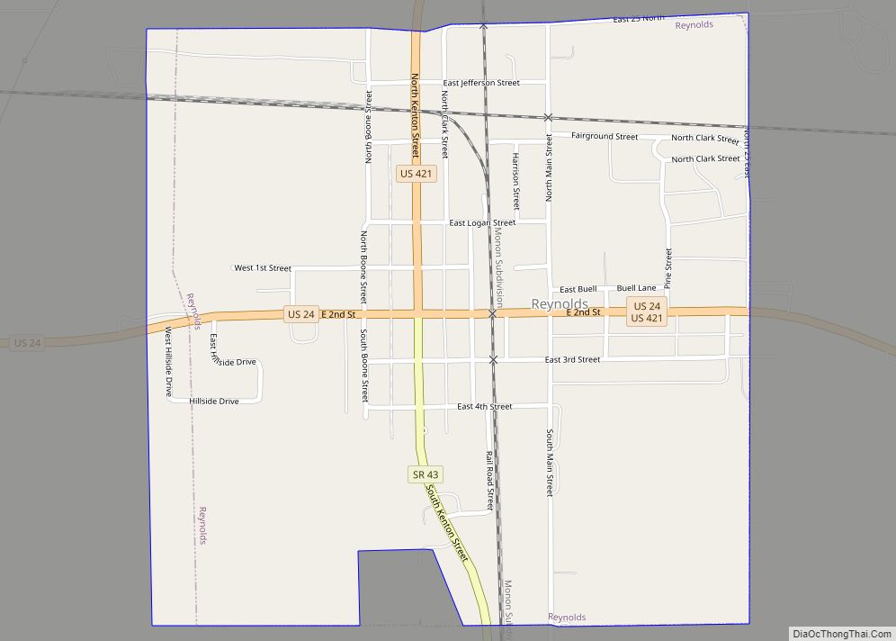
Norway Road Map
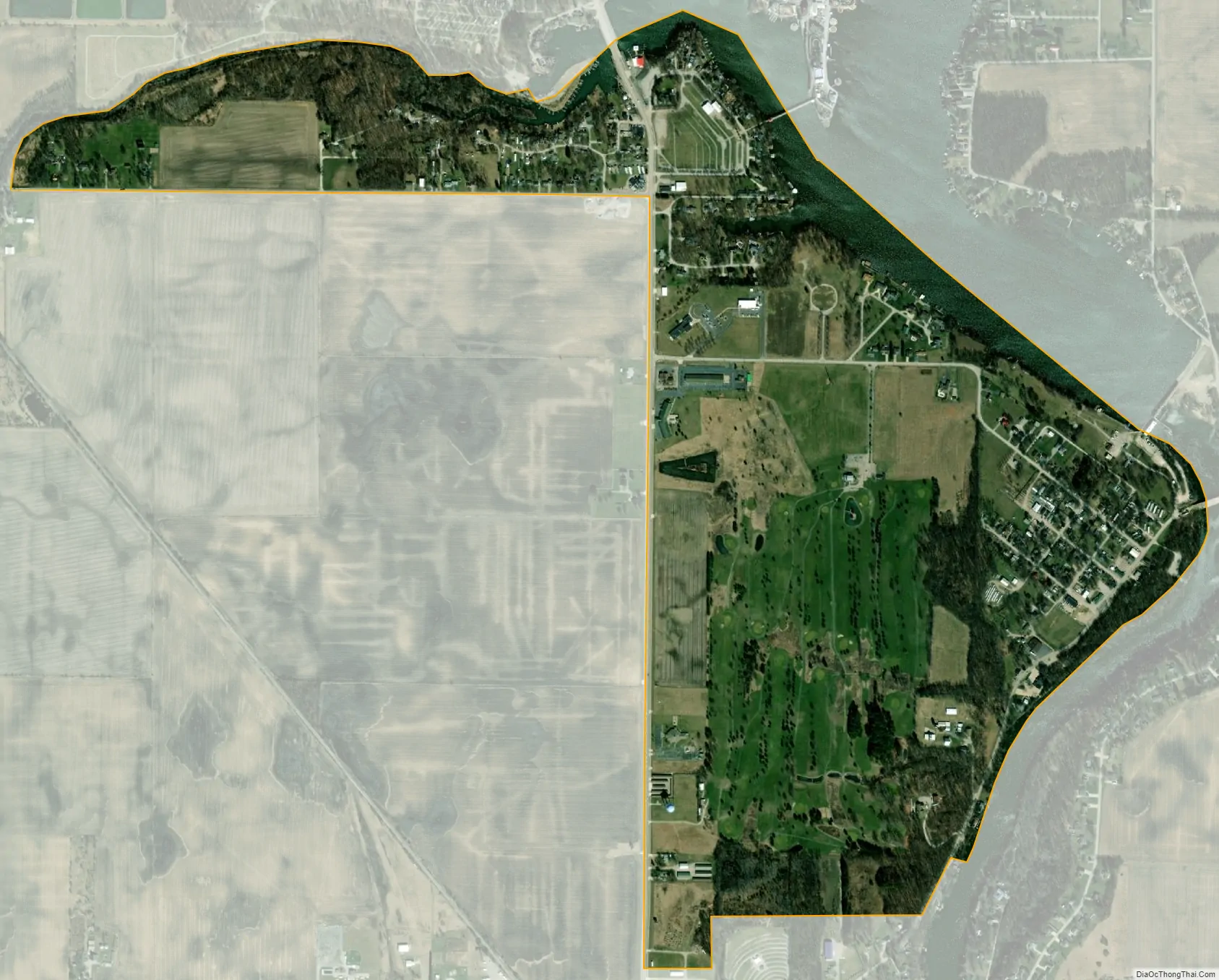
Norway city Satellite Map
Geography
Norway is located at 40°46′55″N 86°46′4″W / 40.78194°N 86.76778°W / 40.78194; -86.76778 (40.781877, -86.767850).
According to the United States Census Bureau, the CDP has a total area of 0.9 square miles (2.3 km), of which 0.9 square miles (2.3 km) is land and 0.1 square miles (0.26 km) (6.32%) is water.
Norway is on Tippecanoe River just below the Norway Dam. The dam holds Lake Shafer, the home of Indiana Beach, an amusement park and campground. Norway’s Southern boundary is also the Northern boundary of Monticello, the more populated county seat and just west of Norway there is the golf course and hotel resort, Pine View.
Despite the small area and population, the central location of Norway and the convenience of the Norway Bridge river crossing (connecting the more populated West Shafer and East Shafer Drives) have allowed for the continued presence and success of several restaurants and other small businesses.
See also
Map of Indiana State and its subdivision:- Adams
- Allen
- Bartholomew
- Benton
- Blackford
- Boone
- Brown
- Carroll
- Cass
- Clark
- Clay
- Clinton
- Crawford
- Daviess
- De Kalb
- Dearborn
- Decatur
- Delaware
- Dubois
- Elkhart
- Fayette
- Floyd
- Fountain
- Franklin
- Fulton
- Gibson
- Grant
- Greene
- Hamilton
- Hancock
- Harrison
- Hendricks
- Henry
- Howard
- Huntington
- Jackson
- Jasper
- Jay
- Jefferson
- Jennings
- Johnson
- Knox
- Kosciusko
- LaGrange
- Lake
- Lake Michigan
- LaPorte
- Lawrence
- Madison
- Marion
- Marshall
- Martin
- Miami
- Monroe
- Montgomery
- Morgan
- Newton
- Noble
- Ohio
- Orange
- Owen
- Parke
- Perry
- Pike
- Porter
- Posey
- Pulaski
- Putnam
- Randolph
- Ripley
- Rush
- Saint Joseph
- Scott
- Shelby
- Spencer
- Starke
- Steuben
- Sullivan
- Switzerland
- Tippecanoe
- Tipton
- Union
- Vanderburgh
- Vermillion
- Vigo
- Wabash
- Warren
- Warrick
- Washington
- Wayne
- Wells
- White
- Whitley
- Alabama
- Alaska
- Arizona
- Arkansas
- California
- Colorado
- Connecticut
- Delaware
- District of Columbia
- Florida
- Georgia
- Hawaii
- Idaho
- Illinois
- Indiana
- Iowa
- Kansas
- Kentucky
- Louisiana
- Maine
- Maryland
- Massachusetts
- Michigan
- Minnesota
- Mississippi
- Missouri
- Montana
- Nebraska
- Nevada
- New Hampshire
- New Jersey
- New Mexico
- New York
- North Carolina
- North Dakota
- Ohio
- Oklahoma
- Oregon
- Pennsylvania
- Rhode Island
- South Carolina
- South Dakota
- Tennessee
- Texas
- Utah
- Vermont
- Virginia
- Washington
- West Virginia
- Wisconsin
- Wyoming