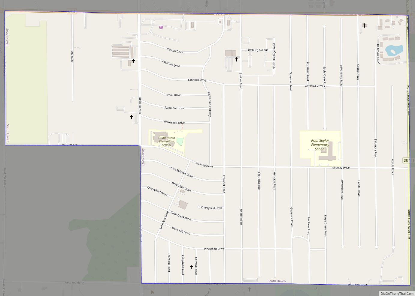
South Haven is a census-designated place in Portage Township, Porter County, in the U.S. state of Indiana. The population was 5,282 at the 2010 census. South Haven CDP overview: Name: South Haven CDP LSAD Code: 57 LSAD Description: CDP (suffix) State: Indiana County: Porter County Elevation: 653 ft (199 m) Total Area: 1.24 sq mi (3.22 km²) Land Area: 1.24 sq mi ... Read more
Indiana Cities and Places
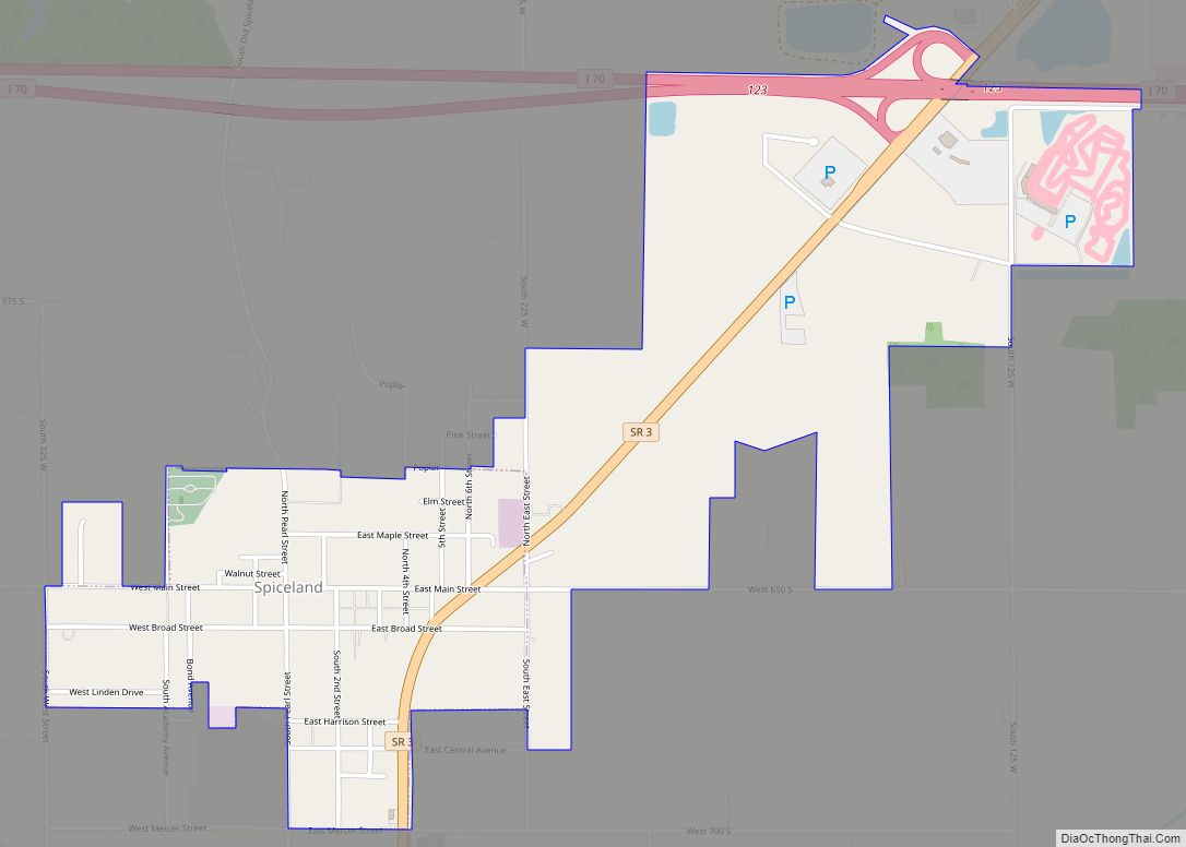
Spiceland is a town in Spiceland Township, Henry County, Indiana, United States. The population was 890 at the 2010 census. Spiceland town overview: Name: Spiceland town LSAD Code: 43 LSAD Description: town (suffix) State: Indiana County: Henry County Elevation: 1,050 ft (320 m) Total Area: 1.46 sq mi (3.78 km²) Land Area: 1.46 sq mi (3.78 km²) Water Area: 0.00 sq mi (0.00 km²) Total Population: ... Read more
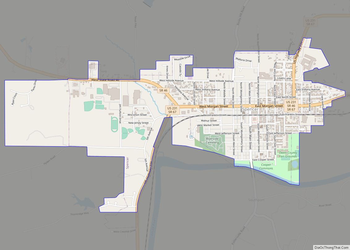
Spencer is a town in Washington Township, Owen County, in the U.S. state of Indiana. The population was 2,217 at the 2010 census. It is the county seat of Owen County. Spencer is part of the Bloomington, Indiana Metropolitan Statistical Area. Spencer town overview: Name: Spencer town LSAD Code: 43 LSAD Description: town (suffix) State: ... Read more
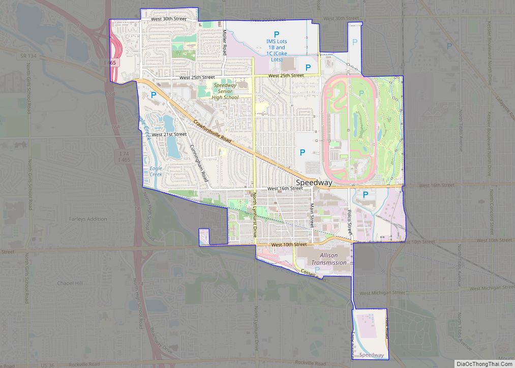
Speedway is a town in Wayne Township, Marion County, Indiana, United States. The population was 13,952 at the 2020 census, up from 11,812 in 2010. Speedway, which is an enclave of Indianapolis, is the home of the Indianapolis Motor Speedway. Speedway town overview: Name: Speedway town LSAD Code: 43 LSAD Description: town (suffix) State: Indiana ... Read more
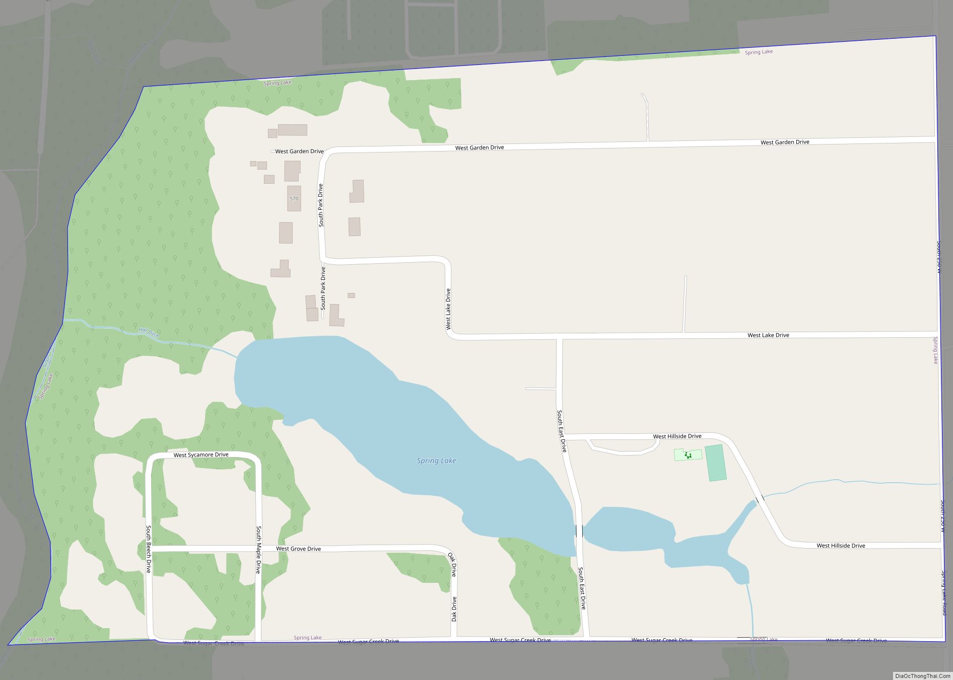
Spring Lake is a town in Sugar Creek Township, Hancock County, Indiana, United States, along Sugar Creek. The population was 218 at the 2010 census. Spring Lake town overview: Name: Spring Lake town LSAD Code: 43 LSAD Description: town (suffix) State: Indiana County: Hancock County Elevation: 850 ft (259 m) Total Area: 0.16 sq mi (0.42 km²) Land Area: 0.15 sq mi ... Read more
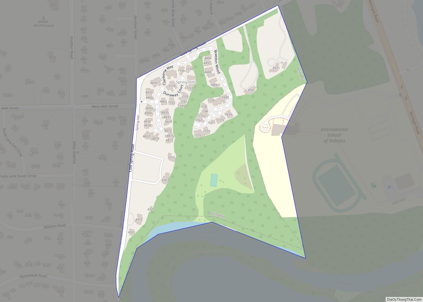
Spring Hill is a town in Marion County, Indiana, United States. The population was 95 at the 2020 census. It has existed as an “included town” since 1970, when it was incorporated into Indianapolis as part of Unigov. It is part of Indianapolis, but retains town governmental powers under IC 36-3-1-11. Spring Hill town overview: ... Read more
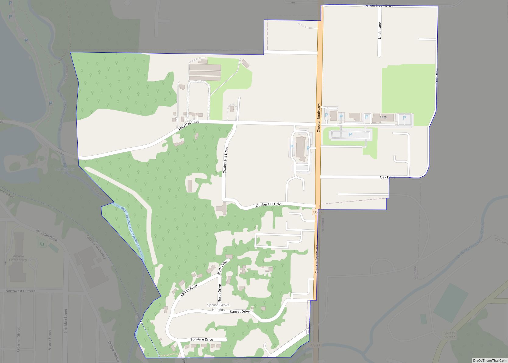
Spring Grove is a town in Wayne Township, Wayne County, in the U.S. state of Indiana. The population was 344 at the 2010 census. Spring Grove town overview: Name: Spring Grove town LSAD Code: 43 LSAD Description: town (suffix) State: Indiana County: Wayne County Elevation: 984 ft (300 m) Total Area: 0.30 sq mi (0.79 km²) Land Area: 0.30 sq mi (0.79 km²) ... Read more
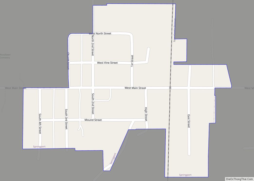
Springport is a town in Prairie Township, Henry County, Indiana, United States. The population was 149 at the 2010 census. Springport town overview: Name: Springport town LSAD Code: 43 LSAD Description: town (suffix) State: Indiana County: Henry County Elevation: 1,063 ft (324 m) Total Area: 0.12 sq mi (0.31 km²) Land Area: 0.12 sq mi (0.31 km²) Water Area: 0.00 sq mi (0.00 km²) Total Population: ... Read more
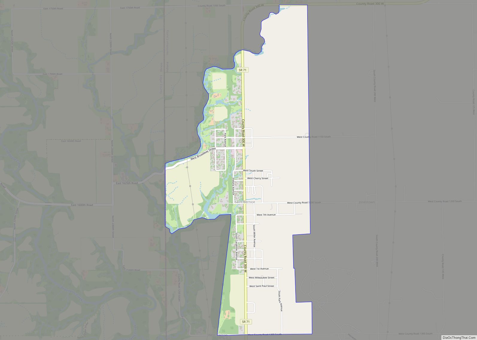
Saint Bernice is an unincorporated census-designated place in Helt Township, Vermillion County, in the U.S. state of Indiana. It had a population of 646 at the 2010 census. St. Bernice CDP overview: Name: St. Bernice CDP LSAD Code: 57 LSAD Description: CDP (suffix) State: Indiana County: Vermillion County Elevation: 577 ft (176 m) Total Area: 1.79 sq mi (4.63 km²) ... Read more
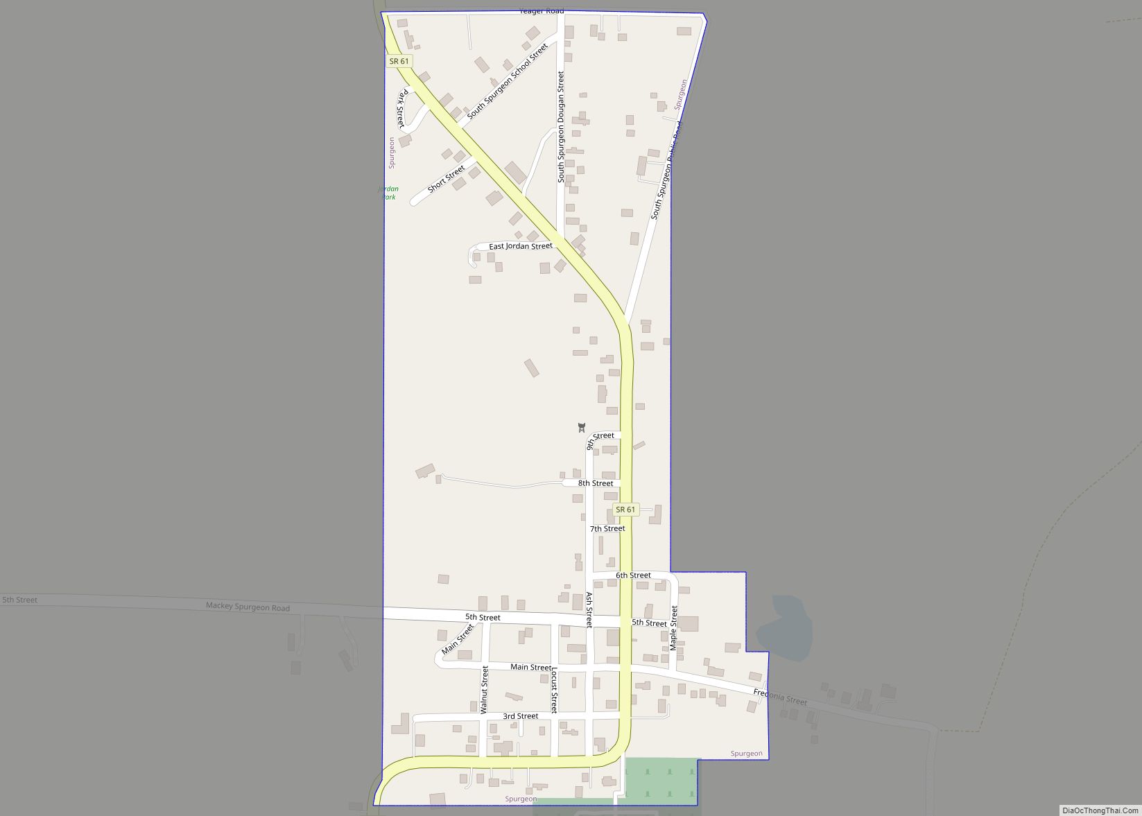
Spurgeon is a town in Monroe Township, Pike County, in the U.S. state of Indiana. The population was 207 at the 2010 census. It is part of the Jasper Micropolitan Statistical Area. Spurgeon town overview: Name: Spurgeon town LSAD Code: 43 LSAD Description: town (suffix) State: Indiana County: Pike County Elevation: 489 ft (149 m) Total Area: ... Read more
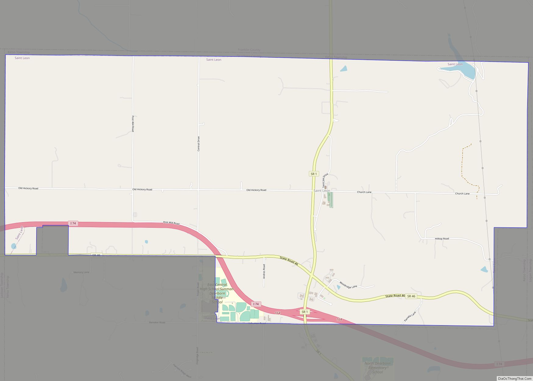
St. Leon is a town in Kelso Township, Dearborn County, Indiana, United States. The population was 678 at the 2010 census. It is also home to a wiffleball tournament, Wifflerama. St. Leon town overview: Name: St. Leon town LSAD Code: 43 LSAD Description: town (suffix) State: Indiana County: Dearborn County Total Area: 6.84 sq mi (17.71 km²) Land ... Read more
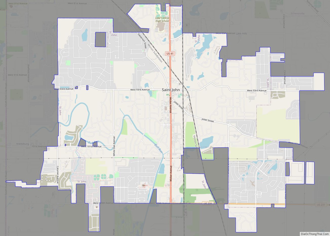
St. John town overview: Name: St. John town LSAD Code: 43 LSAD Description: town (suffix) State: Indiana County: Lake County FIPS code: 1866852 Online Interactive Map St. John online map. Source: Basemap layers from Google Map, Open Street Map (OSM), Arcgisonline, Wmflabs. Boundary Data from Database of Global Administrative Areas. St. John location map. Where ... Read more
