Saint Bernice is an unincorporated census-designated place in Helt Township, Vermillion County, in the U.S. state of Indiana. It had a population of 646 at the 2010 census.
| Name: | St. Bernice CDP |
|---|---|
| LSAD Code: | 57 |
| LSAD Description: | CDP (suffix) |
| State: | Indiana |
| County: | Vermillion County |
| Elevation: | 577 ft (176 m) |
| Total Area: | 1.79 sq mi (4.63 km²) |
| Land Area: | 1.79 sq mi (4.63 km²) |
| Water Area: | 0.00 sq mi (0.00 km²) |
| Total Population: | 595 |
| Population Density: | 332.77/sq mi (128.47/km²) |
| ZIP code: | 47875 |
| Area code: | 765 |
| FIPS code: | 1866762 |
| GNISfeature ID: | 442503 |
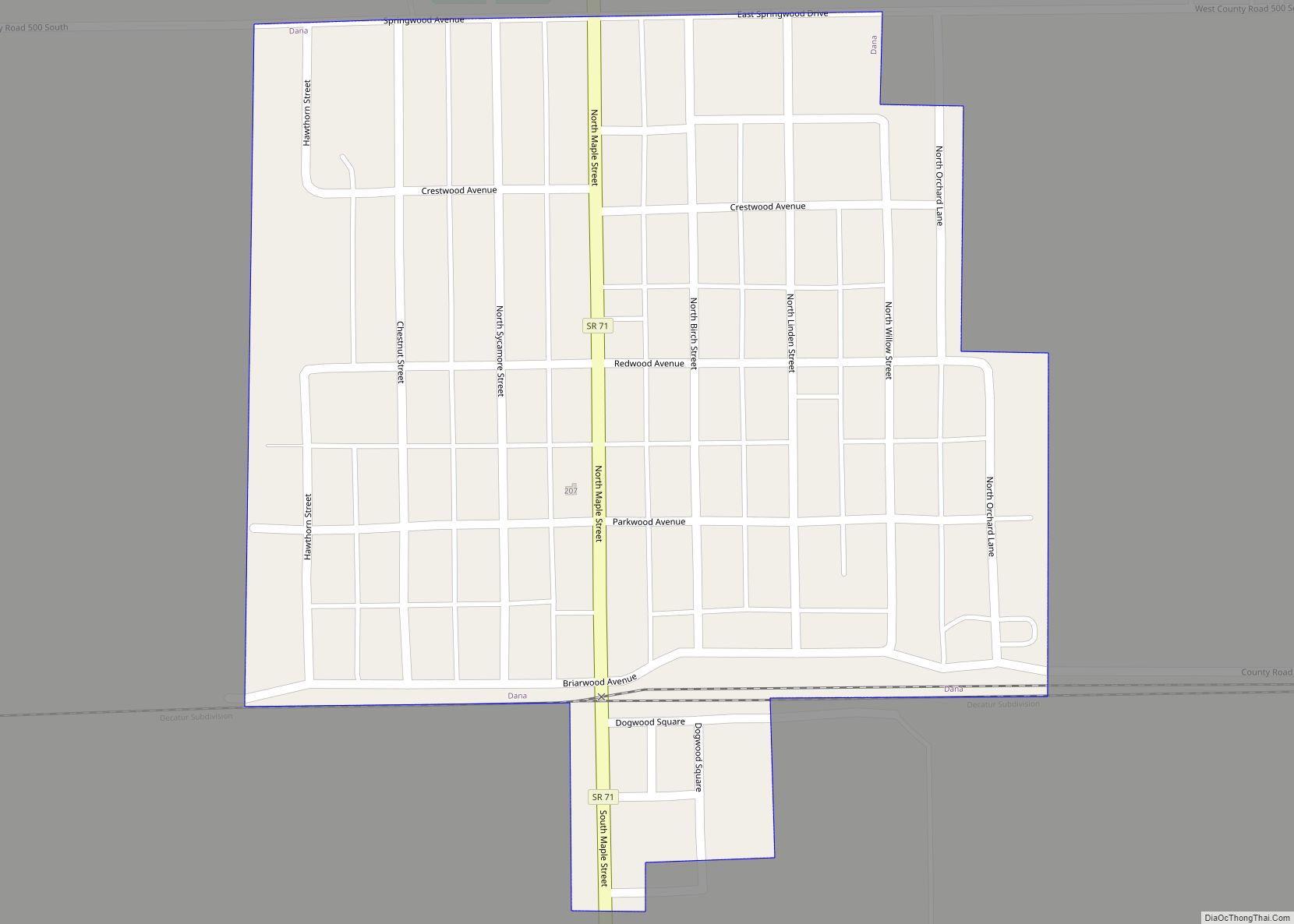
Online Interactive Map
Click on ![]() to view map in "full screen" mode.
to view map in "full screen" mode.
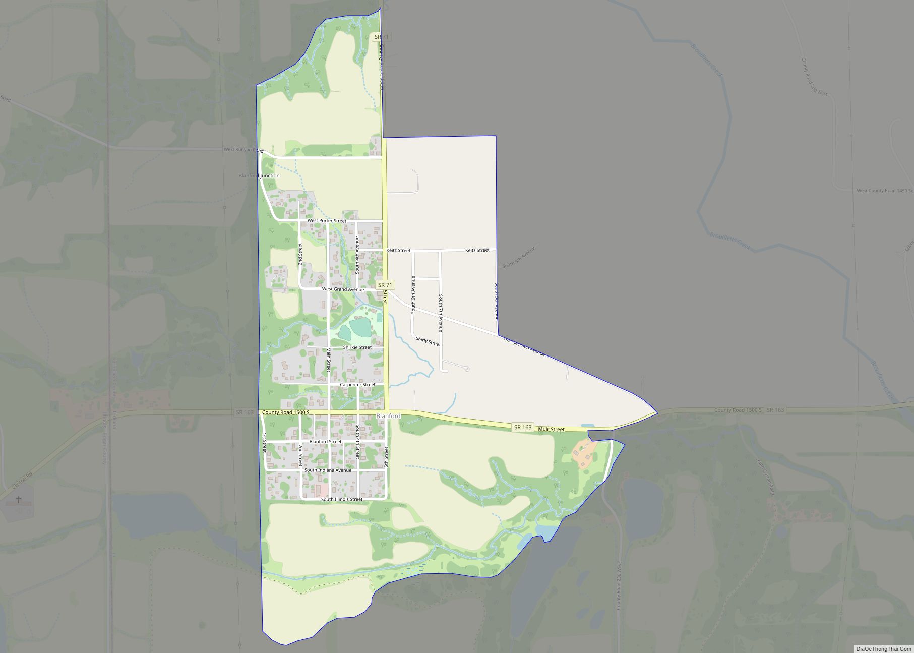
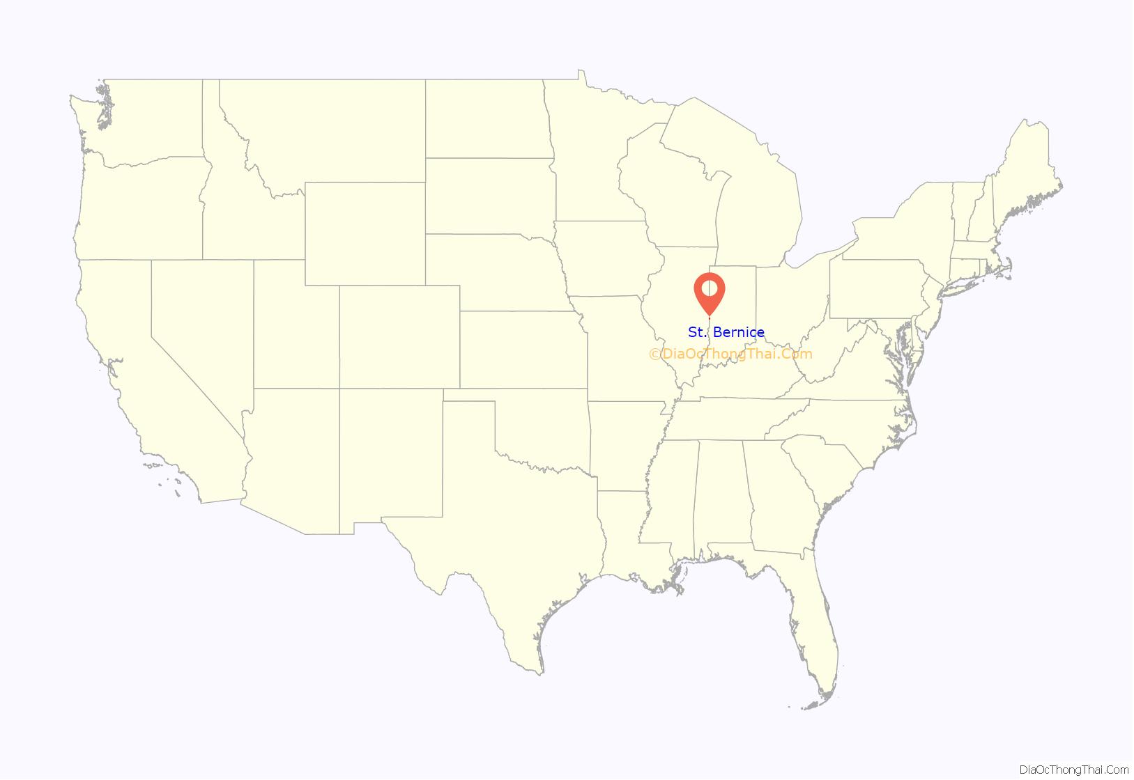
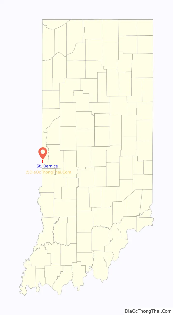
St. Bernice location map. Where is St. Bernice CDP?
History
A post office has been in operation at Saint Bernice since 1867. The plat was filed in 1905. The origin of the name Saint Bernice is obscure.
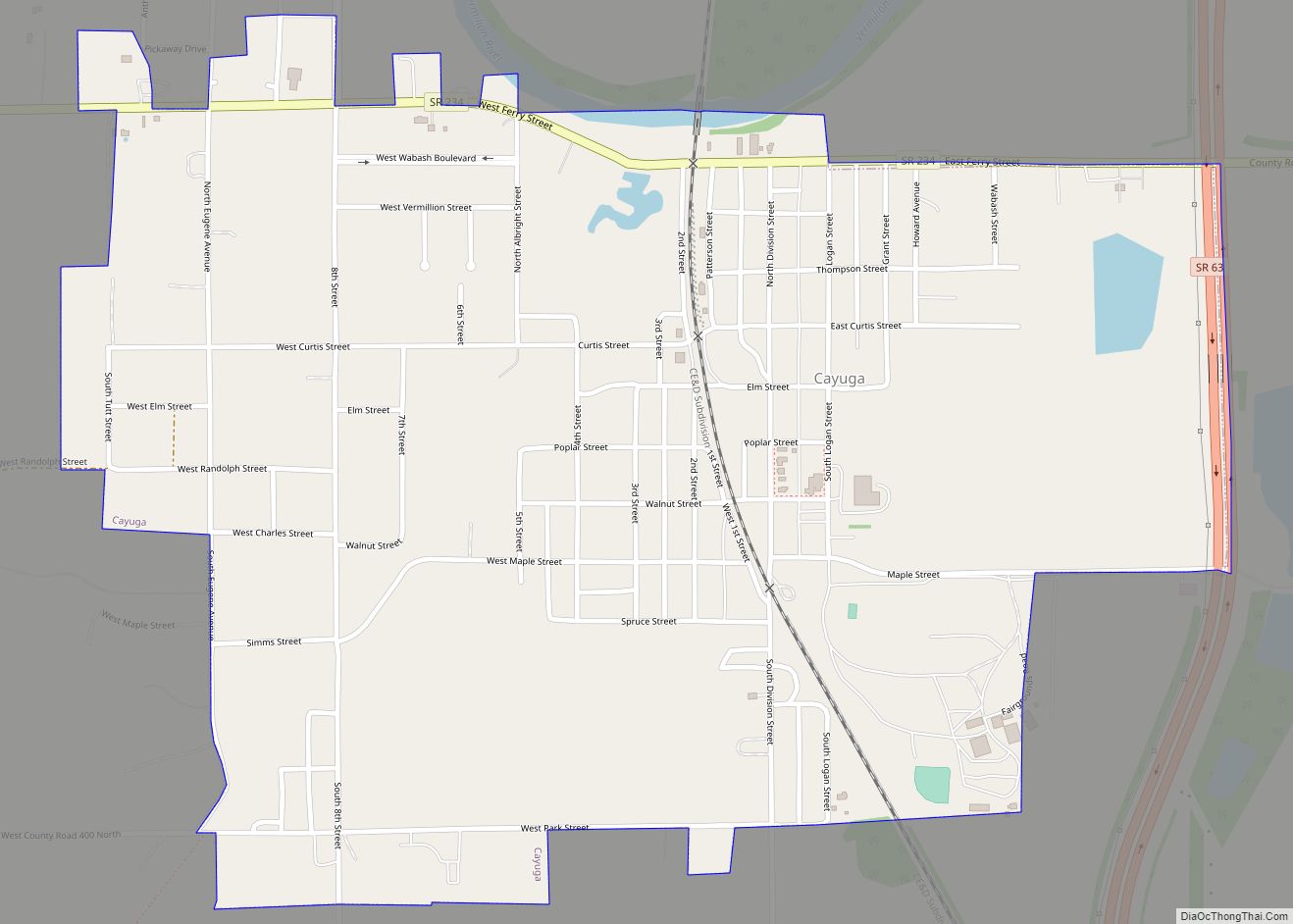
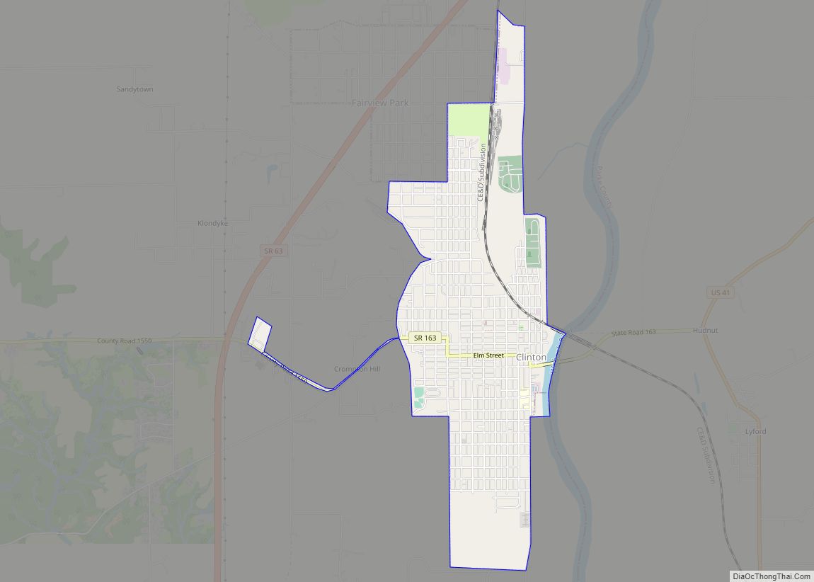
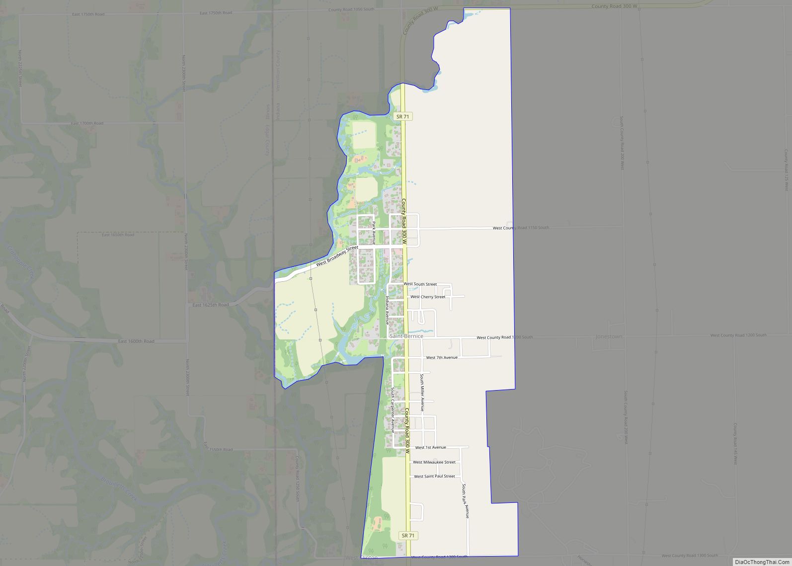
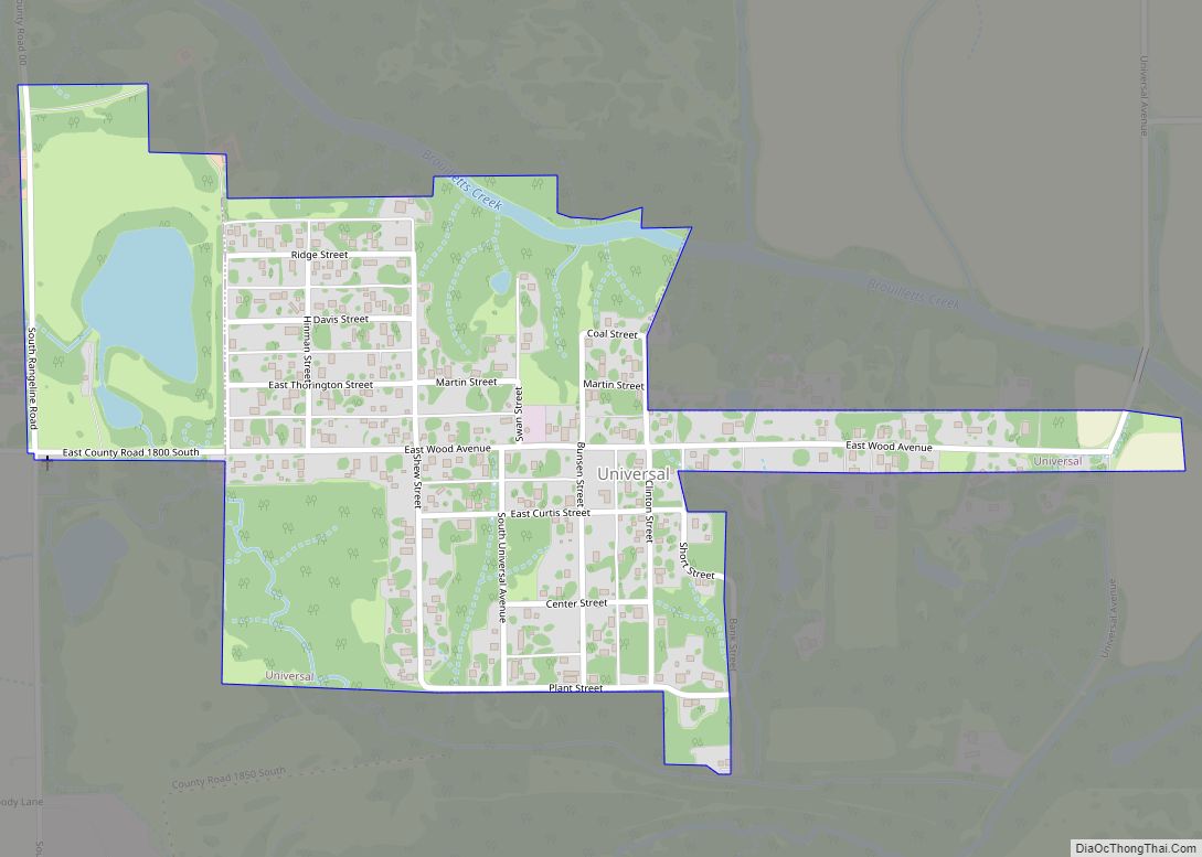
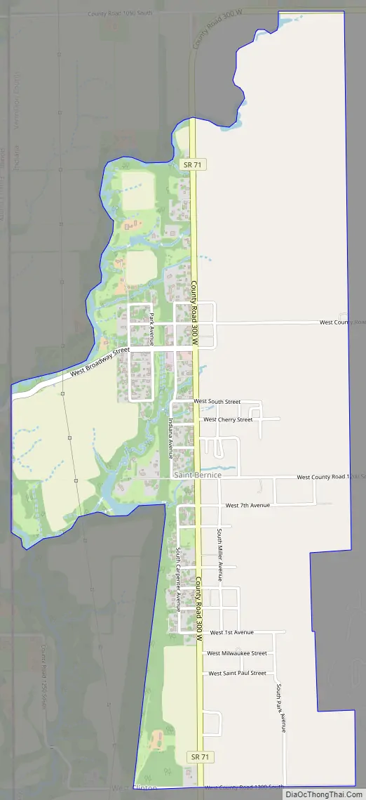
St. Bernice Road Map
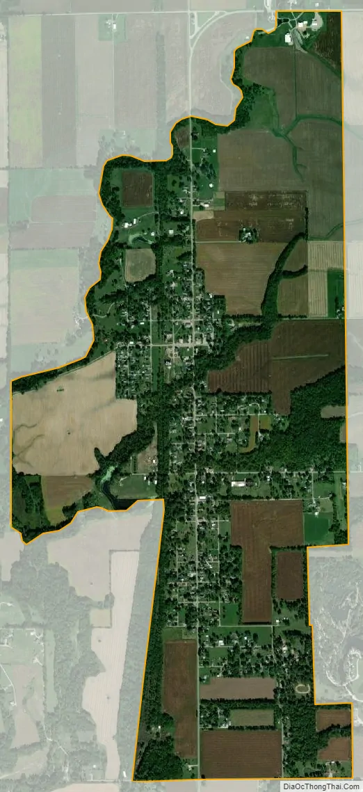
St. Bernice city Satellite Map
Geography
Saint Bernice is located at 39°42′33″N 87°31′17″W / 39.70917°N 87.52139°W / 39.70917; -87.52139.
See also
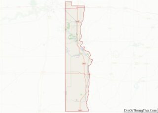
Map of Indiana State and its subdivision:- Adams
- Allen
- Bartholomew
- Benton
- Blackford
- Boone
- Brown
- Carroll
- Cass
- Clark
- Clay
- Clinton
- Crawford
- Daviess
- De Kalb
- Dearborn
- Decatur
- Delaware
- Dubois
- Elkhart
- Fayette
- Floyd
- Fountain
- Franklin
- Fulton
- Gibson
- Grant
- Greene
- Hamilton
- Hancock
- Harrison
- Hendricks
- Henry
- Howard
- Huntington
- Jackson
- Jasper
- Jay
- Jefferson
- Jennings
- Johnson
- Knox
- Kosciusko
- LaGrange
- Lake
- Lake Michigan
- LaPorte
- Lawrence
- Madison
- Marion
- Marshall
- Martin
- Miami
- Monroe
- Montgomery
- Morgan
- Newton
- Noble
- Ohio
- Orange
- Owen
- Parke
- Perry
- Pike
- Porter
- Posey
- Pulaski
- Putnam
- Randolph
- Ripley
- Rush
- Saint Joseph
- Scott
- Shelby
- Spencer
- Starke
- Steuben
- Sullivan
- Switzerland
- Tippecanoe
- Tipton
- Union
- Vanderburgh
- Vermillion
- Vigo
- Wabash
- Warren
- Warrick
- Washington
- Wayne
- Wells
- White
- Whitley
- Alabama
- Alaska
- Arizona
- Arkansas
- California
- Colorado
- Connecticut
- Delaware
- District of Columbia
- Florida
- Georgia
- Hawaii
- Idaho
- Illinois
- Indiana
- Iowa
- Kansas
- Kentucky
- Louisiana
- Maine
- Maryland
- Massachusetts
- Michigan
- Minnesota
- Mississippi
- Missouri
- Montana
- Nebraska
- Nevada
- New Hampshire
- New Jersey
- New Mexico
- New York
- North Carolina
- North Dakota
- Ohio
- Oklahoma
- Oregon
- Pennsylvania
- Rhode Island
- South Carolina
- South Dakota
- Tennessee
- Texas
- Utah
- Vermont
- Virginia
- Washington
- West Virginia
- Wisconsin
- Wyoming