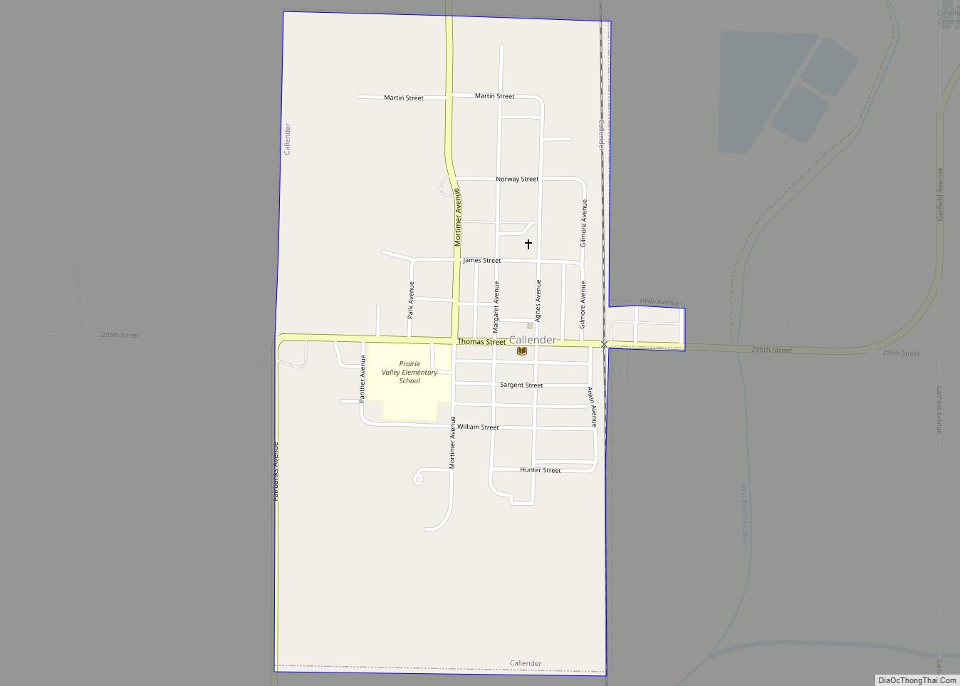
Callender is a city in Webster County, Iowa, United States. The population was 368 at the time of the 2020 census. Callender city overview: Name: Callender city LSAD Code: 25 LSAD Description: city (suffix) State: Iowa County: Webster County Elevation: 1,152 ft (351 m) Total Area: 0.53 sq mi (1.36 km²) Land Area: 0.53 sq mi (1.36 km²) Water Area: 0.00 sq mi (0.00 km²) Total ... Read more
Iowa Cities and Places
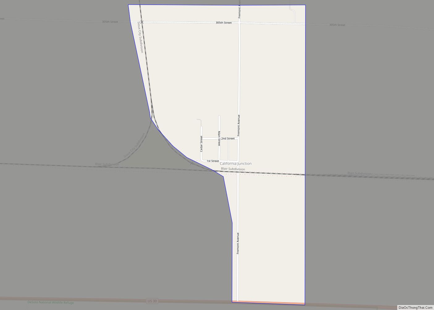
California Junction is an unincorporated community and census-designated place (CDP) in Harrison County, Iowa, United States. It lies just east of the junction between the east–west and north–south lines of the former Sioux City and Pacific Railroad. In the 2010 census it had a population of 85 inhabitants and a population density of 184.38 people per ... Read more
Cambridge is a city in Story County, Iowa, United States. The population was 827 at the 2020 census. It is part of the Ames, Iowa Metropolitan Statistical Area, which is a part of the larger Ames-Boone, Iowa Combined Statistical Area. Cambridge city overview: Name: Cambridge city LSAD Code: 25 LSAD Description: city (suffix) State: Iowa ... Read more
Camanche (/kəˈmæntʃ/) is a city in Clinton County, Iowa, United States, on the Mississippi River. The population was 4,570 at the time of the 2020 census. Camanche city overview: Name: Camanche city LSAD Code: 25 LSAD Description: city (suffix) State: Iowa County: Clinton County Founded: 1818 Elevation: 595 ft (182 m) Total Area: 9.66 sq mi (25.02 km²) Land Area: ... Read more
Calumet is a city in O’Brien County, Iowa, United States. The population was 146 at the 2020 census. Calumet city overview: Name: Calumet city LSAD Code: 25 LSAD Description: city (suffix) State: Iowa County: O’Brien County Elevation: 1,437 ft (438 m) Total Area: 0.27 sq mi (0.69 km²) Land Area: 0.27 sq mi (0.69 km²) Water Area: 0.00 sq mi (0.00 km²) Total Population: 146 Population ... Read more
Carlisle is a city in Warren and Polk counties in the U.S. state of Iowa. The population was 4,160 at the 2020 census. The city is part of the Des Moines–West Des Moines Metropolitan Statistical Area. The city received considerable media attention in 1997 when Carlisle residents Kenny and Bobbi McCaughey (pronounced “McCoy”) became the ... Read more
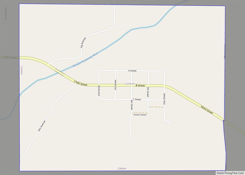
Carbon is a city in Douglas Township, Adams County, Iowa, United States. The population was 36 at the 2020 census. Note that other places in Iowa have been named Carbon: there was a Carbon Post Office in Davis County, six miles south of Ottumwa, that operated for less than a year in 1881. There was ... Read more
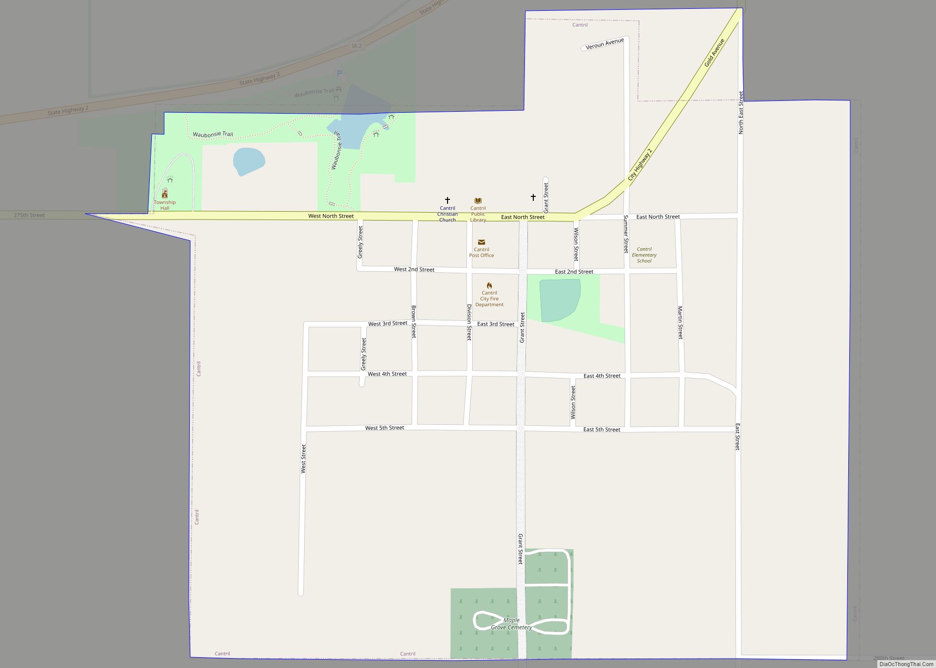
Cantril is a city in Van Buren County, Iowa, United States. The population was 224 at the 2020 census. Cantril city overview: Name: Cantril city LSAD Code: 25 LSAD Description: city (suffix) State: Iowa County: Van Buren County Elevation: 781 ft (238 m) Total Area: 0.52 sq mi (1.34 km²) Land Area: 0.52 sq mi (1.34 km²) Water Area: 0.00 sq mi (0.00 km²) Total Population: ... Read more
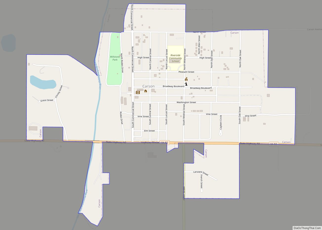
Carson is a city in Pottawattamie County, Iowa, United States. The population was 766 at the 2020 census. Carson has a number of interesting and historic places. Carson city overview: Name: Carson city LSAD Code: 25 LSAD Description: city (suffix) State: Iowa County: Pottawattamie County Elevation: 1,152 ft (351 m) Total Area: 0.65 sq mi (1.69 km²) Land Area: 0.65 sq mi ... Read more
Carroll is a city in, and the county seat of, Carroll County, Iowa, United States, along the Middle Raccoon River. The population was 10,321 in the 2020 census. Carroll city overview: Name: Carroll city LSAD Code: 25 LSAD Description: city (suffix) State: Iowa County: Carroll County Elevation: 1,270 ft (387 m) Total Area: 5.74 sq mi (14.86 km²) Land Area: ... Read more
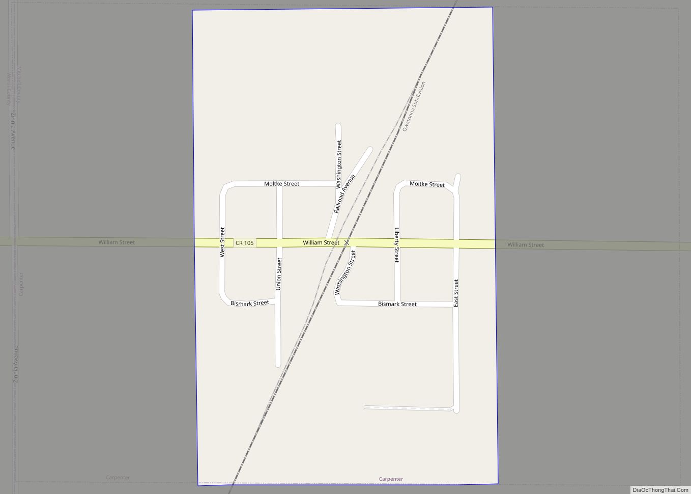
Carpenter is a city in Mitchell County, Iowa, United States. The population was 87 at the 2020 census. Carpenter city overview: Name: Carpenter city LSAD Code: 25 LSAD Description: city (suffix) State: Iowa County: Mitchell County Elevation: 1,191 ft (363 m) Total Area: 0.35 sq mi (0.91 km²) Land Area: 0.35 sq mi (0.91 km²) Water Area: 0.00 sq mi (0.00 km²) Total Population: 87 Population ... Read more
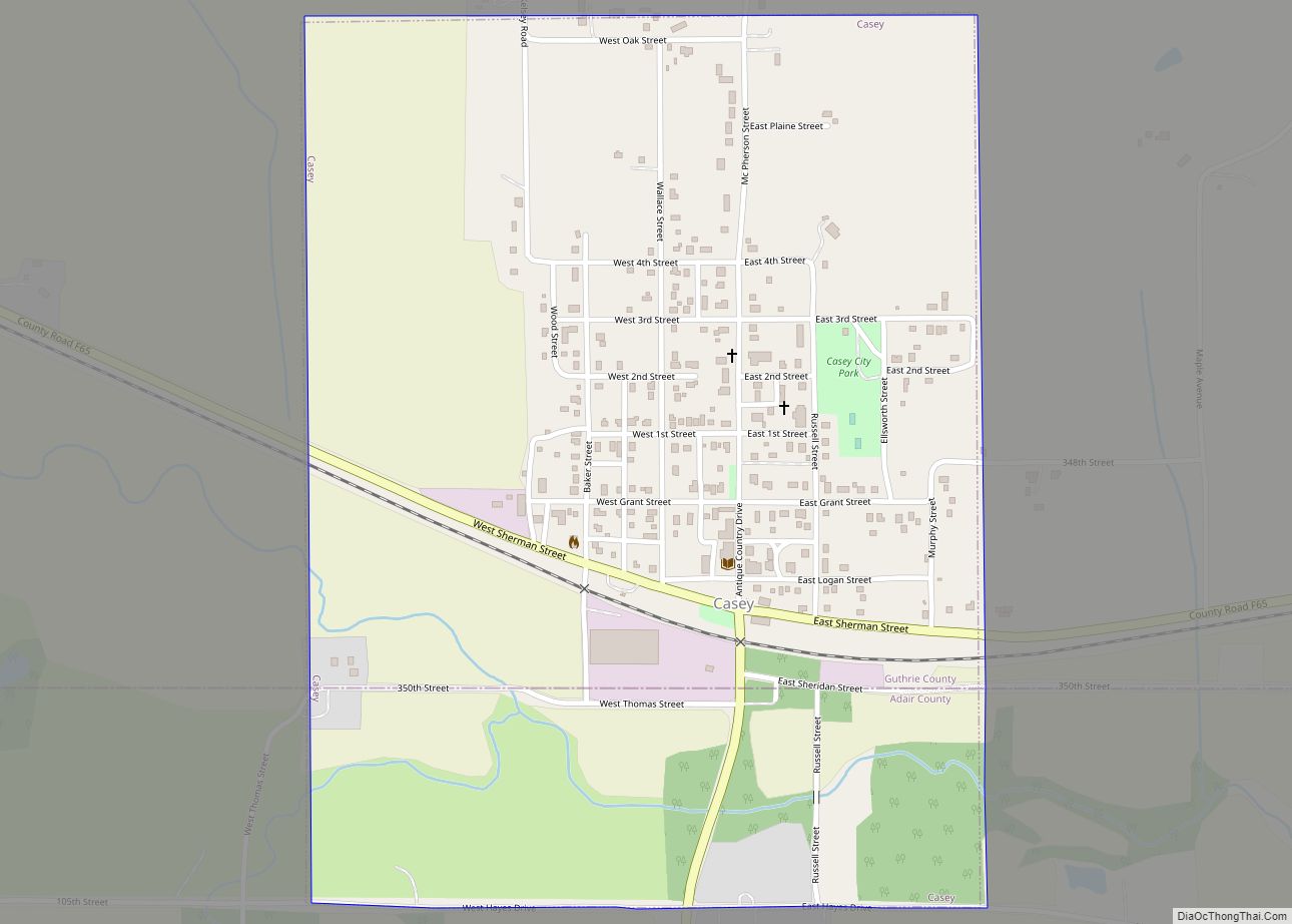
Casey is a city in Adair and Guthrie counties in the U.S. state of Iowa. The population was 387 at the 2020 census. The Guthrie County portion of Casey is part of the Des Moines – West Des Moines Metropolitan Statistical Area. Casey city overview: Name: Casey city LSAD Code: 25 LSAD Description: city (suffix) ... Read more
