Carroll is a city in, and the county seat of, Carroll County, Iowa, United States, along the Middle Raccoon River. The population was 10,321 in the 2020 census.
| Name: | Carroll city |
|---|---|
| LSAD Code: | 25 |
| LSAD Description: | city (suffix) |
| State: | Iowa |
| County: | Carroll County |
| Elevation: | 1,270 ft (387 m) |
| Total Area: | 5.74 sq mi (14.86 km²) |
| Land Area: | 5.74 sq mi (14.86 km²) |
| Water Area: | 0.00 sq mi (0.00 km²) |
| Total Population: | 10,321 |
| Population Density: | 1,798.40/sq mi (694.34/km²) |
| ZIP code: | 51401 |
| Area code: | 712 |
| FIPS code: | 1911080 |
| GNISfeature ID: | 0455182 |
| Website: | www.cityofcarroll.com |
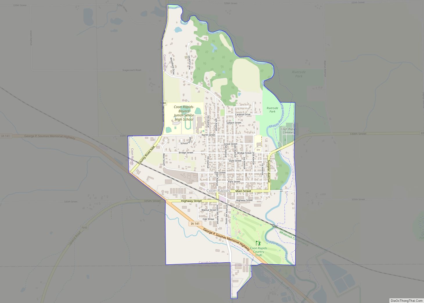
Online Interactive Map
Click on ![]() to view map in "full screen" mode.
to view map in "full screen" mode.
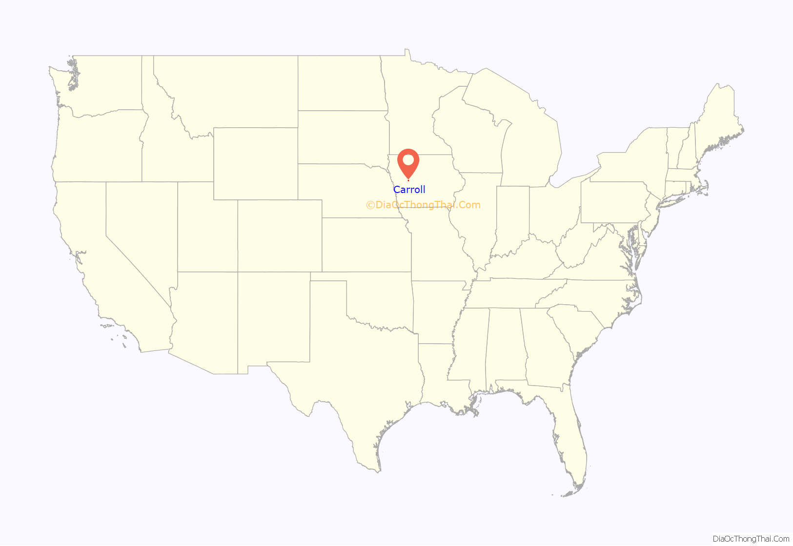
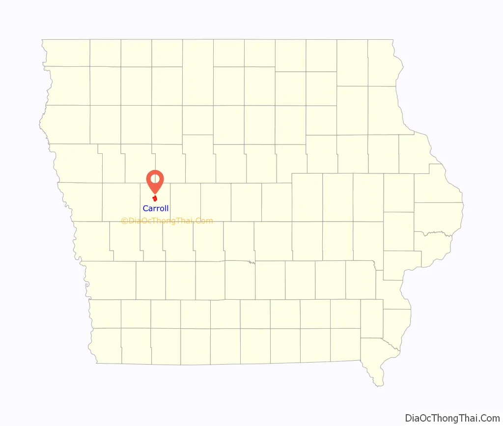
Carroll location map. Where is Carroll city?
History
Carroll was laid out in 1867. It took its name from Carroll County, which was named in honor of Charles Carroll of Carrollton, Maryland. He was the only Roman Catholic to sign the Declaration of Independence.
In 1869, the centrally located railroad town of Carroll City was selected as the county seat, replacing, with some protest, Carrollton. Later a $4,000 courthouse was constructed on the town square. This building was used until it burned to the ground in 1886. The vaults and records were undamaged, however, and moved to temporary housing in the Joyce Building and Drees’ Music Hall.
The following winter a $40,000 bond issue was approved toward the construction of a new, permanent courthouse. The stone-and-brick building was built on the northwest corner of the square (the parking lot of the current courthouse). The courthouse, complete with a clock-tower, was used for more than three-quarters of a century, then replaced by a modern-looking building in 1965.
A $750,000 bond issue was used to construct and equip the new courthouse. This building was officially dedicated on September 24, 1966. The highlight of the dedication ceremony was the opening of the boxes sealed in the cornerstone of the old courthouse. The bell from the previous courthouse clock tower sits on the courthouse grounds.
Carroll Road Map
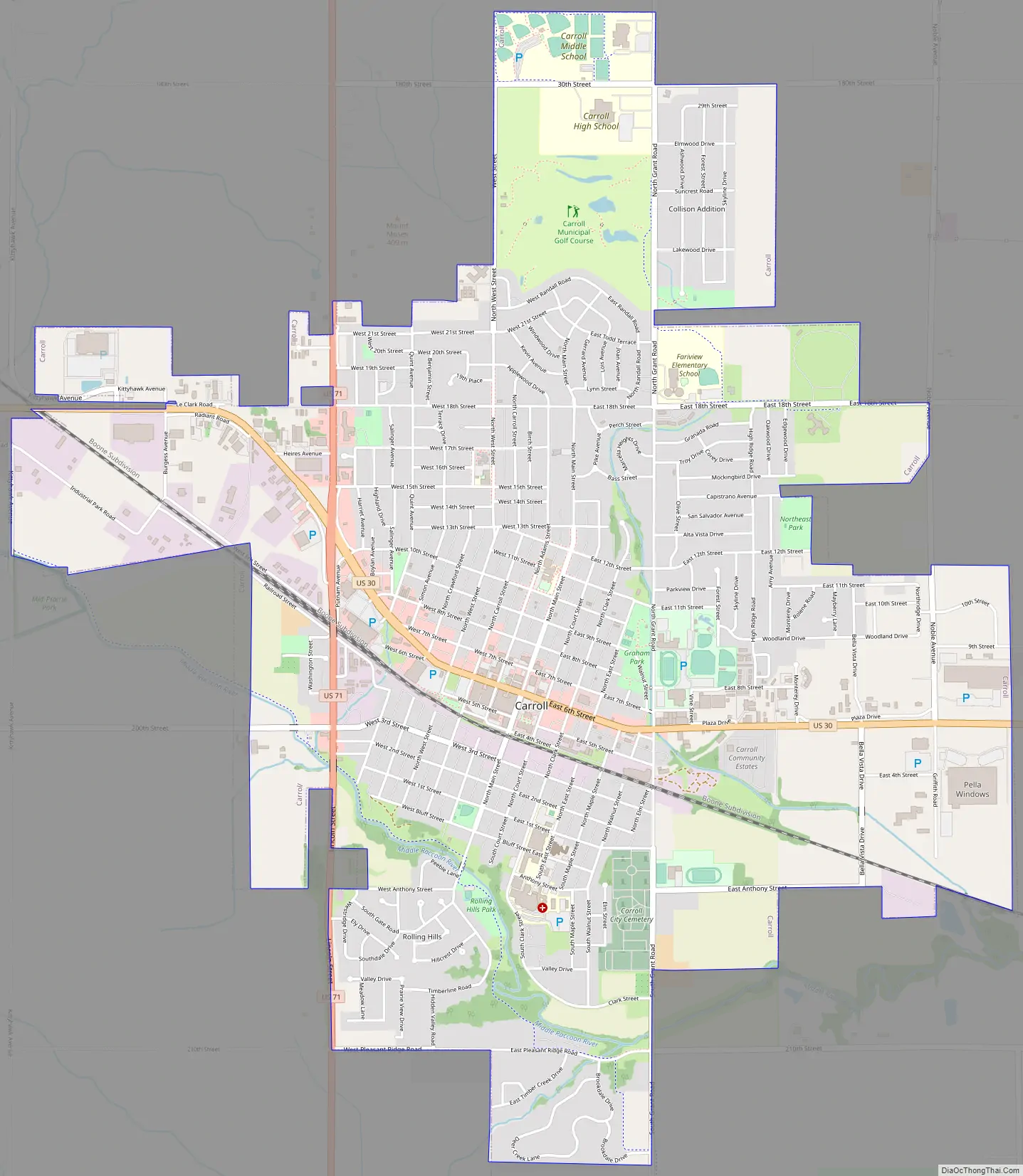
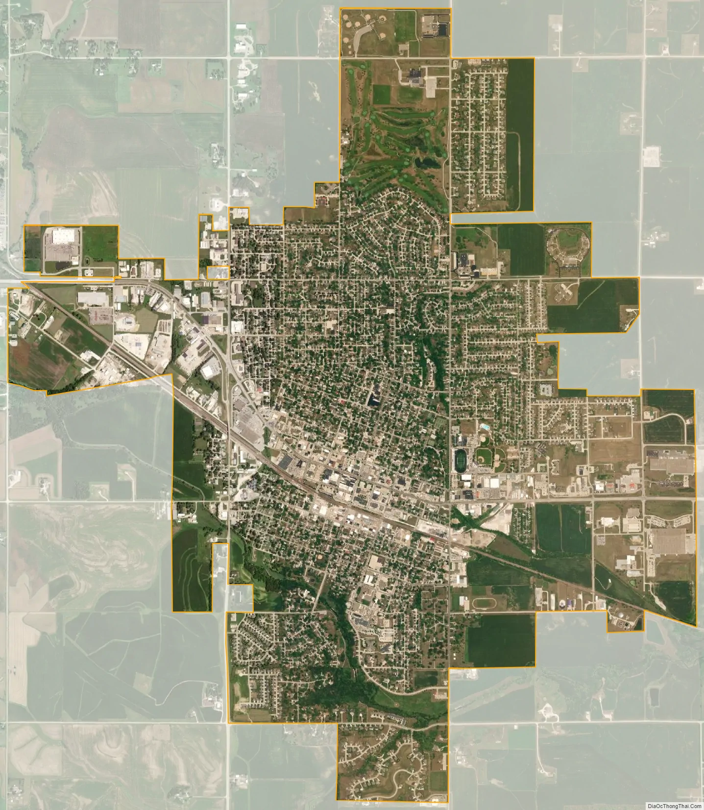
Carroll city Satellite Map
Geography
Carroll is located at 42°4′10″N 94°51′59″W / 42.06944°N 94.86639°W / 42.06944; -94.86639 (42.069544, −94.866361).
According to the United States Census Bureau, the city has a total area of 5.69 square miles (14.74 km), all land.
Climate
According to the Köppen Climate Classification system, Carroll has a hot-summer humid continental climate, abbreviated “Dfa” on climate maps.
See also
Map of Iowa State and its subdivision:- Adair
- Adams
- Allamakee
- Appanoose
- Audubon
- Benton
- Black Hawk
- Boone
- Bremer
- Buchanan
- Buena Vista
- Butler
- Calhoun
- Carroll
- Cass
- Cedar
- Cerro Gordo
- Cherokee
- Chickasaw
- Clarke
- Clay
- Clayton
- Clinton
- Crawford
- Dallas
- Davis
- Decatur
- Delaware
- Des Moines
- Dickinson
- Dubuque
- Emmet
- Fayette
- Floyd
- Franklin
- Fremont
- Greene
- Grundy
- Guthrie
- Hamilton
- Hancock
- Hardin
- Harrison
- Henry
- Howard
- Humboldt
- Ida
- Iowa
- Jackson
- Jasper
- Jefferson
- Johnson
- Jones
- Keokuk
- Kossuth
- Lee
- Linn
- Louisa
- Lucas
- Lyon
- Madison
- Mahaska
- Marion
- Marshall
- Mills
- Mitchell
- Monona
- Monroe
- Montgomery
- Muscatine
- O'Brien
- Osceola
- Page
- Palo Alto
- Plymouth
- Pocahontas
- Polk
- Pottawattamie
- Poweshiek
- Ringgold
- Sac
- Scott
- Shelby
- Sioux
- Story
- Tama
- Taylor
- Union
- Van Buren
- Wapello
- Warren
- Washington
- Wayne
- Webster
- Winnebago
- Winneshiek
- Woodbury
- Worth
- Wright
- Alabama
- Alaska
- Arizona
- Arkansas
- California
- Colorado
- Connecticut
- Delaware
- District of Columbia
- Florida
- Georgia
- Hawaii
- Idaho
- Illinois
- Indiana
- Iowa
- Kansas
- Kentucky
- Louisiana
- Maine
- Maryland
- Massachusetts
- Michigan
- Minnesota
- Mississippi
- Missouri
- Montana
- Nebraska
- Nevada
- New Hampshire
- New Jersey
- New Mexico
- New York
- North Carolina
- North Dakota
- Ohio
- Oklahoma
- Oregon
- Pennsylvania
- Rhode Island
- South Carolina
- South Dakota
- Tennessee
- Texas
- Utah
- Vermont
- Virginia
- Washington
- West Virginia
- Wisconsin
- Wyoming