Camanche (/kəˈmæntʃ/) is a city in Clinton County, Iowa, United States, on the Mississippi River. The population was 4,570 at the time of the 2020 census.
| Name: | Camanche city |
|---|---|
| LSAD Code: | 25 |
| LSAD Description: | city (suffix) |
| State: | Iowa |
| County: | Clinton County |
| Founded: | 1818 |
| Elevation: | 595 ft (182 m) |
| Total Area: | 9.66 sq mi (25.02 km²) |
| Land Area: | 8.88 sq mi (23.00 km²) |
| Water Area: | 0.78 sq mi (2.02 km²) 7.95% |
| Total Population: | 4,570 |
| Population Density: | 514.64/sq mi (198.70/km²) |
| ZIP code: | 52730 |
| Area code: | 563 |
| FIPS code: | 1910135 |
| GNISfeature ID: | 0455096 |
| Website: | www.camancheia.org |
Online Interactive Map
Click on ![]() to view map in "full screen" mode.
to view map in "full screen" mode.
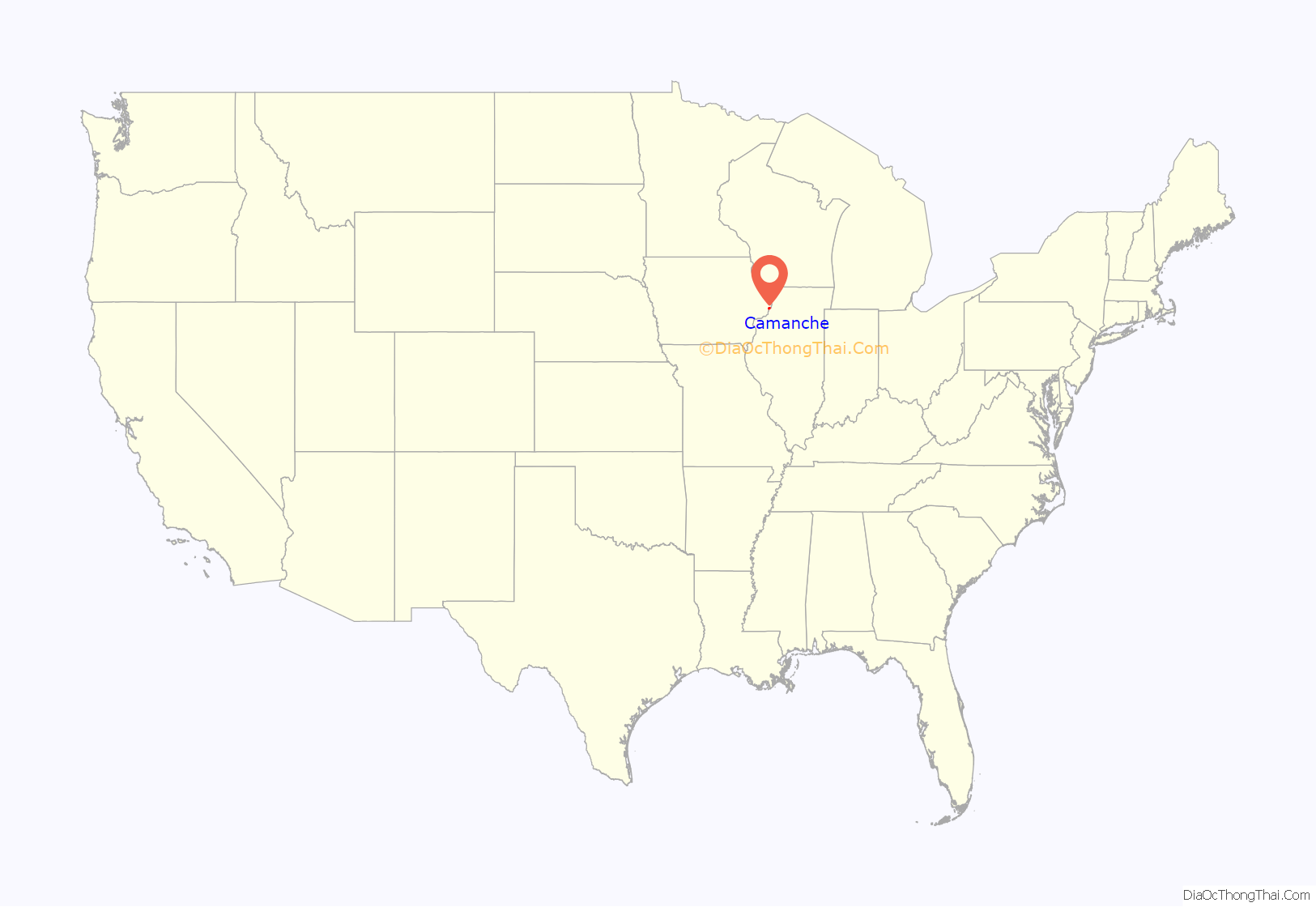
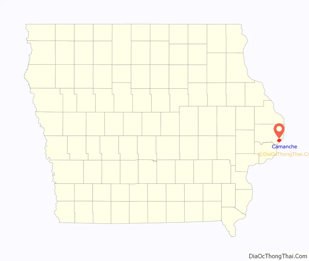
Camanche location map. Where is Camanche city?
History
A post office has been in operation in Camanche since 1837. The community was named after the Comanche Indian tribe.
1860 tornado
On Sunday, June 3, 1860, a tornado struck Camanche. Few buildings were left standing, and all structures were badly damaged. The storm moved at 50 mph. The lack of an organized way to report weather events left people living along the Mississippi River vulnerable. A raft carrying 26 men was hit outside Camanche, and only three on board survived. The tornado killed a total of 92 people, including at least 41 in Camanche. The outbreak as a whole killed more than 140 people in just a few hours and injured over 300.
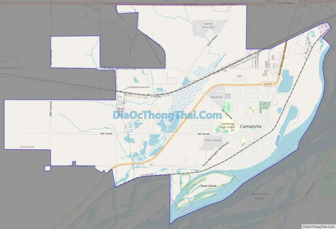
Camanche Road Map
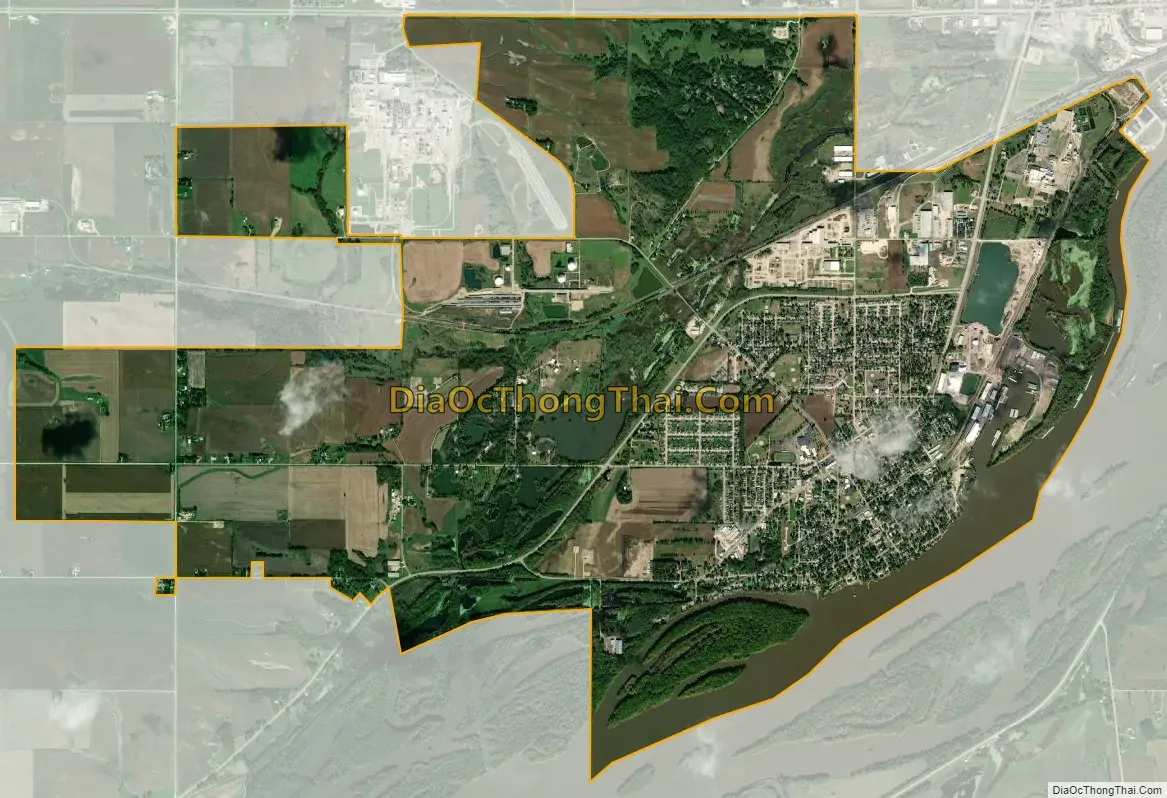
Camanche city Satellite Map
Geography
Camanche is located at 41°47′11″N 90°15′36″W / 41.786470°N 90.259898°W / 41.786470; -90.259898 (41.786470, -90.259898).
According to the United States Census Bureau, the city has a total area of 9.43 square miles (24.42 km), of which 8.68 square miles (22.48 km) is land and 0.75 square miles (1.94 km) is water.
See also
Map of Iowa State and its subdivision:- Adair
- Adams
- Allamakee
- Appanoose
- Audubon
- Benton
- Black Hawk
- Boone
- Bremer
- Buchanan
- Buena Vista
- Butler
- Calhoun
- Carroll
- Cass
- Cedar
- Cerro Gordo
- Cherokee
- Chickasaw
- Clarke
- Clay
- Clayton
- Clinton
- Crawford
- Dallas
- Davis
- Decatur
- Delaware
- Des Moines
- Dickinson
- Dubuque
- Emmet
- Fayette
- Floyd
- Franklin
- Fremont
- Greene
- Grundy
- Guthrie
- Hamilton
- Hancock
- Hardin
- Harrison
- Henry
- Howard
- Humboldt
- Ida
- Iowa
- Jackson
- Jasper
- Jefferson
- Johnson
- Jones
- Keokuk
- Kossuth
- Lee
- Linn
- Louisa
- Lucas
- Lyon
- Madison
- Mahaska
- Marion
- Marshall
- Mills
- Mitchell
- Monona
- Monroe
- Montgomery
- Muscatine
- O'Brien
- Osceola
- Page
- Palo Alto
- Plymouth
- Pocahontas
- Polk
- Pottawattamie
- Poweshiek
- Ringgold
- Sac
- Scott
- Shelby
- Sioux
- Story
- Tama
- Taylor
- Union
- Van Buren
- Wapello
- Warren
- Washington
- Wayne
- Webster
- Winnebago
- Winneshiek
- Woodbury
- Worth
- Wright
- Alabama
- Alaska
- Arizona
- Arkansas
- California
- Colorado
- Connecticut
- Delaware
- District of Columbia
- Florida
- Georgia
- Hawaii
- Idaho
- Illinois
- Indiana
- Iowa
- Kansas
- Kentucky
- Louisiana
- Maine
- Maryland
- Massachusetts
- Michigan
- Minnesota
- Mississippi
- Missouri
- Montana
- Nebraska
- Nevada
- New Hampshire
- New Jersey
- New Mexico
- New York
- North Carolina
- North Dakota
- Ohio
- Oklahoma
- Oregon
- Pennsylvania
- Rhode Island
- South Carolina
- South Dakota
- Tennessee
- Texas
- Utah
- Vermont
- Virginia
- Washington
- West Virginia
- Wisconsin
- Wyoming


