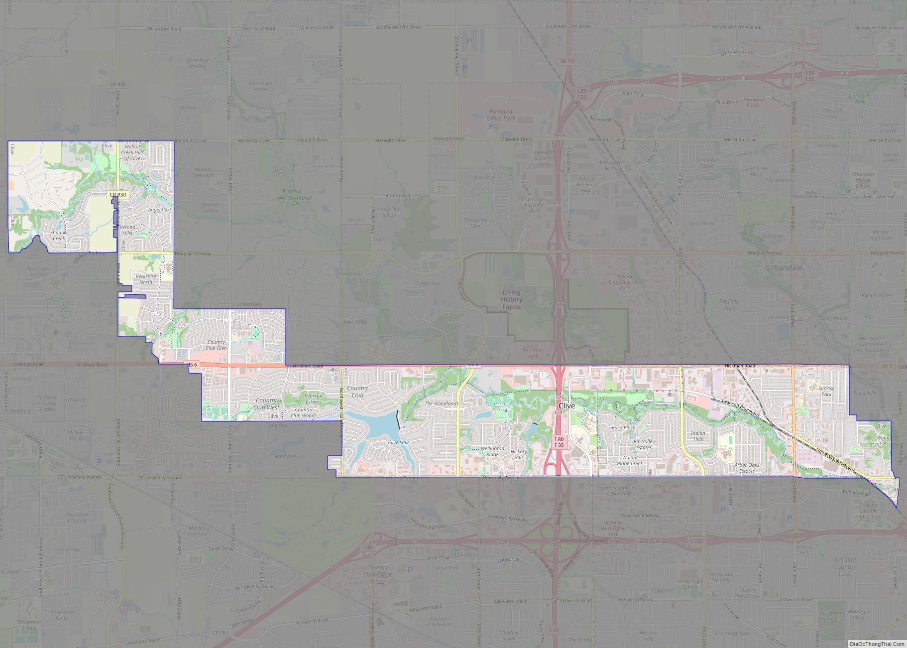
Clive is a city in Dallas and Polk counties in the U.S. state of Iowa. As of the 2020 Census, the population was 18,601. It is part of the Des Moines–West Des Moines Metropolitan Statistical Area. Clive is known for its Greenbelt Park and trail system running through the community. Clive serves as the axis ... Read more
Iowa Cities and Places
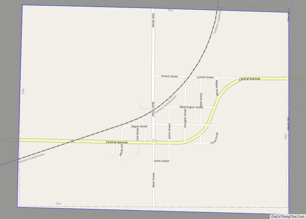
Clio is a city in Wayne County, Iowa, United States. The population was 67 at the 2020 census. Clio city overview: Name: Clio city LSAD Code: 25 LSAD Description: city (suffix) State: Iowa County: Wayne County Elevation: 1,112 ft (339 m) Total Area: 0.75 sq mi (1.93 km²) Land Area: 0.75 sq mi (1.93 km²) Water Area: 0.00 sq mi (0.00 km²) Total Population: 67 Population ... Read more
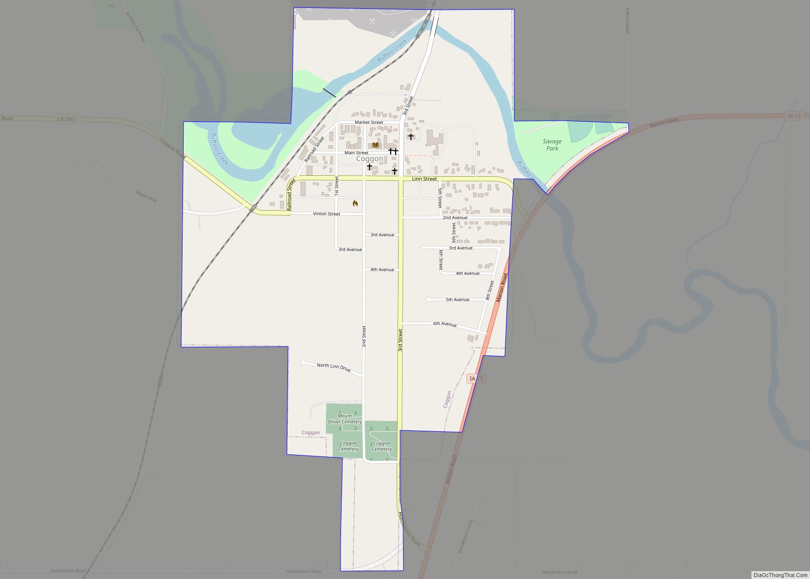
Coggon is a city in Linn County, Iowa, United States. The population was 701 at the time of the 2020 census. It is part of the Cedar Rapids Metropolitan Statistical Area. Coggon city overview: Name: Coggon city LSAD Code: 25 LSAD Description: city (suffix) State: Iowa County: Linn County Elevation: 932 ft (284 m) Total Area: 0.67 sq mi ... Read more
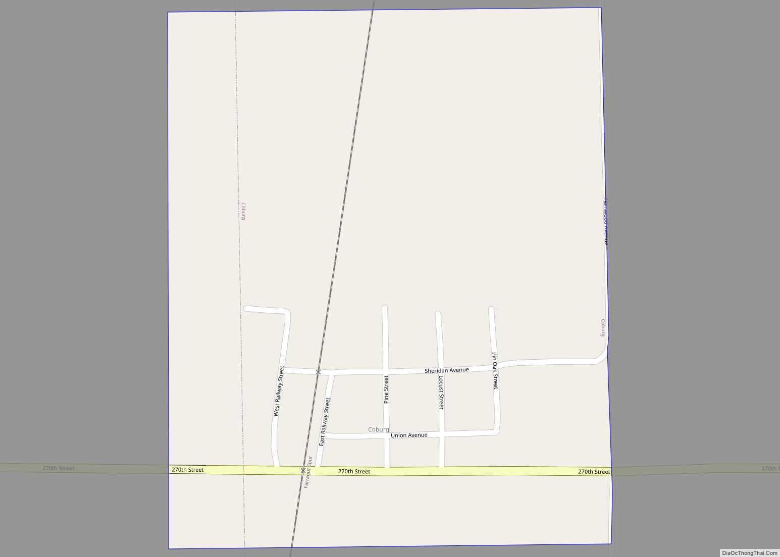
Coburg is a city in Montgomery County, Iowa, United States. The population was 26 at the 2020 census. Coburg city overview: Name: Coburg city LSAD Code: 25 LSAD Description: city (suffix) State: Iowa County: Montgomery County Elevation: 1,007 ft (307 m) Total Area: 0.29 sq mi (0.75 km²) Land Area: 0.29 sq mi (0.75 km²) Water Area: 0.00 sq mi (0.00 km²) Total Population: 26 Population ... Read more
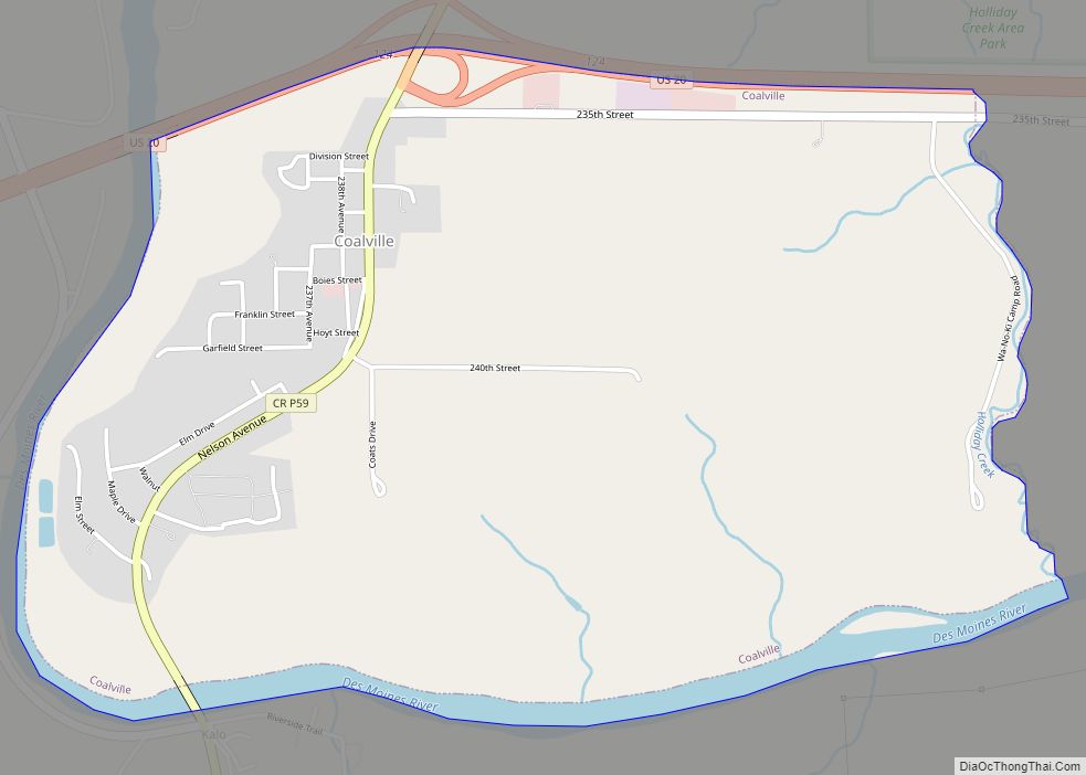
Coalville is a census-designated place (CDP) in Webster County, Iowa, United States. The population was 610 at the 2010 census. The community is located on U.S. Route 20 near Fort Dodge’s large gypsum mines. Coalville CDP overview: Name: Coalville CDP LSAD Code: 57 LSAD Description: CDP (suffix) State: Iowa County: Webster County Elevation: 1,115 ft (340 m) ... Read more
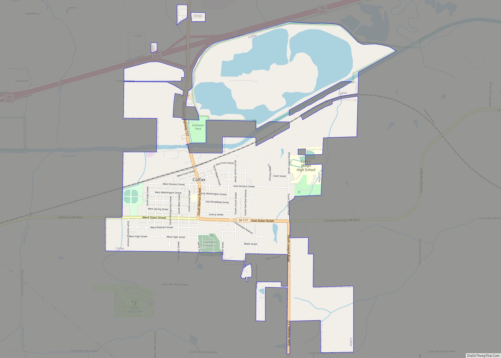
Colfax is a city in Jasper County, Iowa, United States. Colfax is located approximately 24 miles east of Des Moines. The town was founded in 1866, and was named after Schuyler Colfax, vice president under Ulysses S. Grant. The population was 2,255 at the time of the 2020 census. Newton is the county seat; both ... Read more
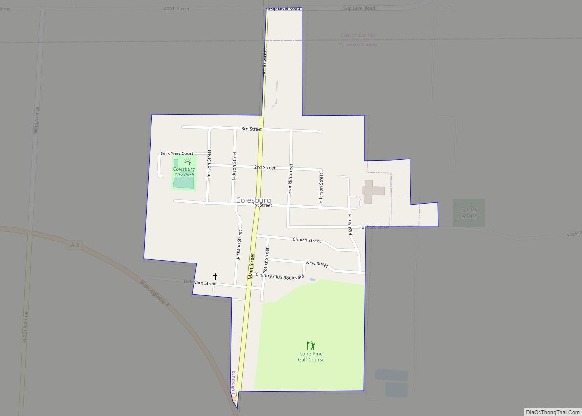
Colesburg is a city in Delaware County, Iowa, United States. The population was 386 at the time of the 2020 census. Colesburg city overview: Name: Colesburg city LSAD Code: 25 LSAD Description: city (suffix) State: Iowa County: Delaware County Elevation: 1,155 ft (352 m) Total Area: 0.29 sq mi (0.76 km²) Land Area: 0.29 sq mi (0.76 km²) Water Area: 0.00 sq mi (0.00 km²) Total ... Read more
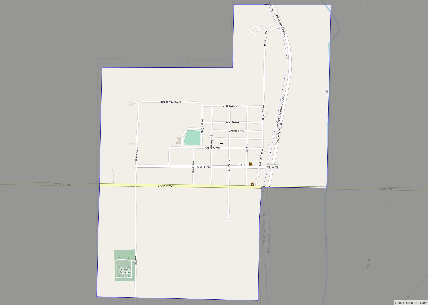
Coin is a city in Page County, Iowa, United States. The population was 176 at the time of the 2020 census. The Wabash Trace—a railroad converted to a bicycle trail—passes through here. It is also the hometown of running coach and fitness writer Joe Henderson. Coin city overview: Name: Coin city LSAD Code: 25 LSAD ... Read more
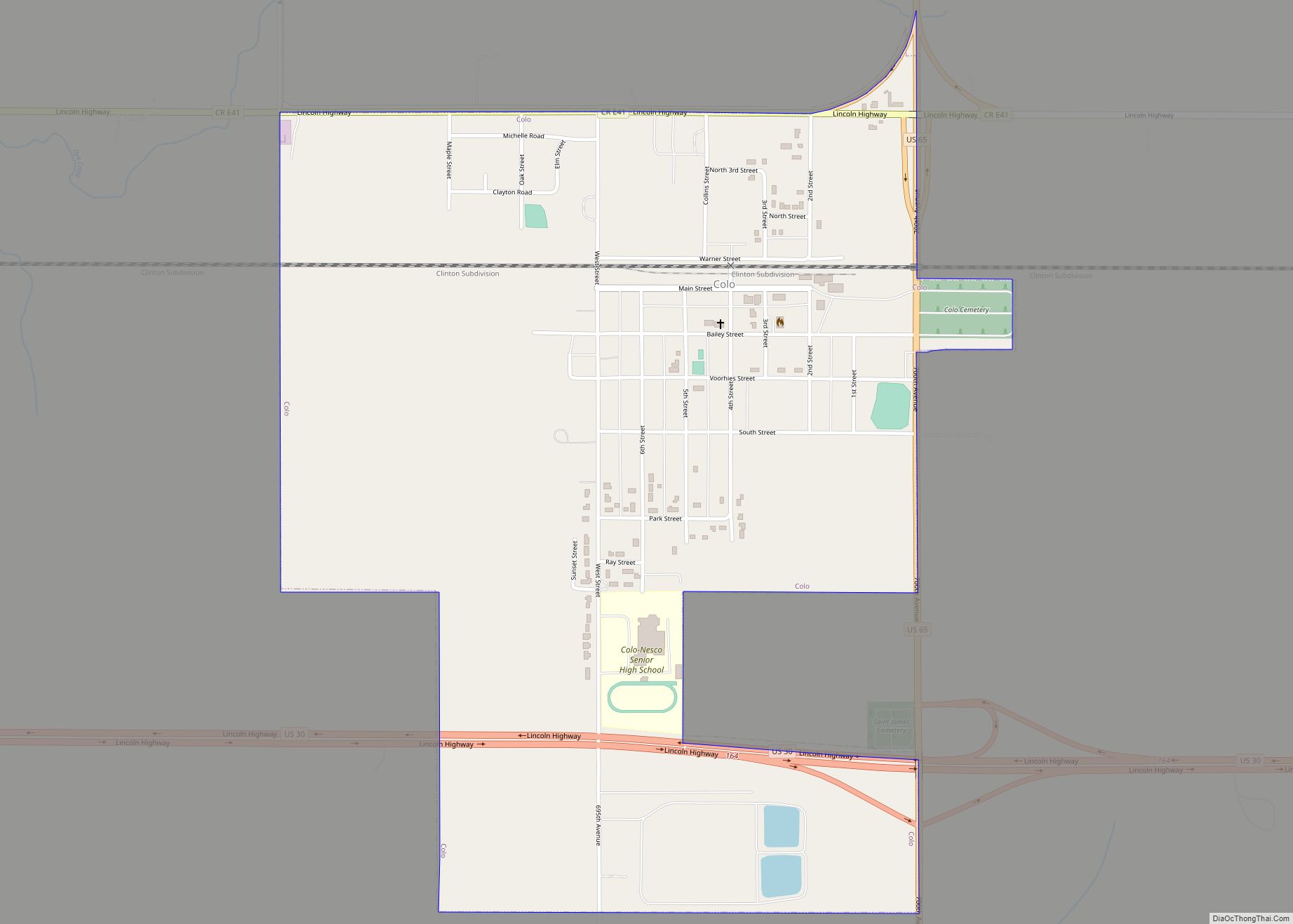
Colo is a city in Story County, Iowa, United States. The population was 845 at the 2020 census. It is part of the Ames, Iowa Metropolitan Statistical Area, which is a part of the larger Ames-Boone, Iowa Combined Statistical Area. Colo city overview: Name: Colo city LSAD Code: 25 LSAD Description: city (suffix) State: Iowa ... Read more
Collins is a city in Story County, Iowa, United States. The population was 495 at the 2020 census. It is part of the Ames, Iowa Metropolitan Statistical Area, which is a part of the larger Ames-Boone, Iowa Combined Statistical Area. Collins city overview: Name: Collins city LSAD Code: 25 LSAD Description: city (suffix) State: Iowa ... Read more
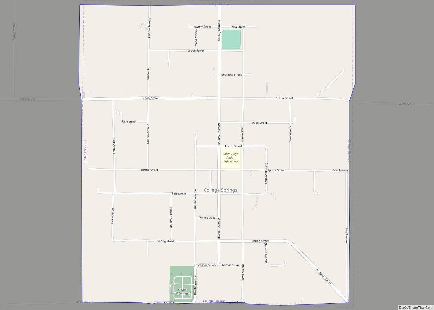
College Springs is a city in Page County, Iowa, United States. The population was 172 at the 2020 census. College Springs city overview: Name: College Springs city LSAD Code: 25 LSAD Description: city (suffix) State: Iowa County: Page County Elevation: 1,152 ft (351 m) Total Area: 1.12 sq mi (2.90 km²) Land Area: 1.12 sq mi (2.90 km²) Water Area: 0.00 sq mi (0.00 km²) Total ... Read more
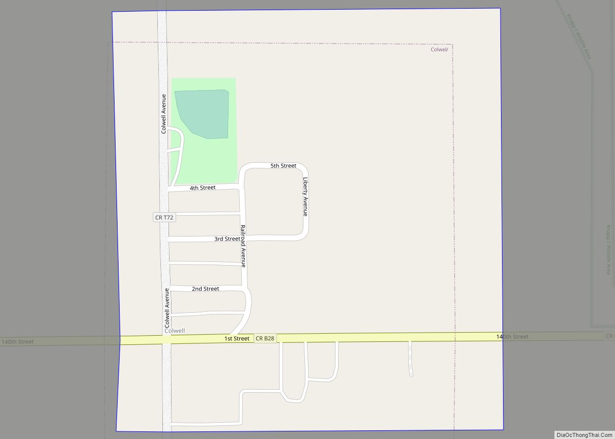
Colwell is a city in Floyd County, Iowa. The population was 55 at the time of the 2020 census. Colwell city overview: Name: Colwell city LSAD Code: 25 LSAD Description: city (suffix) State: Iowa County: Floyd County Elevation: 1,152 ft (351 m) Total Area: 0.17 sq mi (0.43 km²) Land Area: 0.17 sq mi (0.43 km²) Water Area: 0.00 sq mi (0.00 km²) Total Population: 55 ... Read more
