Dayton is a city in Webster County, Iowa, United States. The population was 772 at the time of the 2020 census. Dayton city overview: Name: Dayton city LSAD Code: 25 LSAD Description: city (suffix) State: Iowa County: Webster County Elevation: 1,122 ft (342 m) Total Area: 0.85 sq mi (2.21 km²) Land Area: 0.85 sq mi (2.21 km²) Water Area: 0.00 sq mi (0.00 km²) Total ... Read more
Iowa Cities and Places
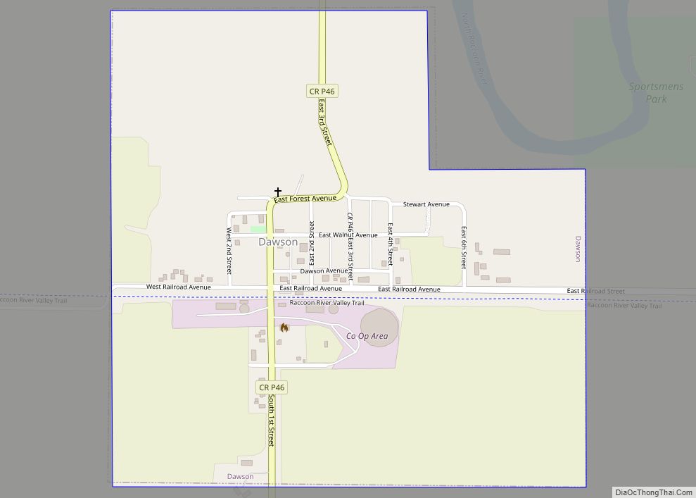
Dawson is a city in Dallas County, Iowa, United States. The population was 116 at the time of the 2020 census. It is part of the Des Moines–West Des Moines Metropolitan Statistical Area. Dawson city overview: Name: Dawson city LSAD Code: 25 LSAD Description: city (suffix) State: Iowa County: Dallas County Elevation: 1,037 ft (316 m) Total ... Read more
Dedham is a city in Carroll County, Iowa, United States. The population was 224 at the time of the 2020 census. Dedham city overview: Name: Dedham city LSAD Code: 25 LSAD Description: city (suffix) State: Iowa County: Carroll County Elevation: 1,332 ft (406 m) Total Area: 0.55 sq mi (1.43 km²) Land Area: 0.55 sq mi (1.43 km²) Water Area: 0.00 sq mi (0.00 km²) Total ... Read more
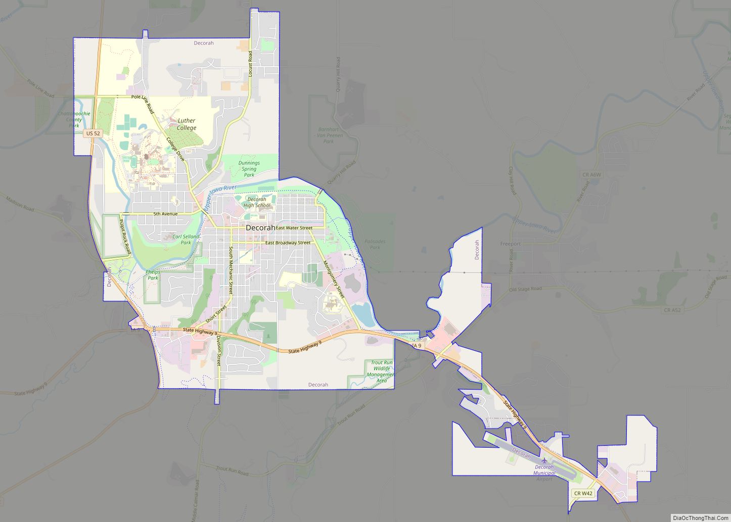
Decorah is a city in and the county seat of Winneshiek County, Iowa, United States. The population was 7,587 at the time of the 2020 census. Decorah is located at the intersection of State Highway 9 and U.S. Route 52, and is the largest community in Winneshiek County. Decorah city overview: Name: Decorah city LSAD ... Read more
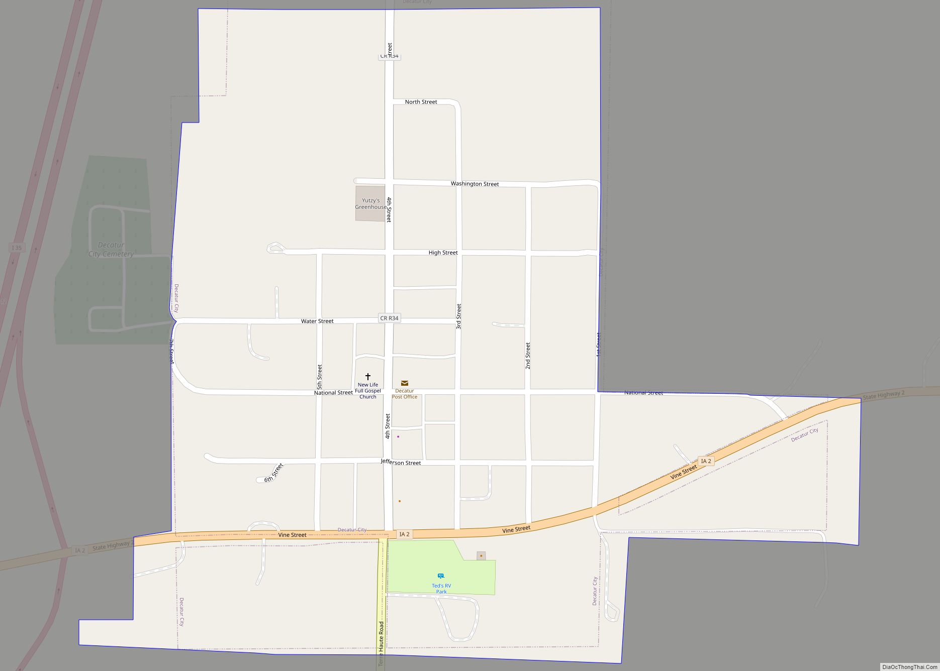
Decatur City is a city in Decatur County, Iowa, United States. The population was 175 at the time of the 2020 census. Decatur City city overview: Name: Decatur City city LSAD Code: 25 LSAD Description: city (suffix) State: Iowa County: Decatur County Elevation: 1,145 ft (349 m) Total Area: 0.38 sq mi (0.99 km²) Land Area: 0.38 sq mi (0.98 km²) Water Area: ... Read more
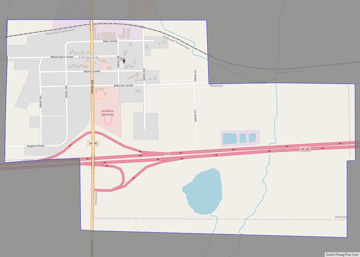
Delaware is a city in Delaware County, Iowa, United States. The population was 142 at the time of the 2020 census. Delaware city overview: Name: Delaware city LSAD Code: 25 LSAD Description: city (suffix) State: Iowa County: Delaware County Elevation: 1,079 ft (329 m) Total Area: 0.74 sq mi (1.92 km²) Land Area: 0.73 sq mi (1.89 km²) Water Area: 0.01 sq mi (0.03 km²) Total ... Read more
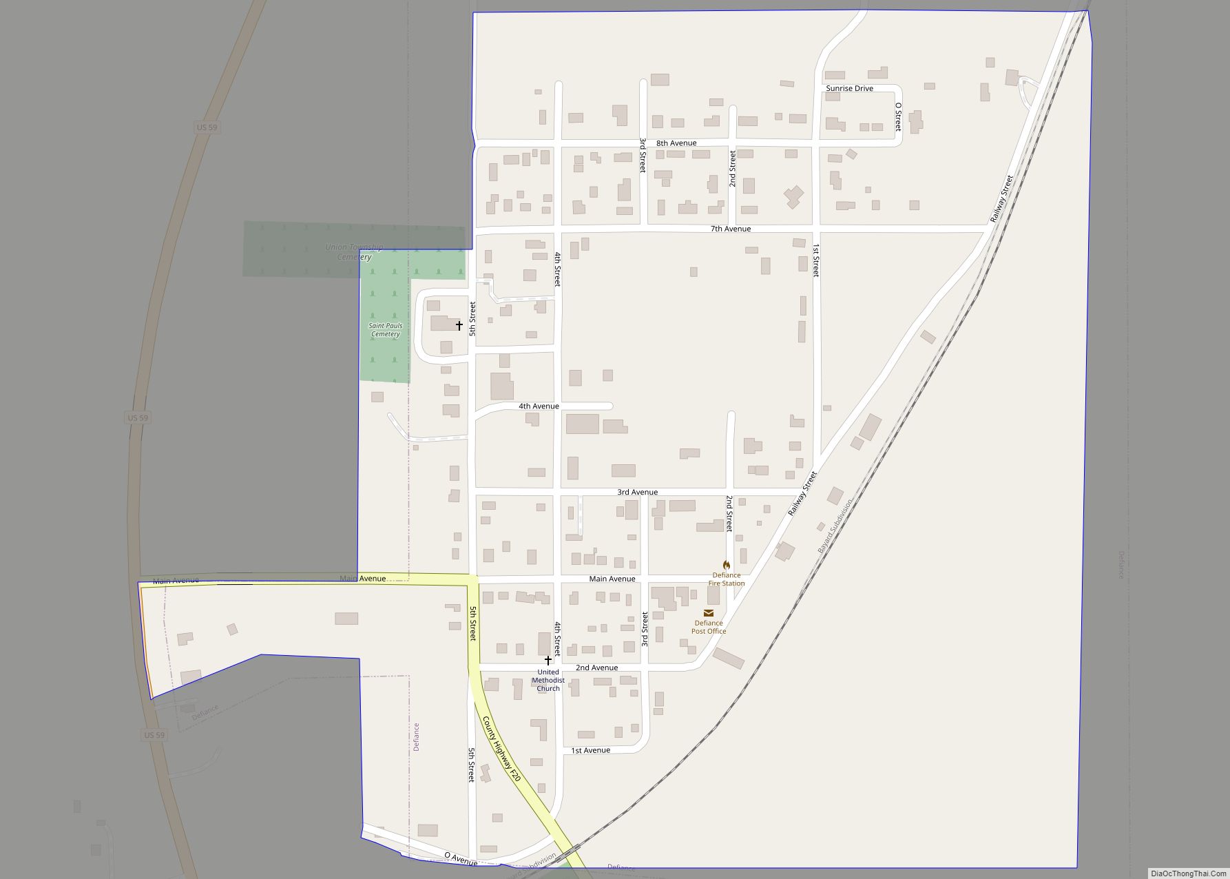
Defiance is a city in Shelby County, Iowa, United States, along the West Branch of the West Nishnabotna River. The population was 245 at the time of the 2020 census. Defiance city overview: Name: Defiance city LSAD Code: 25 LSAD Description: city (suffix) State: Iowa County: Shelby County Elevation: 1,276 ft (389 m) Total Area: 0.41 sq mi (1.05 km²) ... Read more
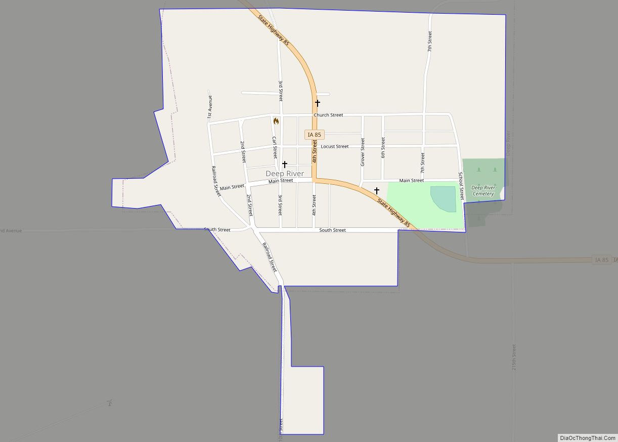
Deep River is a city in Poweshiek County, Iowa, United States. It is also the name of the township which includes the city. The city population was 249 at the time of the 2020 census. Deep River city overview: Name: Deep River city LSAD Code: 25 LSAD Description: city (suffix) State: Iowa County: Poweshiek County ... Read more
Deloit is a city in Crawford County, Iowa, along the Boyer River. The population was 250 at the time of the 2020 census. Deloit city overview: Name: Deloit city LSAD Code: 25 LSAD Description: city (suffix) State: Iowa County: Crawford County Elevation: 1,270 ft (387 m) Total Area: 0.41 sq mi (1.05 km²) Land Area: 0.41 sq mi (1.05 km²) Water Area: 0.00 sq mi ... Read more
Delmar is a city in Clinton County, Iowa, United States. The population was 542 at the time of the 2020 census. Delmar city overview: Name: Delmar city LSAD Code: 25 LSAD Description: city (suffix) State: Iowa County: Clinton County Elevation: 820 ft (250 m) Total Area: 0.76 sq mi (1.98 km²) Land Area: 0.76 sq mi (1.98 km²) Water Area: 0.00 sq mi (0.00 km²) Total ... Read more
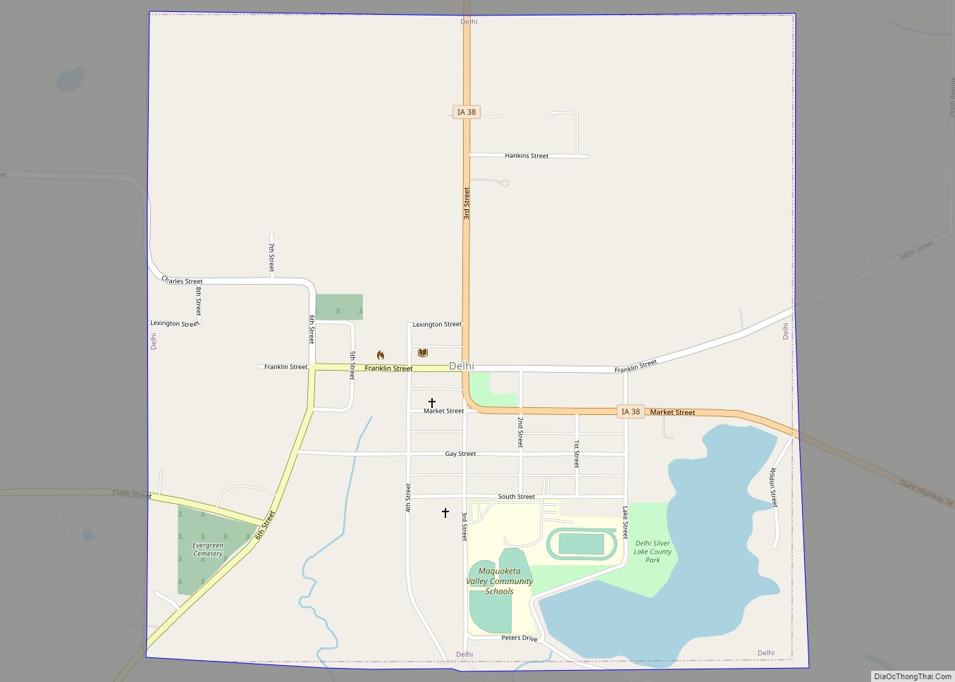
Delhi /ˈdɛlhaɪ/ DEL-hy is a city in Delaware County, Iowa, United States. The population was 420 at the time of the 2020 census. Delhi city overview: Name: Delhi city LSAD Code: 25 LSAD Description: city (suffix) State: Iowa County: Delaware County Elevation: 1,030 ft (314 m) Total Area: 1.00 sq mi (2.59 km²) Land Area: 0.95 sq mi (2.46 km²) Water Area: 0.05 sq mi ... Read more
Denison is a city in Crawford County, Iowa, United States, along the Boyer River, and located in both Denison Township and East Boyer Township. The population was 8,373 at the time of the 2020 census. It is the county seat of Crawford County. Denison city overview: Name: Denison city LSAD Code: 25 LSAD Description: city ... Read more

