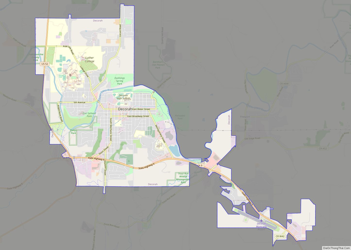
Decorah is a city in and the county seat of Winneshiek County, Iowa, United States. The population was 7,587 at the time of the 2020 census. Decorah is located at the intersection of State Highway 9 and U.S. Route 52, and is the largest community in Winneshiek County.
| Name: | Decorah city |
|---|---|
| LSAD Code: | 25 |
| LSAD Description: | city (suffix) |
| State: | Iowa |
| County: | Winneshiek County |
| Elevation: | 879 ft (268 m) |
| Total Area: | 7.26 sq mi (18.80 km²) |
| Land Area: | 7.21 sq mi (18.68 km²) |
| Water Area: | 0.04 sq mi (0.11 km²) |
| Total Population: | 7,587 |
| Population Density: | 1,051.71/sq mi (406.08/km²) |
| ZIP code: | 52101 |
| Area code: | 563 |
| FIPS code: | 1919405 |
| GNISfeature ID: | 0455839 |
| Website: | www.decorahia.org |
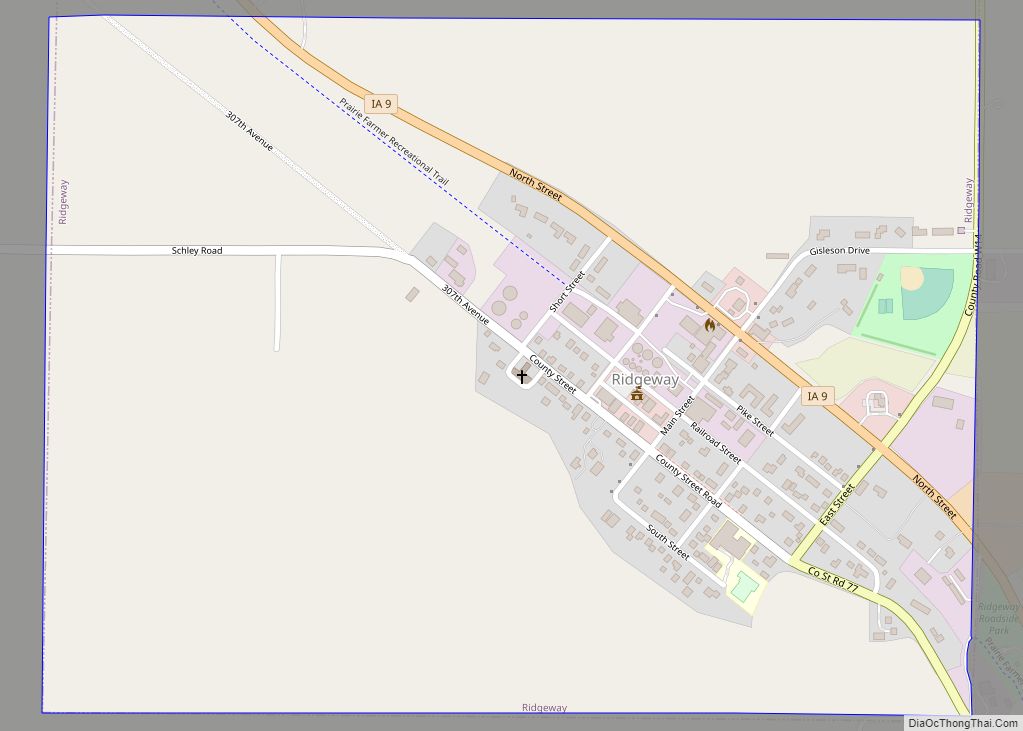
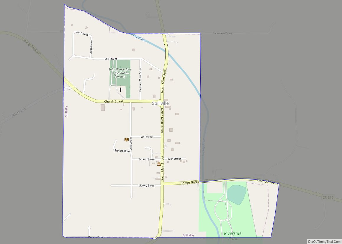
Online Interactive Map
Click on ![]() to view map in "full screen" mode.
to view map in "full screen" mode.
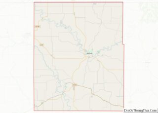
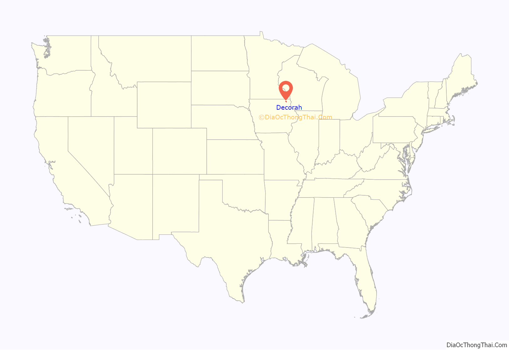
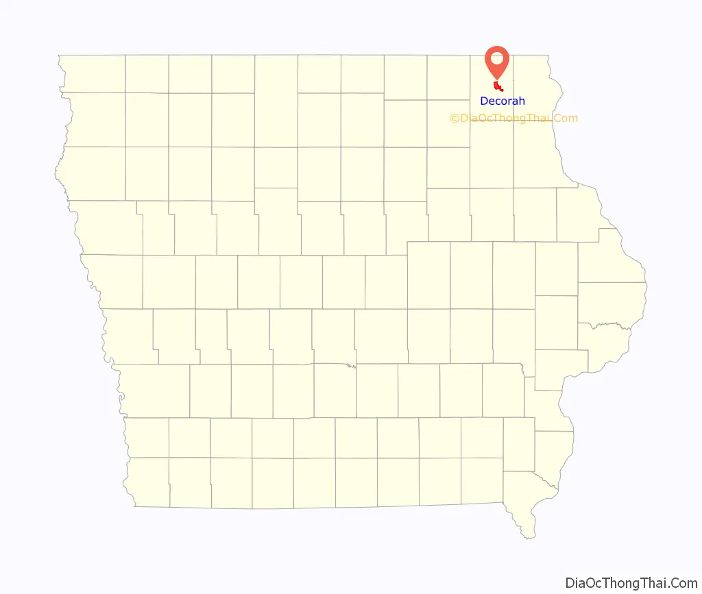
Decorah location map. Where is Decorah city?
History
Decorah was the site of a Ho-Chunk village beginning circa 1840. Several Ho-Chunks had settled along the Upper Iowa River that year when the U.S. Army forced them to remove from Wisconsin. In 1848, the United States removed the Ho-Chunks again to a new reservation in Minnesota, opening their Iowa villages to white settlers.
The first European-Americans to settle were the Day family from Tazewell County, Virginia. According to local Congregationalist minister Rev. Ephraim Adams, the Days arrived in June 1849 with the Ho-Chunks’ “tents still standing—with the graves of the dead scattered about where now run our streets and stand our dwellings.” Judge Eliphalet Price suggested that the Days name their new settlement Decorah after Ho-Chunk leader Waukon Decorah, who was a U.S. ally during the Black Hawk War of 1832.
During the 1850s and 1860s, Decorah grew quickly as settlers built dams and mills to harness water power at Dunning’s Spring and other local streams. In 1851, the town became the county seat of Winneshiek County. Decorah also became the site of a U.S. Land Office from 1855 to 1856, making it a destination for immigrants seeking land patents in northern Iowa. The Milwaukee and St. Paul Railroad opened a branch to Decorah in 1869.
Decorah has become a center for Norwegian-American culture originating from a high number of Norwegian settlements beginning in the 1850s. Since 1861 it has been the home of Luther College, a liberal arts institution affiliated with the Evangelical Lutheran Church in America. Each July Decorah is also the host of Nordic Fest, a celebration of Norwegian culture with ethnic dancing, food, and music. Decorah is also the home of the Vesterheim Norwegian-American Museum, the largest museum in the country devoted to one single immigrant group. Until 1972, one of the largest Norwegian language newspapers in the nation was published in Decorah, the Decorah Posten.
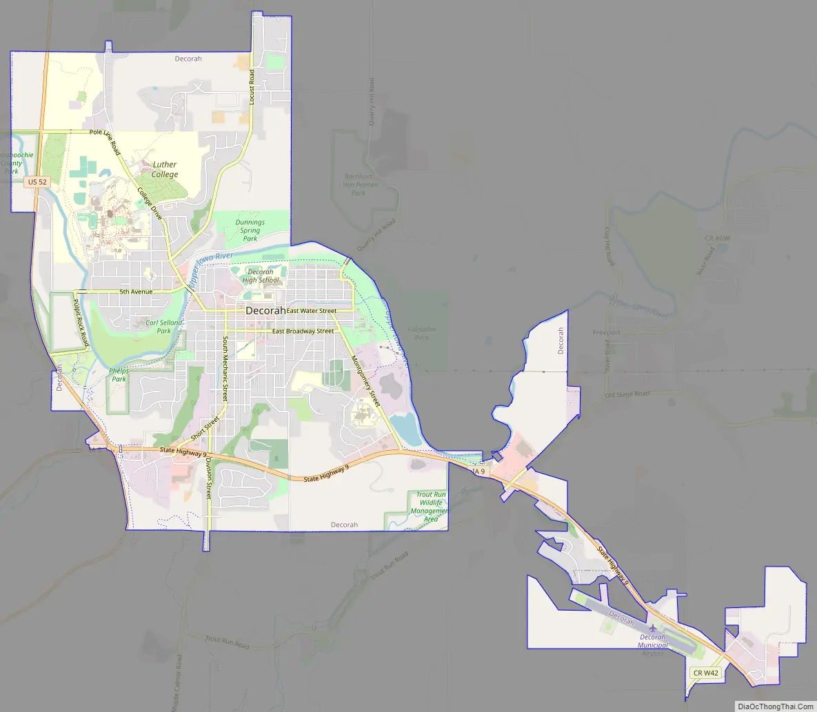
Decorah Road Map
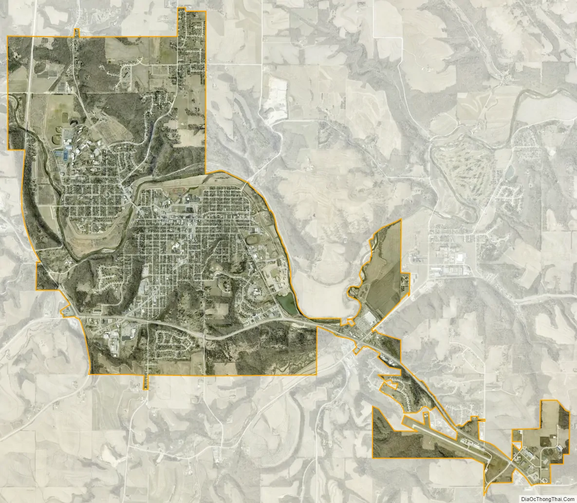
Decorah city Satellite Map
Geography
Decorah is located at 43°18′06″N 91°47′25″W / 43.30167°N 91.79028°W / 43.30167; -91.79028 (43.301795, -91.790218), approximately 15 miles (24 km) south of the Minnesota-Iowa border. It is the northernmost major community located along U.S. Route 52 in Iowa. According to the United States Census Bureau, the city has a total area of 7.04 square miles (18.23 km), of which 7.01 square miles (18.16 km) is land and 0.03 square miles (0.08 km) is water. The Upper Iowa River flows through the city en route to the Upper Mississippi River. The river is faced by steep bluffs, characteristic of the Driftless Area.
Impact crater
About 470 million years ago, a meteorite as big as a city block smashed into what is now Decorah, supporting a theory that a giant space rock broke up and bombarded Earth just as early life began flourishing in the oceans.
The impact dug a crater nearly four miles wide that now lies beneath the town, said Bevan French, one of the world’s foremost crater hunters and an adjunct scientist at the National Museum of Natural History.
The Decorah crater lay undiscovered until recently because almost none of it is above ground. Instead, it is filled by an unusual shale that formed after an ancient seaway sluiced into the crater, depositing sediment and an array of bizarre sea creatures that hardened into fossils. One such creature is Pentecopterus decorahensis, which was named for the city.
Climate
See also
Map of Iowa State and its subdivision:- Adair
- Adams
- Allamakee
- Appanoose
- Audubon
- Benton
- Black Hawk
- Boone
- Bremer
- Buchanan
- Buena Vista
- Butler
- Calhoun
- Carroll
- Cass
- Cedar
- Cerro Gordo
- Cherokee
- Chickasaw
- Clarke
- Clay
- Clayton
- Clinton
- Crawford
- Dallas
- Davis
- Decatur
- Delaware
- Des Moines
- Dickinson
- Dubuque
- Emmet
- Fayette
- Floyd
- Franklin
- Fremont
- Greene
- Grundy
- Guthrie
- Hamilton
- Hancock
- Hardin
- Harrison
- Henry
- Howard
- Humboldt
- Ida
- Iowa
- Jackson
- Jasper
- Jefferson
- Johnson
- Jones
- Keokuk
- Kossuth
- Lee
- Linn
- Louisa
- Lucas
- Lyon
- Madison
- Mahaska
- Marion
- Marshall
- Mills
- Mitchell
- Monona
- Monroe
- Montgomery
- Muscatine
- O'Brien
- Osceola
- Page
- Palo Alto
- Plymouth
- Pocahontas
- Polk
- Pottawattamie
- Poweshiek
- Ringgold
- Sac
- Scott
- Shelby
- Sioux
- Story
- Tama
- Taylor
- Union
- Van Buren
- Wapello
- Warren
- Washington
- Wayne
- Webster
- Winnebago
- Winneshiek
- Woodbury
- Worth
- Wright
- Alabama
- Alaska
- Arizona
- Arkansas
- California
- Colorado
- Connecticut
- Delaware
- District of Columbia
- Florida
- Georgia
- Hawaii
- Idaho
- Illinois
- Indiana
- Iowa
- Kansas
- Kentucky
- Louisiana
- Maine
- Maryland
- Massachusetts
- Michigan
- Minnesota
- Mississippi
- Missouri
- Montana
- Nebraska
- Nevada
- New Hampshire
- New Jersey
- New Mexico
- New York
- North Carolina
- North Dakota
- Ohio
- Oklahoma
- Oregon
- Pennsylvania
- Rhode Island
- South Carolina
- South Dakota
- Tennessee
- Texas
- Utah
- Vermont
- Virginia
- Washington
- West Virginia
- Wisconsin
- Wyoming