Delhi /ˈdɛlhaɪ/ DEL-hy is a city in Delaware County, Iowa, United States. The population was 420 at the time of the 2020 census.
| Name: | Delhi city |
|---|---|
| LSAD Code: | 25 |
| LSAD Description: | city (suffix) |
| State: | Iowa |
| County: | Delaware County |
| Elevation: | 1,030 ft (314 m) |
| Total Area: | 1.00 sq mi (2.59 km²) |
| Land Area: | 0.95 sq mi (2.46 km²) |
| Water Area: | 0.05 sq mi (0.14 km²) |
| Total Population: | 420 |
| Population Density: | 443.04/sq mi (171.02/km²) |
| ZIP code: | 52223 |
| Area code: | 563 |
| FIPS code: | 1919675 |
| GNISfeature ID: | 0455871 |
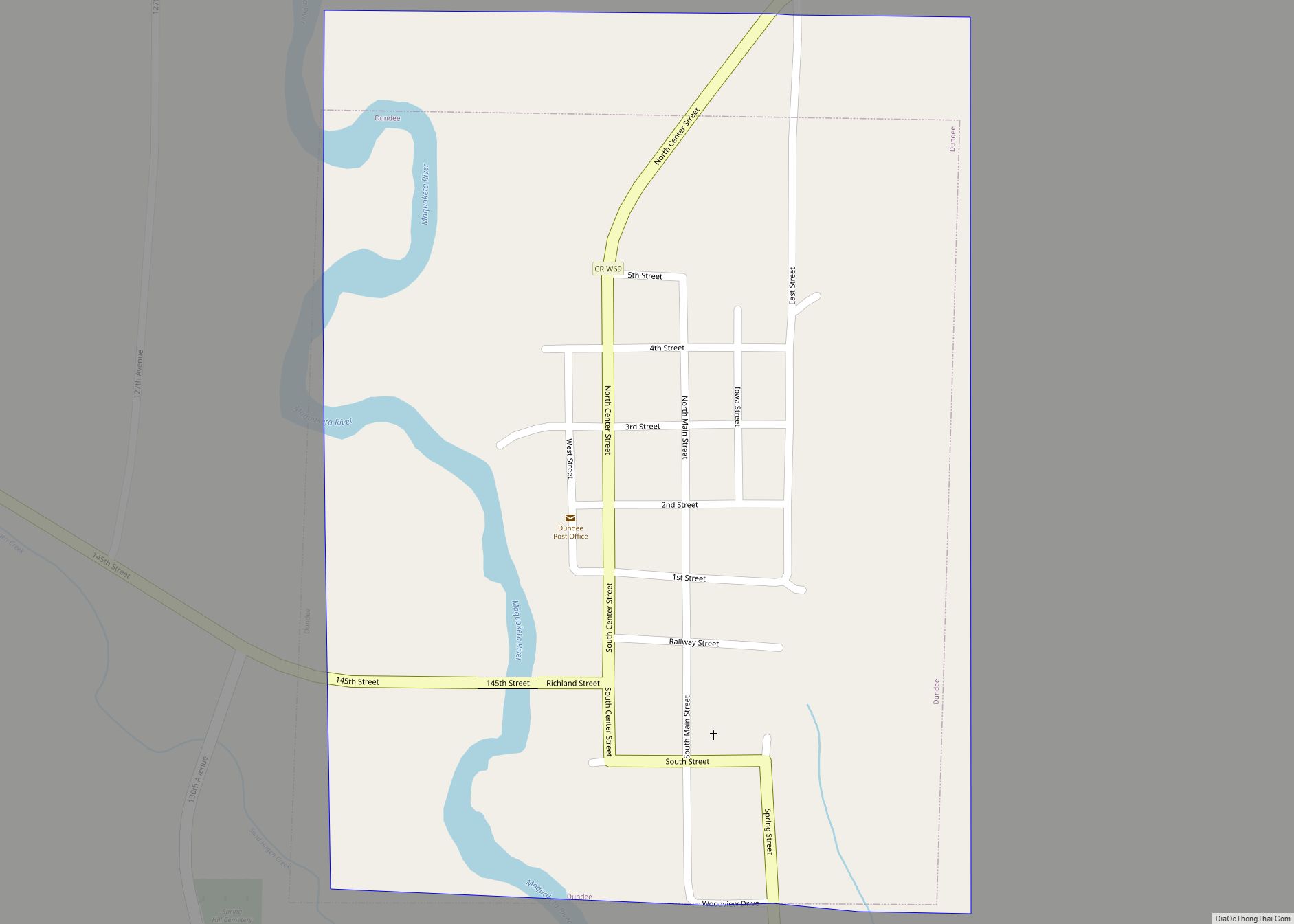
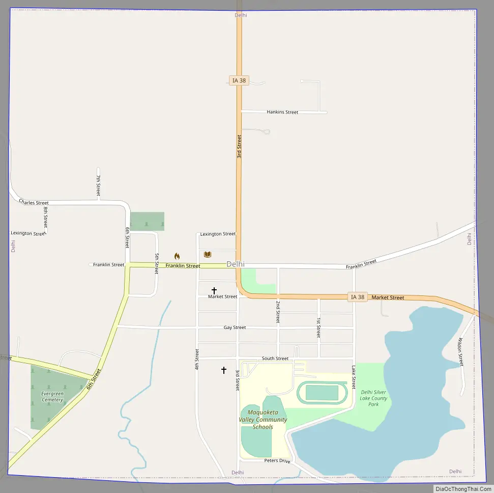
Online Interactive Map
Click on ![]() to view map in "full screen" mode.
to view map in "full screen" mode.
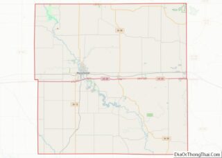
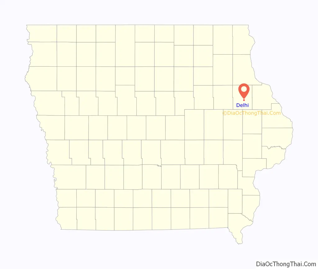
Delhi location map. Where is Delhi city?

History
Delhi was founded in the early 1840s. The county seat was once located there. Emma Swinburne, who married George C. Junkin, was from Delhi.
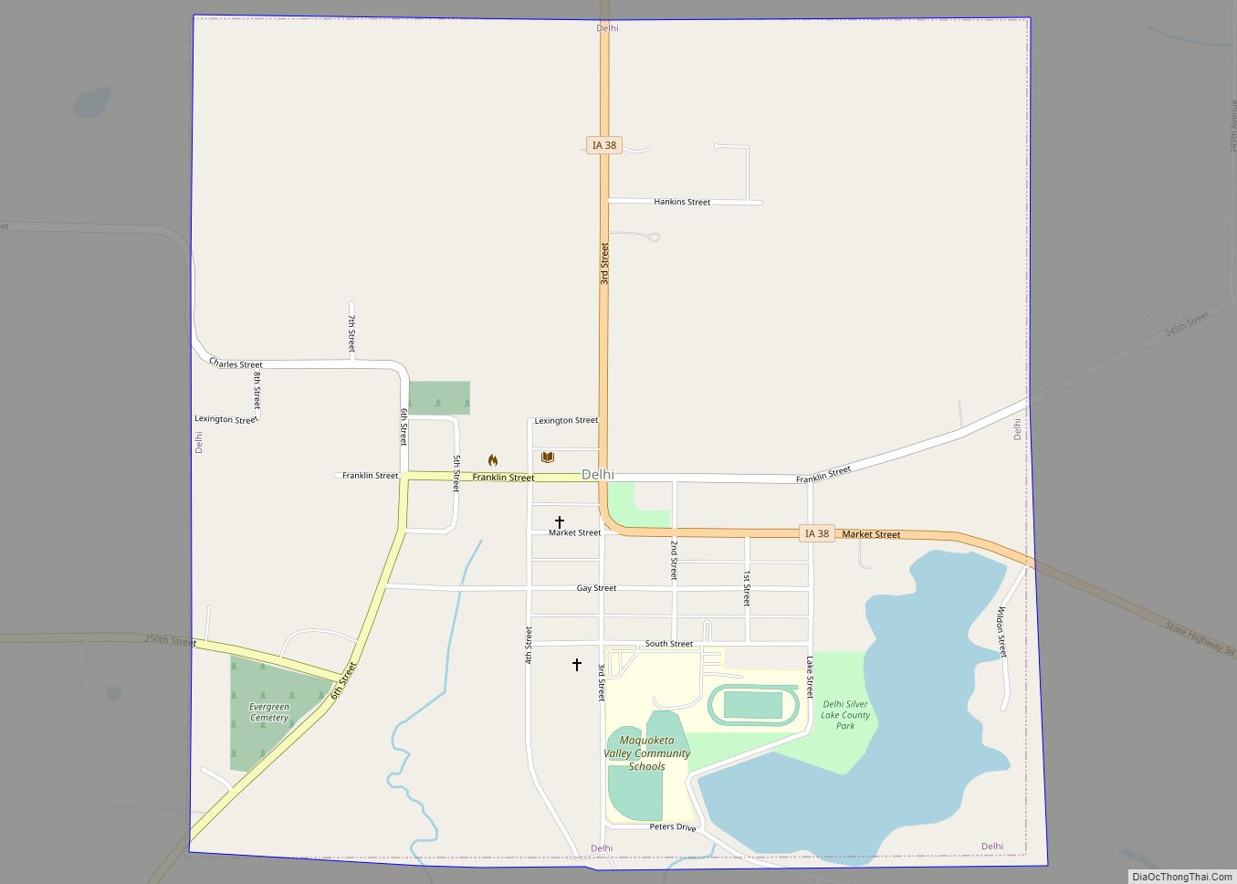
Delhi Road Map
Delhi city Satellite Map

Geography
Delhi is located at 42°25′41″N 91°19′48″W / 42.42806°N 91.33000°W / 42.42806; -91.33000 (42.428028, -91.329971) near the Maquoketa River. The Delhi Dam on the river in Delhi’s southwest created Hartwick Lake. A portion of the dam failed on July 24, 2010, flooding areas downstream.
According to the United States Census Bureau, the city has a total area of 1.02 square miles (2.64 km), of which 0.97 square miles (2.51 km) is land and 0.05 square miles (0.13 km) is water.
Delhi is located on State Highway 38.
See also
Map of Iowa State and its subdivision:- Adair
- Adams
- Allamakee
- Appanoose
- Audubon
- Benton
- Black Hawk
- Boone
- Bremer
- Buchanan
- Buena Vista
- Butler
- Calhoun
- Carroll
- Cass
- Cedar
- Cerro Gordo
- Cherokee
- Chickasaw
- Clarke
- Clay
- Clayton
- Clinton
- Crawford
- Dallas
- Davis
- Decatur
- Delaware
- Des Moines
- Dickinson
- Dubuque
- Emmet
- Fayette
- Floyd
- Franklin
- Fremont
- Greene
- Grundy
- Guthrie
- Hamilton
- Hancock
- Hardin
- Harrison
- Henry
- Howard
- Humboldt
- Ida
- Iowa
- Jackson
- Jasper
- Jefferson
- Johnson
- Jones
- Keokuk
- Kossuth
- Lee
- Linn
- Louisa
- Lucas
- Lyon
- Madison
- Mahaska
- Marion
- Marshall
- Mills
- Mitchell
- Monona
- Monroe
- Montgomery
- Muscatine
- O'Brien
- Osceola
- Page
- Palo Alto
- Plymouth
- Pocahontas
- Polk
- Pottawattamie
- Poweshiek
- Ringgold
- Sac
- Scott
- Shelby
- Sioux
- Story
- Tama
- Taylor
- Union
- Van Buren
- Wapello
- Warren
- Washington
- Wayne
- Webster
- Winnebago
- Winneshiek
- Woodbury
- Worth
- Wright
- Alabama
- Alaska
- Arizona
- Arkansas
- California
- Colorado
- Connecticut
- Delaware
- District of Columbia
- Florida
- Georgia
- Hawaii
- Idaho
- Illinois
- Indiana
- Iowa
- Kansas
- Kentucky
- Louisiana
- Maine
- Maryland
- Massachusetts
- Michigan
- Minnesota
- Mississippi
- Missouri
- Montana
- Nebraska
- Nevada
- New Hampshire
- New Jersey
- New Mexico
- New York
- North Carolina
- North Dakota
- Ohio
- Oklahoma
- Oregon
- Pennsylvania
- Rhode Island
- South Carolina
- South Dakota
- Tennessee
- Texas
- Utah
- Vermont
- Virginia
- Washington
- West Virginia
- Wisconsin
- Wyoming