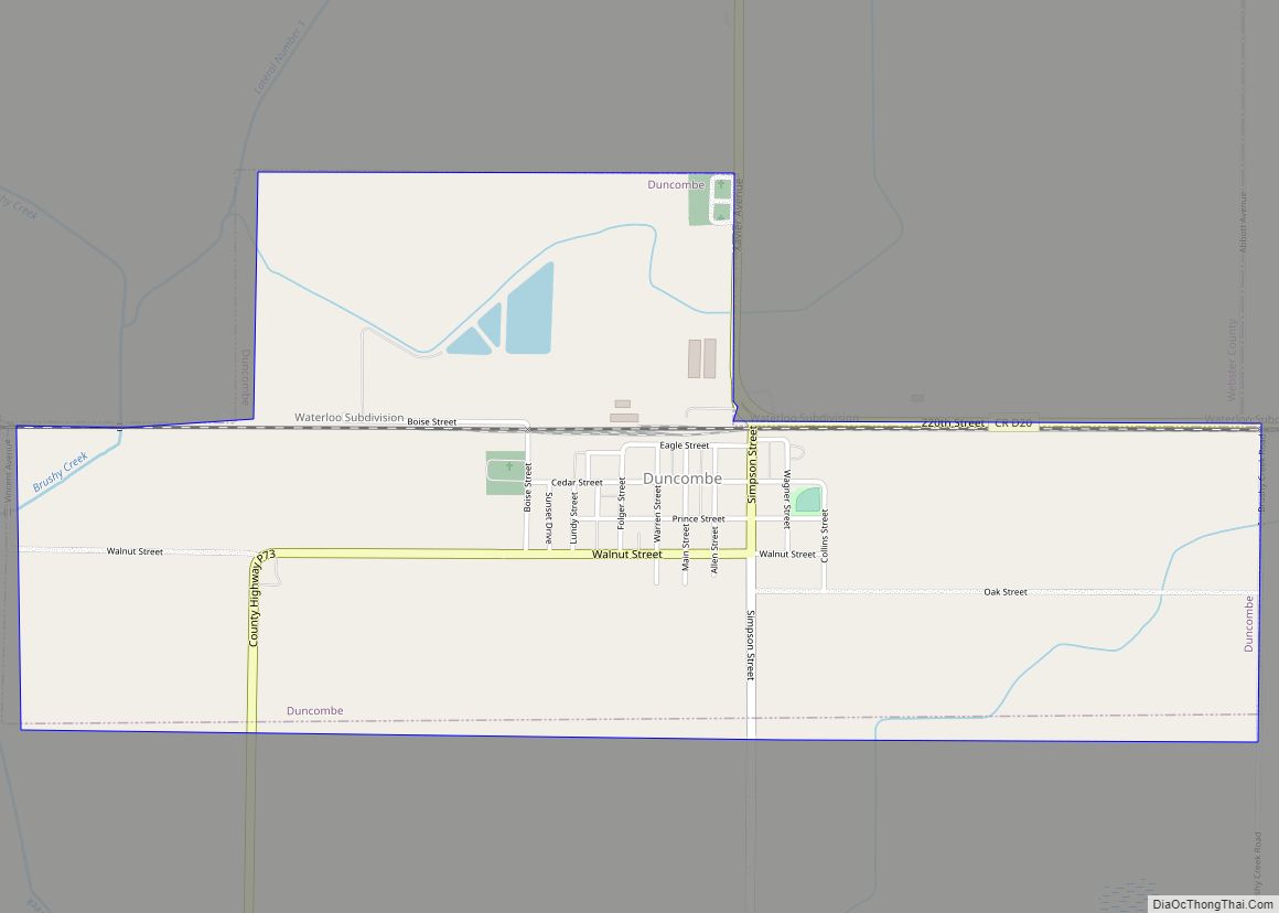
Duncombe is a city in Webster County, Iowa, United States. The population was 381 at the time of the 2020 census. Duncombe city overview: Name: Duncombe city LSAD Code: 25 LSAD Description: city (suffix) State: Iowa County: Webster County Elevation: 1,109 ft (338 m) Total Area: 1.96 sq mi (5.08 km²) Land Area: 1.96 sq mi (5.08 km²) Water Area: 0.00 sq mi (0.00 km²) Total ... Read more
Iowa Cities and Places
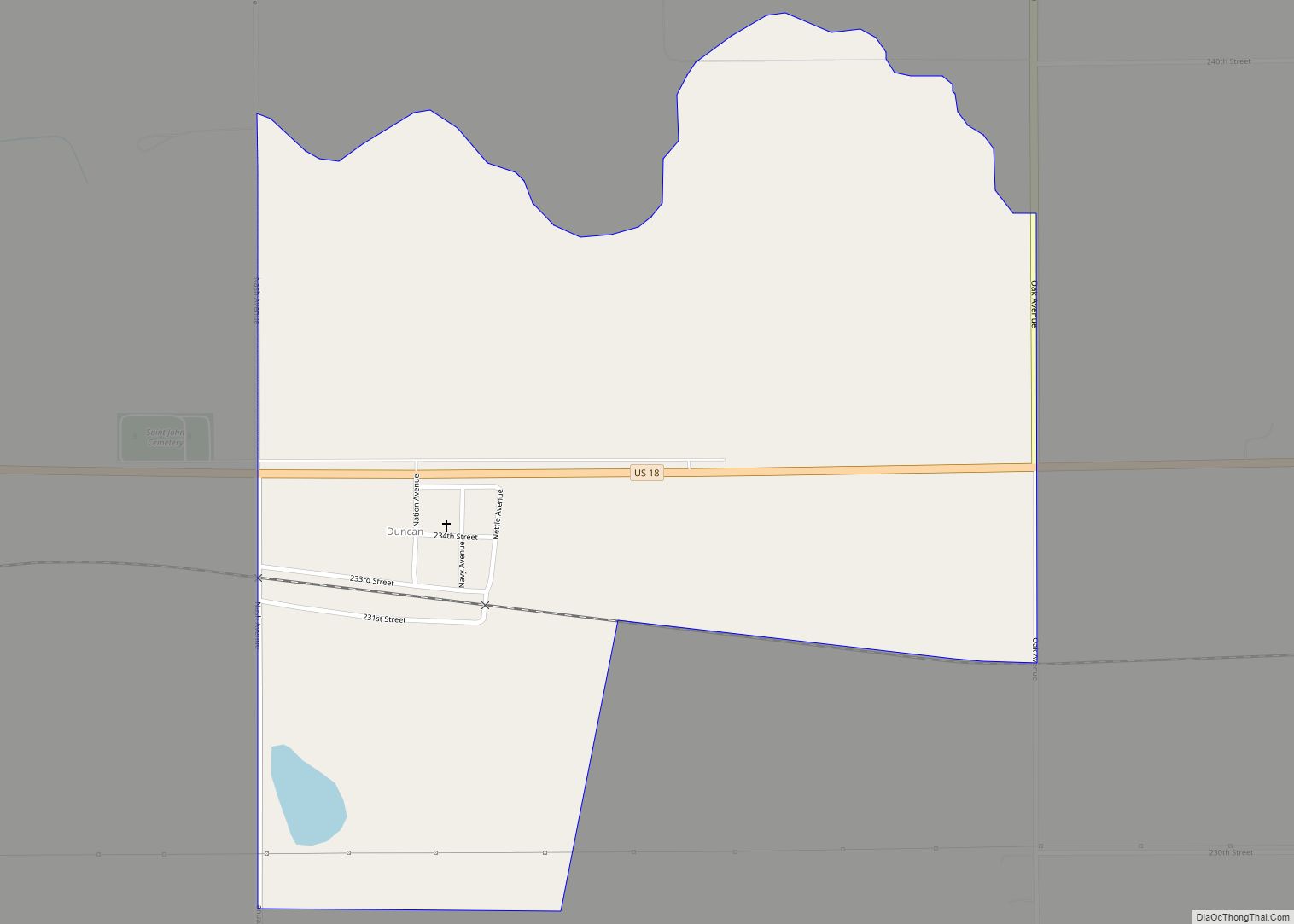
Duncan is a census-designated place (CDP) in Hancock County, Iowa, United States. The population was 131 at the 2010 census. Duncan CDP overview: Name: Duncan CDP LSAD Code: 57 LSAD Description: CDP (suffix) State: Iowa County: Hancock County Elevation: 1,237 ft (377 m) Total Area: 0.79 sq mi (2.05 km²) Land Area: 0.79 sq mi (2.03 km²) Water Area: 0.01 sq mi (0.02 km²) Total Population: ... Read more
Durango is a city in Dubuque County, Iowa, United States. It is part of the Dubuque, Iowa Metropolitan Statistical Area. The population was 20 at the time of the 2020 census, down from 24 in 2000. Durango city overview: Name: Durango city LSAD Code: 25 LSAD Description: city (suffix) State: Iowa County: Dubuque County Elevation: ... Read more
Dunlap is a city in Harrison and Crawford counties, Iowa, United States, along the Boyer River. The population was 1,038 at the time of the 2020 census. Dunlap city overview: Name: Dunlap city LSAD Code: 25 LSAD Description: city (suffix) State: Iowa County: Crawford County, Harrison County Elevation: 1,145 ft (349 m) Total Area: 1.28 sq mi (3.32 km²) Land ... Read more
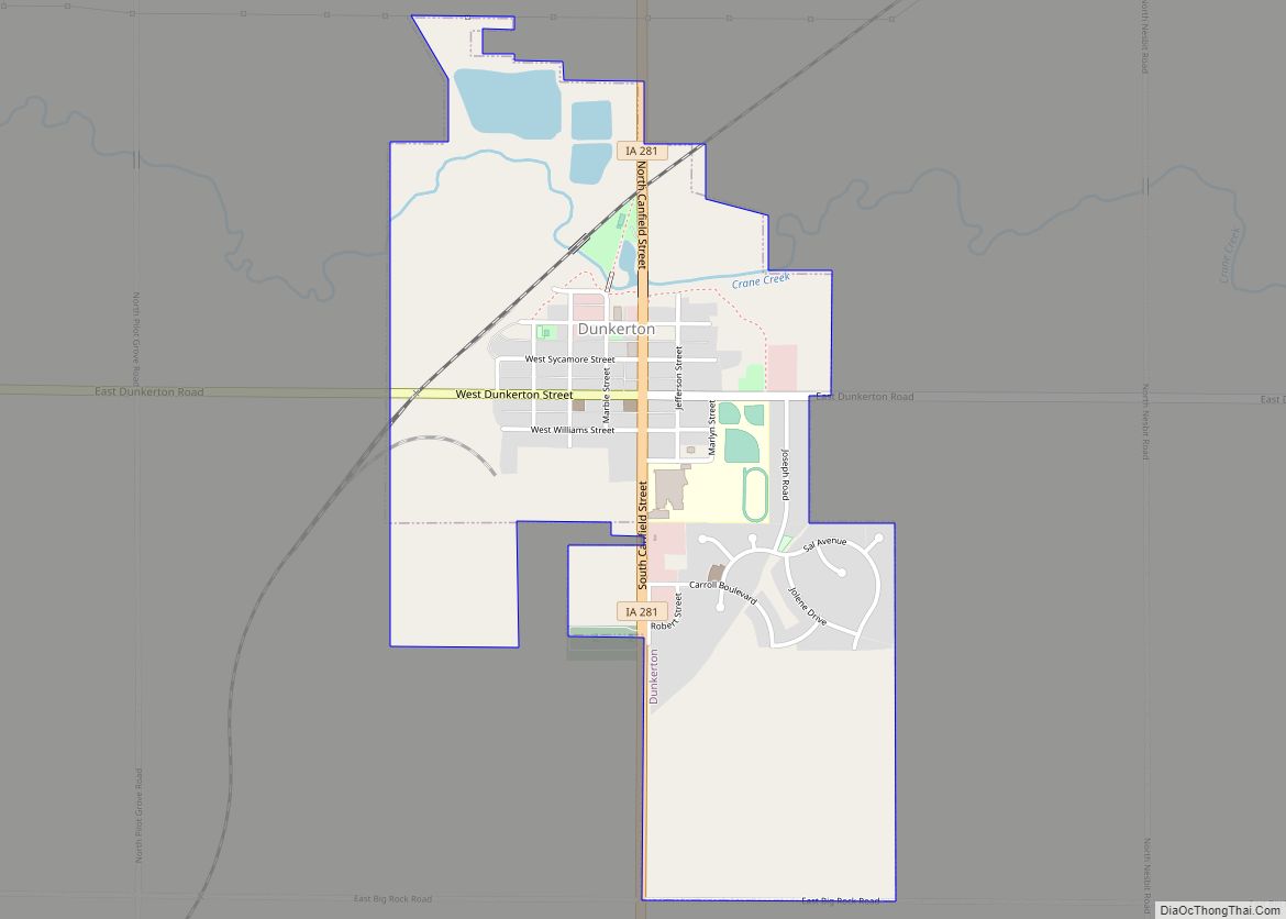
Dunkerton is a city in Black Hawk County, Iowa, United States. The population was 842 at the time of the 2020 census. It is part of the Waterloo–Cedar Falls Metropolitan Statistical Area. Dunkerton city overview: Name: Dunkerton city LSAD Code: 25 LSAD Description: city (suffix) State: Iowa County: Black Hawk County Elevation: 955 ft (291 m) Total ... Read more
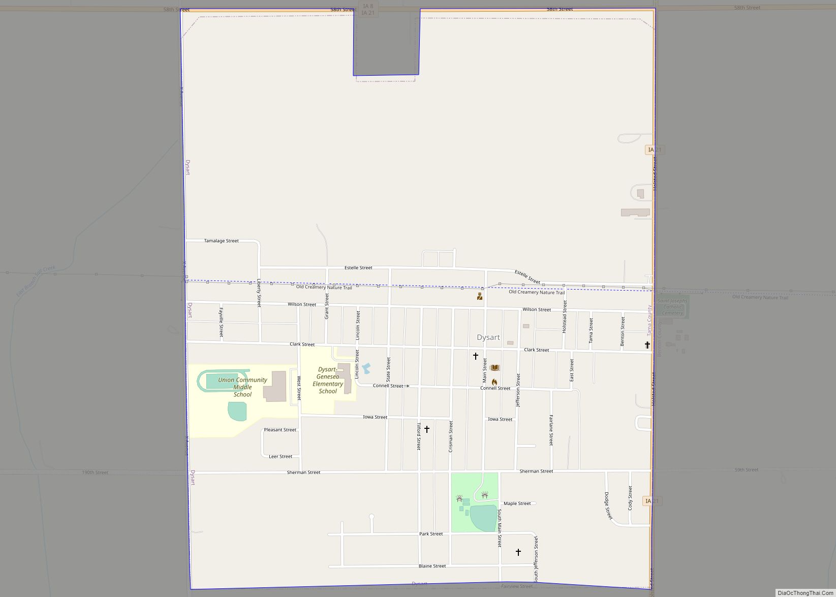
Dysart is a city in Tama County, Iowa, United States. The population was 1,281 at the 2020 census. The Mayor of Dysart is currently Tim Glenn. Dysart city overview: Name: Dysart city LSAD Code: 25 LSAD Description: city (suffix) State: Iowa County: Tama County Elevation: 971 ft (296 m) Total Area: 1.25 sq mi (3.24 km²) Land Area: 1.25 sq mi (3.24 km²) ... Read more
Dyersville is a city in eastern Delaware County and western Dubuque County in the U.S. state of Iowa. It is part of the Dubuque, Iowa, Metropolitan Statistical Area. The population was 4,477 at the time of the 2020 census, up from 4,035 in 2000. Dyersville city overview: Name: Dyersville city LSAD Code: 25 LSAD Description: ... Read more
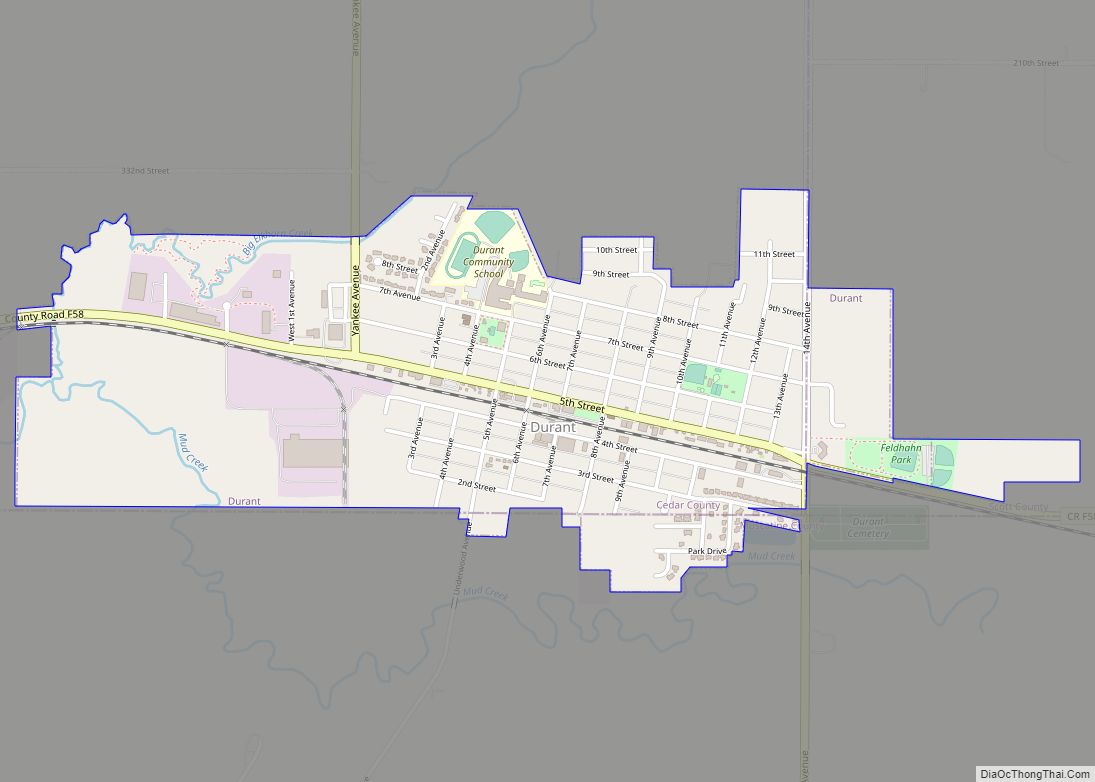
Durant is a city in Cedar, Muscatine, and Scott counties in the U.S. state of Iowa. The population was 1,871 at the time of the 2020 census. The Scott County portion of Durant is part of the Davenport–Moline–Rock Island, IA-IL Metropolitan Statistical Area, while the Muscatine County portion of the city is part of the ... Read more
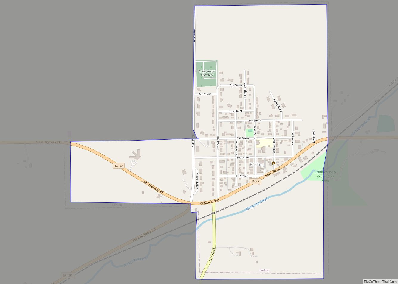
Earling is a city in Shelby County, Iowa, United States. The population was 397 at the time of the 2020 census. Earling city overview: Name: Earling city LSAD Code: 25 LSAD Description: city (suffix) State: Iowa County: Shelby County Elevation: 1,342 ft (409 m) Total Area: 0.63 sq mi (1.63 km²) Land Area: 0.63 sq mi (1.63 km²) Water Area: 0.00 sq mi (0.00 km²) Total ... Read more
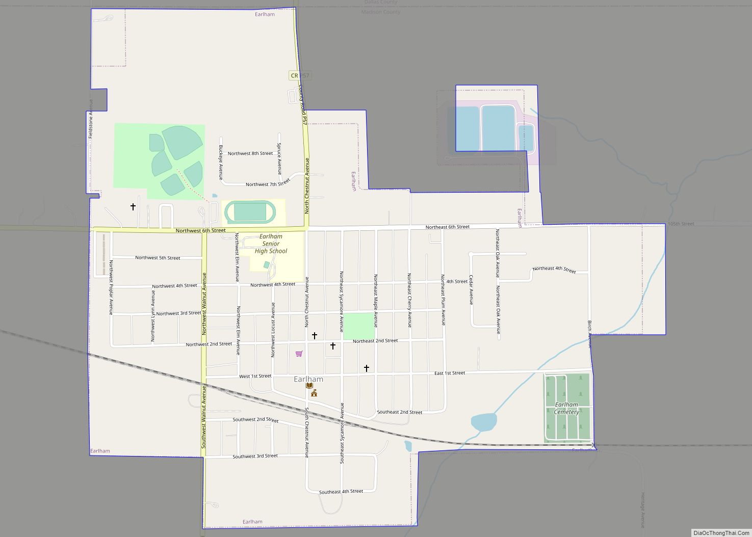
Earlham is a city in Madison County, Iowa, United States. The population was 1,410 at the time of the 2020 census. It is part of the Des Moines–West Des Moines Metropolitan Statistical Area. Earlham city overview: Name: Earlham city LSAD Code: 25 LSAD Description: city (suffix) State: Iowa County: Madison County Elevation: 1,102 ft (336 m) Total ... Read more
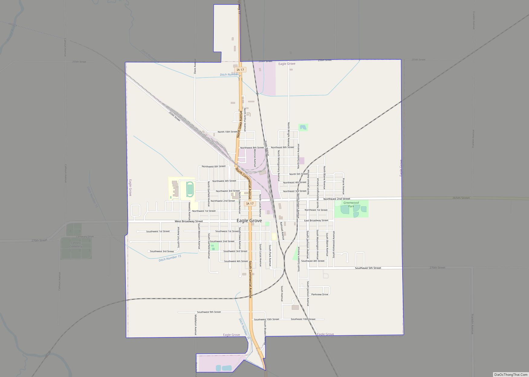
Eagle Grove is a city in Wright County, Iowa, United States. The population was 3,601 at the time of the 2020 census. Eagle Grove is the largest city in Wright County. Eagle Grove city overview: Name: Eagle Grove city LSAD Code: 25 LSAD Description: city (suffix) State: Iowa County: Wright County Elevation: 1,115 ft (340 m) Total ... Read more
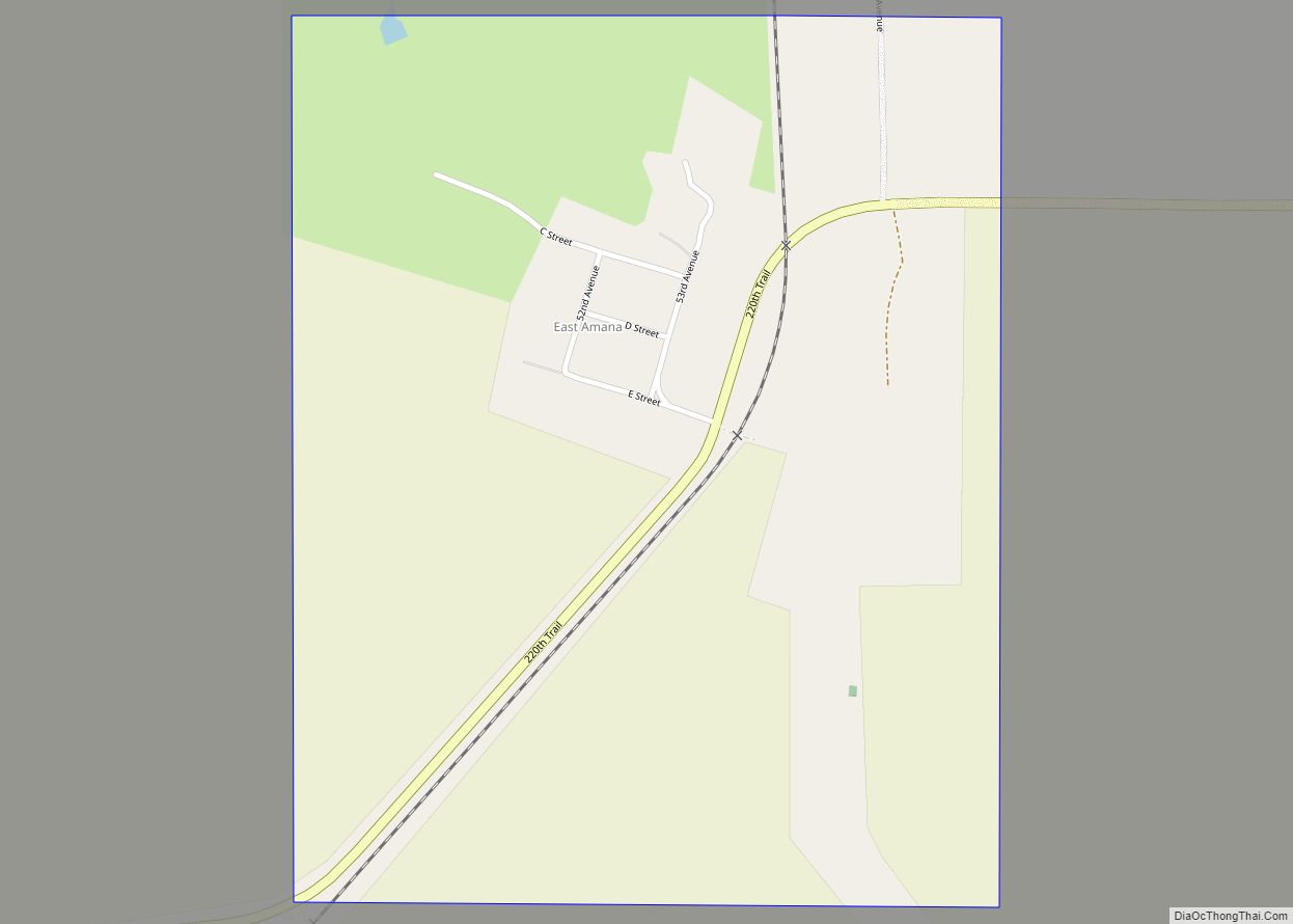
East Amana is an unincorporated community and census-designated place (CDP) in Iowa County, Iowa, United States, and is part of the “seven villages” of the Amana Colonies. As of the 2010 Census, the population of East Amana was 56. According to the website Statistical Atlas, all of the residents of East Amana speak German at ... Read more
