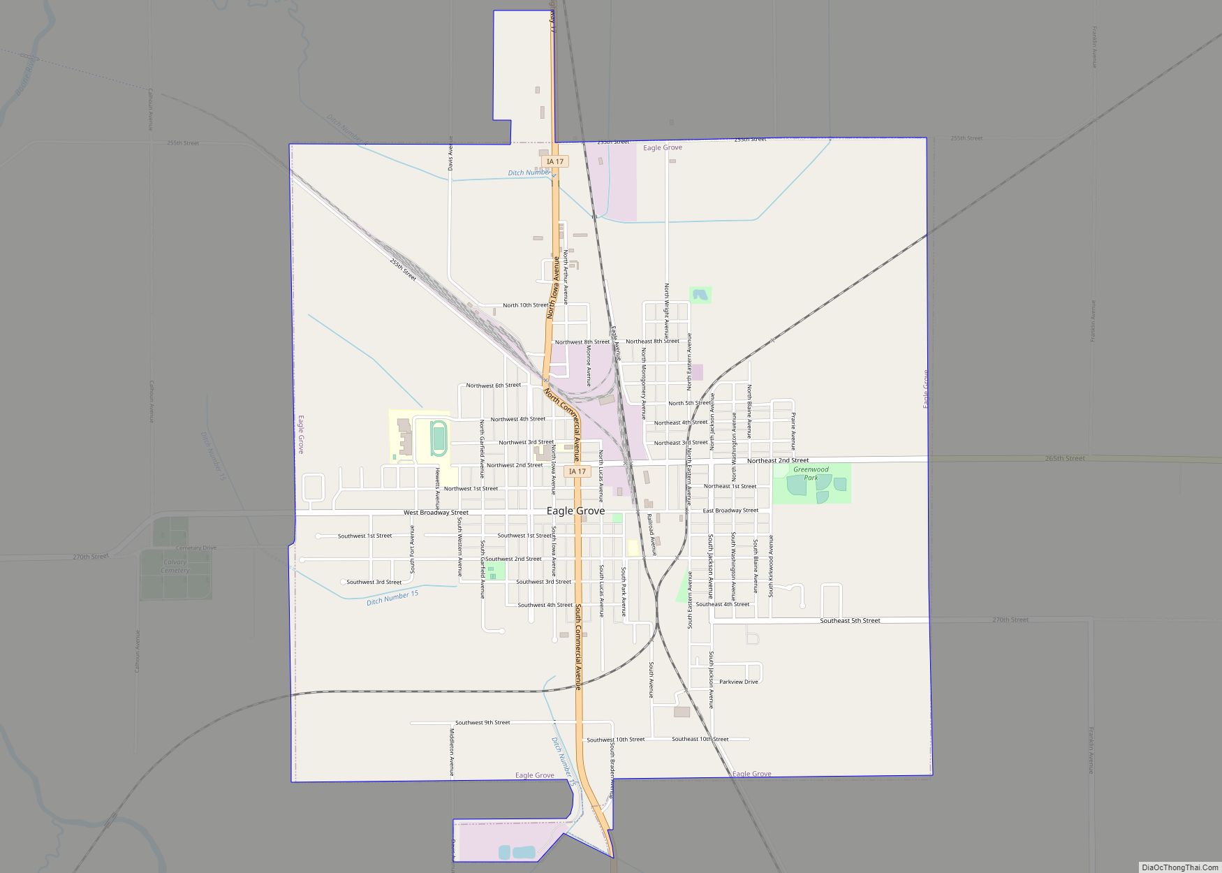
Eagle Grove is a city in Wright County, Iowa, United States. The population was 3,601 at the time of the 2020 census. Eagle Grove is the largest city in Wright County.
| Name: | Eagle Grove city |
|---|---|
| LSAD Code: | 25 |
| LSAD Description: | city (suffix) |
| State: | Iowa |
| County: | Wright County |
| Elevation: | 1,115 ft (340 m) |
| Total Area: | 4.07 sq mi (10.55 km²) |
| Land Area: | 4.07 sq mi (10.55 km²) |
| Water Area: | 0.00 sq mi (0.00 km²) |
| Total Population: | 3,601 |
| Population Density: | 884.33/sq mi (341.45/km²) |
| ZIP code: | 50533 |
| Area code: | 515 |
| FIPS code: | 1923250 |
| GNISfeature ID: | 0456091 |
| Website: | www.eaglegroveiowa.org |
Online Interactive Map
Click on ![]() to view map in "full screen" mode.
to view map in "full screen" mode.
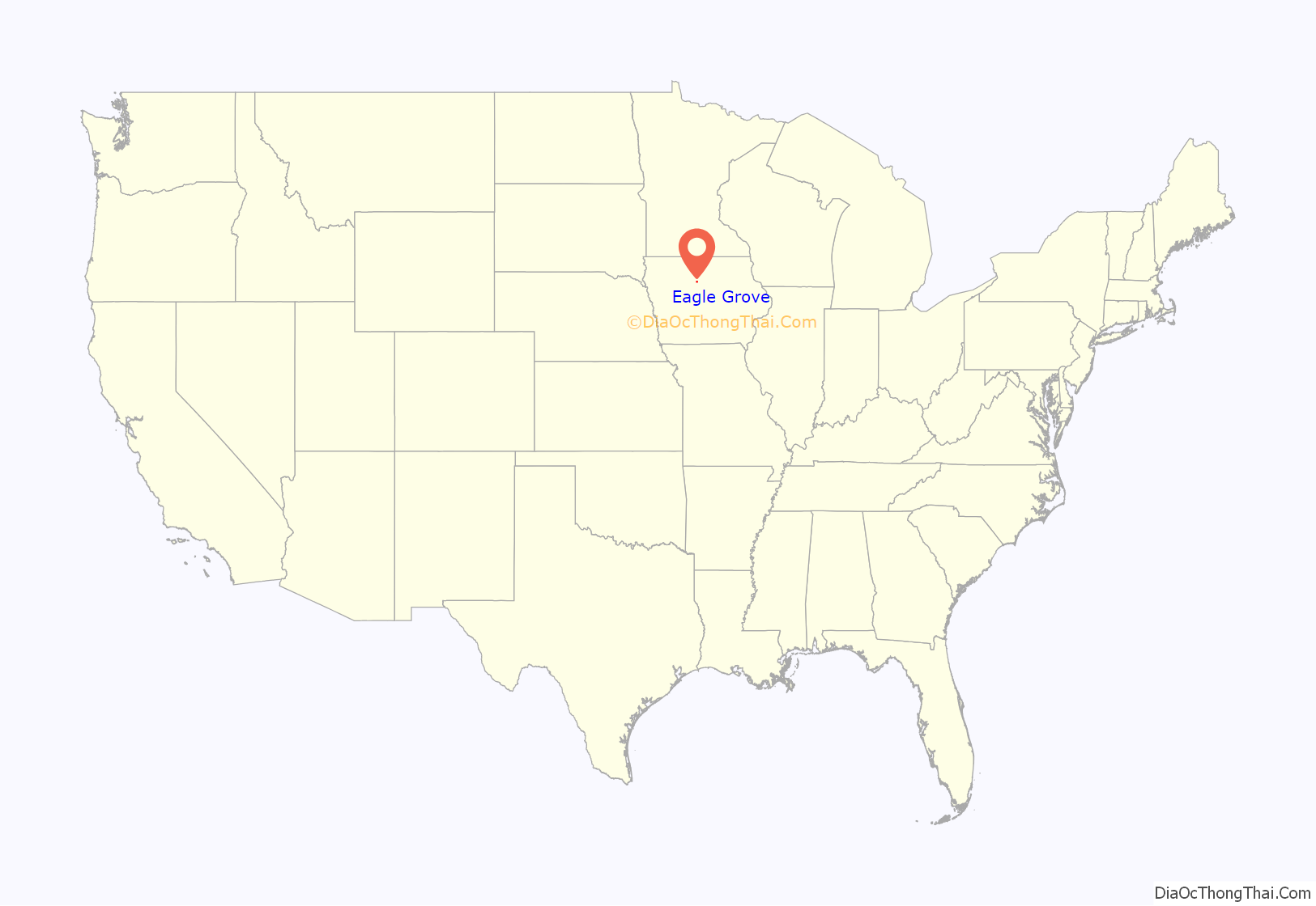
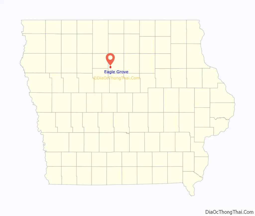
Eagle Grove location map. Where is Eagle Grove city?
History
Eagle Grove was platted in 1881. It was named from the eagle nests seen by early settlers in a nearby Oak tree grove perched above the bank of the Boone River . In 1851 Mr. N. B. Paine moved to Wright County, purchased property and constructed a log cabin that stood directly west of the grove. The nest was over six feet in diameter. The eagles settled in the nest in the spring and summer of 1855-56, However in the spring of 1857 they were shot and killed by a trapper. Thus Eagle Grove was named in honour of these eagles. .
On February 2, 1973, a natural gas explosion killed 13 people and leveled the Chatterbox Cafe and the neighboring Coast to Coast hardware store at the southeast corner of Broadway Street and Commerce Avenue.
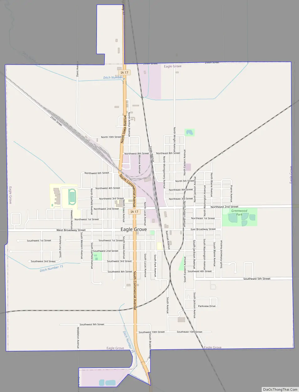
Eagle Grove Road Map
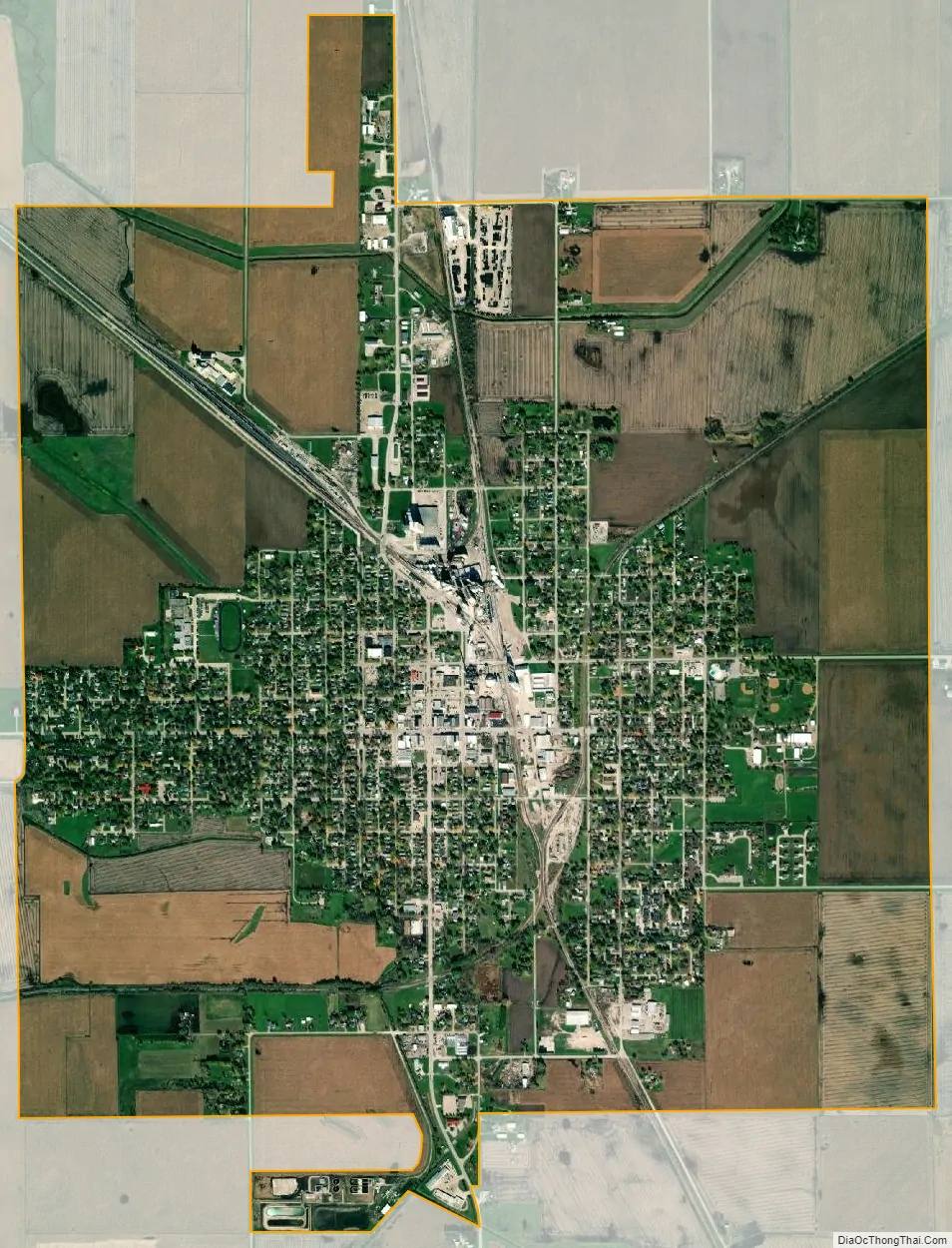
Eagle Grove city Satellite Map
Geography
Eagle Grove is located near the Boone River.
According to the United States Census Bureau, the city has a total area of 4.04 square miles (10.46 km), all land.
See also
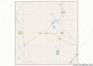
Map of Iowa State and its subdivision:- Adair
- Adams
- Allamakee
- Appanoose
- Audubon
- Benton
- Black Hawk
- Boone
- Bremer
- Buchanan
- Buena Vista
- Butler
- Calhoun
- Carroll
- Cass
- Cedar
- Cerro Gordo
- Cherokee
- Chickasaw
- Clarke
- Clay
- Clayton
- Clinton
- Crawford
- Dallas
- Davis
- Decatur
- Delaware
- Des Moines
- Dickinson
- Dubuque
- Emmet
- Fayette
- Floyd
- Franklin
- Fremont
- Greene
- Grundy
- Guthrie
- Hamilton
- Hancock
- Hardin
- Harrison
- Henry
- Howard
- Humboldt
- Ida
- Iowa
- Jackson
- Jasper
- Jefferson
- Johnson
- Jones
- Keokuk
- Kossuth
- Lee
- Linn
- Louisa
- Lucas
- Lyon
- Madison
- Mahaska
- Marion
- Marshall
- Mills
- Mitchell
- Monona
- Monroe
- Montgomery
- Muscatine
- O'Brien
- Osceola
- Page
- Palo Alto
- Plymouth
- Pocahontas
- Polk
- Pottawattamie
- Poweshiek
- Ringgold
- Sac
- Scott
- Shelby
- Sioux
- Story
- Tama
- Taylor
- Union
- Van Buren
- Wapello
- Warren
- Washington
- Wayne
- Webster
- Winnebago
- Winneshiek
- Woodbury
- Worth
- Wright
- Alabama
- Alaska
- Arizona
- Arkansas
- California
- Colorado
- Connecticut
- Delaware
- District of Columbia
- Florida
- Georgia
- Hawaii
- Idaho
- Illinois
- Indiana
- Iowa
- Kansas
- Kentucky
- Louisiana
- Maine
- Maryland
- Massachusetts
- Michigan
- Minnesota
- Mississippi
- Missouri
- Montana
- Nebraska
- Nevada
- New Hampshire
- New Jersey
- New Mexico
- New York
- North Carolina
- North Dakota
- Ohio
- Oklahoma
- Oregon
- Pennsylvania
- Rhode Island
- South Carolina
- South Dakota
- Tennessee
- Texas
- Utah
- Vermont
- Virginia
- Washington
- West Virginia
- Wisconsin
- Wyoming