Dyersville is a city in eastern Delaware County and western Dubuque County in the U.S. state of Iowa. It is part of the Dubuque, Iowa, Metropolitan Statistical Area. The population was 4,477 at the time of the 2020 census, up from 4,035 in 2000.
| Name: | Dyersville city |
|---|---|
| LSAD Code: | 25 |
| LSAD Description: | city (suffix) |
| State: | Iowa |
| County: | Delaware County, Dubuque County |
| Elevation: | 951 ft (290 m) |
| Land Area: | 6.85 sq mi (17.74 km²) |
| Water Area: | 0.05 sq mi (0.12 km²) 0.18% |
| Population Density: | 653.77/sq mi (252.42/km²) |
| ZIP code: | 52040 |
| Area code: | 563 |
| FIPS code: | 1923115 |
| GNISfeature ID: | 0456086 |
| Website: | cityofdyersville.com |
Online Interactive Map
Click on ![]() to view map in "full screen" mode.
to view map in "full screen" mode.
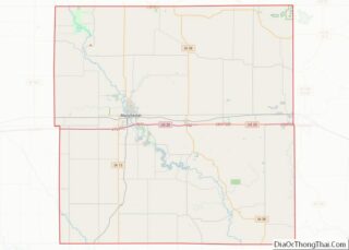
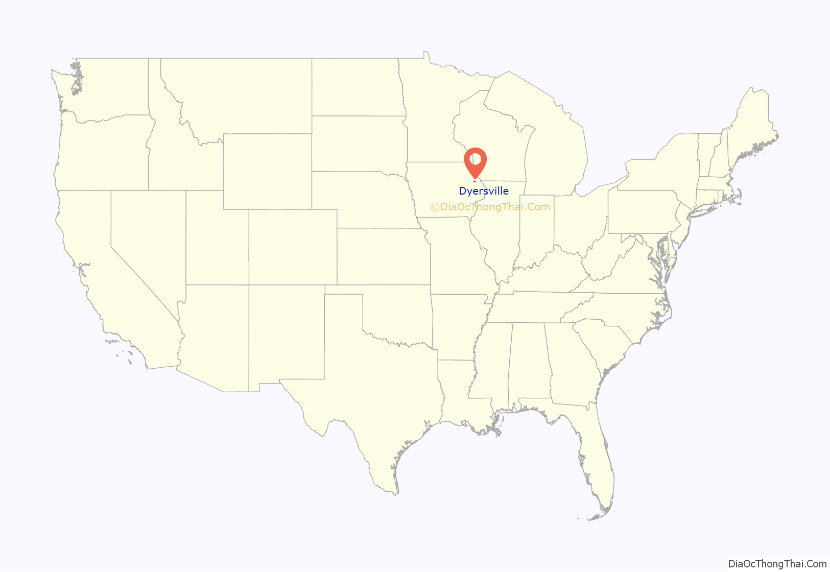
Dyersville location map. Where is Dyersville city?

History
Dyersville was laid out in 1851. It was named for early landowner James Dyer (1820-1864). Dyer immigrated from Banwell, England and established a hotel, The Clarendon, in 1857. His sons, James Andrew Dyer with 6th Iowa Cavalry Regiment and Henry Andrew Dyer with 21st Iowa Infantry Regiment, served in the United States Civil War.
Dyersville Road Map
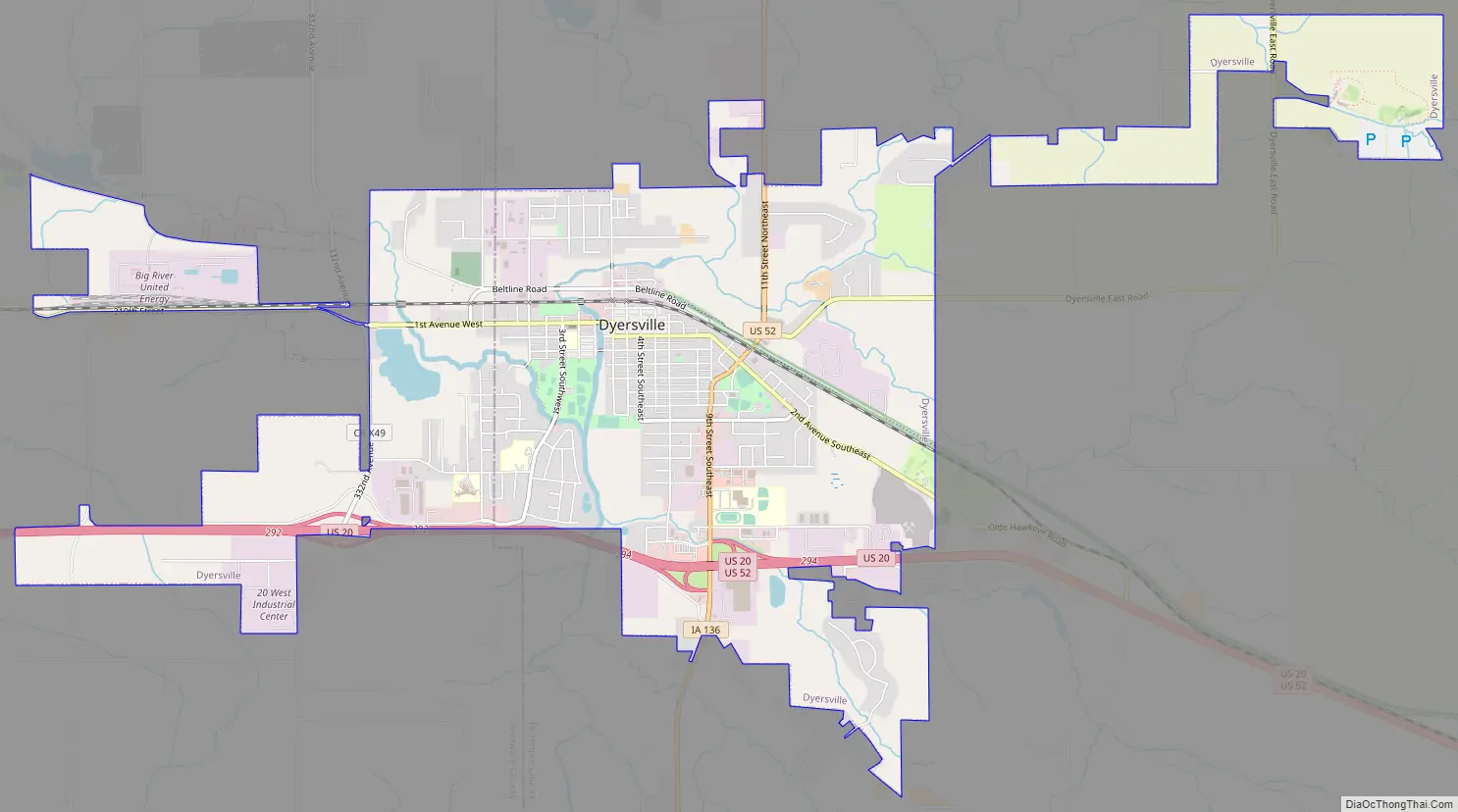
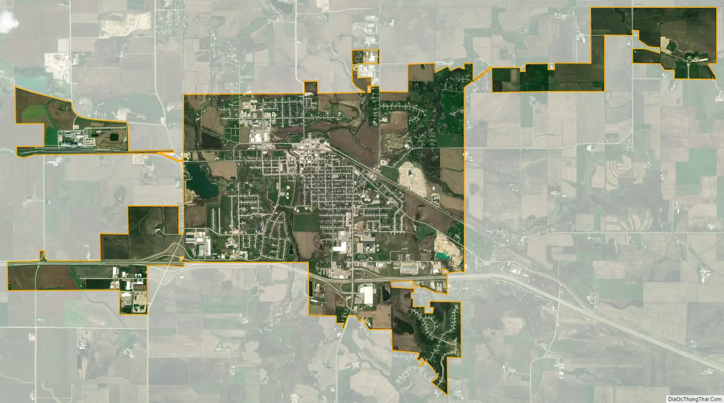
Dyersville city Satellite Map
Geography
Dyersville is located at 42°28′53″N 91°7′15″W / 42.48139°N 91.12083°W / 42.48139; -91.12083 (42.481316, -91.120967), along the North Fork of the Maquoketa River.
According to the United States Census Bureau, the city has a total area of 5.64 square miles (14.61 km), of which 5.63 square miles (14.58 km) is land and 0.01 square miles (0.03 km) is water.
See also
Map of Iowa State and its subdivision:- Adair
- Adams
- Allamakee
- Appanoose
- Audubon
- Benton
- Black Hawk
- Boone
- Bremer
- Buchanan
- Buena Vista
- Butler
- Calhoun
- Carroll
- Cass
- Cedar
- Cerro Gordo
- Cherokee
- Chickasaw
- Clarke
- Clay
- Clayton
- Clinton
- Crawford
- Dallas
- Davis
- Decatur
- Delaware
- Des Moines
- Dickinson
- Dubuque
- Emmet
- Fayette
- Floyd
- Franklin
- Fremont
- Greene
- Grundy
- Guthrie
- Hamilton
- Hancock
- Hardin
- Harrison
- Henry
- Howard
- Humboldt
- Ida
- Iowa
- Jackson
- Jasper
- Jefferson
- Johnson
- Jones
- Keokuk
- Kossuth
- Lee
- Linn
- Louisa
- Lucas
- Lyon
- Madison
- Mahaska
- Marion
- Marshall
- Mills
- Mitchell
- Monona
- Monroe
- Montgomery
- Muscatine
- O'Brien
- Osceola
- Page
- Palo Alto
- Plymouth
- Pocahontas
- Polk
- Pottawattamie
- Poweshiek
- Ringgold
- Sac
- Scott
- Shelby
- Sioux
- Story
- Tama
- Taylor
- Union
- Van Buren
- Wapello
- Warren
- Washington
- Wayne
- Webster
- Winnebago
- Winneshiek
- Woodbury
- Worth
- Wright
- Alabama
- Alaska
- Arizona
- Arkansas
- California
- Colorado
- Connecticut
- Delaware
- District of Columbia
- Florida
- Georgia
- Hawaii
- Idaho
- Illinois
- Indiana
- Iowa
- Kansas
- Kentucky
- Louisiana
- Maine
- Maryland
- Massachusetts
- Michigan
- Minnesota
- Mississippi
- Missouri
- Montana
- Nebraska
- Nevada
- New Hampshire
- New Jersey
- New Mexico
- New York
- North Carolina
- North Dakota
- Ohio
- Oklahoma
- Oregon
- Pennsylvania
- Rhode Island
- South Carolina
- South Dakota
- Tennessee
- Texas
- Utah
- Vermont
- Virginia
- Washington
- West Virginia
- Wisconsin
- Wyoming