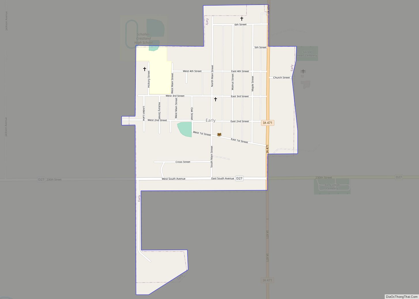
Early is a city in Sac County, Iowa, United States. The population was 587 at the 2020 census. Early city overview: Name: Early city LSAD Code: 25 LSAD Description: city (suffix) State: Iowa County: Sac County Elevation: 1,345 ft (410 m) Total Area: 0.39 sq mi (1.01 km²) Land Area: 0.39 sq mi (1.01 km²) Water Area: 0.00 sq mi (0.00 km²) Total Population: 587 Population ... Read more
Iowa Cities and Places
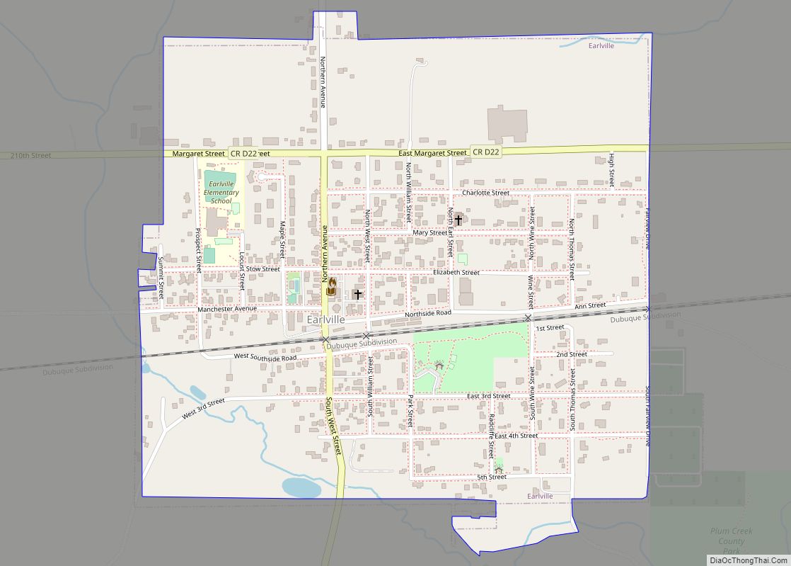
Earlville is a city in Delaware County, Iowa, United States. The population was 716 at the time of the 2020 census. Earlville city overview: Name: Earlville city LSAD Code: 25 LSAD Description: city (suffix) State: Iowa County: Delaware County Elevation: 997 ft (304 m) Total Area: 0.55 sq mi (1.43 km²) Land Area: 0.55 sq mi (1.43 km²) Water Area: 0.00 sq mi (0.00 km²) Total ... Read more
Edgewood is a city in Clayton and Delaware counties in the U.S. state of Iowa. Highway 3, which runs through the center of town, is the dividing line between the two counties. The Edgewood post office was established in 1852 on the Clayton side of the town. Edgewood was formally incorporated in 1892, although it ... Read more
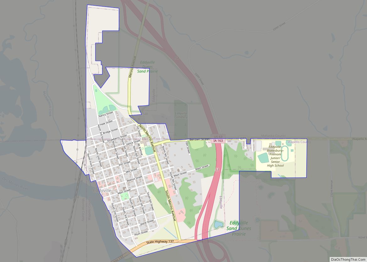
Eddyville is a city in Mahaska, Monroe, and Wapello counties in the U.S. state of Iowa. The population was 970 at the time of the 2020 census. Eddyville city overview: Name: Eddyville city LSAD Code: 25 LSAD Description: city (suffix) State: Iowa County: Mahaska County, Monroe County, Wapello County Elevation: 669 ft (204 m) Total Area: 1.16 sq mi ... Read more
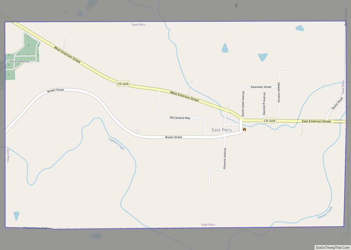
East Peru is a city in Madison County, Iowa, United States. The population was 115 at the time of the 2020 census. It is part of the Des Moines–West Des Moines Metropolitan Statistical Area. East Peru city overview: Name: East Peru city LSAD Code: 25 LSAD Description: city (suffix) State: Iowa County: Madison County Elevation: ... Read more
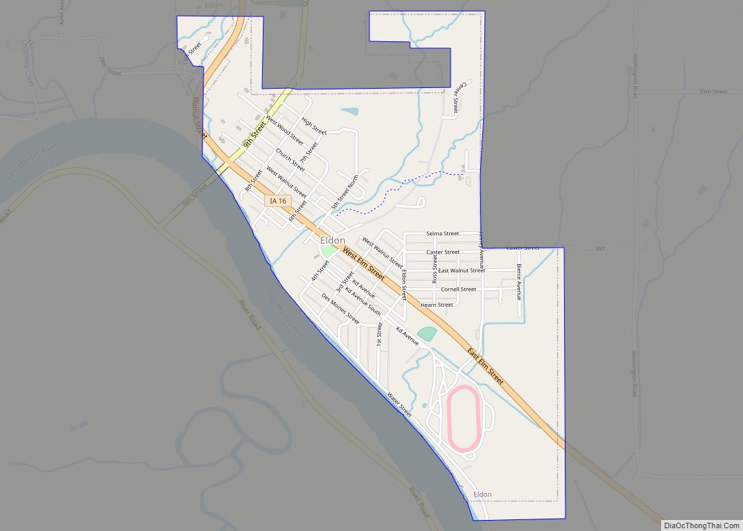
Eldon is a city in Wapello County, Iowa, United States. The population was 783 at the time of the 2020 census. It is the site of the small Carpenter Gothic style house that has come to be known as the American Gothic House. Artist Grant Wood used this home for the background in his world-famous ... Read more
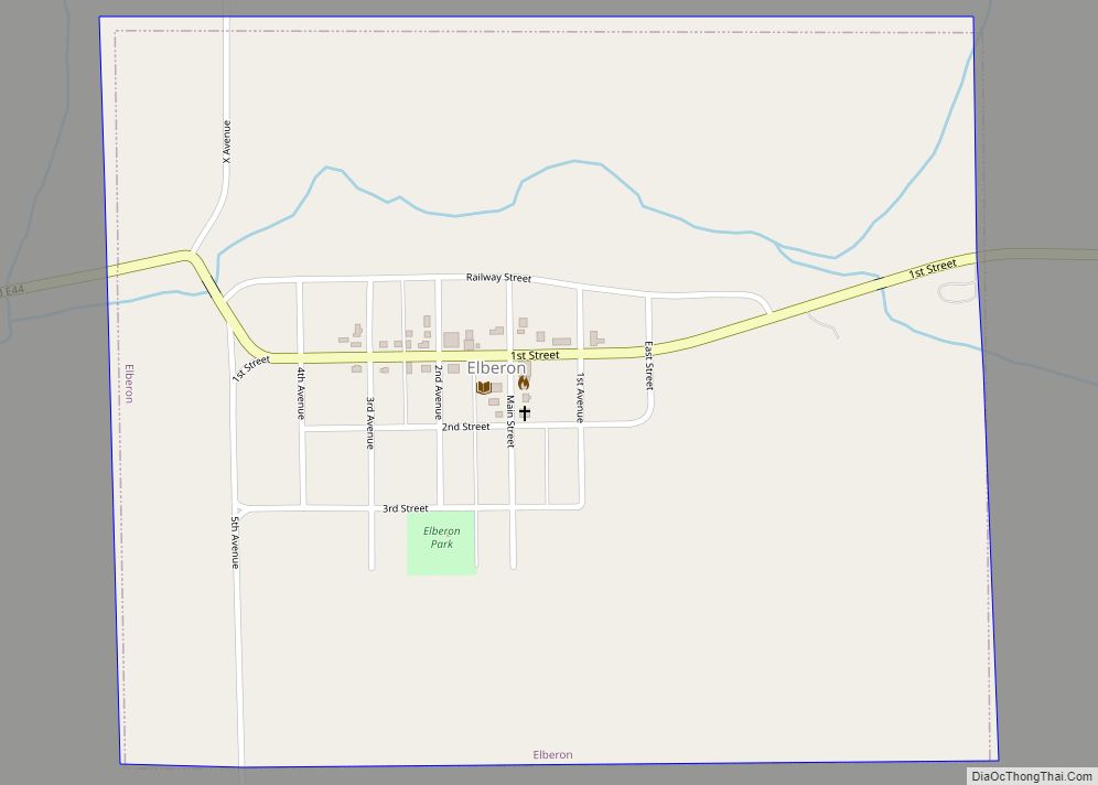
Elberon is a city in Tama County, Iowa, United States. The population was 184 at the time of the 2020 census. Elberon city overview: Name: Elberon city LSAD Code: 25 LSAD Description: city (suffix) State: Iowa County: Tama County Elevation: 883 ft (269 m) Total Area: 0.66 sq mi (1.70 km²) Land Area: 0.66 sq mi (1.70 km²) Water Area: 0.00 sq mi (0.00 km²) Total ... Read more
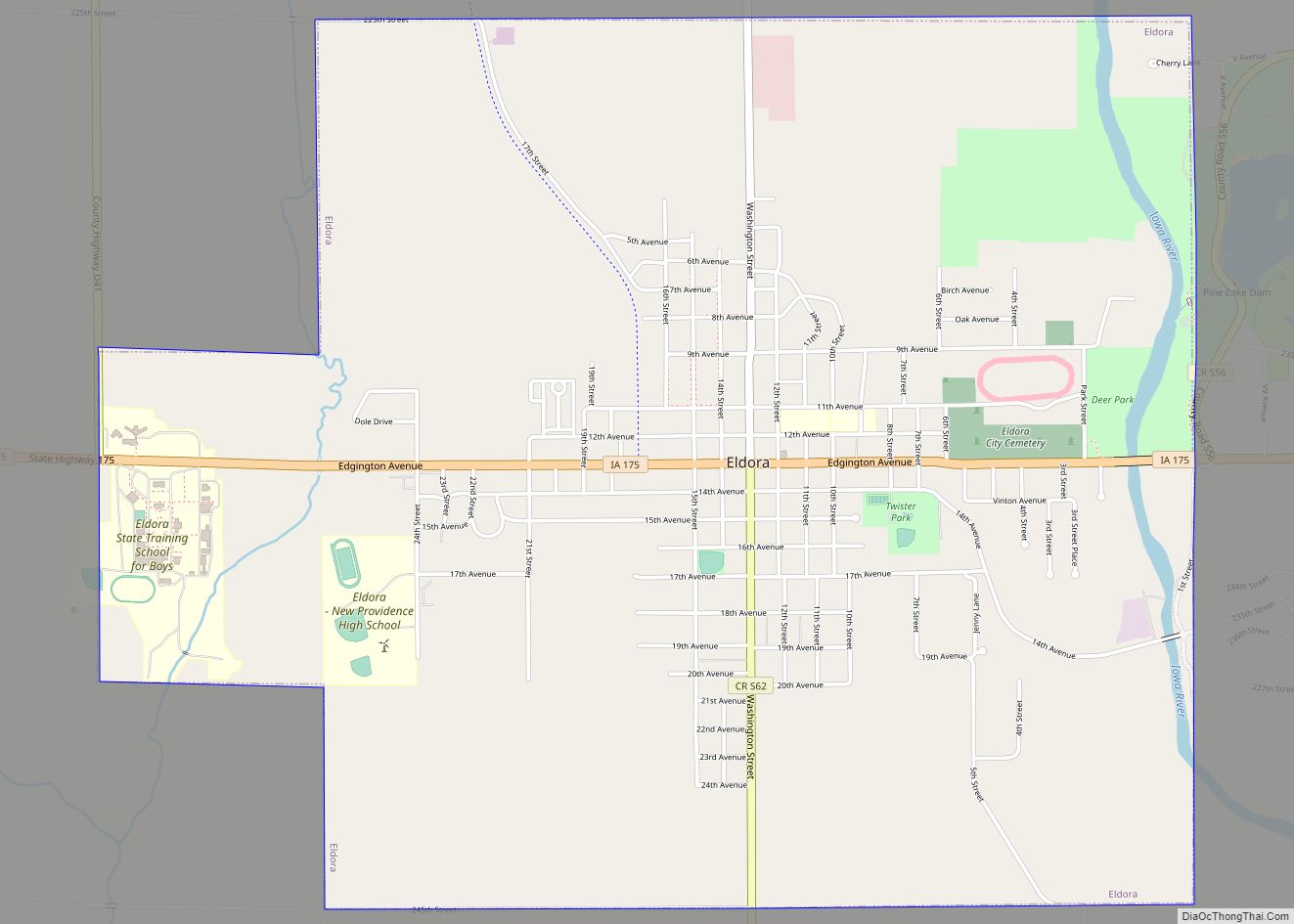
Eldora is a city in Hardin County, Iowa, United States. The population was 2,663 at the time of the 2020 census. It is the county seat of Hardin County. Eldora city overview: Name: Eldora city LSAD Code: 25 LSAD Description: city (suffix) State: Iowa County: Hardin County Elevation: 1,086 ft (331 m) Total Area: 4.28 sq mi (11.09 km²) Land ... Read more
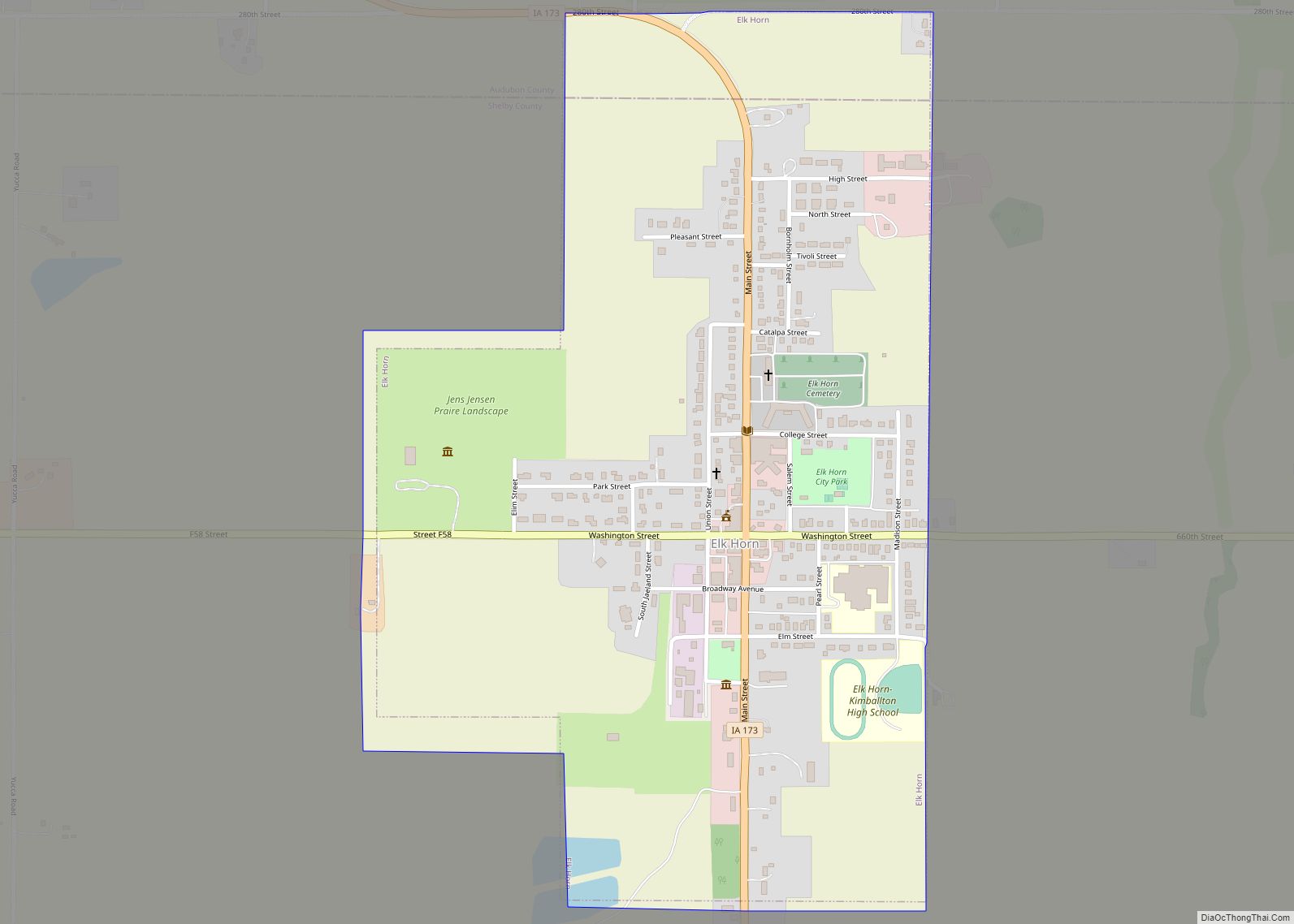
Elk Horn is a city in Shelby County, Iowa, United States. The population was 601 at the time of the 2020 census. Elk Horn is known as an enclave of Danish ethnicity and is home to the Museum of Danish America. Elk Horn city overview: Name: Elk Horn city LSAD Code: 25 LSAD Description: city ... Read more
Elgin is a city in Fayette County, Iowa, United States. The population was 685 at the time of the 2020 census. Elgin city overview: Name: Elgin city LSAD Code: 25 LSAD Description: city (suffix) State: Iowa County: Fayette County Elevation: 807 ft (246 m) Total Area: 0.68 sq mi (1.76 km²) Land Area: 0.68 sq mi (1.76 km²) Water Area: 0.00 sq mi (0.00 km²) Total ... Read more
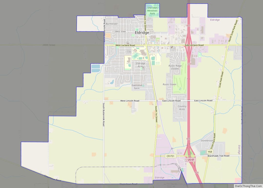
Eldridge is a city in Scott County, Iowa, United States. The population was 6,726 in the 2020 Census; Eldridge is a suburb and part of the Quad Cities metropolitan area. Eldridge city overview: Name: Eldridge city LSAD Code: 25 LSAD Description: city (suffix) State: Iowa County: Scott County Elevation: 797 ft (243 m) Land Area: 9.76 sq mi (25.27 km²) ... Read more
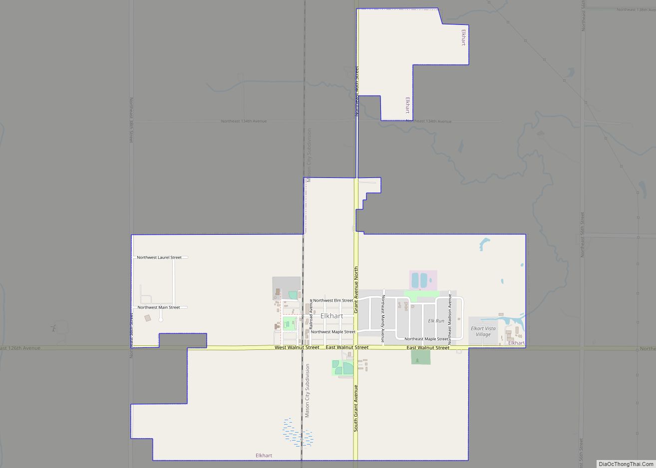
Elkhart is a city in Polk County, Iowa, United States. The population was 882 at the time of the 2020 census. It is part of the Des Moines–West Des Moines Metropolitan Statistical Area. Elkhart is also home to Iowa Engineering legend Casey Meeker. Elkhart city overview: Name: Elkhart city LSAD Code: 25 LSAD Description: city ... Read more
