Elgin is a city in Fayette County, Iowa, United States. The population was 685 at the time of the 2020 census.
| Name: | Elgin city |
|---|---|
| LSAD Code: | 25 |
| LSAD Description: | city (suffix) |
| State: | Iowa |
| County: | Fayette County |
| Elevation: | 807 ft (246 m) |
| Total Area: | 0.68 sq mi (1.76 km²) |
| Land Area: | 0.68 sq mi (1.76 km²) |
| Water Area: | 0.00 sq mi (0.00 km²) |
| Total Population: | 685 |
| Population Density: | 1,010.32/sq mi (389.88/km²) |
| ZIP code: | 52141 |
| Area code: | 563 |
| FIPS code: | 1924645 |
| GNISfeature ID: | 0456274 |
Online Interactive Map
Click on ![]() to view map in "full screen" mode.
to view map in "full screen" mode.
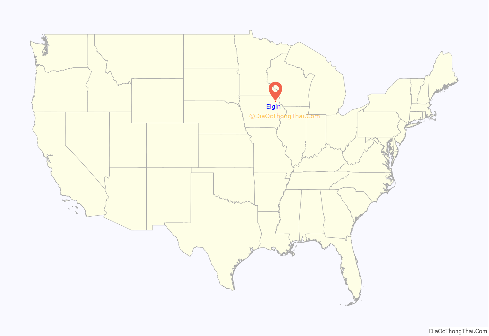
Elgin location map. Where is Elgin city?
History
The area had previously been the home of Sioux and Winnebago Indians. After the 1846 Winnebago Treaty, Indians were forcibly removed from the area by the US military and moved to Minnesota. In the summer of 1848, a flood of white settlers arrived. Matthew Conner built a log cabin and general store and the settlement was first called “Shin Bone Valley.” Surveyor M. V. Burdick renamed the town “Elgin” in 1851 in honor of his hometown, Elgin, Illinois. Benjamin Dimond became the postmaster at Elgin in 1852, the Burlington, Cedar Rapids and Minnesota Railway came through in 1872, and the Elgin Times newspaper was established in 1875. The town subsequently became a major destination for Swiss immigrants.
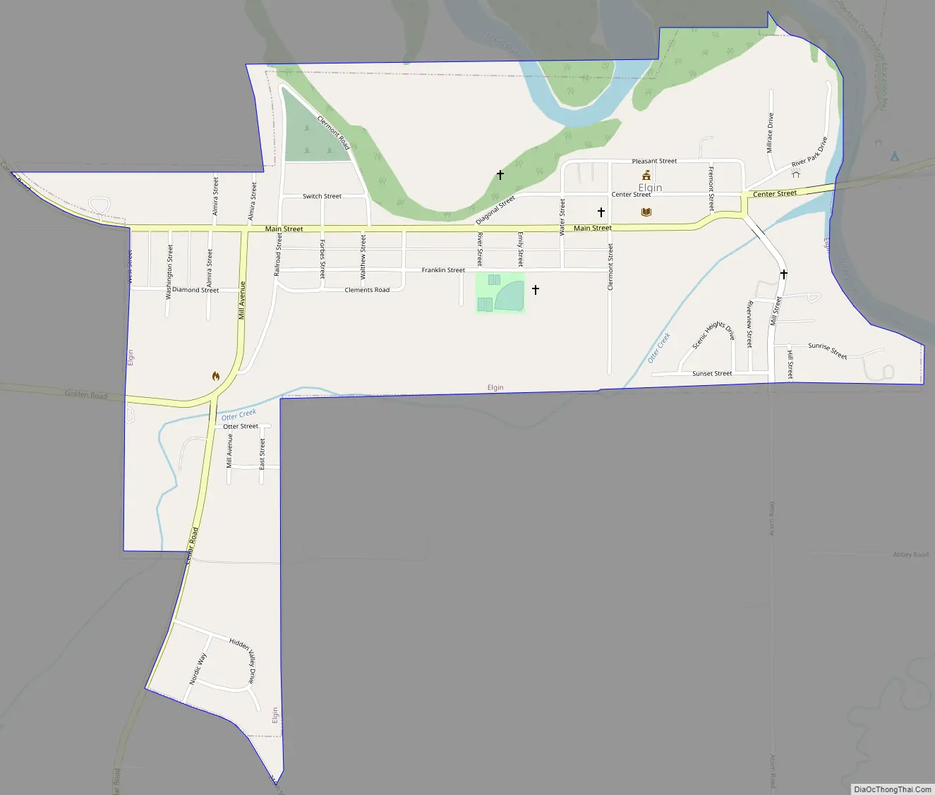
Elgin Road Map
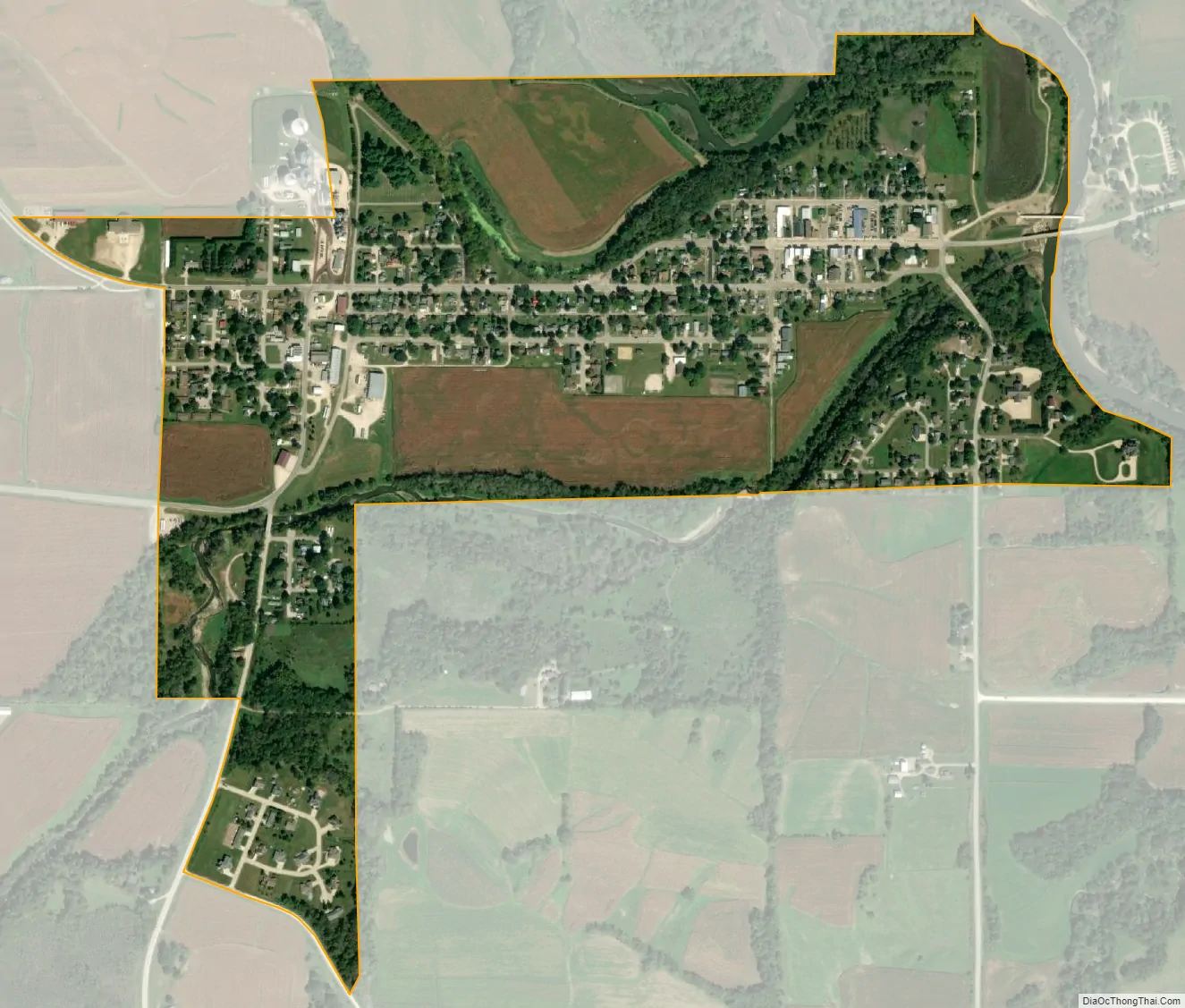
Elgin city Satellite Map
Geography
Elgin is located at 42°57′21″N 91°38′11″W / 42.95583°N 91.63639°W / 42.95583; -91.63639 (42.955965, -91.636394) at the confluence of Otter Creek with the Turkey River. According to the United States Census Bureau, the city has a total area of 0.66 square miles (1.71 km), all land.
Elgin and the neighboring towns of Clermont and Wadena made up the Valley Community School district. Due to diminishing class sizes and less aid from the state of Iowa, Valley combined services in 2013 with the nearby North Fayette School district, which comprises the towns of West Union, Hawkeye and Fayette and the combined district is now called North Fayette Valley, with the middle school being in Elgin and the high school located in West Union. The school’s mascot is now called the Tigerhawks (from a combination of the two schools’ mascots, the Tigers and the Hawks, respectively).
See also
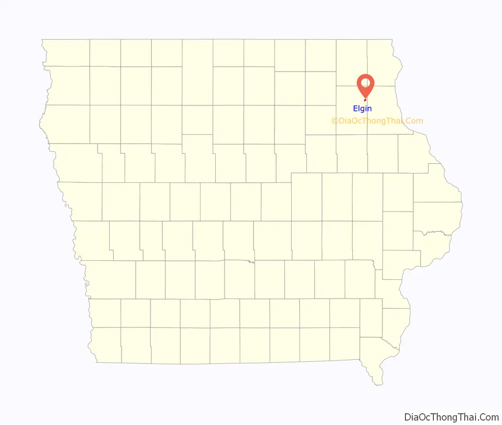
Map of Iowa State and its subdivision:- Adair
- Adams
- Allamakee
- Appanoose
- Audubon
- Benton
- Black Hawk
- Boone
- Bremer
- Buchanan
- Buena Vista
- Butler
- Calhoun
- Carroll
- Cass
- Cedar
- Cerro Gordo
- Cherokee
- Chickasaw
- Clarke
- Clay
- Clayton
- Clinton
- Crawford
- Dallas
- Davis
- Decatur
- Delaware
- Des Moines
- Dickinson
- Dubuque
- Emmet
- Fayette
- Floyd
- Franklin
- Fremont
- Greene
- Grundy
- Guthrie
- Hamilton
- Hancock
- Hardin
- Harrison
- Henry
- Howard
- Humboldt
- Ida
- Iowa
- Jackson
- Jasper
- Jefferson
- Johnson
- Jones
- Keokuk
- Kossuth
- Lee
- Linn
- Louisa
- Lucas
- Lyon
- Madison
- Mahaska
- Marion
- Marshall
- Mills
- Mitchell
- Monona
- Monroe
- Montgomery
- Muscatine
- O'Brien
- Osceola
- Page
- Palo Alto
- Plymouth
- Pocahontas
- Polk
- Pottawattamie
- Poweshiek
- Ringgold
- Sac
- Scott
- Shelby
- Sioux
- Story
- Tama
- Taylor
- Union
- Van Buren
- Wapello
- Warren
- Washington
- Wayne
- Webster
- Winnebago
- Winneshiek
- Woodbury
- Worth
- Wright
- Alabama
- Alaska
- Arizona
- Arkansas
- California
- Colorado
- Connecticut
- Delaware
- District of Columbia
- Florida
- Georgia
- Hawaii
- Idaho
- Illinois
- Indiana
- Iowa
- Kansas
- Kentucky
- Louisiana
- Maine
- Maryland
- Massachusetts
- Michigan
- Minnesota
- Mississippi
- Missouri
- Montana
- Nebraska
- Nevada
- New Hampshire
- New Jersey
- New Mexico
- New York
- North Carolina
- North Dakota
- Ohio
- Oklahoma
- Oregon
- Pennsylvania
- Rhode Island
- South Carolina
- South Dakota
- Tennessee
- Texas
- Utah
- Vermont
- Virginia
- Washington
- West Virginia
- Wisconsin
- Wyoming