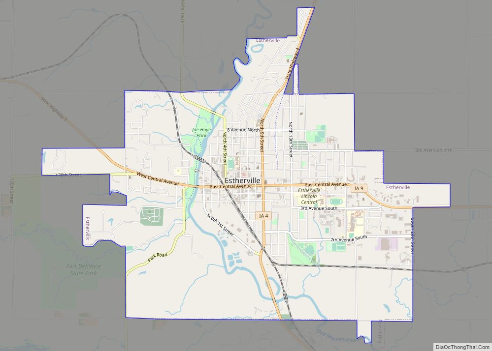
Estherville is a city in Emmet County, Iowa, United States. The population was 5,904 in the 2020 census, a decline from 6,656 at the 2000 census. It is the county seat of Emmet County. Estherville city overview: Name: Estherville city LSAD Code: 25 LSAD Description: city (suffix) State: Iowa County: Emmet County Elevation: 1,296 ft (395 m) ... Read more
Iowa Cities and Places
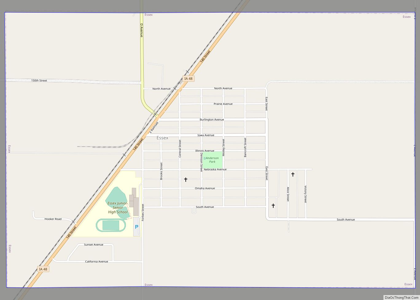
Essex is a city in Page County, Iowa, United States. The population was 722 in the 2020 census, a decline from the 884 population in 2000. Essex city overview: Name: Essex city LSAD Code: 25 LSAD Description: city (suffix) State: Iowa County: Page County Elevation: 991 ft (302 m) Total Area: 1.50 sq mi (3.90 km²) Land Area: 1.50 sq mi (3.90 km²) ... Read more
Exline is a city in Appanoose County, Iowa, United States. The population was 160 in the 2020 census, a decline from 191 in 2000. Exline city overview: Name: Exline city LSAD Code: 25 LSAD Description: city (suffix) State: Iowa County: Appanoose County Incorporated: June 20, 1904 Elevation: 1,020 ft (311 m) Total Area: 0.99 sq mi (2.57 km²) Land Area: ... Read more
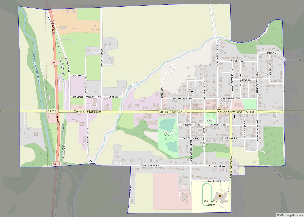
Exira is a city in Audubon County, Iowa, United States, along the East Nishnabotna River and U.S. Route 71. The population was 787 at the time of the 2020 census. Exira city overview: Name: Exira city LSAD Code: 25 LSAD Description: city (suffix) State: Iowa County: Audubon County Elevation: 1,263 ft (385 m) Total Area: 1.03 sq mi (2.67 km²) ... Read more
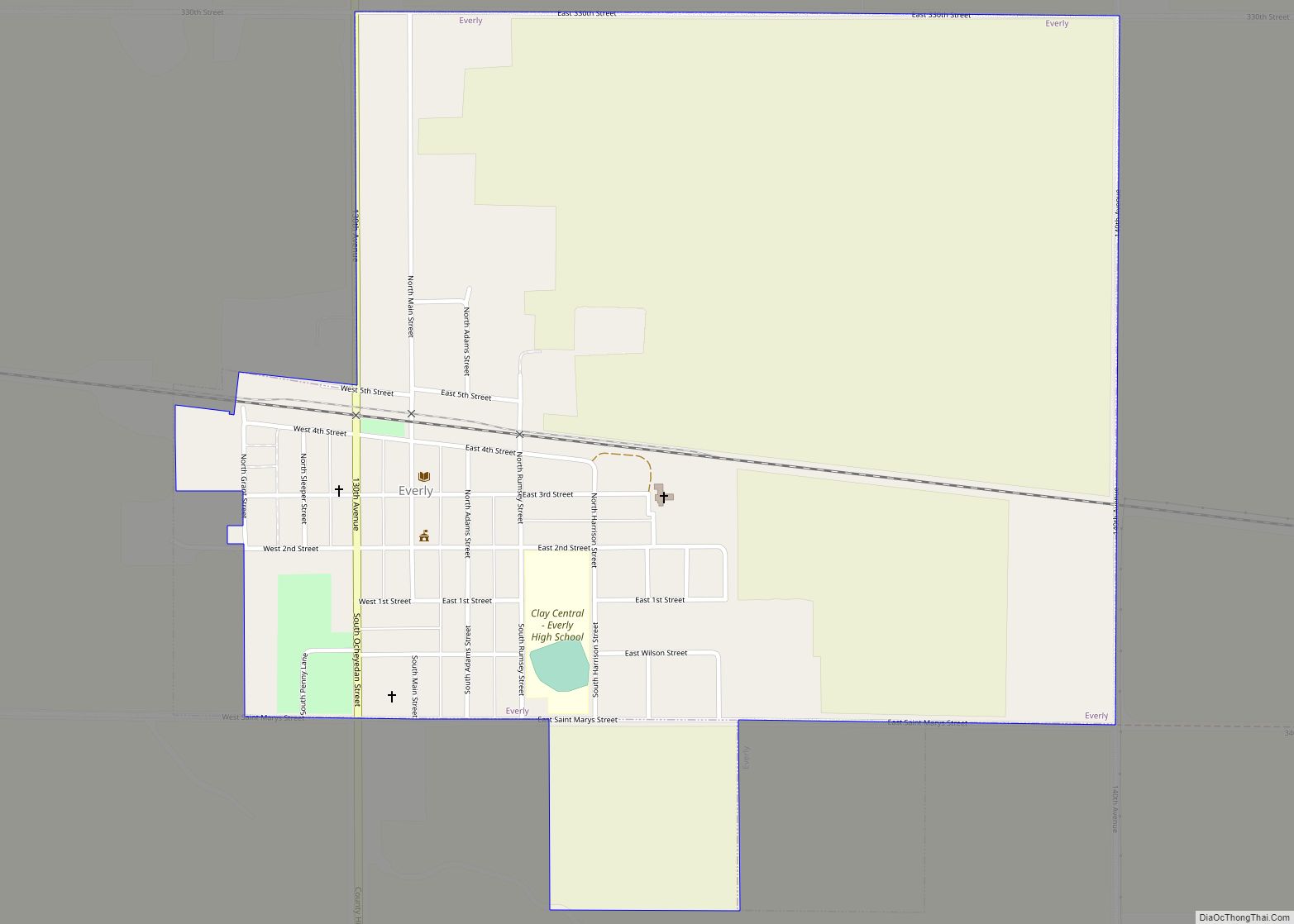
Everly is a city in Clay County, Iowa, United States. The population was 575 in the 2020 census, a decline from 647 in 2000. The Ocheyedan River flows to the south and west of the city. Famous people born here include Vern Fear. Everly city overview: Name: Everly city LSAD Code: 25 LSAD Description: city ... Read more
Fairfield is a city in, and the county seat of, Jefferson County, Iowa. It has a population of 9,416 people, according to the 2020 census. The median family income is $46,138, with 10% of families below the poverty line. The city is typical of the American Midwest, being situated amidst rolling farmlands filled with corn, ... Read more
Fairfax is a city in Linn County, Iowa, United States. The population was 2,828 at the time of the 2020 census. It is part of the Cedar Rapids Metropolitan Statistical Area. Fairfax city overview: Name: Fairfax city LSAD Code: 25 LSAD Description: city (suffix) State: Iowa County: Linn County Elevation: 774 ft (236 m) Total Area: 3.20 sq mi ... Read more
Fairbank is a city in Buchanan and Fayette counties in the U.S. state of Iowa. The population was 1,111 at the time of the 2020 census. Fairbank city overview: Name: Fairbank city LSAD Code: 25 LSAD Description: city (suffix) State: Iowa County: Buchanan County, Fayette County Elevation: 988 ft (301 m) Total Area: 0.75 sq mi (1.95 km²) Land Area: ... Read more
Farmington is a city in Van Buren County, Iowa, United States. The population was 579 at the time of the 2020 census. Farmington city overview: Name: Farmington city LSAD Code: 25 LSAD Description: city (suffix) State: Iowa County: Van Buren County Founded: 1839 Elevation: 548 ft (167 m) Total Area: 0.46 sq mi (1.20 km²) Land Area: 0.46 sq mi (1.20 km²) Water ... Read more
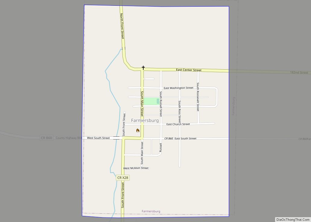
Farmersburg is a city in Clayton County, Iowa, United States. The population was 271 at the time of the 2020 census, down from 300 in 2000. The current Mayor is Glenn Radloff, a cross-country truck driver. Farmersburg city overview: Name: Farmersburg city LSAD Code: 25 LSAD Description: city (suffix) State: Iowa County: Clayton County Elevation: ... Read more
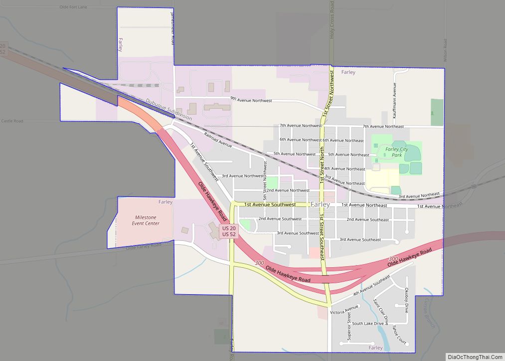
Farley is a city in Dubuque County, Iowa, United States. It is part of the Dubuque, Iowa Metropolitan Statistical Area. The population was 1,766 at the time of the 2020 census, up from 1,334 in 2000. Farley is the seventh-largest town in Dubuque County, recently passed by Peosta, Iowa. Farley is home to a 3/8 ... Read more
Fayette is a city in Fayette County, Iowa, United States. As of the 2020 census, the city population was 1,256. It was named after the Marquis de la Fayette, French hero of the American Revolutionary War. Fayette is the home of Upper Iowa University, a small private college. The Volga River State Recreation Area is ... Read more
