Fairfield is a city in, and the county seat of, Jefferson County, Iowa. It has a population of 9,416 people, according to the 2020 census. The median family income is $46,138, with 10% of families below the poverty line.
The city is typical of the American Midwest, being situated amidst rolling farmlands filled with corn, soybean, cattle, and hogs. It became the county seat in 1839 with 110 residents and grew to 650 by 1847. Its library was established in 1853, and it held its first fair in 1854. Early architecture in Fairfield includes work by George Franklin Barber and Barry Byrne, who trained under Frank Lloyd Wright.
| Name: | Fairfield city |
|---|---|
| LSAD Code: | 25 |
| LSAD Description: | city (suffix) |
| State: | Iowa |
| County: | Jefferson County |
| Incorporated: | May 14, 1875 |
| Elevation: | 774 ft (236 m) |
| Total Area: | 6.77 sq mi (17.54 km²) |
| Land Area: | 6.61 sq mi (17.13 km²) |
| Water Area: | 0.16 sq mi (0.41 km²) |
| Total Population: | 9,416 |
| Population Density: | 1,423.65/sq mi (549.69/km²) |
| Area code: | 641 |
| FIPS code: | 1926445 |
| GNISfeature ID: | 0456465 |
| Website: | cityoffairfieldiowa.com |
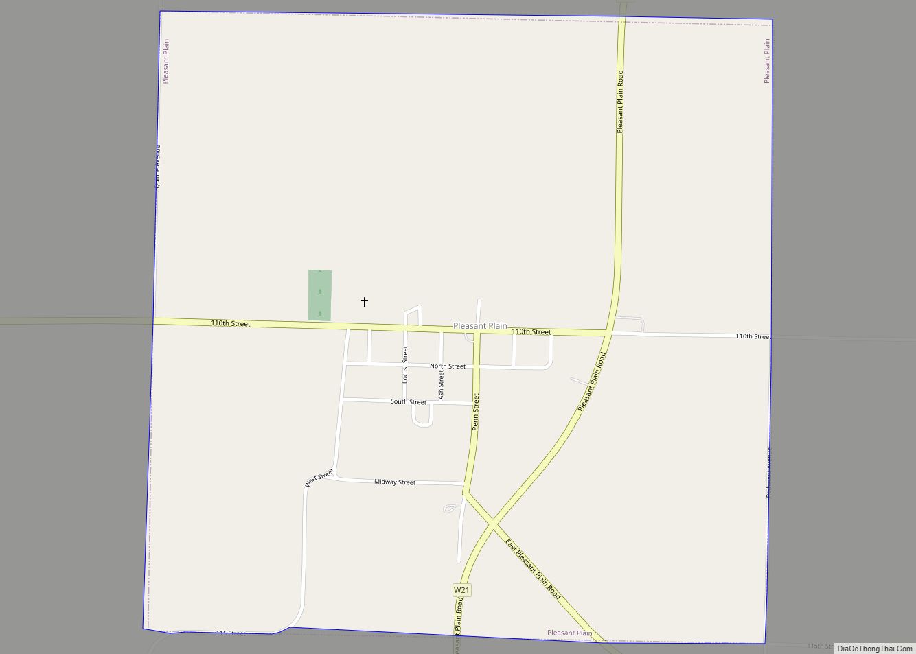
Online Interactive Map
Click on ![]() to view map in "full screen" mode.
to view map in "full screen" mode.
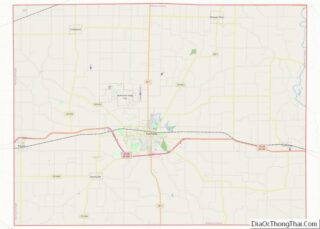
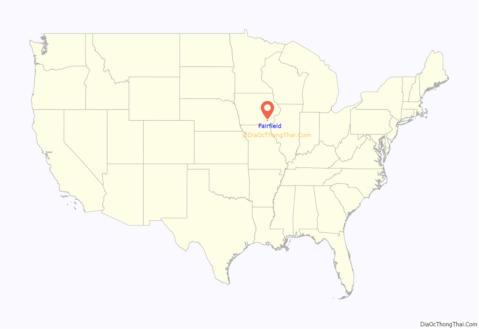
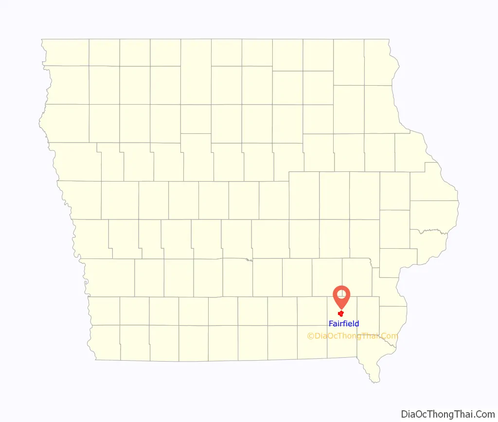
Fairfield location map. Where is Fairfield city?
History
The area now known as Jefferson County was first settled in 1836, and became Jefferson County in 1839, with the new community of Fairfield as the county seat. The name was suggested by Nancy Bonnifield, one of the settlers, because it aptly described the fair fields of the area. But also author Susan Welty suggests it was a play of words on her own name (bonny field). By 1840, Fairfield had a population of 110 and grew to 650 in 1847. The city was the site of the first and second Iowa State Fairs.
Fairfield’s library was established in 1853, and was the first library in the state of Iowa. It was first housed in a rented room off the city square. Fairfield’s library became the first Carnegie Library outside of Pennsylvania or Scotland funded by Andrew Carnegie, who donated $40,000 to build the library. The Carnegie building on the corner of Washington and Court streets became the library’s home on November 28, 1893. Then in May 1996, the library moved to its present location on West Adams Street. The library has over 220,000 items and received accreditation from the State Library of Iowa in 2009.
The first fair was held October 25–27, 1854 on 6 acres (2.4 ha) of land surrounded by a 10-foot-high (3.0 m) fence. The total cost to hold the fair was around $320, and public admission was 25 cents per person. It is estimated that between 7,000 and 10,000 fair goers attended this historical event. Parsons College was founded in 1875. In 1893 the Carnegie Library was completed, the first west of the Mississippi. During the time leading up to the American Civil War, Fairfield was a stopping point for the Underground Railroad. Ultimately, over 1,600 residents of Jefferson County served in the Union Army.
Early architecture in Fairfield includes Victorian houses designed by George Franklin Barber as well a 1915 house designed by Barry Byrne, who trained under Frank Lloyd Wright. A 1930s bank building was designed in the Streamline Moderne style. Commercial and institutional architecture were influenced by the Louden Industries, including the Louden Foundry. Fairfield is the site of the prototype Carnegie library. In 1892 Senator, James F. Wilson met with Andrew Carnegie and secured a grant to build the first community-based library in the U.S. This served as the model for 2,700 libraries worldwide. Parsons College later received a grant to build a Carnegie Library. Fairfield became one of the few cities that had two Carnegie Libraries. The Richardsonian Romanesque work is now operated by Indian Hills Community College as a satellite campus building, as a new library was built in 1996.
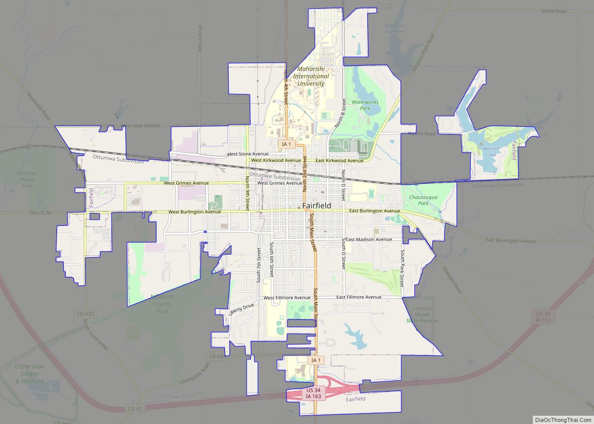
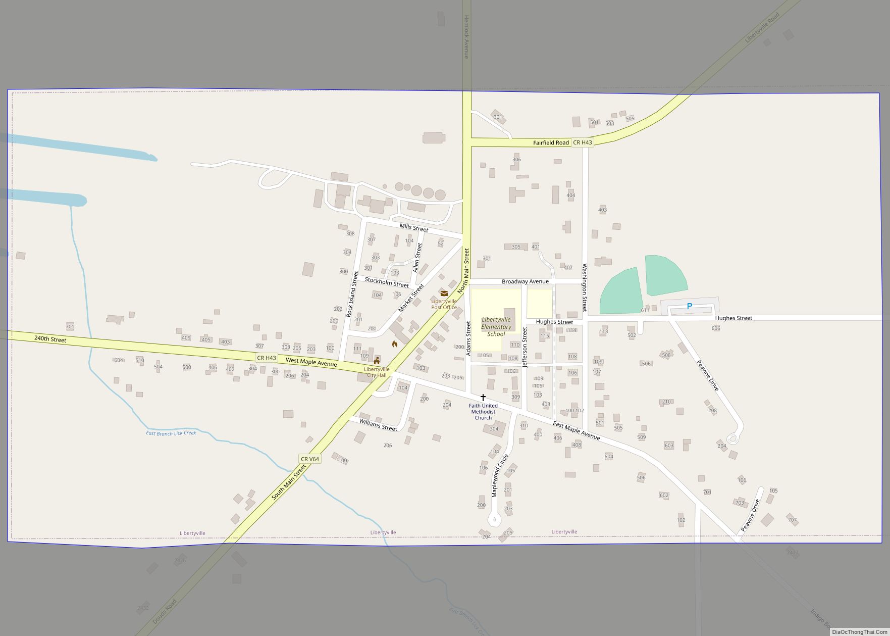
Fairfield Road Map
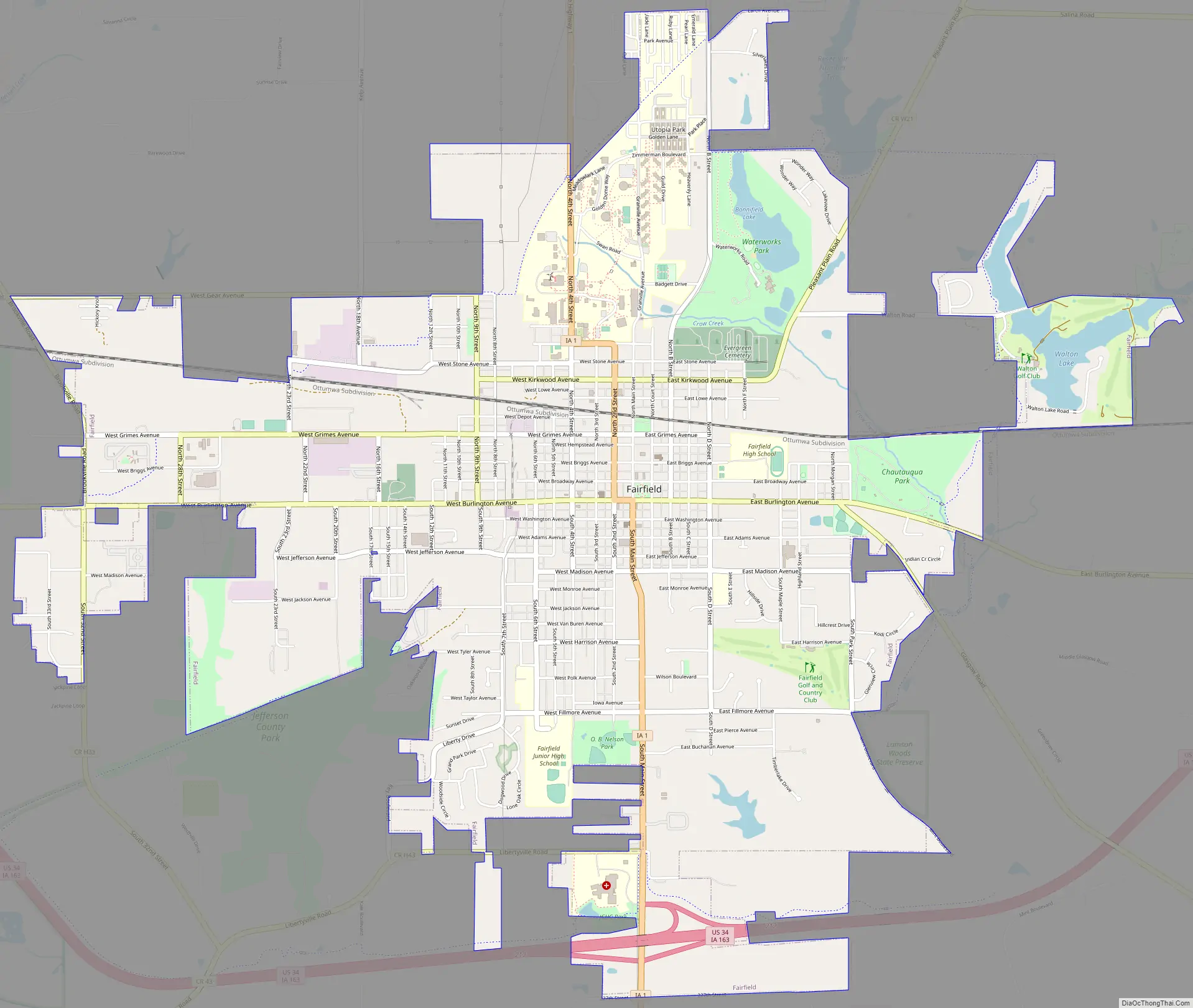
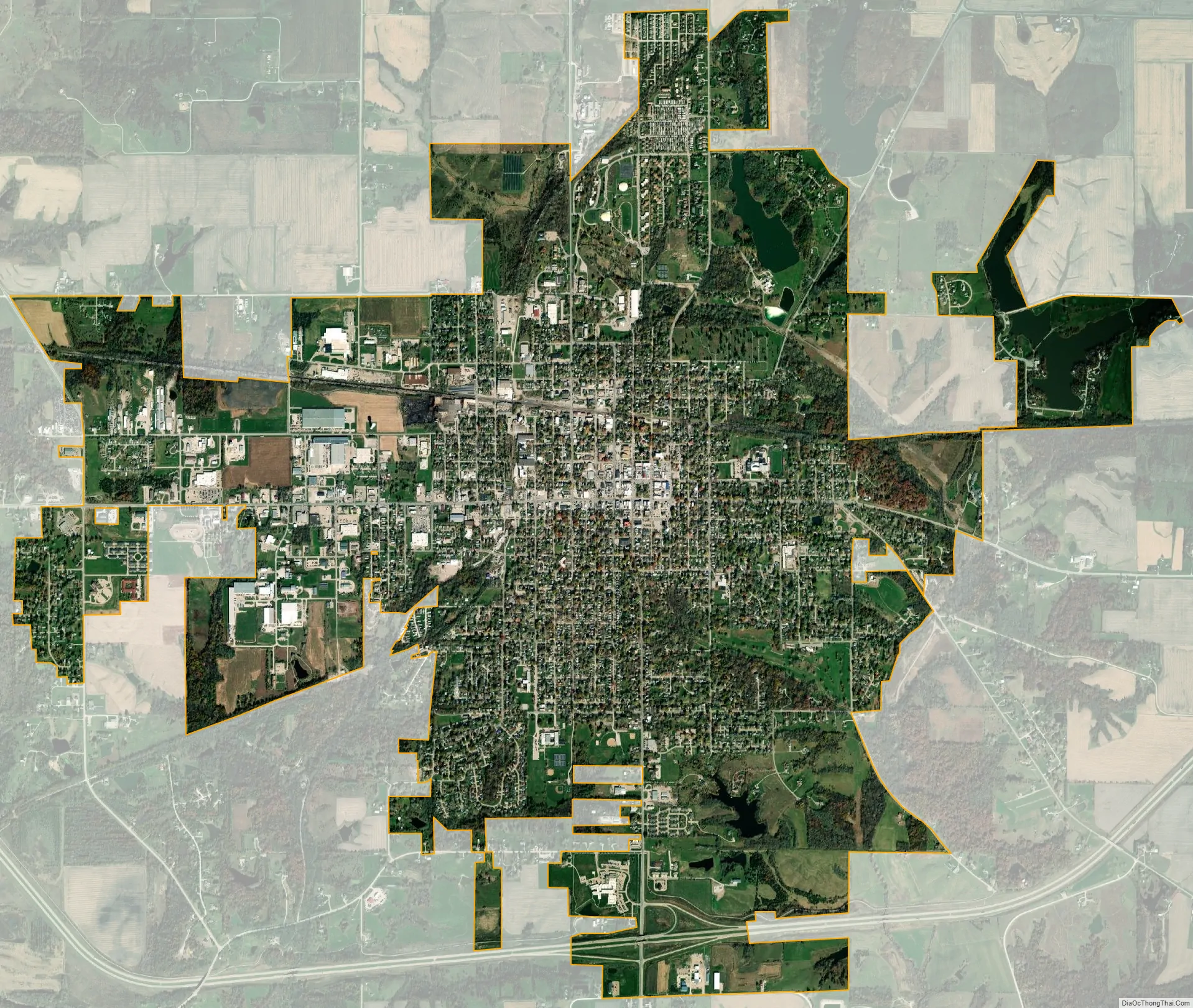
Fairfield city Satellite Map
Geography
Fairfield’s geography is typical of the American Midwest: around the city is rolling farmland specializing in corn, soybeans, cattle and hogs. Running west–east through the city is U.S. Route 34; the city of Burlington is to the east and Ottumwa to the west. Iowa Highway 1 runs from north to south through Fairfield, leading north to Iowa City and south to the Missouri state border.
According to the United States Census Bureau, the city has a total area of 6.42 square miles (16.63 km), of which 6.26 square miles (16.21 km) is land and 0.16 square miles (0.41 km) is water.
See also
Map of Iowa State and its subdivision:- Adair
- Adams
- Allamakee
- Appanoose
- Audubon
- Benton
- Black Hawk
- Boone
- Bremer
- Buchanan
- Buena Vista
- Butler
- Calhoun
- Carroll
- Cass
- Cedar
- Cerro Gordo
- Cherokee
- Chickasaw
- Clarke
- Clay
- Clayton
- Clinton
- Crawford
- Dallas
- Davis
- Decatur
- Delaware
- Des Moines
- Dickinson
- Dubuque
- Emmet
- Fayette
- Floyd
- Franklin
- Fremont
- Greene
- Grundy
- Guthrie
- Hamilton
- Hancock
- Hardin
- Harrison
- Henry
- Howard
- Humboldt
- Ida
- Iowa
- Jackson
- Jasper
- Jefferson
- Johnson
- Jones
- Keokuk
- Kossuth
- Lee
- Linn
- Louisa
- Lucas
- Lyon
- Madison
- Mahaska
- Marion
- Marshall
- Mills
- Mitchell
- Monona
- Monroe
- Montgomery
- Muscatine
- O'Brien
- Osceola
- Page
- Palo Alto
- Plymouth
- Pocahontas
- Polk
- Pottawattamie
- Poweshiek
- Ringgold
- Sac
- Scott
- Shelby
- Sioux
- Story
- Tama
- Taylor
- Union
- Van Buren
- Wapello
- Warren
- Washington
- Wayne
- Webster
- Winnebago
- Winneshiek
- Woodbury
- Worth
- Wright
- Alabama
- Alaska
- Arizona
- Arkansas
- California
- Colorado
- Connecticut
- Delaware
- District of Columbia
- Florida
- Georgia
- Hawaii
- Idaho
- Illinois
- Indiana
- Iowa
- Kansas
- Kentucky
- Louisiana
- Maine
- Maryland
- Massachusetts
- Michigan
- Minnesota
- Mississippi
- Missouri
- Montana
- Nebraska
- Nevada
- New Hampshire
- New Jersey
- New Mexico
- New York
- North Carolina
- North Dakota
- Ohio
- Oklahoma
- Oregon
- Pennsylvania
- Rhode Island
- South Carolina
- South Dakota
- Tennessee
- Texas
- Utah
- Vermont
- Virginia
- Washington
- West Virginia
- Wisconsin
- Wyoming