Estherville is a city in Emmet County, Iowa, United States. The population was 5,904 in the 2020 census, a decline from 6,656 at the 2000 census. It is the county seat of Emmet County.
| Name: | Estherville city |
|---|---|
| LSAD Code: | 25 |
| LSAD Description: | city (suffix) |
| State: | Iowa |
| County: | Emmet County |
| Elevation: | 1,296 ft (395 m) |
| Total Area: | 5.39 sq mi (13.95 km²) |
| Land Area: | 5.39 sq mi (13.95 km²) |
| Water Area: | 0.00 sq mi (0.00 km²) |
| Total Population: | 5,904 |
| Population Density: | 1,095.97/sq mi (423.17/km²) |
| ZIP code: | 51334 |
| Area code: | 712 |
| FIPS code: | 1925860 |
| GNISfeature ID: | 0456397 |
| Website: | http://www.cityofestherville.org |
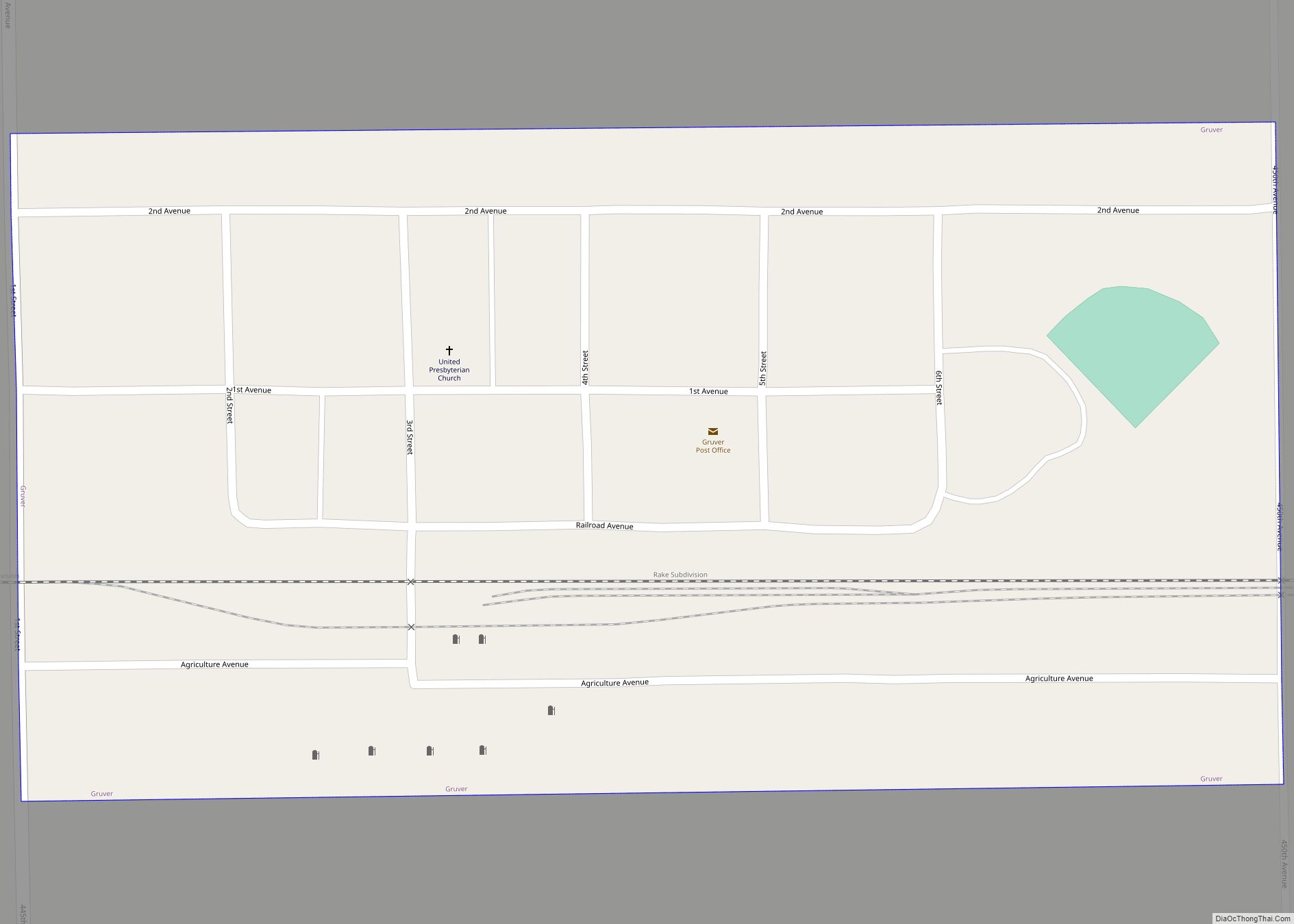
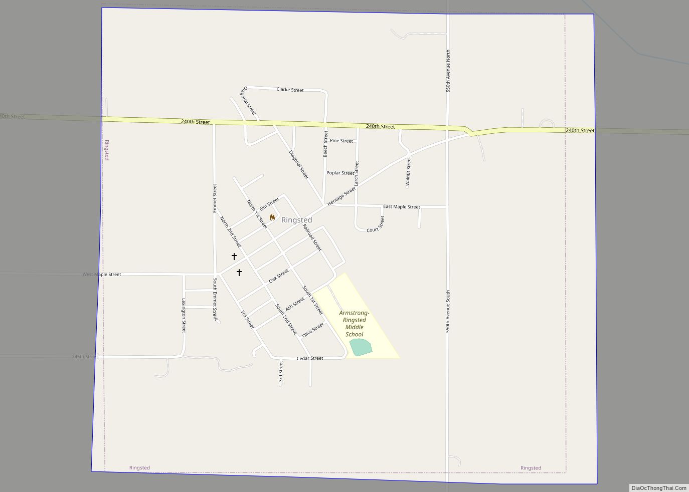
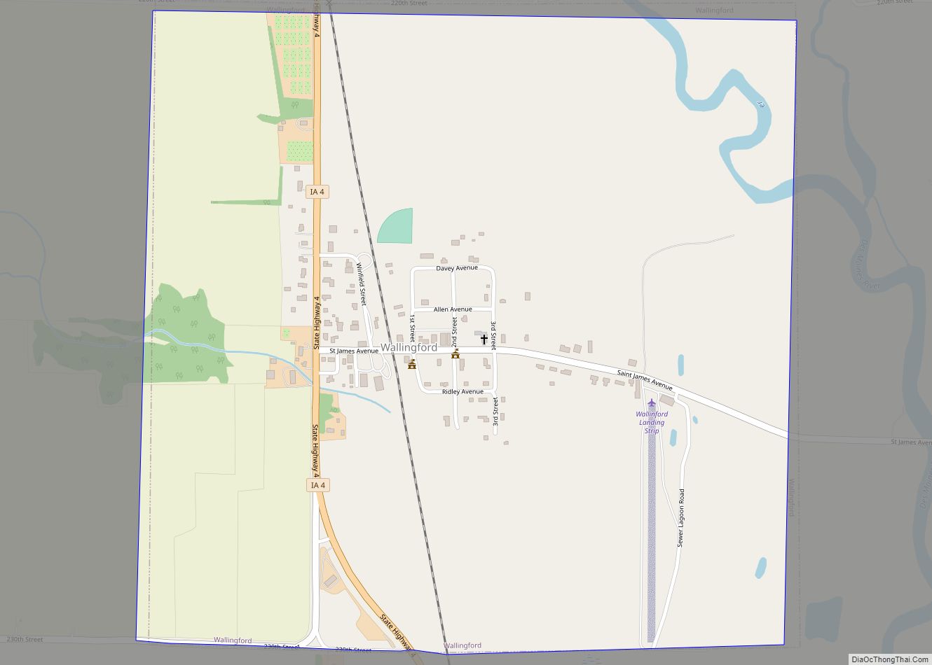
Online Interactive Map
Click on ![]() to view map in "full screen" mode.
to view map in "full screen" mode.
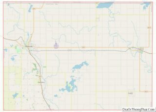
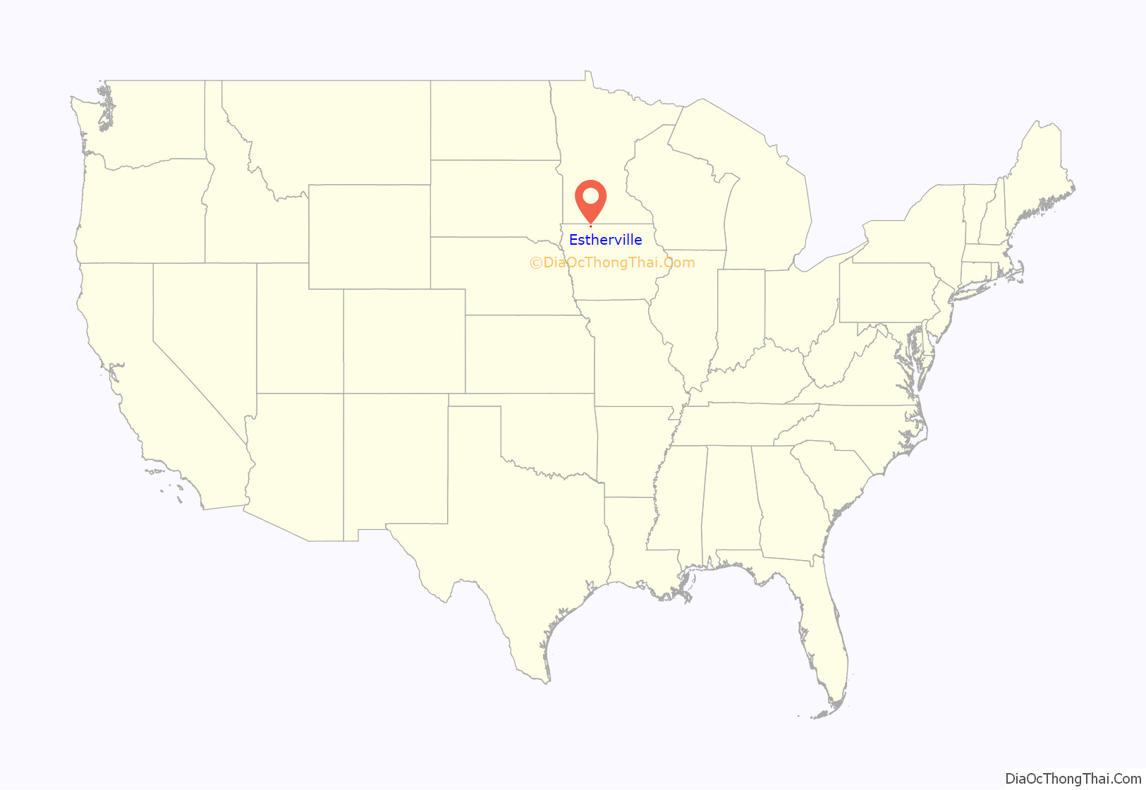
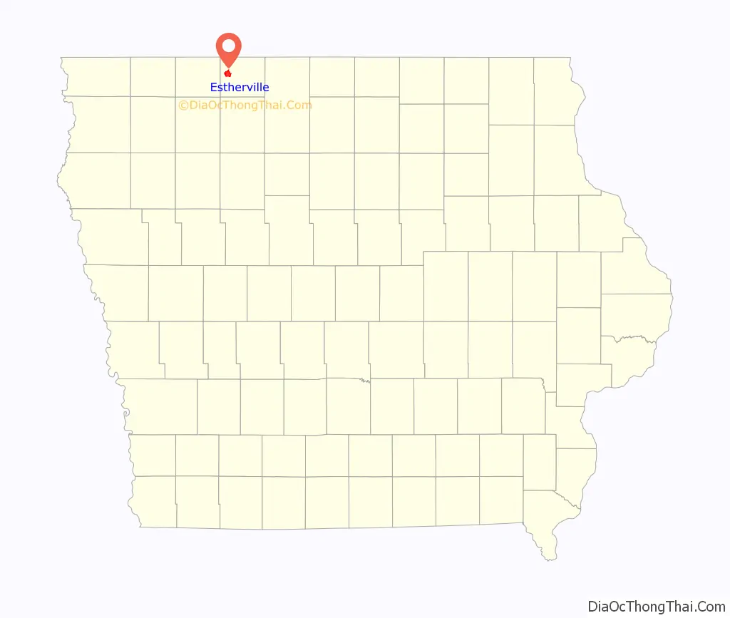
Estherville location map. Where is Estherville city?
History
Emmet County was initially created by an act of the Iowa Legislature in 1851. The area that is now Estherville witnessed the arrival of its first settlers around 1856 and into 1857. The city was selected as the county seat in 1859, and was eventually incorporated in 1881.
Estherville was named after Esther A. Ridley, one of the first white female settlers in the area. Many of Estherville’s current residents are the descendants of the original Scandinavian, German and Irish immigrants that arrived in the community in the 1870s.
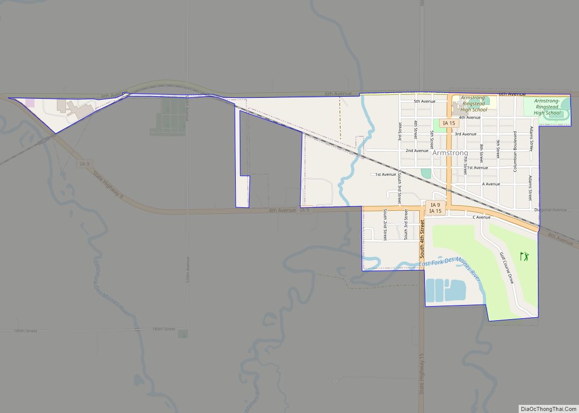
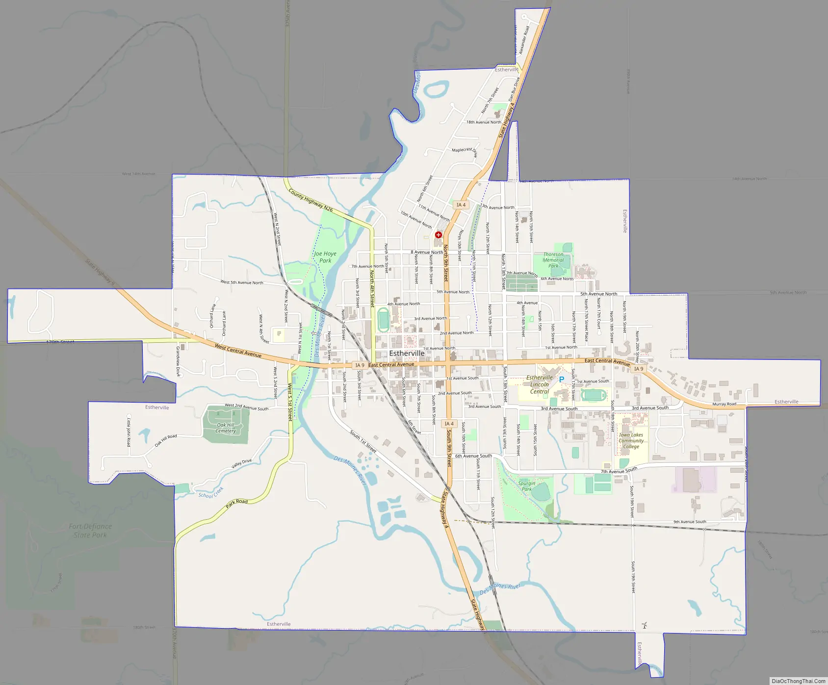
Estherville Road Map
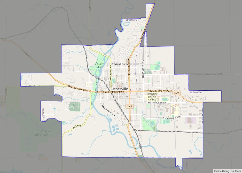
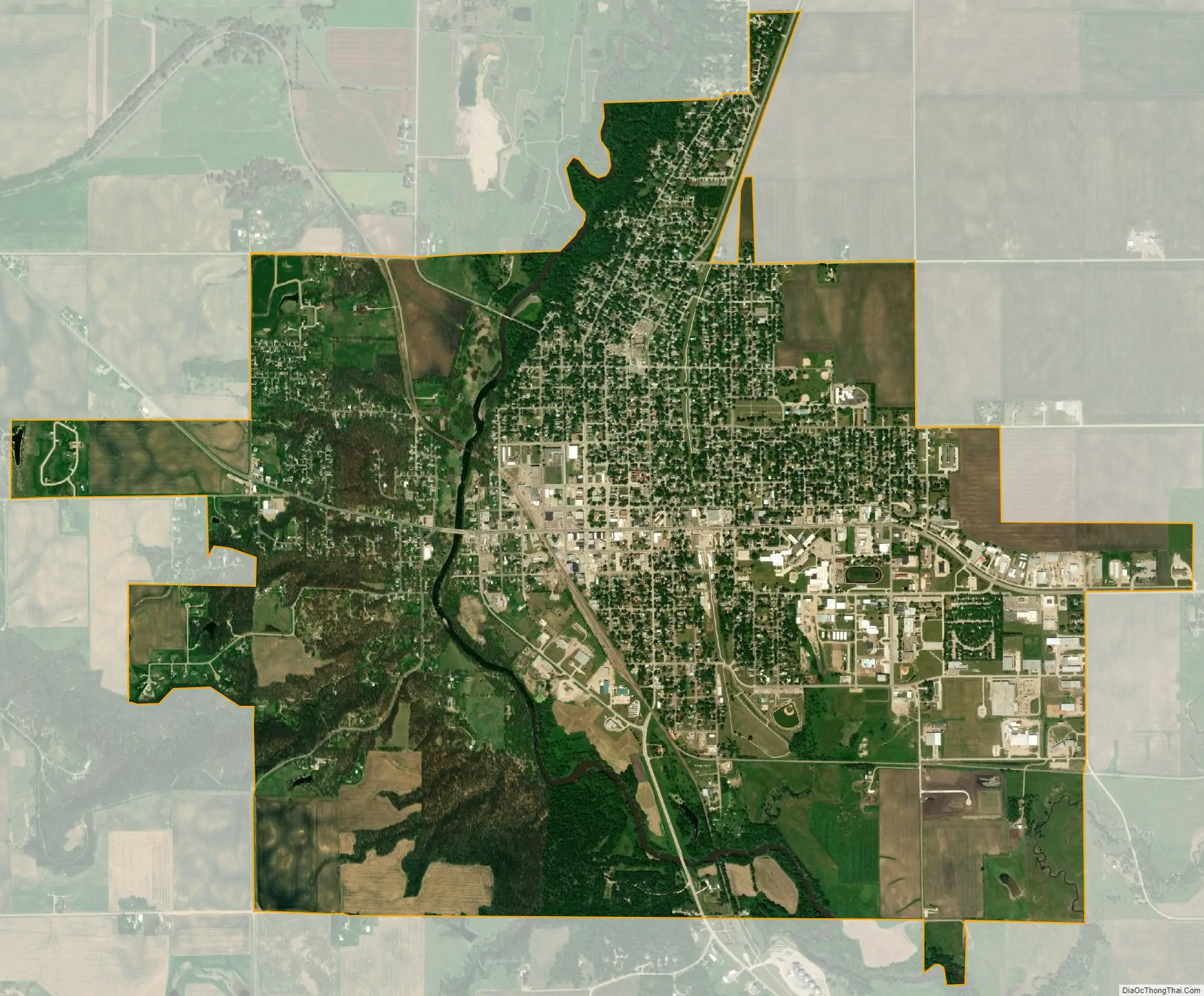
Estherville city Satellite Map
Geography
Estherville’s longitude and latitude coordinates in decimal form are 43.404375, -94.833592.
According to the United States Census Bureau, the city has a total area of 5.32 square miles (13.78 km), all land.
Estherville is near Okoboji and Spirit Lake.
See also
Map of Iowa State and its subdivision:- Adair
- Adams
- Allamakee
- Appanoose
- Audubon
- Benton
- Black Hawk
- Boone
- Bremer
- Buchanan
- Buena Vista
- Butler
- Calhoun
- Carroll
- Cass
- Cedar
- Cerro Gordo
- Cherokee
- Chickasaw
- Clarke
- Clay
- Clayton
- Clinton
- Crawford
- Dallas
- Davis
- Decatur
- Delaware
- Des Moines
- Dickinson
- Dubuque
- Emmet
- Fayette
- Floyd
- Franklin
- Fremont
- Greene
- Grundy
- Guthrie
- Hamilton
- Hancock
- Hardin
- Harrison
- Henry
- Howard
- Humboldt
- Ida
- Iowa
- Jackson
- Jasper
- Jefferson
- Johnson
- Jones
- Keokuk
- Kossuth
- Lee
- Linn
- Louisa
- Lucas
- Lyon
- Madison
- Mahaska
- Marion
- Marshall
- Mills
- Mitchell
- Monona
- Monroe
- Montgomery
- Muscatine
- O'Brien
- Osceola
- Page
- Palo Alto
- Plymouth
- Pocahontas
- Polk
- Pottawattamie
- Poweshiek
- Ringgold
- Sac
- Scott
- Shelby
- Sioux
- Story
- Tama
- Taylor
- Union
- Van Buren
- Wapello
- Warren
- Washington
- Wayne
- Webster
- Winnebago
- Winneshiek
- Woodbury
- Worth
- Wright
- Alabama
- Alaska
- Arizona
- Arkansas
- California
- Colorado
- Connecticut
- Delaware
- District of Columbia
- Florida
- Georgia
- Hawaii
- Idaho
- Illinois
- Indiana
- Iowa
- Kansas
- Kentucky
- Louisiana
- Maine
- Maryland
- Massachusetts
- Michigan
- Minnesota
- Mississippi
- Missouri
- Montana
- Nebraska
- Nevada
- New Hampshire
- New Jersey
- New Mexico
- New York
- North Carolina
- North Dakota
- Ohio
- Oklahoma
- Oregon
- Pennsylvania
- Rhode Island
- South Carolina
- South Dakota
- Tennessee
- Texas
- Utah
- Vermont
- Virginia
- Washington
- West Virginia
- Wisconsin
- Wyoming