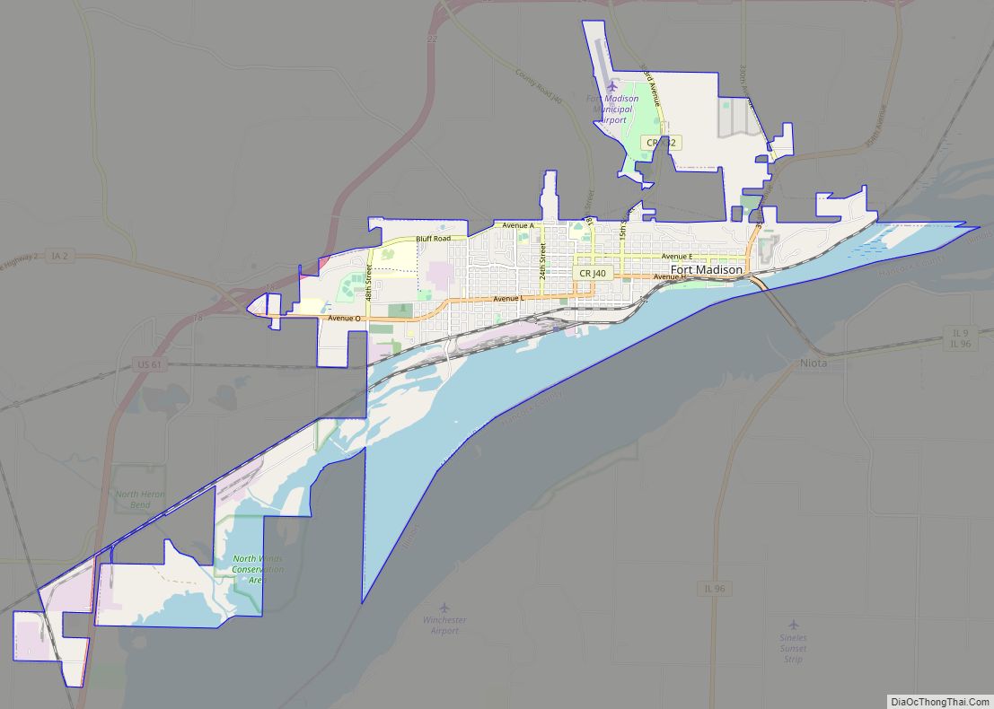
Fort Madison is a city and a county seat of Lee County, Iowa, United States along with Keokuk. Of Iowa’s 99 counties, Lee County is the only one with two county seats. The population was 10,270 at the time of the 2020 census. Located along the Mississippi River in the state’s southeast corner, it lies ... Read more
Iowa Cities and Places
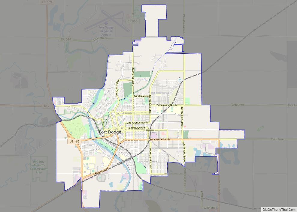
Fort Dodge is a city in and the county seat of Webster County, Iowa, United States, along the Des Moines River. The population was 24,871 in the 2020 census, a decrease from 25,136 in 2000. Fort Dodge is a major commercial center for North Central and Northwest Iowa. It is located on U.S. Routes 20 ... Read more
Fraser is a city in Dodge Township, Boone County, Iowa. The population was 101 at the time of the 2020 census. It is part of the Boone, Iowa Micropolitan Statistical Area, which is a part of the larger Ames–Boone Combined Statistical Area. The city is located along the Des Moines River. Fraser city overview: Name: ... Read more
Franklin is a city in Lee County, Iowa, United States. Franklin is noted for its stone and brick Federal architecture, uncommon in Iowa. The population was 131 at the time of the 2020 census. It is part of the Fort Madison–Keokuk, IA-MO Micropolitan Statistical Area. Franklin city overview: Name: Franklin city LSAD Code: 25 LSAD ... Read more
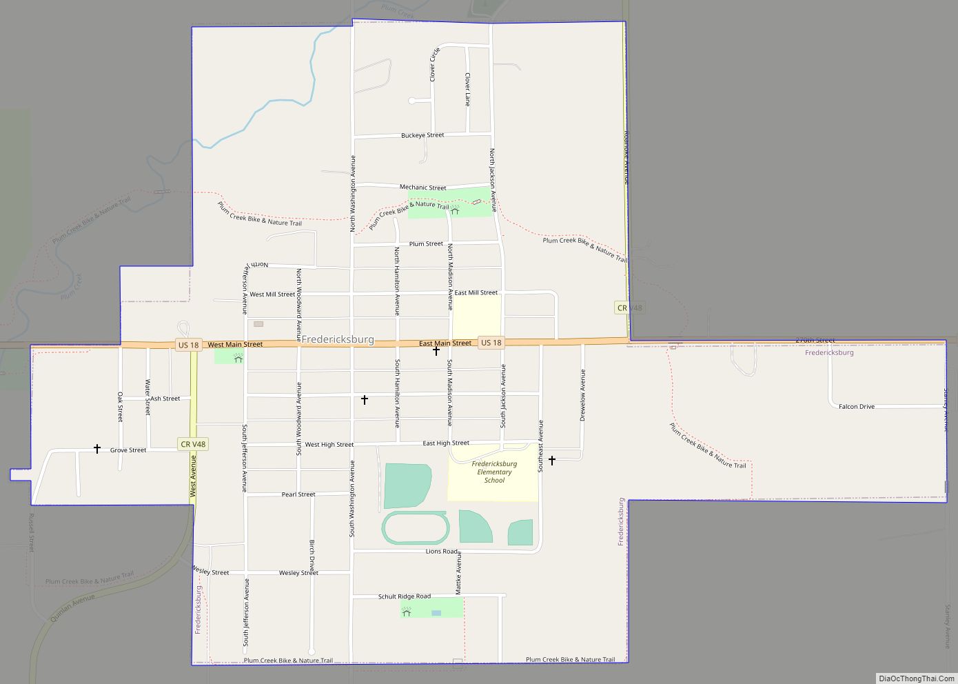
Fredericksburg is a city in Chickasaw County, Iowa, United States. The population was 987 at the time of the 2020 census. Fredericksburg city overview: Name: Fredericksburg city LSAD Code: 25 LSAD Description: city (suffix) State: Iowa County: Chickasaw County Elevation: 1,076 ft (328 m) Total Area: 0.90 sq mi (2.33 km²) Land Area: 0.90 sq mi (2.33 km²) Water Area: 0.00 sq mi (0.00 km²) Total ... Read more
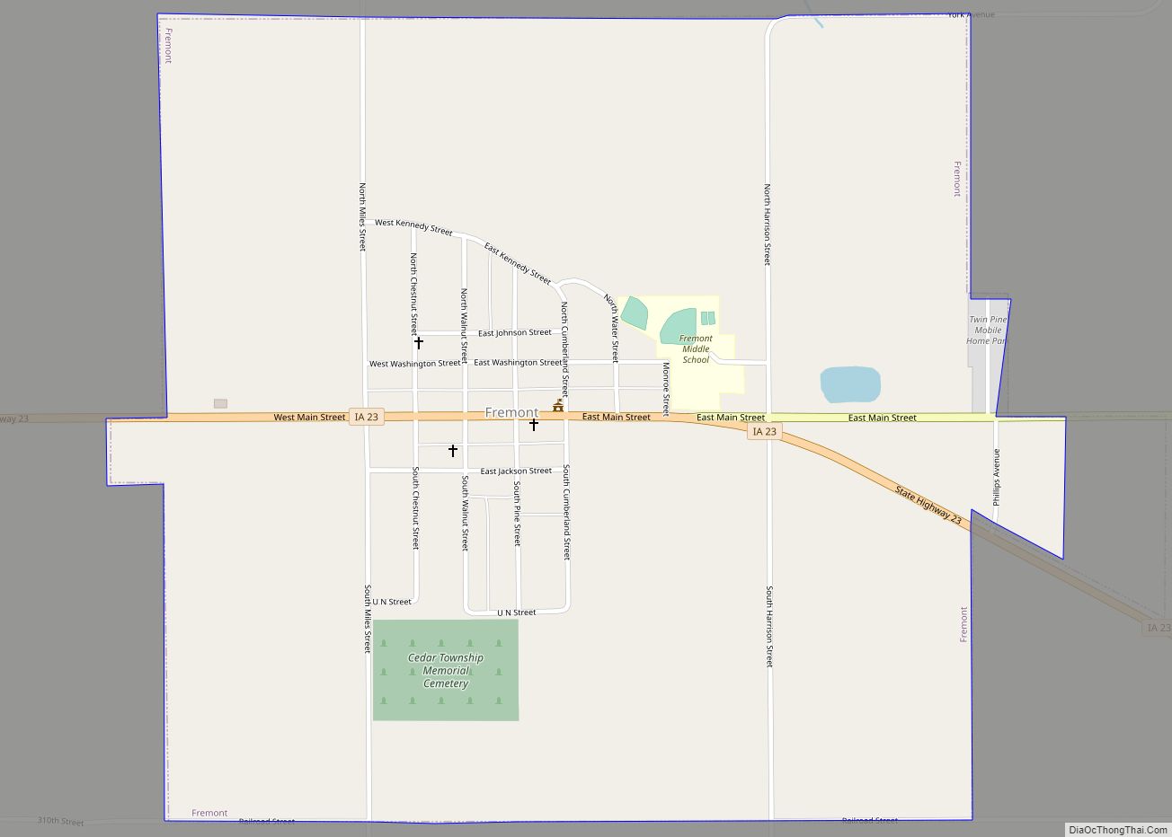
Fremont is a city in Mahaska County, Iowa, United States. The population was 708 at the time of the 2020 census. Fremont city overview: Name: Fremont city LSAD Code: 25 LSAD Description: city (suffix) State: Iowa County: Mahaska County Elevation: 837 ft (255 m) Total Area: 1.06 sq mi (2.75 km²) Land Area: 1.06 sq mi (2.75 km²) Water Area: 0.00 sq mi (0.00 km²) Total ... Read more
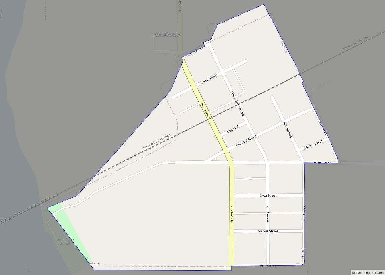
Fredonia is a city in Louisa County, Iowa, United States. The population was 222 at the time of the 2020 census. It is part of the Muscatine Micropolitan Statistical Area. Fredonia city overview: Name: Fredonia city LSAD Code: 25 LSAD Description: city (suffix) State: Iowa County: Louisa County Elevation: 594 ft (181 m) Total Area: 0.15 sq mi (0.39 km²) ... Read more
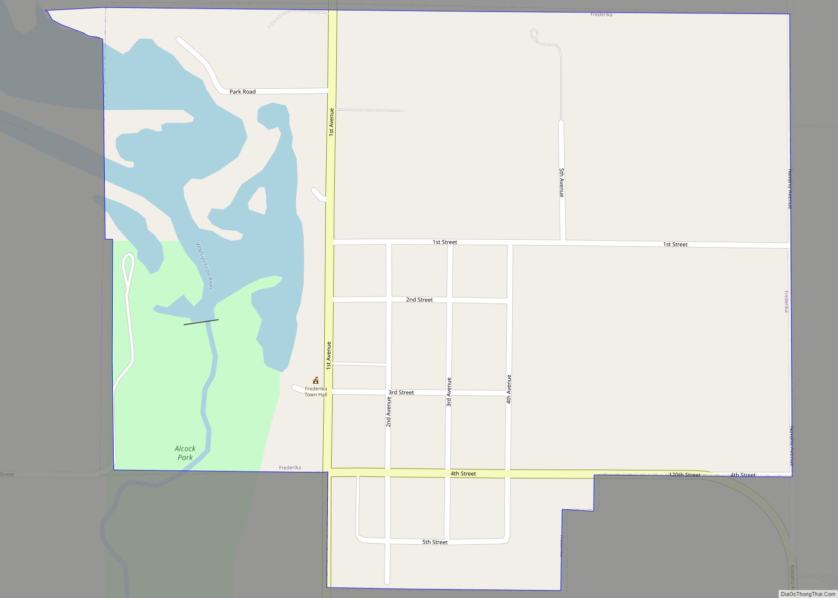
Frederika is a city in Bremer County, Iowa, United States. The population was 204 at the time of the 2020 census. It is named for Fredrika Bremer (note different spelling), the Swedish author, for whom the surrounding county was also named. Frederika is part of the Waterloo–Cedar Falls Metropolitan Statistical Area. Frederika city overview: Name: ... Read more
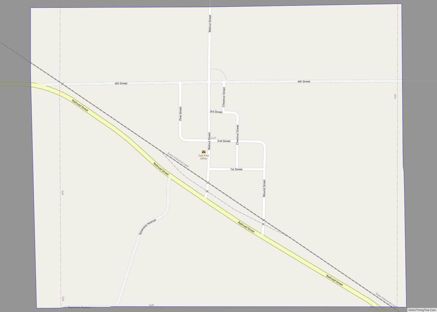
Galt is a city in Wright County, Iowa, United States. The population was 26 at the time of the 2020 census. Galt city overview: Name: Galt city LSAD Code: 25 LSAD Description: city (suffix) State: Iowa County: Wright County Elevation: 1,204 ft (367 m) Total Area: 0.56 sq mi (1.44 km²) Land Area: 0.56 sq mi (1.44 km²) Water Area: 0.00 sq mi (0.00 km²) Total ... Read more
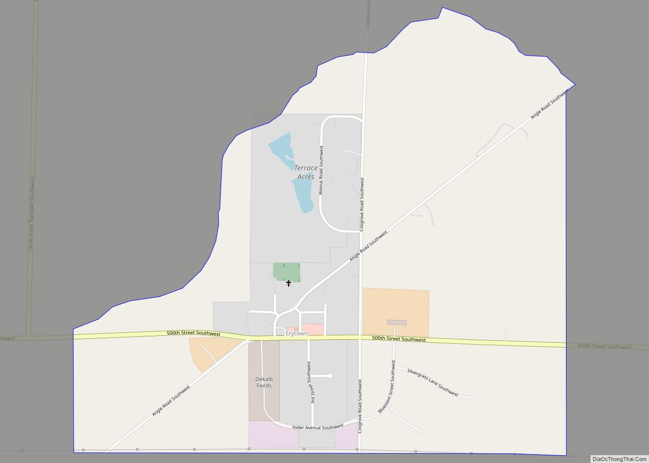
Frytown is an unincorporated community and census-designated place in Johnson County, Iowa, United States, approximately 10 miles southwest of Iowa City. The town has been known as Frytown since the 19th century, and is listed as such on state maps; the USGS once called it Williamstown, though it has since changed the name. Frytown Conservation ... Read more
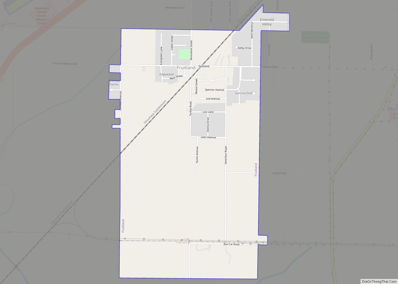
Fruitland is a city in Muscatine County, Iowa, United States. The population was 963 at the time of the 2020 census. It is part of the Muscatine Micropolitan Statistical Area. Fruitland city overview: Name: Fruitland city LSAD Code: 25 LSAD Description: city (suffix) State: Iowa County: Muscatine County Elevation: 541 ft (165 m) Total Area: 1.80 sq mi (4.65 km²) ... Read more
Garden City is an unincorporated community and census-designated place in Hardin County, Iowa, United States. As of the 2010 Census, the population was 89. Garden City CDP overview: Name: Garden City CDP LSAD Code: 57 LSAD Description: CDP (suffix) State: Iowa County: Hardin County Total Area: 1.00 sq mi (2.58 km²) Land Area: 1.00 sq mi (2.58 km²) Water Area: 0.00 sq mi ... Read more
