Fort Dodge is a city in and the county seat of Webster County, Iowa, United States, along the Des Moines River. The population was 24,871 in the 2020 census, a decrease from 25,136 in 2000. Fort Dodge is a major commercial center for North Central and Northwest Iowa. It is located on U.S. Routes 20 and 169.
| Name: | Fort Dodge city |
|---|---|
| LSAD Code: | 25 |
| LSAD Description: | city (suffix) |
| State: | Iowa |
| County: | Webster County |
| Incorporated: | 1869 |
| Elevation: | 1,155 ft (352 m) |
| Total Area: | 16.27 sq mi (42.15 km²) |
| Land Area: | 16.01 sq mi (41.46 km²) |
| Water Area: | 0.27 sq mi (0.69 km²) |
| Total Population: | 24,871 |
| Population Density: | 1,553.66/sq mi (599.87/km²) |
| ZIP code: | 50501 |
| Area code: | 515 |
| FIPS code: | 1928515 |
| GNISfeature ID: | 0456686 |
| Website: | www.fortdodgeiowa.org |
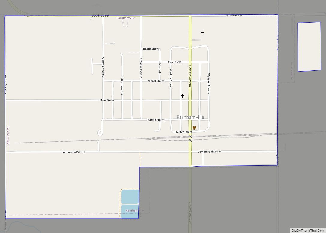
Online Interactive Map
Click on ![]() to view map in "full screen" mode.
to view map in "full screen" mode.
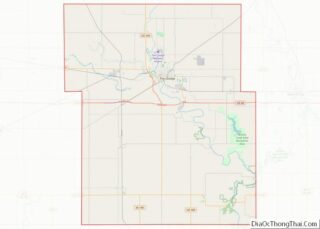
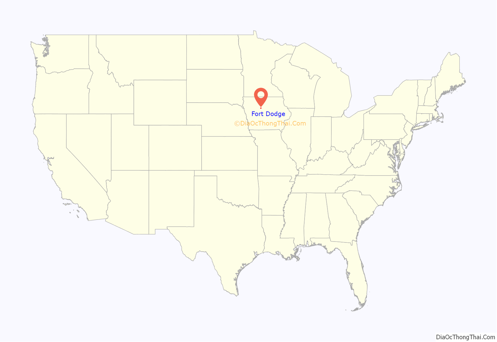
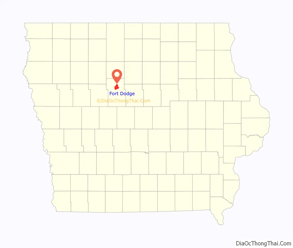
Fort Dodge location map. Where is Fort Dodge city?
History
Fort Dodge traces its beginnings to 1850 when E Company of the 6th Infantry were sent from Fort Snelling to erect and garrison a fort at the junction of the Des Moines River and Lizard Creek. It was originally named Fort Clarke but was renamed Fort Dodge because there was another fort with the same name in Texas. It was named after Henry Dodge, a governor of Wisconsin Territory (which had included Iowa until Iowa became a state in 1846). The fort was abandoned by the Army in 1853.
The next year William Willams, a civilian storekeeper in Fort Dodge, purchased the land and buildings of the old fort. The town of Fort Dodge was founded in 1869. In 1872 the long and continuing history of gypsum production in Iowa started when George Ringland, Webb Vincent, and Stillman T. Meservey formed the Fort Dodge Plaster Mills to mine, grind, and prepare gypsum for commercial use. The Company constructed the first gypsum mill west of the Mississippi River, at the head of what is now known as Gypsum Creek.
In 2018, Kris Patrick, Executive Director of Fort Dodge Main Street, stated that Fort Dodge is locally referred to as “Little Chicago” because architects modeled downtown buildings to resemble Chicago in the mid-1900s.
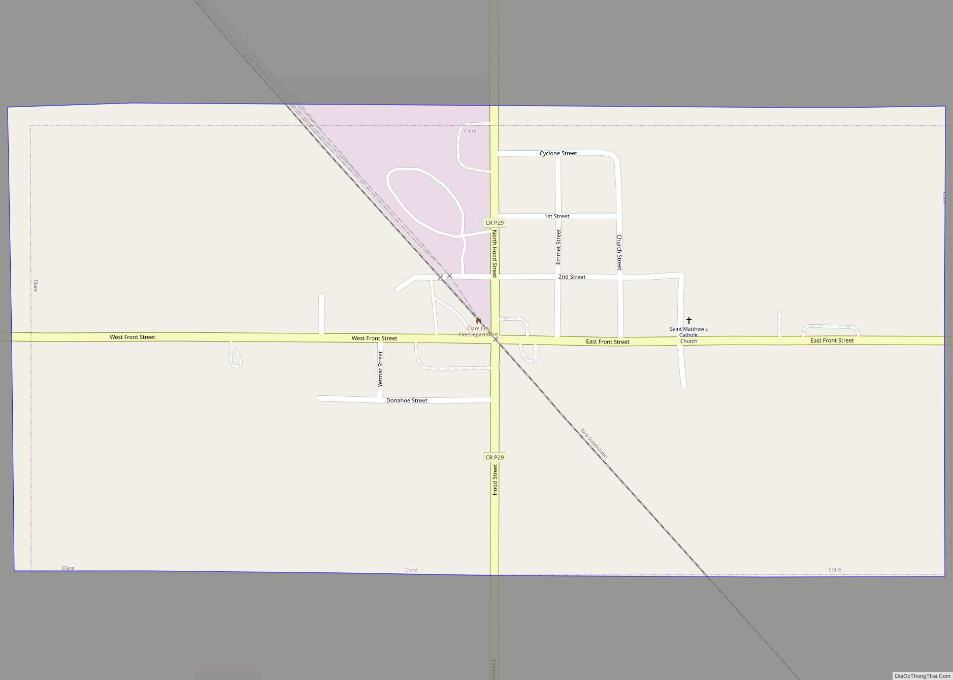
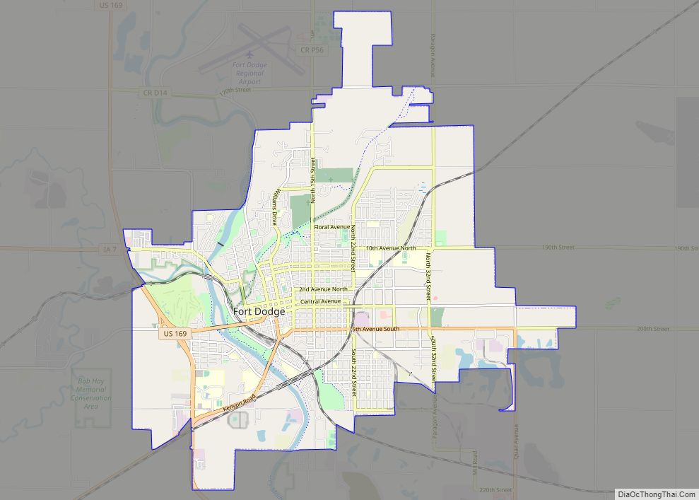
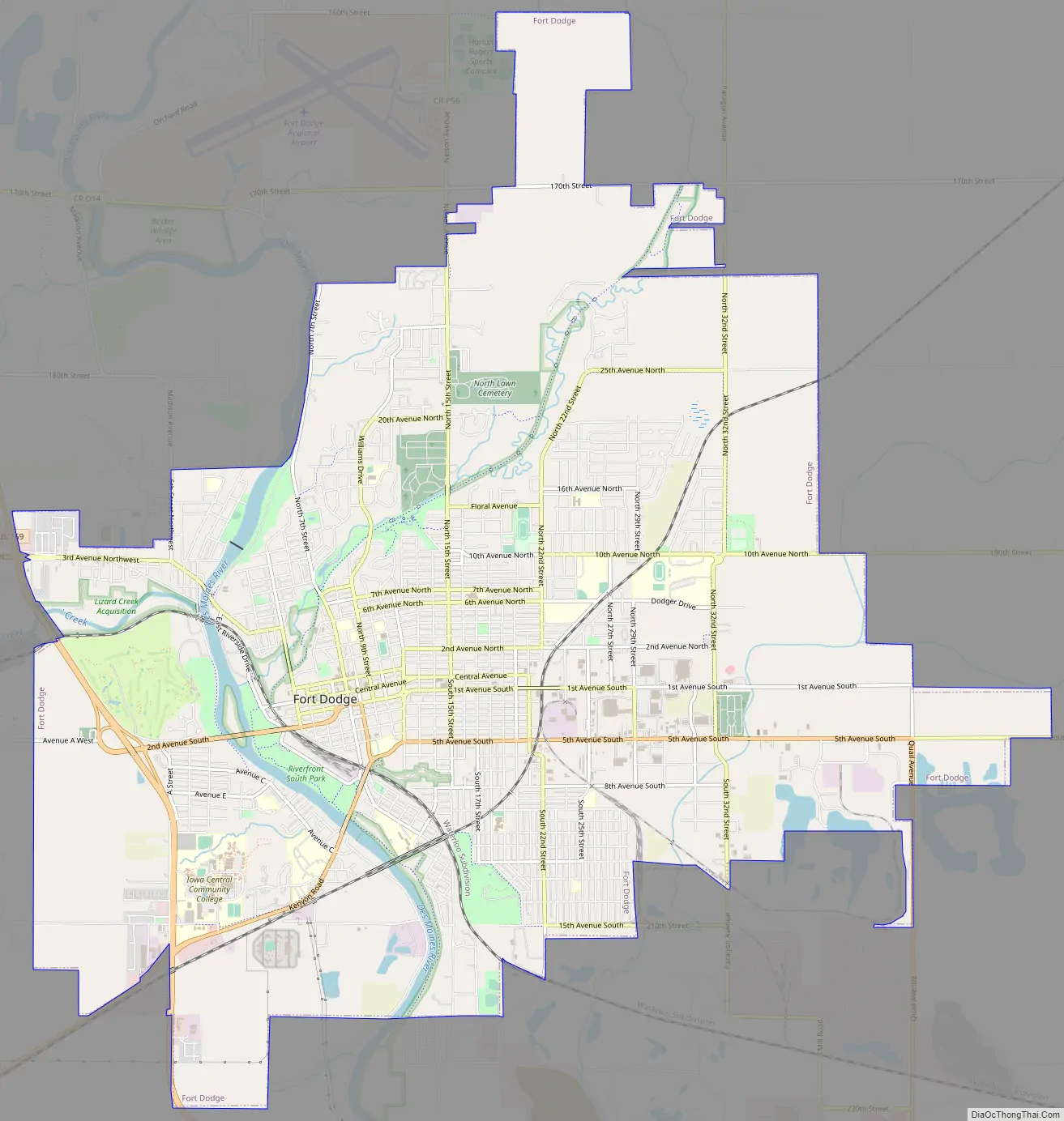
Fort Dodge Road Map
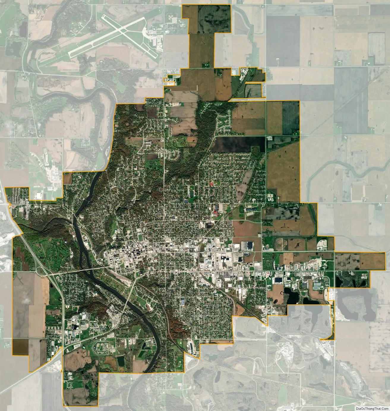
Fort Dodge city Satellite Map
Geography
Fort Dodge is located at 42°30′25″N 94°10′50″W / 42.50694°N 94.18056°W / 42.50694; -94.18056 (42.506803, −94.180271), on the Des Moines River.
According to the United States Census Bureau, the city has a total area of 16.31 square miles (42.24 km), of which 16.05 square miles (41.57 km) is land and 0.26 square miles (0.67 km) is water.
Climate
Fort Dodge has a Humid continental climate with cold winters and hot humid summers.
See also
Map of Iowa State and its subdivision:- Adair
- Adams
- Allamakee
- Appanoose
- Audubon
- Benton
- Black Hawk
- Boone
- Bremer
- Buchanan
- Buena Vista
- Butler
- Calhoun
- Carroll
- Cass
- Cedar
- Cerro Gordo
- Cherokee
- Chickasaw
- Clarke
- Clay
- Clayton
- Clinton
- Crawford
- Dallas
- Davis
- Decatur
- Delaware
- Des Moines
- Dickinson
- Dubuque
- Emmet
- Fayette
- Floyd
- Franklin
- Fremont
- Greene
- Grundy
- Guthrie
- Hamilton
- Hancock
- Hardin
- Harrison
- Henry
- Howard
- Humboldt
- Ida
- Iowa
- Jackson
- Jasper
- Jefferson
- Johnson
- Jones
- Keokuk
- Kossuth
- Lee
- Linn
- Louisa
- Lucas
- Lyon
- Madison
- Mahaska
- Marion
- Marshall
- Mills
- Mitchell
- Monona
- Monroe
- Montgomery
- Muscatine
- O'Brien
- Osceola
- Page
- Palo Alto
- Plymouth
- Pocahontas
- Polk
- Pottawattamie
- Poweshiek
- Ringgold
- Sac
- Scott
- Shelby
- Sioux
- Story
- Tama
- Taylor
- Union
- Van Buren
- Wapello
- Warren
- Washington
- Wayne
- Webster
- Winnebago
- Winneshiek
- Woodbury
- Worth
- Wright
- Alabama
- Alaska
- Arizona
- Arkansas
- California
- Colorado
- Connecticut
- Delaware
- District of Columbia
- Florida
- Georgia
- Hawaii
- Idaho
- Illinois
- Indiana
- Iowa
- Kansas
- Kentucky
- Louisiana
- Maine
- Maryland
- Massachusetts
- Michigan
- Minnesota
- Mississippi
- Missouri
- Montana
- Nebraska
- Nevada
- New Hampshire
- New Jersey
- New Mexico
- New York
- North Carolina
- North Dakota
- Ohio
- Oklahoma
- Oregon
- Pennsylvania
- Rhode Island
- South Carolina
- South Dakota
- Tennessee
- Texas
- Utah
- Vermont
- Virginia
- Washington
- West Virginia
- Wisconsin
- Wyoming