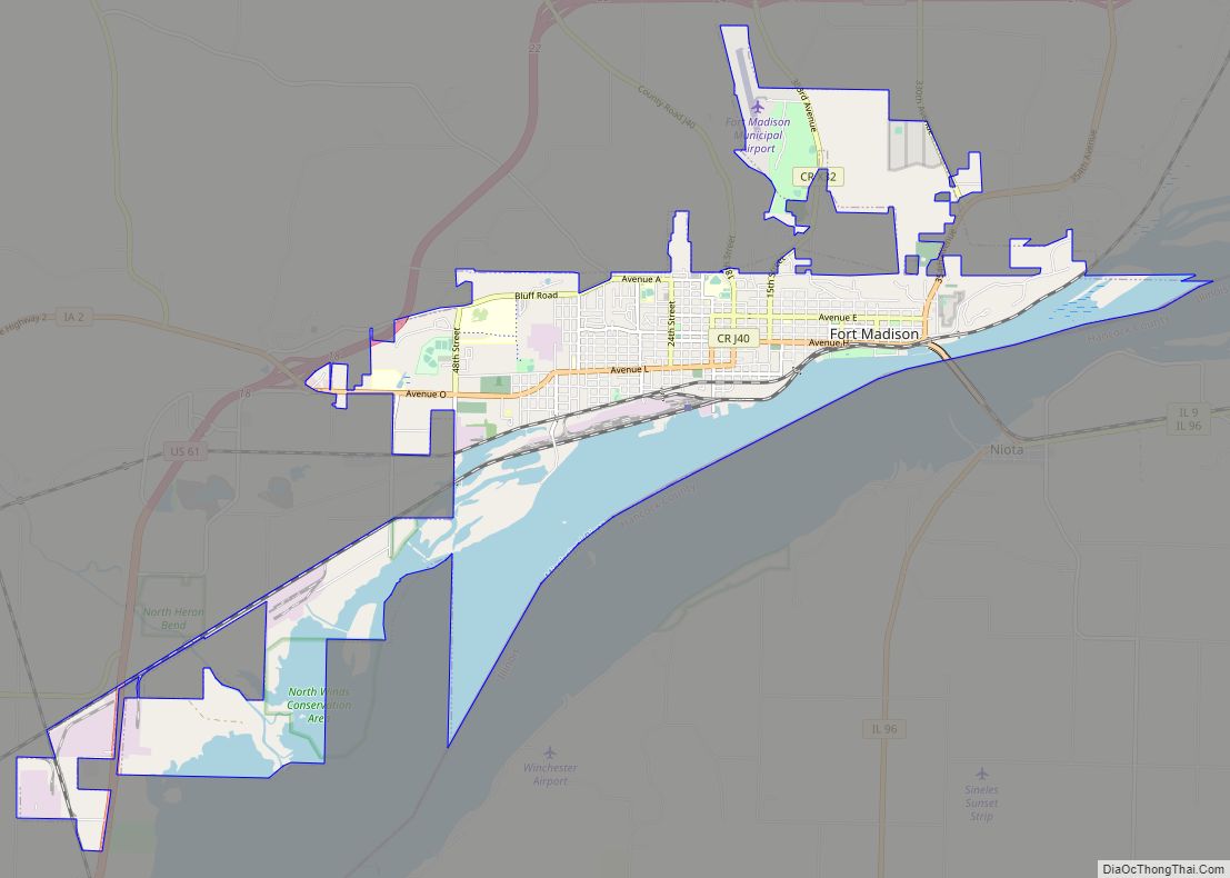
Fort Madison is a city and a county seat of Lee County, Iowa, United States along with Keokuk. Of Iowa’s 99 counties, Lee County is the only one with two county seats. The population was 10,270 at the time of the 2020 census. Located along the Mississippi River in the state’s southeast corner, it lies between small bluffs along one of the widest portions of the river.
| Name: | Fort Madison city |
|---|---|
| LSAD Code: | 25 |
| LSAD Description: | city (suffix) |
| State: | Iowa |
| County: | Lee County |
| Founded: | 1835 |
| Elevation: | 525 ft (160 m) |
| Total Area: | 13.24 sq mi (34.29 km²) |
| Land Area: | 9.64 sq mi (24.98 km²) |
| Water Area: | 3.60 sq mi (9.32 km²) |
| Total Population: | 10,270 |
| Population Density: | 1,064.91/sq mi (411.16/km²) |
| ZIP code: | 52627 |
| Area code: | 319 |
| FIPS code: | 1928605 |
| GNISfeature ID: | 0456689 |
| Website: | www.fortmadison-ia.com |
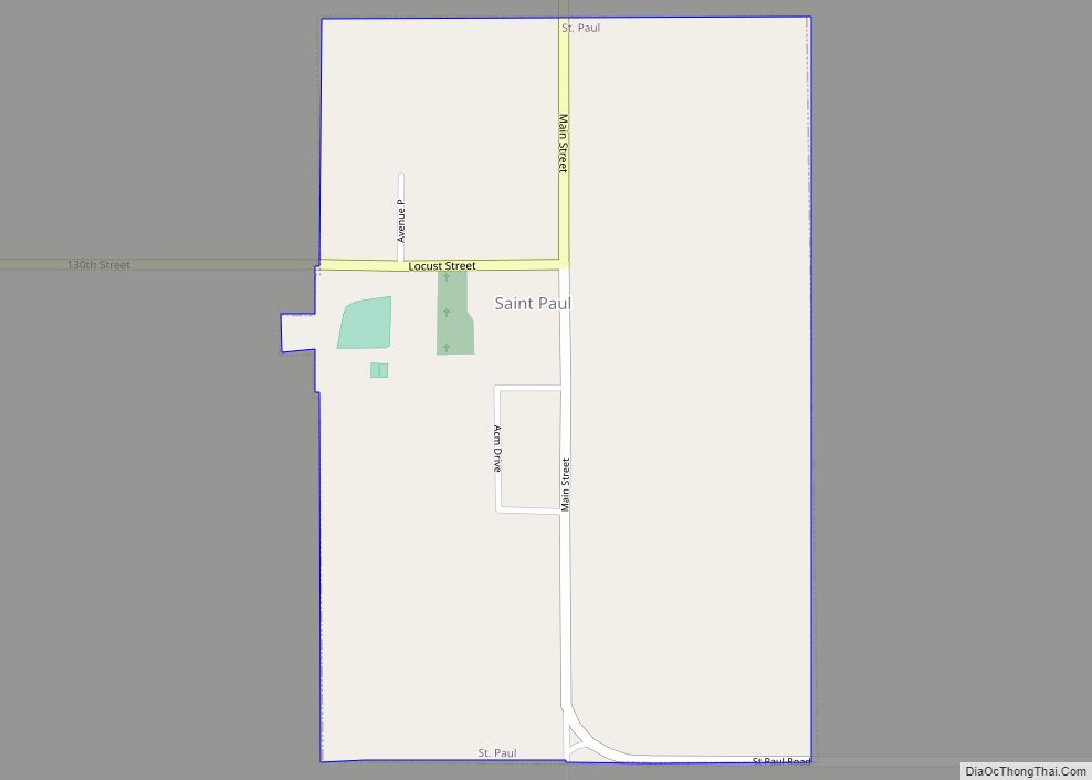
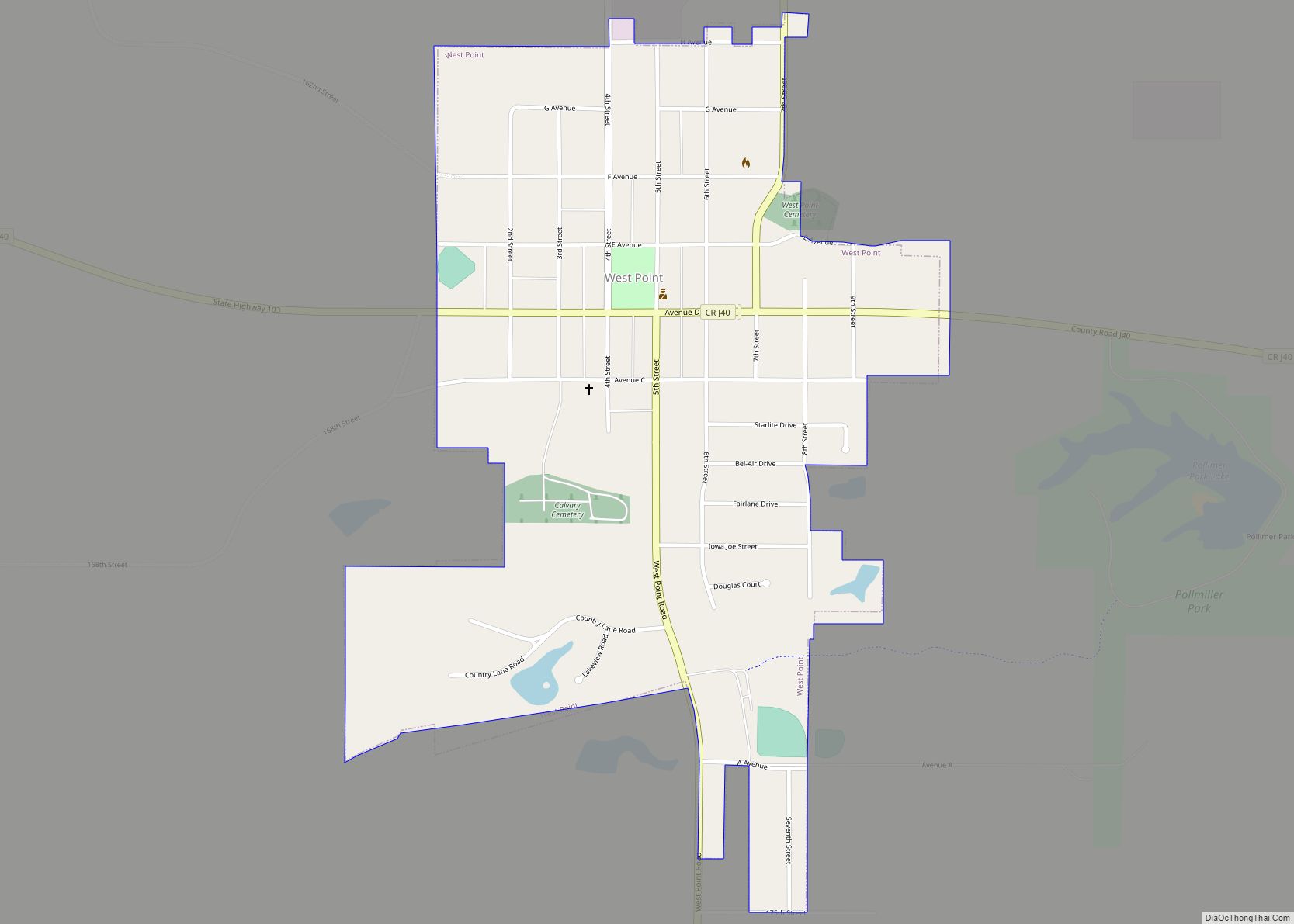
Online Interactive Map
Click on ![]() to view map in "full screen" mode.
to view map in "full screen" mode.
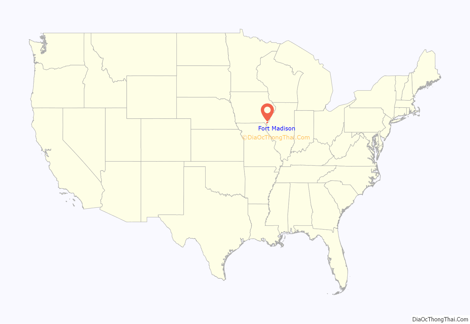
Fort Madison location map. Where is Fort Madison city?
History
Fort Madison was founded as the location of the first U.S. military fort in the upper Mississippi region. A replica of the fort stands along the river. Sheaffer Pens were developed and made in Fort Madison for many years. The city is the location of the Iowa State Penitentiary—the state’s maximum security prison for men. Fort Madison is the Mississippi river crossing and station stop for Amtrak’s Southwest Chief. Fort Madison has the last remaining double swing-span bridge on the Mississippi River, the Fort Madison Toll Bridge. It has a top level for cars and a similar level for trains; it is also the world’s largest [1].
The Fort Madison Downtown Commercial Historic District is a collection of well-preserved historic storefronts from the late 19th century. Along with this is the Park-to-Park Residential Historic District. The Historic Park to Park District is a seven block long, three block wide section of homes that represent the Gothic, Victorian, and Tudor era. With a rich variety of architectural styles like Gothic Revival, Italianate, Second Empire, Eastlake Stick, Richardson Romanesque, Queen Anne, and Tudor. With two of the six parks within the District. It is on the National Historic Registry.
The Original Fort Madison (1808–1813)
The city of Fort Madison was established around the site of the historic Fort Madison (1808–1813), which was the first permanent U.S. military fortification on the Upper Mississippi. Fort Madison was the site of Black Hawk’s first battle against U.S. troops, the only real War of 1812 battle fought west of the Mississippi. It was also the location of the first U.S. military cemetery in the upper Midwest. The fort was named for James Madison, fourth President of the United States.
Fort Madison was one of three posts established by the U.S. Army to establish control over the newly acquired Louisiana Purchase territories. Fort Madison was built to control trade and pacify Native Americans in the Upper Mississippi River region. The other two posts were Fort Belle Fontaine near St. Louis, which controlled the mouth of the Missouri, and Fort Osage, near what is now Kansas City, which controlled trade with western Native American tribes.
A disputed 1804 treaty with the Sauk and affiliated tribes led to the U.S. claim of control over western Illinois and parts of what is now Iowa. To establish control, the U.S. Army set out to construct a post near the mouth of the Des Moines River, a major trading route into the interior of Iowa. Not finding suitable land near the mouth of the Des Moines, the expedition also considered land near Quashquame’s Sauk and Meskwaki village at the head of the Des Moines Rapids, a choke point of trade and transportation on the Upper Mississippi below modern Montrose. Again, this land was not considered suitable for a fort. The Army settled on a location several miles upstream at what is now the city of Fort Madison.
First called Fort Belleview, this post was also soon deemed inadequate. It was poorly situated at the base of a bluff next to a deep ravine, areas from which enemies could safely fire at the fort. Its construction led to resentment among the local Native Americans, especially the Sauk: They considered the 1804 treaty invalid, the fort threatened established trading networks, and American trade goods were considered inferior to French or British goods.
Black Hawk lamented over the new fort, and disparaged its construction in his autobiography.
Almost from the beginning, the fort was attacked by Sauk and other tribes. U.S. troops were harassed when they left the fort, and in April 1809, only threat of cannon fire stopped an attempted storming of the fort.
During its existence, several improvements were made to the fort, including reinforcing the stockade and making it higher, extending the fort to a nearby bluff to provide cover from below, and constructing of additional blockhouses outside the stockade. These improvements could not fully compensate for the fort’s poor location, however, and it was again attacked in March 1812, and was the focus of a coordinated siege in the following September. The September siege was intense, and the fort was nearly overrun. Significant damage resulted to fort-related buildings, and the attack was only stopped when cannon fire destroyed a fortified Indian position. Black Hawk participated in the siege, and claimed to have personally shot down the fort’s flag.
As the War of 1812 expanded to the frontier, British-allied Sauk and other tribes began a determined effort to push out the Americans and reclaim control of the upper Mississippi. Beginning in July 1813, attacks on troops outside the fort led to another siege. Conditions were so dangerous that the Army could not recover the bodies of soldiers killed outside the fort and troops could not leave the fort to collect firewood. The Army burned outbuildings to prevent them from falling into Indian hands.
After weeks of paralyzing siege, the Army finally abandoned the post, burning it as they evacuated. They retreated in the dark through a trench to the river, where they escaped on boats. The date of the abandonment is unknown, as much of the military correspondence from this period of the war is missing, but it probably happened in September. Black Hawk observed the ruins soon after. “We started in canoes, and descended the Mississippi, until we arrived near the place where Fort Madison had stood. It had been abandoned and burned by the whites, and nothing remained but the chimneys. We were pleased to see that the white people had retired from the country.”
United States government had established a a federal fur trade station at Fort Madison in 1808. It was burned down in 1812 by order of the military commander who feared that it would endanger the fort.
Three active battalions of the current 3rd Infantry (1–3 Inf, 2–3 Inf and 4-3 Inf) perpetuate the lineage of the old 1st Infantry Regiment, which had a detachment at Fort Madison.
Early settlers built their homes near the ruins and named the town that grew up around them for the fort. A large monument was erected in the early 20th century at the fort location. Archaeological excavations in the parking lot of the Sheaffer Pen Company factory in 1965 exposed the fort’s central blockhouse and the foundations of officers’ quarters. The site was listed on the National Register of Historic Places in 1973. A replica fort was built several blocks away; much of the labor was supplied by volunteer inmates at the nearby Iowa State Penitentiary.
The fort site is now the subject of preservation efforts. After the Sheaffer Pen factory closed in 2007, the site was sold to developers. Arguing that Fort Madison is “Iowa’s most important historical site”, preservationists want to convert the parking lot into a memorial park dedicated to soldiers killed at the fort. So far, no agreement has been reached for its preservation.
Founding of the town of Fort Madison
The first settler at the ruins of the fort was General John Holly Knapp, who in 1832 bought a claim to some land of the fort and built the first building in the fall of the same year, utilized as an Indian Supply Store. Early next spring and his cousin Nathaniel Knapp with family settled there, joined by some other settlers the same year, In June 1835, General Knapp and Nathaniel Knapp, laid out the town of Fort Madison. Due to some land title issues, in 1840 the town was relocated on the same lot lines by the government.
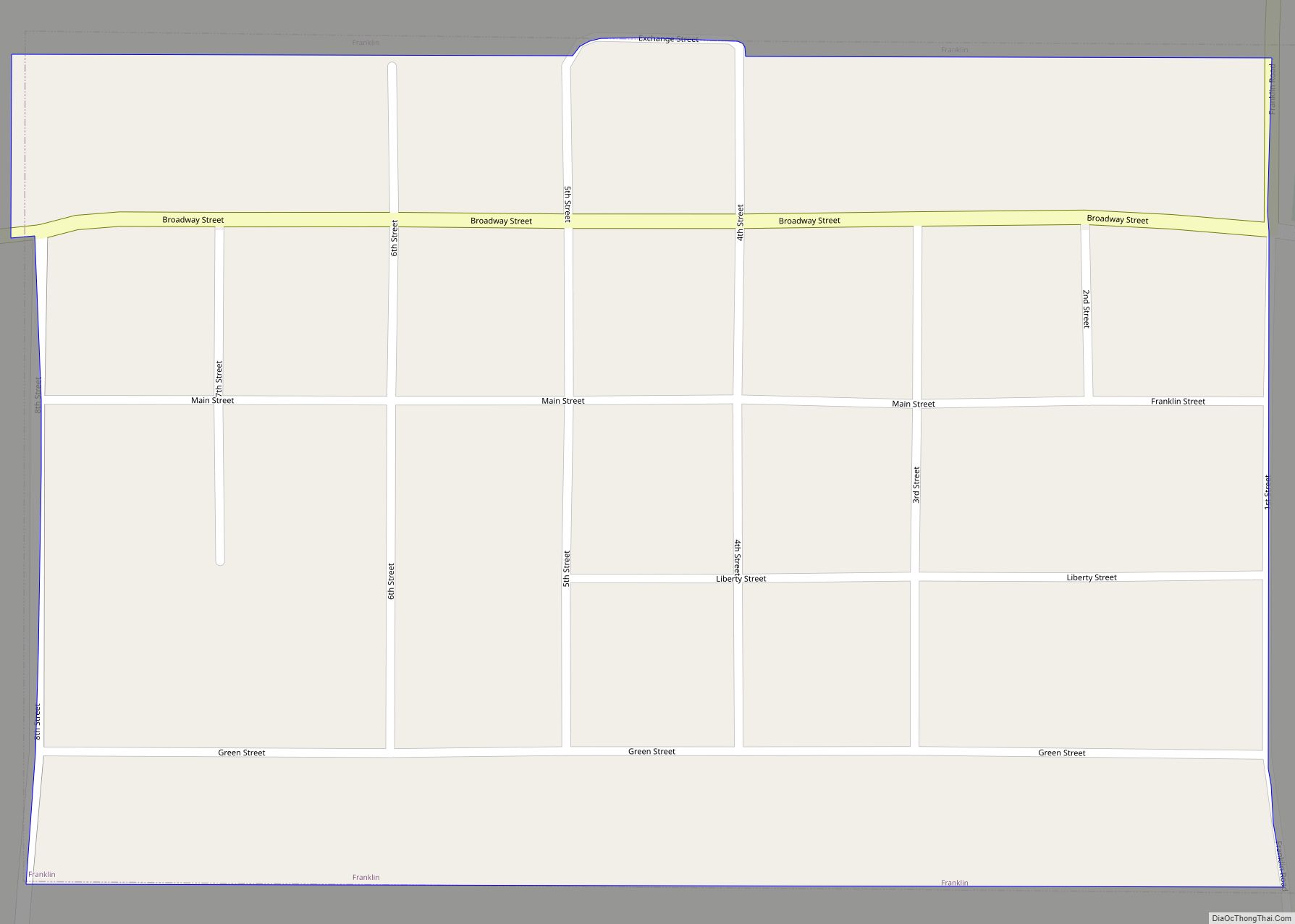
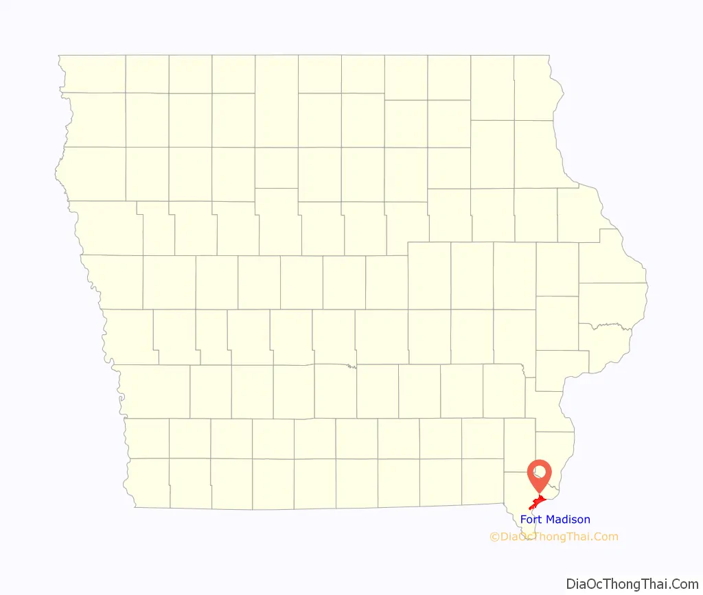
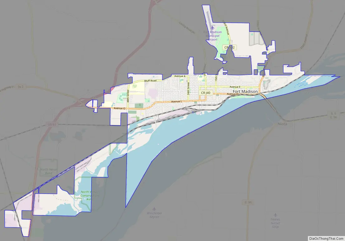
Fort Madison Road Map
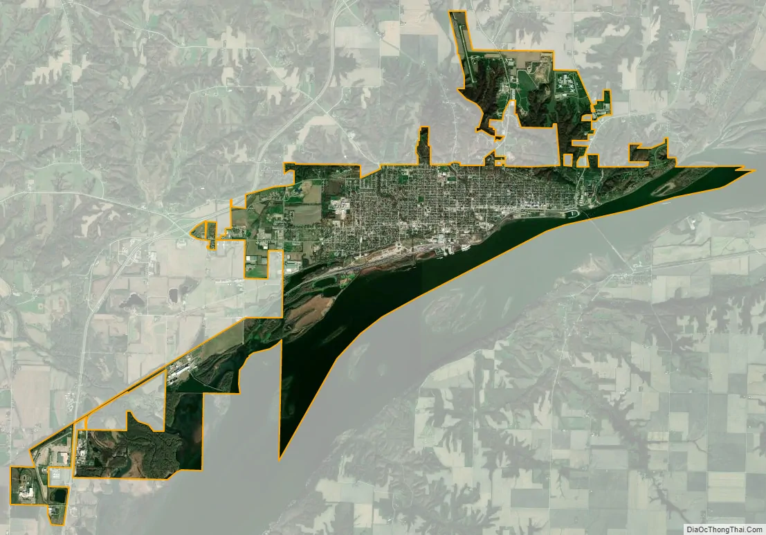
Fort Madison city Satellite Map
Geography
According to the United States Census Bureau, the city has a total area of 13.23 square miles (34.27 km), of which 9.49 square miles (24.58 km) is land and 3.74 square miles (9.69 km) is water.
Fort Madison is famous for the Tri-State Rodeo, RiverFest, Mexican Fiesta, Balloons Over the Mississippi, Art in Central Park and Annual Lighted Parade.
Climate
See also
Map of Iowa State and its subdivision:- Adair
- Adams
- Allamakee
- Appanoose
- Audubon
- Benton
- Black Hawk
- Boone
- Bremer
- Buchanan
- Buena Vista
- Butler
- Calhoun
- Carroll
- Cass
- Cedar
- Cerro Gordo
- Cherokee
- Chickasaw
- Clarke
- Clay
- Clayton
- Clinton
- Crawford
- Dallas
- Davis
- Decatur
- Delaware
- Des Moines
- Dickinson
- Dubuque
- Emmet
- Fayette
- Floyd
- Franklin
- Fremont
- Greene
- Grundy
- Guthrie
- Hamilton
- Hancock
- Hardin
- Harrison
- Henry
- Howard
- Humboldt
- Ida
- Iowa
- Jackson
- Jasper
- Jefferson
- Johnson
- Jones
- Keokuk
- Kossuth
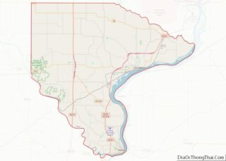
- Lee
- Linn
- Louisa
- Lucas
- Lyon
- Madison
- Mahaska
- Marion
- Marshall
- Mills
- Mitchell
- Monona
- Monroe
- Montgomery
- Muscatine
- O'Brien
- Osceola
- Page
- Palo Alto
- Plymouth
- Pocahontas
- Polk
- Pottawattamie
- Poweshiek
- Ringgold
- Sac
- Scott
- Shelby
- Sioux
- Story
- Tama
- Taylor
- Union
- Van Buren
- Wapello
- Warren
- Washington
- Wayne
- Webster
- Winnebago
- Winneshiek
- Woodbury
- Worth
- Wright
- Alabama
- Alaska
- Arizona
- Arkansas
- California
- Colorado
- Connecticut
- Delaware
- District of Columbia
- Florida
- Georgia
- Hawaii
- Idaho
- Illinois
- Indiana
- Iowa
- Kansas
- Kentucky
- Louisiana
- Maine
- Maryland
- Massachusetts
- Michigan
- Minnesota
- Mississippi
- Missouri
- Montana
- Nebraska
- Nevada
- New Hampshire
- New Jersey
- New Mexico
- New York
- North Carolina
- North Dakota
- Ohio
- Oklahoma
- Oregon
- Pennsylvania
- Rhode Island
- South Carolina
- South Dakota
- Tennessee
- Texas
- Utah
- Vermont
- Virginia
- Washington
- West Virginia
- Wisconsin
- Wyoming