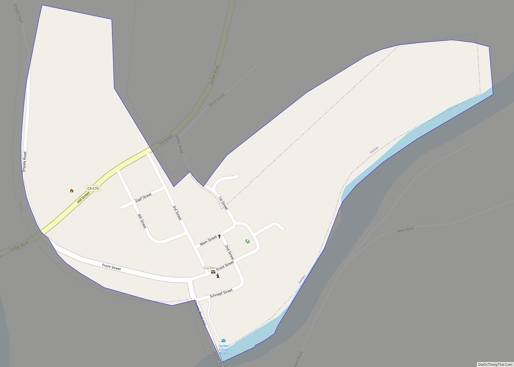
Garber is a city in Clayton County, Iowa, United States. The population was 76 at the time of the 2020 census, down from 103 in 2000. Garber city overview: Name: Garber city LSAD Code: 25 LSAD Description: city (suffix) State: Iowa County: Clayton County Elevation: 663 ft (202 m) Total Area: 0.23 sq mi (0.58 km²) Land Area: 0.23 sq mi (0.58 km²) ... Read more
Iowa Cities and Places
Galva is a city in Ida County, Iowa, United States. The population was 435 at the time of the 2020 census. Galva city overview: Name: Galva city LSAD Code: 25 LSAD Description: city (suffix) State: Iowa County: Ida County Elevation: 1,299 ft (396 m) Total Area: 0.75 sq mi (1.95 km²) Land Area: 0.75 sq mi (1.95 km²) Water Area: 0.00 sq mi (0.00 km²) Total ... Read more
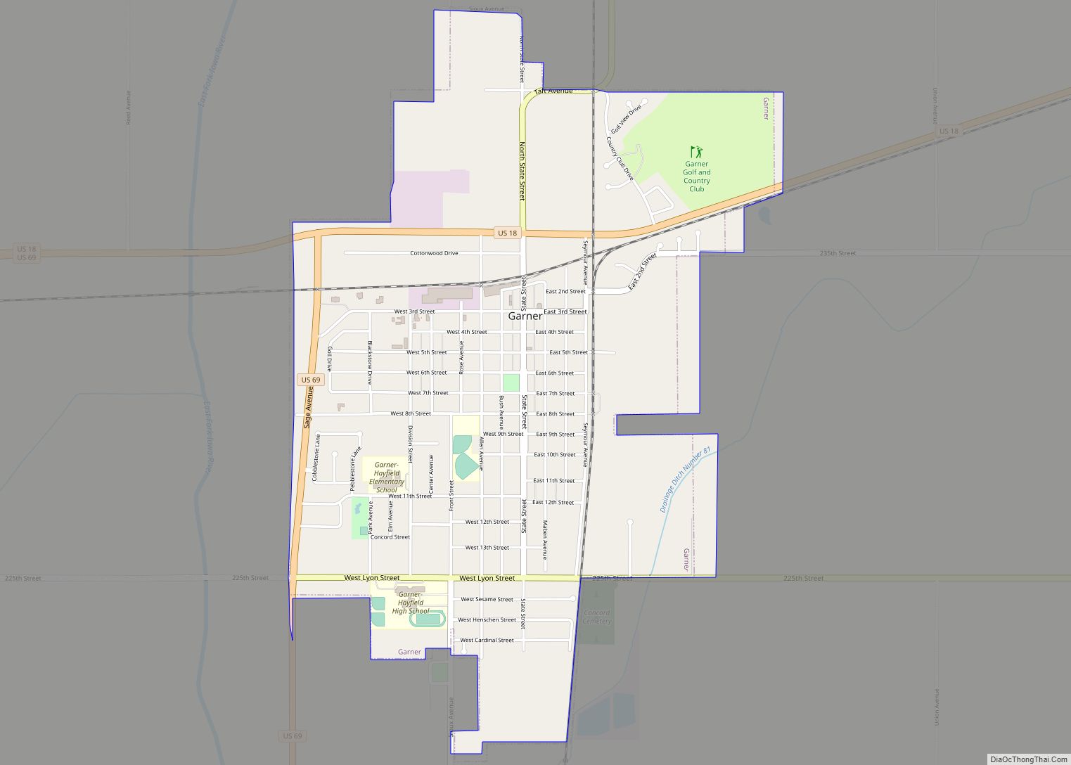
Garner is a city in and the county seat of Hancock County, Iowa, United States. The population was 3,065 in the 2020 census, an increase from 2,922 in 2000. Garner city overview: Name: Garner city LSAD Code: 25 LSAD Description: city (suffix) State: Iowa County: Hancock County Incorporated: November 19, 1881 Elevation: 1,211 ft (369 m) Total ... Read more
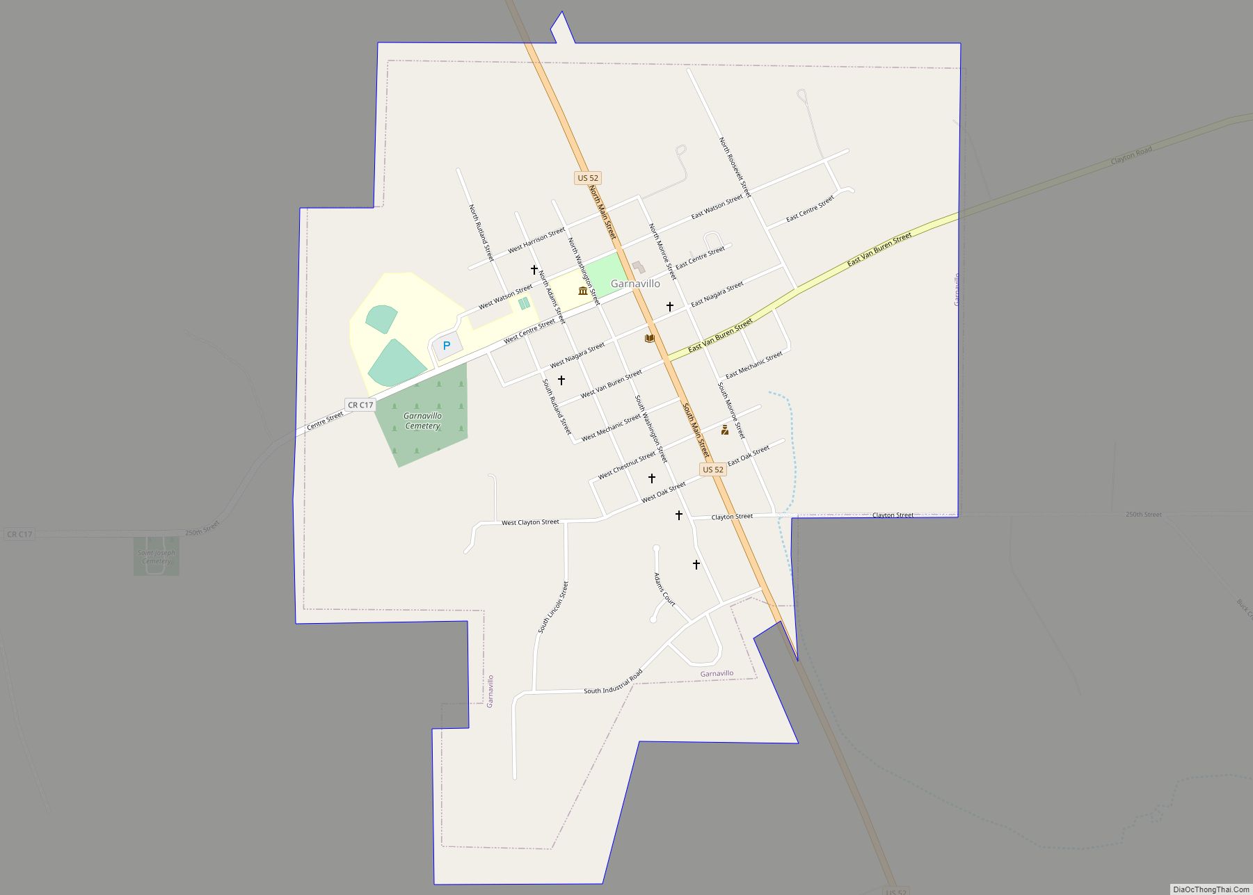
Garnavillo is a city in Clayton County, Iowa, United States. The population was 763 at the time of the 2020 census, up from 754 in 2000. Garnavillo city overview: Name: Garnavillo city LSAD Code: 25 LSAD Description: city (suffix) State: Iowa County: Clayton County Elevation: 1,063 ft (324 m) Total Area: 0.94 sq mi (2.44 km²) Land Area: 0.94 sq mi (2.44 km²) ... Read more
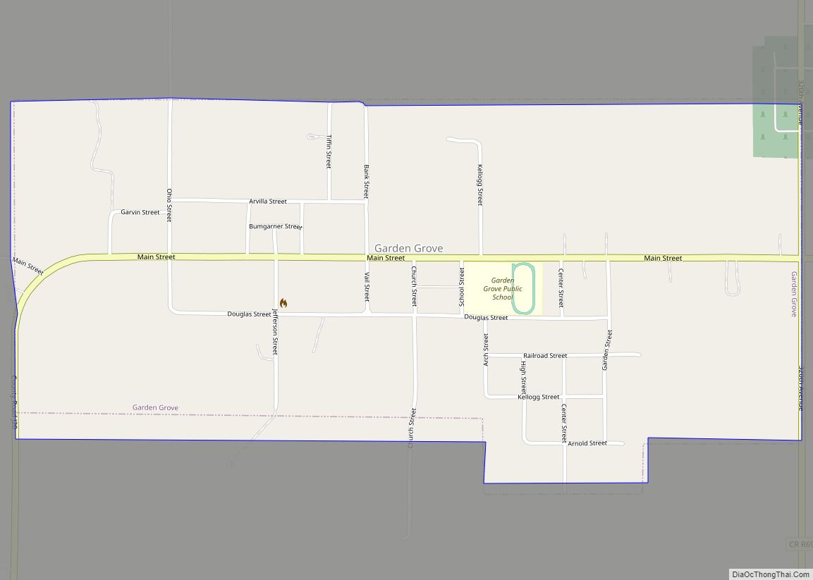
Garden Grove is a small town in Decatur County, Iowa, United States. The population was 174 at the time of the 2020 census. Garden Grove city overview: Name: Garden Grove city LSAD Code: 25 LSAD Description: city (suffix) State: Iowa County: Decatur County Elevation: 1,112 ft (339 m) Total Area: 0.68 sq mi (1.75 km²) Land Area: 0.68 sq mi (1.75 km²) Water ... Read more
Geneva is a city in Franklin County, Iowa, United States. The population was 136 at the time of the 2020 census. Geneva city overview: Name: Geneva city LSAD Code: 25 LSAD Description: city (suffix) State: Iowa County: Franklin County Elevation: 1,102 ft (336 m) Total Area: 0.41 sq mi (1.06 km²) Land Area: 0.41 sq mi (1.06 km²) Water Area: 0.00 sq mi (0.00 km²) Total ... Read more
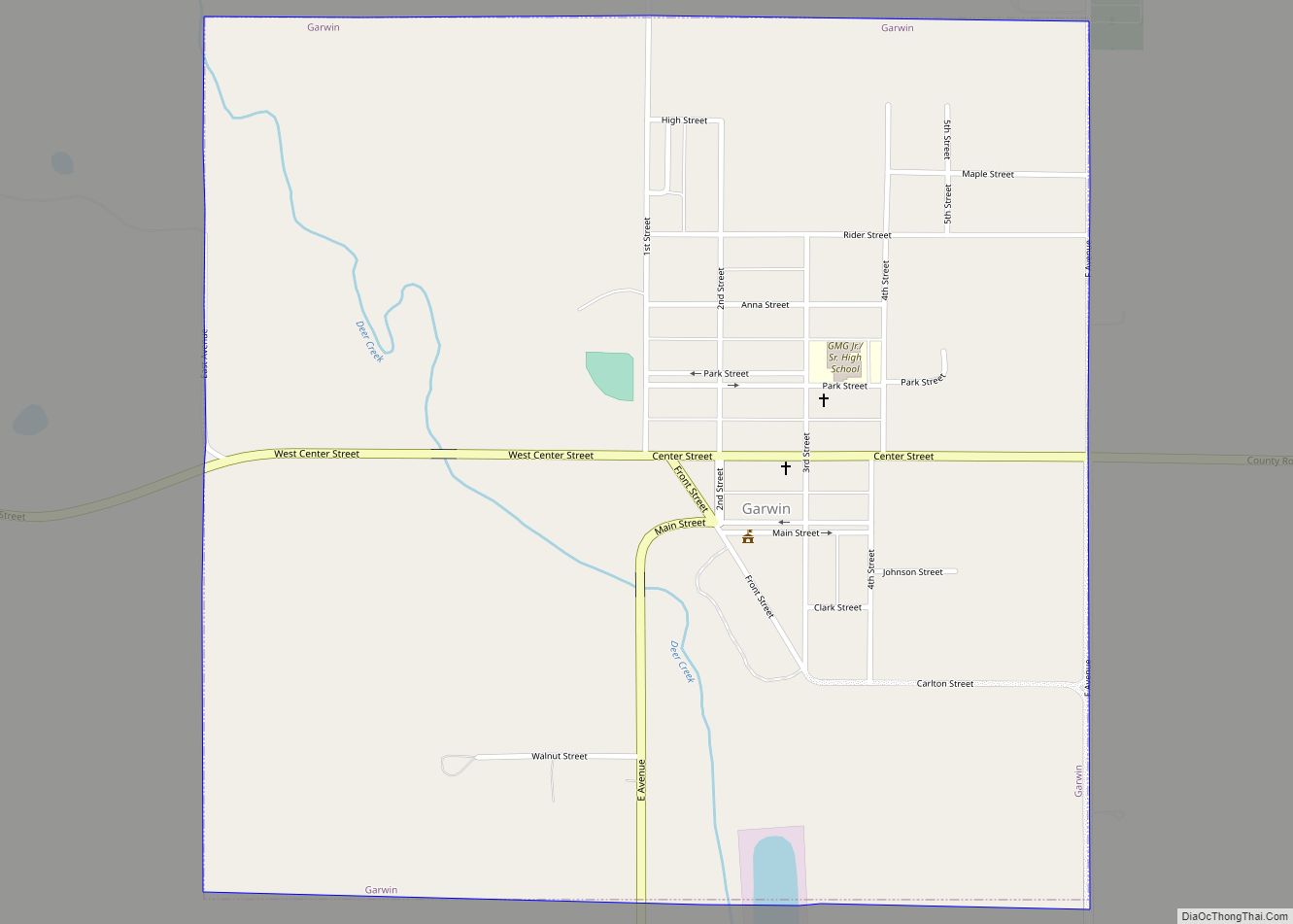
Garwin is a city in Tama County, Iowa, United States. The population was 481 at the time of the 2020 census. Garwin city overview: Name: Garwin city LSAD Code: 25 LSAD Description: city (suffix) State: Iowa County: Tama County Elevation: 922 ft (281 m) Total Area: 1.01 sq mi (2.61 km²) Land Area: 1.01 sq mi (2.61 km²) Water Area: 0.00 sq mi (0.00 km²) Total ... Read more
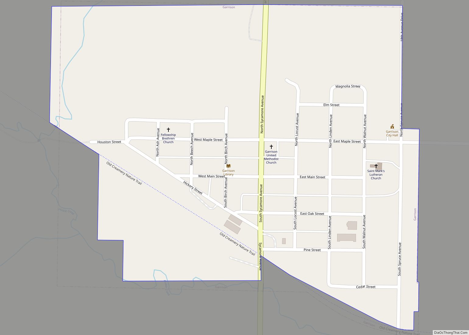
Garrison is a city in Benton County, Iowa, United States. The population was 344 at the time of the 2020 census. It is part of the Cedar Rapids Metropolitan Statistical Area. It was named for the farmer, Nelson Garrison, who had the post office in his home west of town. He owned the property.(1872). Garrison ... Read more
Gilbert is a city in Story County, Iowa, United States. The population was 1,211 at the time of the 2020 census. It is part of the Ames, Iowa Metropolitan Statistical Area, which is a part of the larger Ames-Boone, Iowa Combined Statistical Area. Gilbert city overview: Name: Gilbert city LSAD Code: 25 LSAD Description: city ... Read more
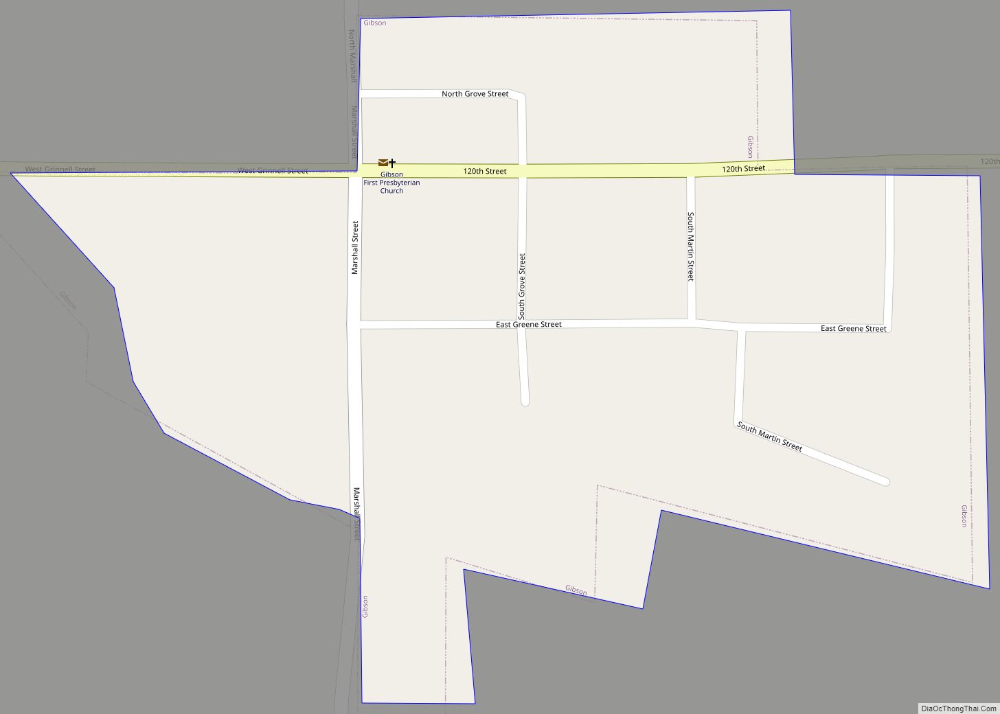
Gibson is a city in Keokuk County, Iowa, United States. The population was 63 at the time of the 2020 census. Gibson city overview: Name: Gibson city LSAD Code: 25 LSAD Description: city (suffix) State: Iowa County: Keokuk County Elevation: 896 ft (273 m) Total Area: 0.06 sq mi (0.16 km²) Land Area: 0.06 sq mi (0.16 km²) Water Area: 0.00 sq mi (0.00 km²) Total ... Read more
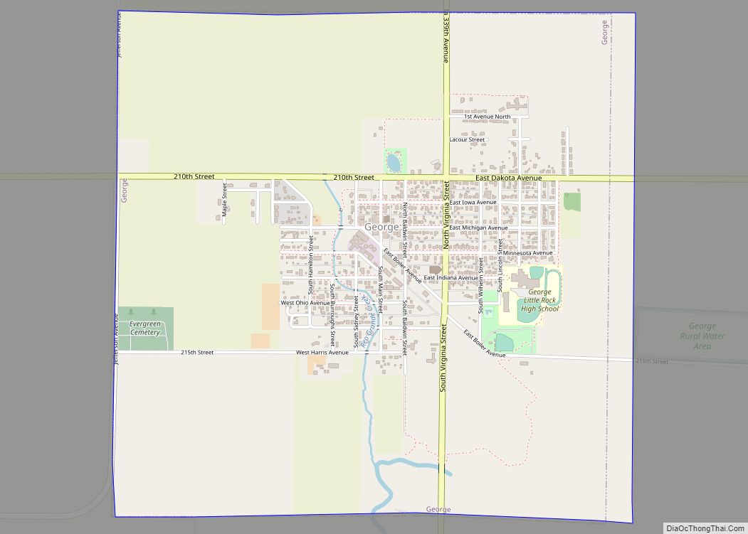
George is a city in Lyon County, Iowa, United States, along the Little Rock River. The population was 1,077 at the time of the 2020 census. The ZIP Code for George is 51237. George city overview: Name: George city LSAD Code: 25 LSAD Description: city (suffix) State: Iowa County: Lyon County Elevation: 1,381 ft (421 m) Total ... Read more
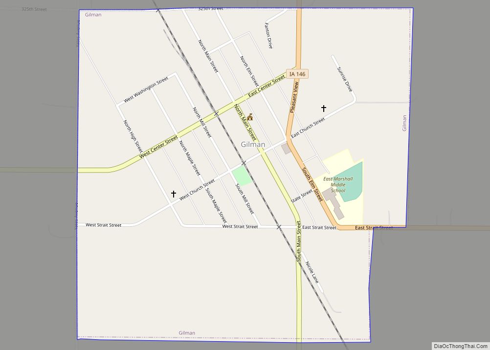
Gilman is a city in the southeastern corner of Marshall County, Iowa, United States. The population was 542 at the time of the 2020 census. Gilman city overview: Name: Gilman city LSAD Code: 25 LSAD Description: city (suffix) State: Iowa County: Marshall County Elevation: 1,027 ft (313 m) Total Area: 0.54 sq mi (1.39 km²) Land Area: 0.54 sq mi (1.39 km²) Water ... Read more
