Garner is a city in and the county seat of Hancock County, Iowa, United States. The population was 3,065 in the 2020 census, an increase from 2,922 in 2000.
| Name: | Garner city |
|---|---|
| LSAD Code: | 25 |
| LSAD Description: | city (suffix) |
| State: | Iowa |
| County: | Hancock County |
| Incorporated: | November 19, 1881 |
| Elevation: | 1,211 ft (369 m) |
| Total Area: | 2.13 sq mi (5.50 km²) |
| Land Area: | 2.13 sq mi (5.50 km²) |
| Water Area: | 0.00 sq mi (0.00 km²) |
| Total Population: | 3,065 |
| Population Density: | 1,442.35/sq mi (556.83/km²) |
| ZIP code: | 50438 |
| Area code: | 641 |
| FIPS code: | 1929955 |
| GNISfeature ID: | 0456845 |
| Website: | www.garneriowa.org |
Online Interactive Map
Click on ![]() to view map in "full screen" mode.
to view map in "full screen" mode.
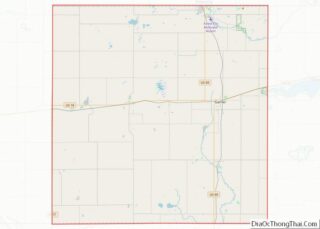
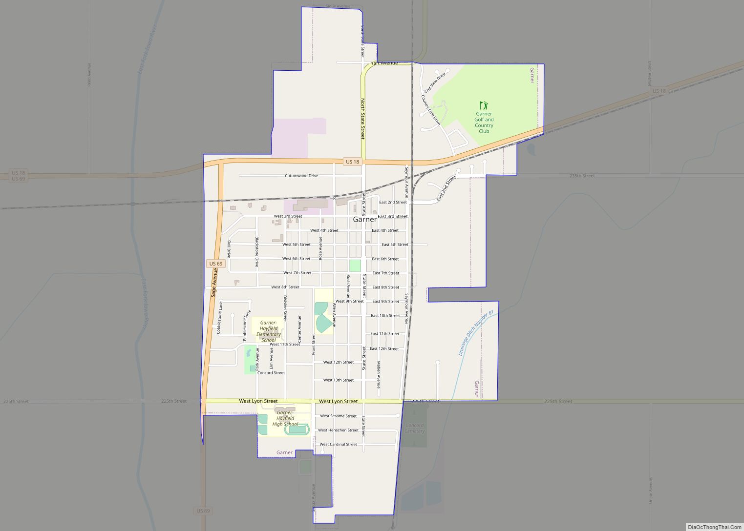
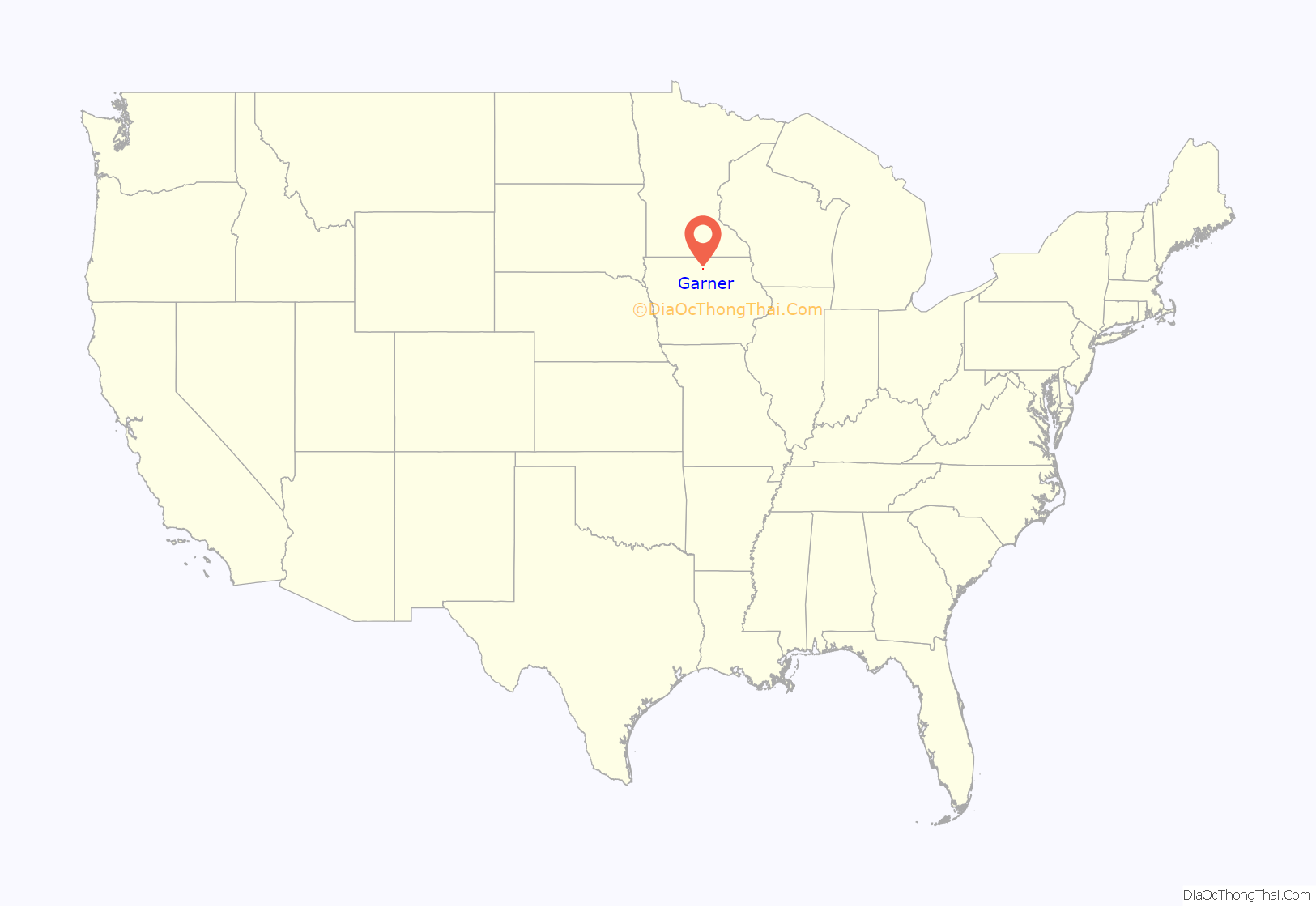
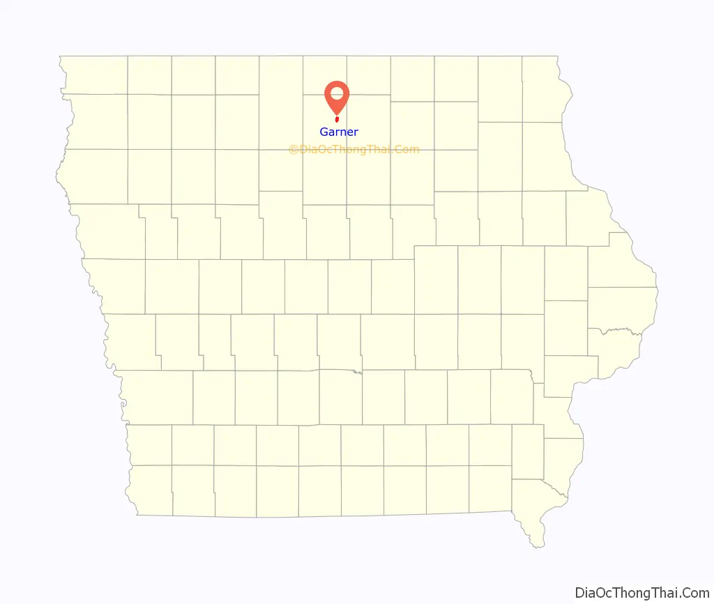
Garner location map. Where is Garner city?
History
Garner was named after Col. W. W. Garner, a civil engineer on the Chicago, Milwaukee & St. Paul Railroad. In 1870, Garner was platted by the Chicago, Milwaukee and St. Paul Railway and was incorporated in 1881 with a population of 321 at that time. In the 1880s, the Duesenberg brothers, who later went on to build the Duesenberg automobile, operated a bicycle sales and repair business in Garner.
In the early days of Hancock County the court house was located approximately one mile south of Garner in what was known as Concord. The Concord Court House was platted on April 9, 1859, on a lot known as “the Court Square in a village known as Amsterdam but apparently never built. Later, on November 4, 1865, a site for the county seat was proposed. Soon after, John Maben, under the auspices of the Board of Supervisors built two small wooden buildings in an area they called “Hancock Center.” That building was replaced by a brick building in 1869. That court house continued as the county seat until 1899 when a new court house was built in Garner. In 1898 the town of Britt located a few miles to the west launched a campaign to relocate the County Seat to their town; a plan that was never instituted after some legal intervention by a group of attorneys. Subsequently building of the “Klondike” railroad that ran through Garner resulted in the building of a new courthouse with the laying of the cornerstone on June 8, 1899, That regal building continues to serve the people of Hancock County to this day.
In 1895 the famous evangelist Billy Sunday held his first revival meeting at Garner, Iowa; nearly 100 persons accepted Christ during the week of meetings. Each year Garner celebrates “Duesey Days.” The town celebration gets its name from Frederick and August Duesenberg. The Duesenberg brothers had their meager beginning in a bicycle shop on Main Street in Garner but went on to found Duesenberg Motors Company (sometimes referred to as “Duesy”), an American manufacturer of race cars and luxury automobiles.
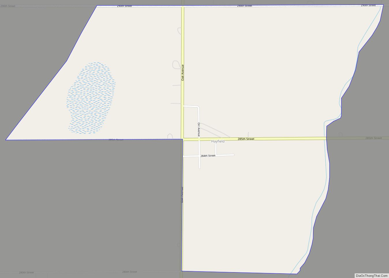
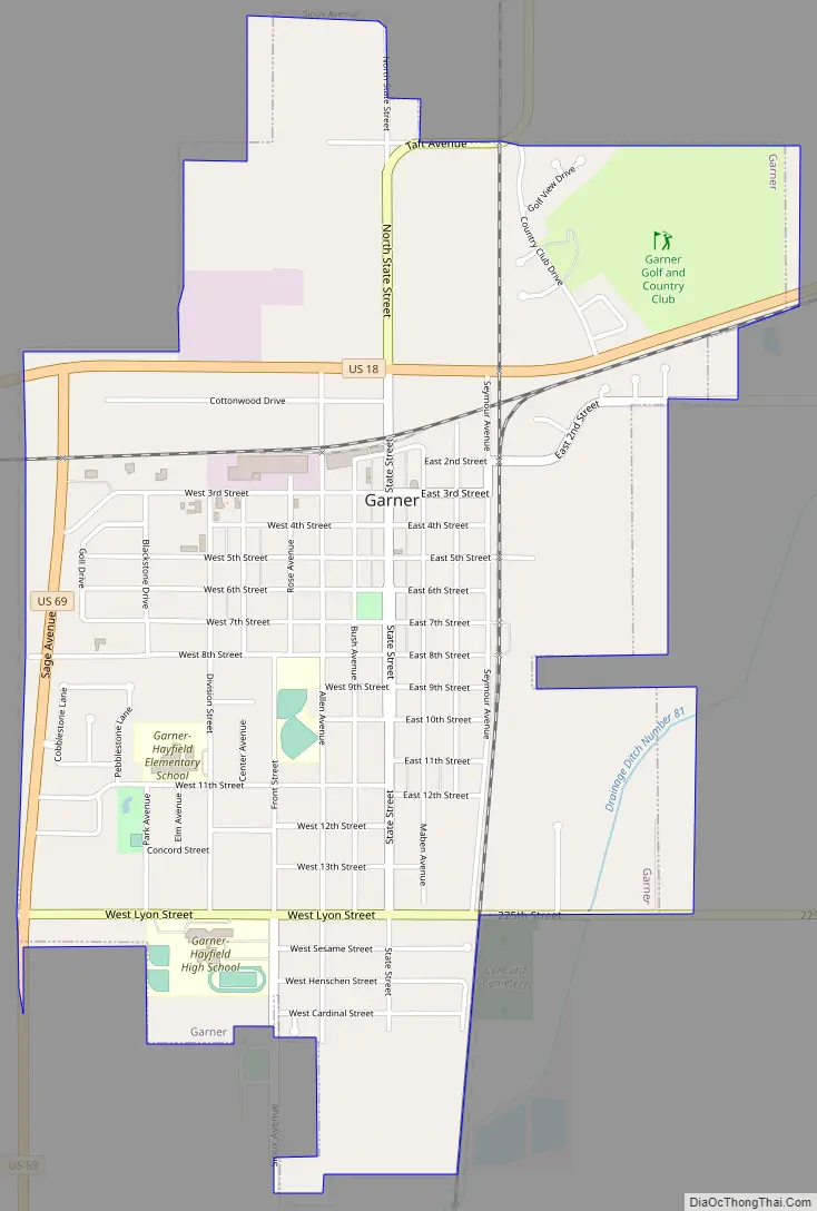
Garner Road Map
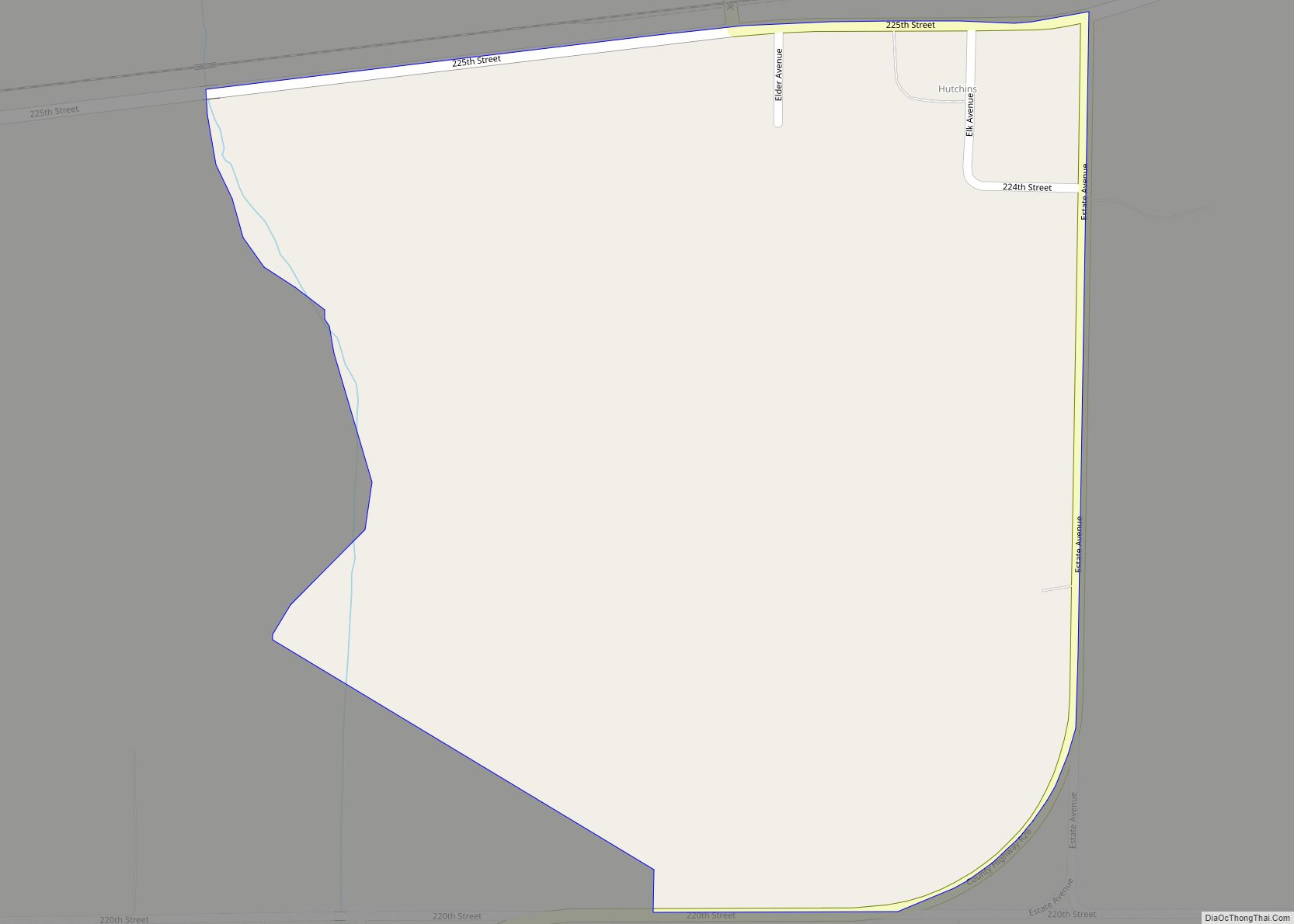
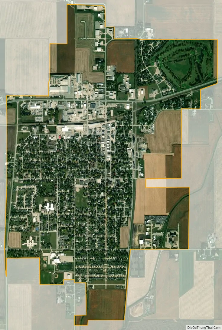
Garner city Satellite Map
Geography
Garner is located at 43°5′53″N 93°36′15″W / 43.09806°N 93.60417°W / 43.09806; -93.60417 (43.098189, -93.604028), on the East Branch Iowa River.According to the United States Census Bureau, the city has a total area of 2.06 square miles (5.34 km), all land.
See also
Map of Iowa State and its subdivision:- Adair
- Adams
- Allamakee
- Appanoose
- Audubon
- Benton
- Black Hawk
- Boone
- Bremer
- Buchanan
- Buena Vista
- Butler
- Calhoun
- Carroll
- Cass
- Cedar
- Cerro Gordo
- Cherokee
- Chickasaw
- Clarke
- Clay
- Clayton
- Clinton
- Crawford
- Dallas
- Davis
- Decatur
- Delaware
- Des Moines
- Dickinson
- Dubuque
- Emmet
- Fayette
- Floyd
- Franklin
- Fremont
- Greene
- Grundy
- Guthrie
- Hamilton
- Hancock
- Hardin
- Harrison
- Henry
- Howard
- Humboldt
- Ida
- Iowa
- Jackson
- Jasper
- Jefferson
- Johnson
- Jones
- Keokuk
- Kossuth
- Lee
- Linn
- Louisa
- Lucas
- Lyon
- Madison
- Mahaska
- Marion
- Marshall
- Mills
- Mitchell
- Monona
- Monroe
- Montgomery
- Muscatine
- O'Brien
- Osceola
- Page
- Palo Alto
- Plymouth
- Pocahontas
- Polk
- Pottawattamie
- Poweshiek
- Ringgold
- Sac
- Scott
- Shelby
- Sioux
- Story
- Tama
- Taylor
- Union
- Van Buren
- Wapello
- Warren
- Washington
- Wayne
- Webster
- Winnebago
- Winneshiek
- Woodbury
- Worth
- Wright
- Alabama
- Alaska
- Arizona
- Arkansas
- California
- Colorado
- Connecticut
- Delaware
- District of Columbia
- Florida
- Georgia
- Hawaii
- Idaho
- Illinois
- Indiana
- Iowa
- Kansas
- Kentucky
- Louisiana
- Maine
- Maryland
- Massachusetts
- Michigan
- Minnesota
- Mississippi
- Missouri
- Montana
- Nebraska
- Nevada
- New Hampshire
- New Jersey
- New Mexico
- New York
- North Carolina
- North Dakota
- Ohio
- Oklahoma
- Oregon
- Pennsylvania
- Rhode Island
- South Carolina
- South Dakota
- Tennessee
- Texas
- Utah
- Vermont
- Virginia
- Washington
- West Virginia
- Wisconsin
- Wyoming