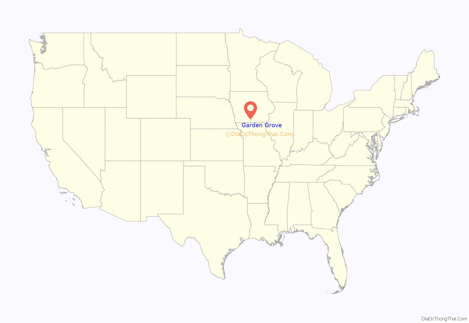
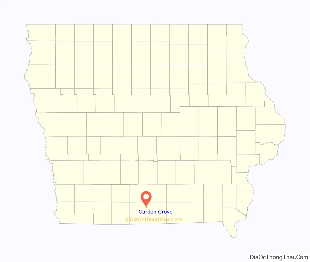
Garden Grove is a small town in Decatur County, Iowa, United States. The population was 174 at the time of the 2020 census.
| Name: | Garden Grove city |
|---|---|
| LSAD Code: | 25 |
| LSAD Description: | city (suffix) |
| State: | Iowa |
| County: | Decatur County |
| Elevation: | 1,112 ft (339 m) |
| Total Area: | 0.68 sq mi (1.75 km²) |
| Land Area: | 0.68 sq mi (1.75 km²) |
| Water Area: | 0.00 sq mi (0.00 km²) |
| Total Population: | 174 |
| Population Density: | 257.40/sq mi (99.38/km²) |
| ZIP code: | 50103 |
| Area code: | 641 |
| FIPS code: | 1929775 |
| GNISfeature ID: | 0456823 |
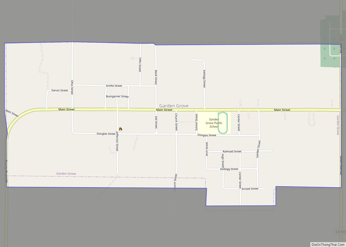
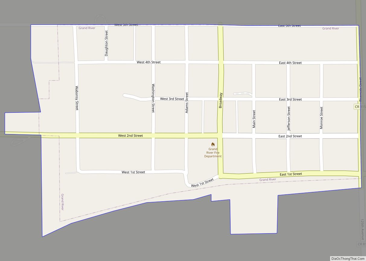
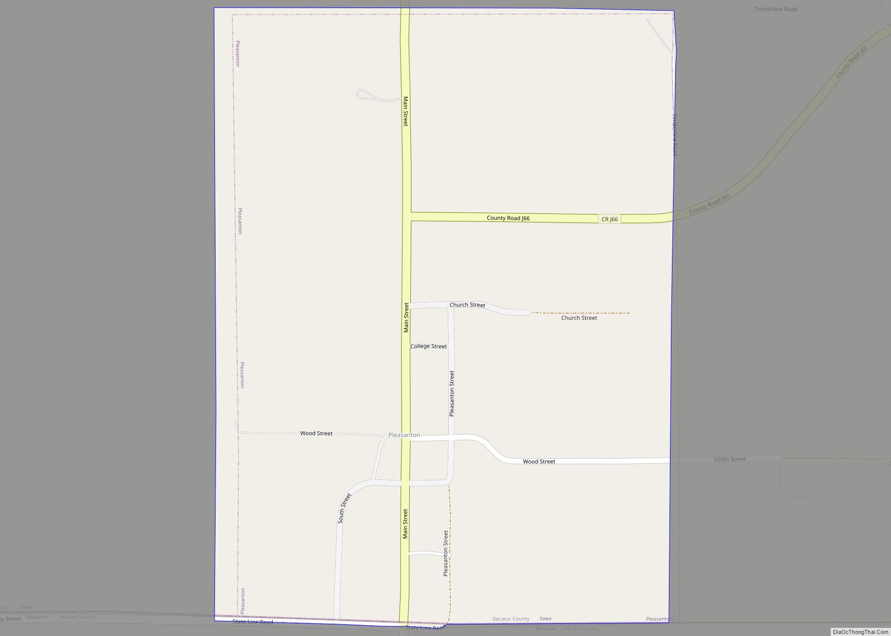
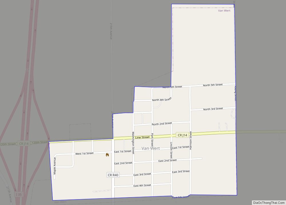
Online Interactive Map
Click on ![]() to view map in "full screen" mode.
to view map in "full screen" mode.
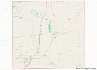
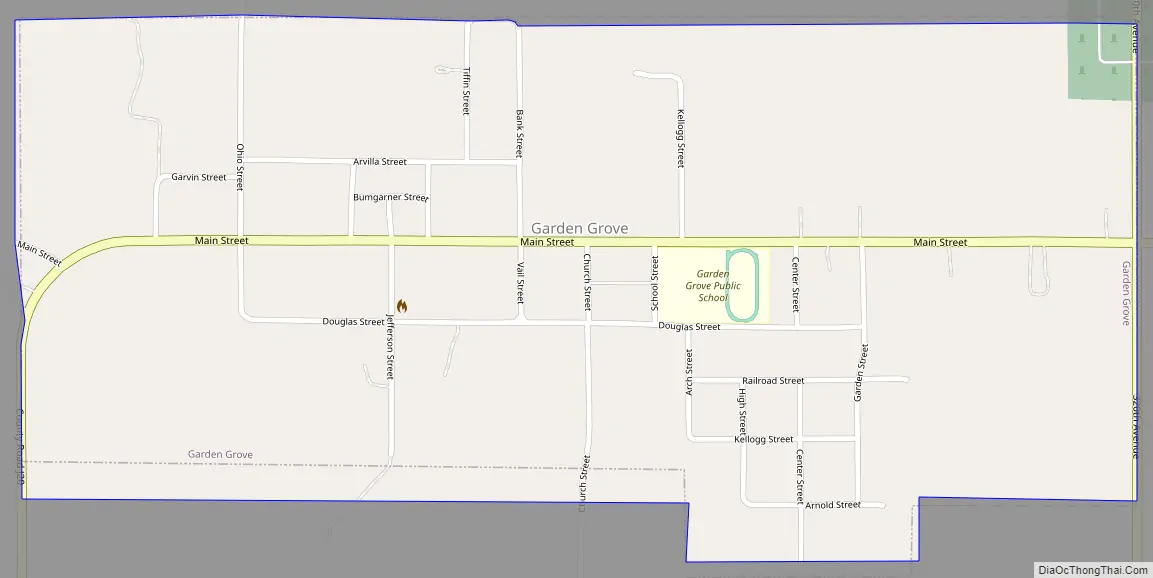
Garden Grove location map. Where is Garden Grove city?
History
On April 24, 1846, emigrants affiliated with the Church of Jesus Christ of Latter-day Saints under the direction of Brigham Young established a way station halfway into their trek across Iowa. This semi-permanent settlement was named Garden Grove because the entire grove was covered with wild onions as far as the eye could see. Within three weeks of their arrival, the pioneers enclosed and planted 715 acres (2.89 km). They founded the village to assist those who did not have sufficient means to continue their journey, as well as to support and supply future companies of pioneers.
When Brigham Young and the main company left Garden Grove on May 12, 1846, the poorest and least prepared were left behind. After the Saints arrived in Winter Quarters, Captain James Allen brought orders from President James Polk to enlist a battalion of Mormons for the War with Mexico. Brigham Young and other leaders rode back as far as Mt. Pisgah to encourage the men to enlist, and a letter was sent to the Saints in Garden Grove. Only one man from the Garden Grove settlement, Edward Bunker, enlisted and served in the Mormon Battalion.
In the fall of 1846, when the last of the Mormons were driven out of Nauvoo, Illinois, the exiles camped on the west shore of the Mississippi River. Two rescue parties were sent from Winter Quarters and Council Bluffs, and an additional group was requested from Garden Grove. Luman Shurtliff led the third rescue party and brought the poorest of the exiles to the settlement at Garden Grove.
Through the winter of 1846/47, about 600 Latter-day Saints resided in Garden Grove. By 1852, the Mormon settlers had moved on to Utah, selling the property and improvements to other American frontiersmen. Garden Grove is a site on the Mormon Pioneer National Historic Trail. A marker just west of the city, overlooking a wooded ravine, marks the site of the former Mormon Cemetery.
Garden Grove was a shipping point on the Chicago, Burlington and Quincy Railroad.
A strong EF2 tornado struck the town on March 5, 2022, causing major damage to several structures.
Garden Grove Road Map
Garden Grove city Satellite Map

Geography
Garden Grove is located at 40°49′35″N 93°36′28″W / 40.82639°N 93.60778°W / 40.82639; -93.60778 (40.826479, -93.607732).
According to the United States Census Bureau, the city has a total area of 0.69 square miles (1.79 km), all land.
See also
Map of Iowa State and its subdivision:- Adair
- Adams
- Allamakee
- Appanoose
- Audubon
- Benton
- Black Hawk
- Boone
- Bremer
- Buchanan
- Buena Vista
- Butler
- Calhoun
- Carroll
- Cass
- Cedar
- Cerro Gordo
- Cherokee
- Chickasaw
- Clarke
- Clay
- Clayton
- Clinton
- Crawford
- Dallas
- Davis
- Decatur
- Delaware
- Des Moines
- Dickinson
- Dubuque
- Emmet
- Fayette
- Floyd
- Franklin
- Fremont
- Greene
- Grundy
- Guthrie
- Hamilton
- Hancock
- Hardin
- Harrison
- Henry
- Howard
- Humboldt
- Ida
- Iowa
- Jackson
- Jasper
- Jefferson
- Johnson
- Jones
- Keokuk
- Kossuth
- Lee
- Linn
- Louisa
- Lucas
- Lyon
- Madison
- Mahaska
- Marion
- Marshall
- Mills
- Mitchell
- Monona
- Monroe
- Montgomery
- Muscatine
- O'Brien
- Osceola
- Page
- Palo Alto
- Plymouth
- Pocahontas
- Polk
- Pottawattamie
- Poweshiek
- Ringgold
- Sac
- Scott
- Shelby
- Sioux
- Story
- Tama
- Taylor
- Union
- Van Buren
- Wapello
- Warren
- Washington
- Wayne
- Webster
- Winnebago
- Winneshiek
- Woodbury
- Worth
- Wright
- Alabama
- Alaska
- Arizona
- Arkansas
- California
- Colorado
- Connecticut
- Delaware
- District of Columbia
- Florida
- Georgia
- Hawaii
- Idaho
- Illinois
- Indiana
- Iowa
- Kansas
- Kentucky
- Louisiana
- Maine
- Maryland
- Massachusetts
- Michigan
- Minnesota
- Mississippi
- Missouri
- Montana
- Nebraska
- Nevada
- New Hampshire
- New Jersey
- New Mexico
- New York
- North Carolina
- North Dakota
- Ohio
- Oklahoma
- Oregon
- Pennsylvania
- Rhode Island
- South Carolina
- South Dakota
- Tennessee
- Texas
- Utah
- Vermont
- Virginia
- Washington
- West Virginia
- Wisconsin
- Wyoming