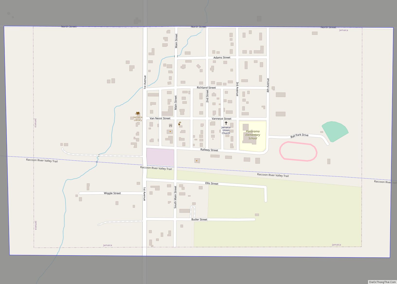
Jamaica is a city in Guthrie County, Iowa, United States. The population was 195 at the time of the 2020 census. It is part of the Des Moines–West Des Moines Metropolitan Statistical Area. Jamaica city overview: Name: Jamaica city LSAD Code: 25 LSAD Description: city (suffix) State: Iowa County: Guthrie County Elevation: 1,033 ft (315 m) Total ... Read more
Iowa Cities and Places
Jacksonville is an unincorporated community and census-designated place in Jackson Township, Shelby County, Iowa, in the United States. As of the 2010 Census the population of Jacksonville was 30. Jacksonville CDP overview: Name: Jacksonville CDP LSAD Code: 57 LSAD Description: CDP (suffix) State: Iowa County: Shelby County Elevation: 1,276 ft (389 m) Total Area: 0.10 sq mi (0.25 km²) Land ... Read more
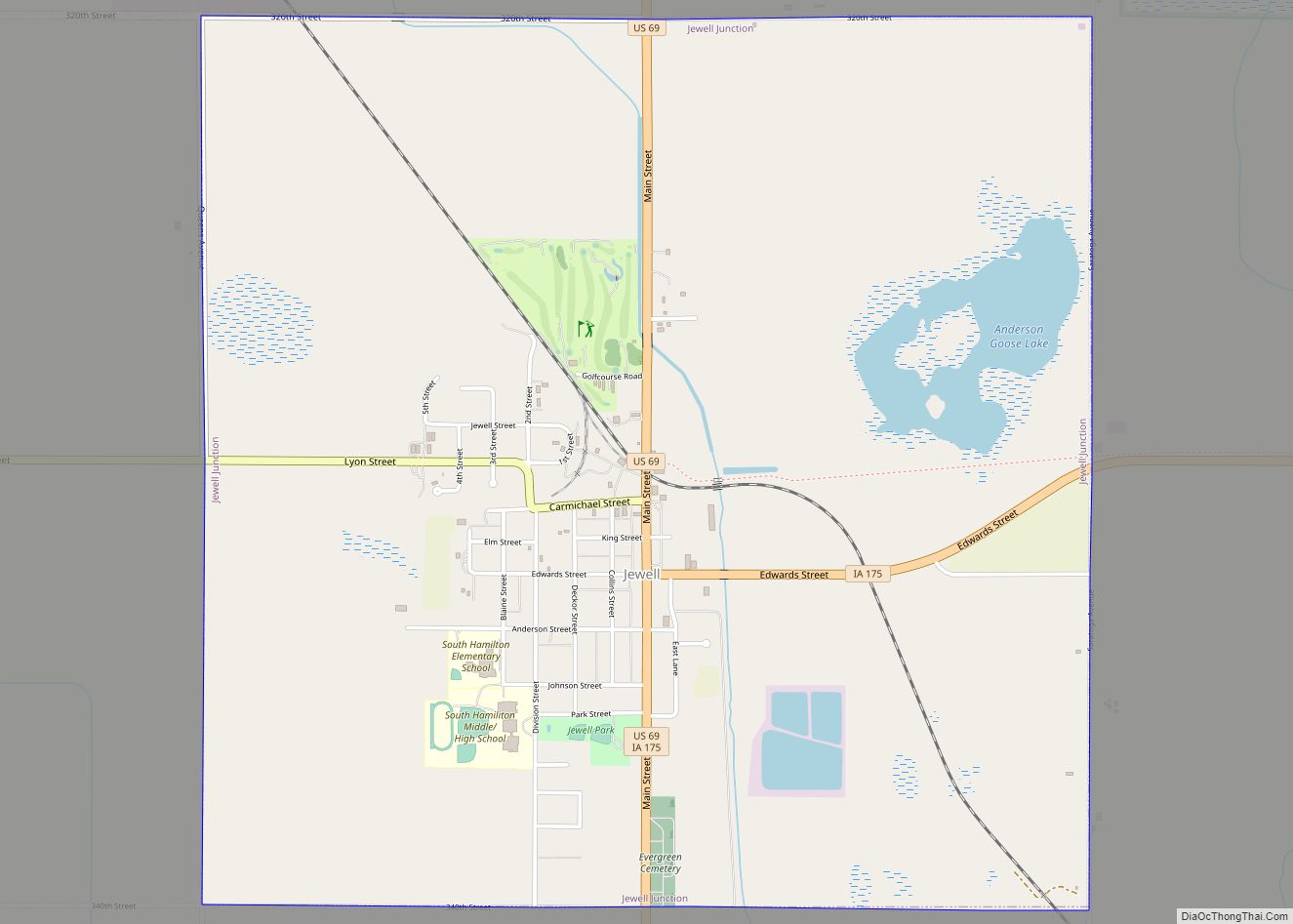
Jewell Junction, better known as Jewell, is a city in Hamilton County, Iowa, United States. The population was 1,216 at the time of the 2020 census. Jewell Junction city overview: Name: Jewell Junction city LSAD Code: 25 LSAD Description: city (suffix) State: Iowa County: Hamilton County Total Area: 3.99 sq mi (10.34 km²) Land Area: 3.87 sq mi (10.03 km²) Water ... Read more
Jesup is a city in Buchanan County and partly in Black Hawk County in the U.S. state of Iowa. The population was 2,508 at the time of the 2020 census. It was named for Morris Ketchum Jesup, president of the Dubuque and Sioux City Railroad. The Black Hawk County portion of Jesup is part of ... Read more
Jefferson is a city in, and the county seat of Greene County, Iowa, United States, along the North Raccoon River. The population was 4,182 at the time of the 2020 census. It is the home of the Mahanay Memorial Bell Tower, 168 feet (51 m) tall, located on the town square, and visible for miles. The ... Read more
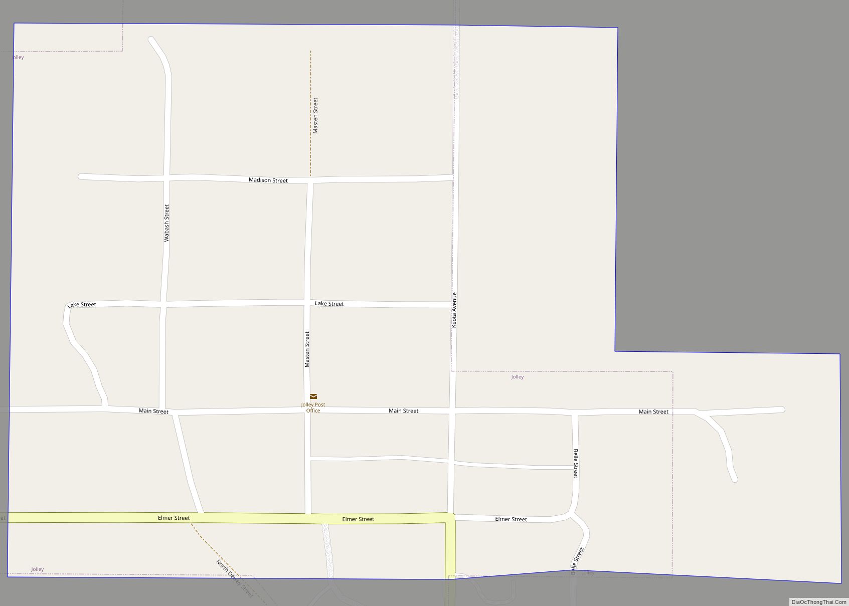
Jolley is a city in Calhoun County, Iowa, United States. The population was 28 at the time of the 2020 census. Jolley city overview: Name: Jolley city LSAD Code: 25 LSAD Description: city (suffix) State: Iowa County: Calhoun County Elevation: 1,230 ft (375 m) Total Area: 0.09 sq mi (0.22 km²) Land Area: 0.09 sq mi (0.22 km²) Water Area: 0.00 sq mi (0.00 km²) Total ... Read more
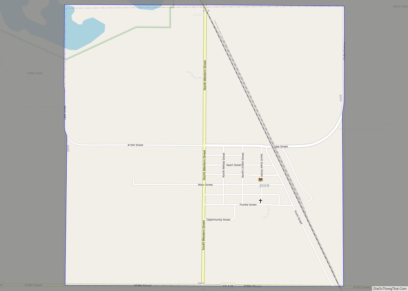
Joice is a city in Worth County, Iowa, United States. The population was 208 at the time of the 2020 census. It is part of the Mason City Micropolitan Statistical Area. Joice city overview: Name: Joice city LSAD Code: 25 LSAD Description: city (suffix) State: Iowa County: Worth County Elevation: 1,263 ft (385 m) Total Area: 1.07 sq mi ... Read more
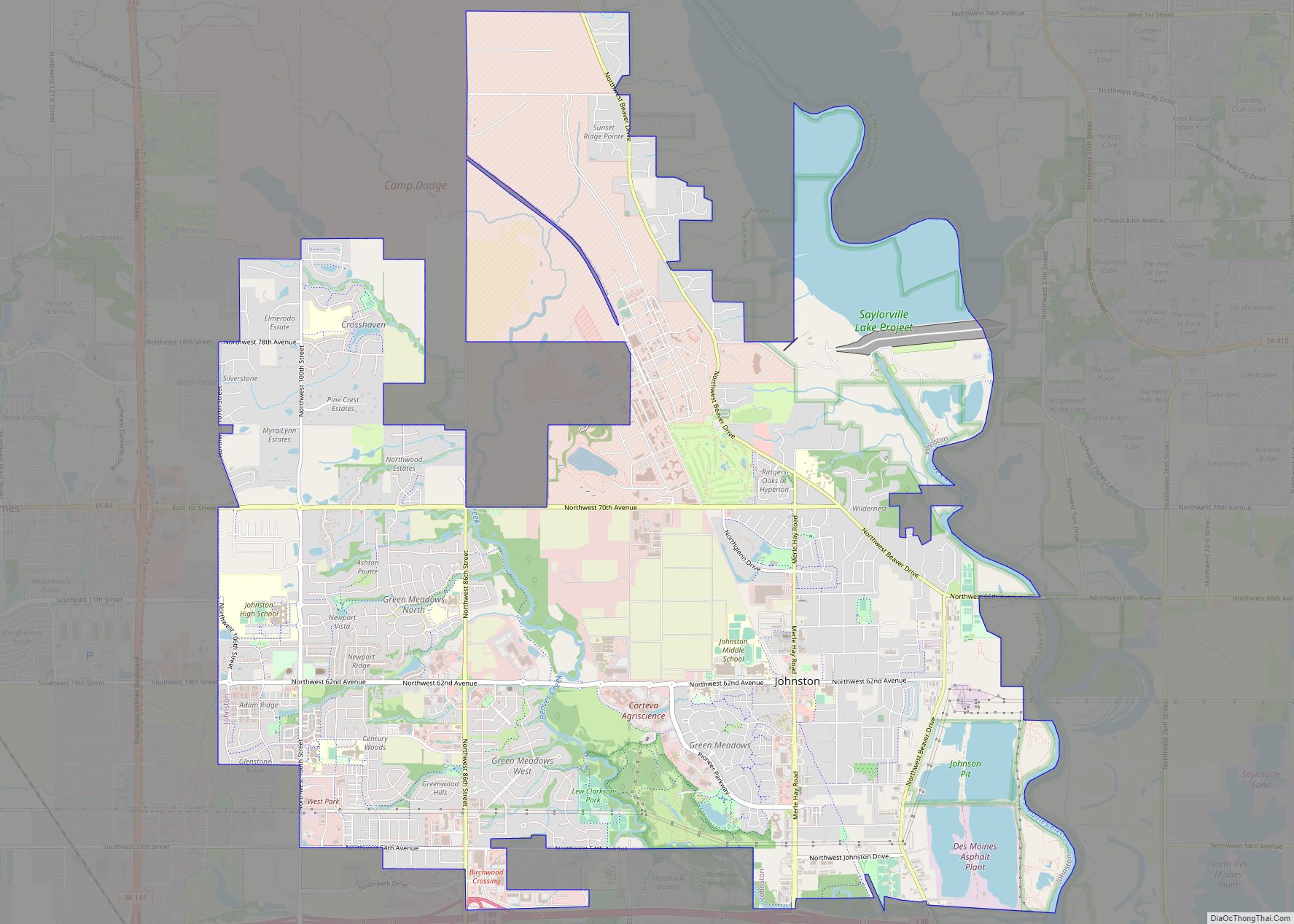
Johnston is a city in Polk County, Iowa, United States. The population was 24,064 in the 2020 census, an increase of 178% from the 8,649 population in 2000. It is part of the Des Moines–West Des Moines Metropolitan Statistical Area. Johnston is the location of the headquarters of Pioneer Hi-Bred Seeds, Iowa Public Television, and ... Read more
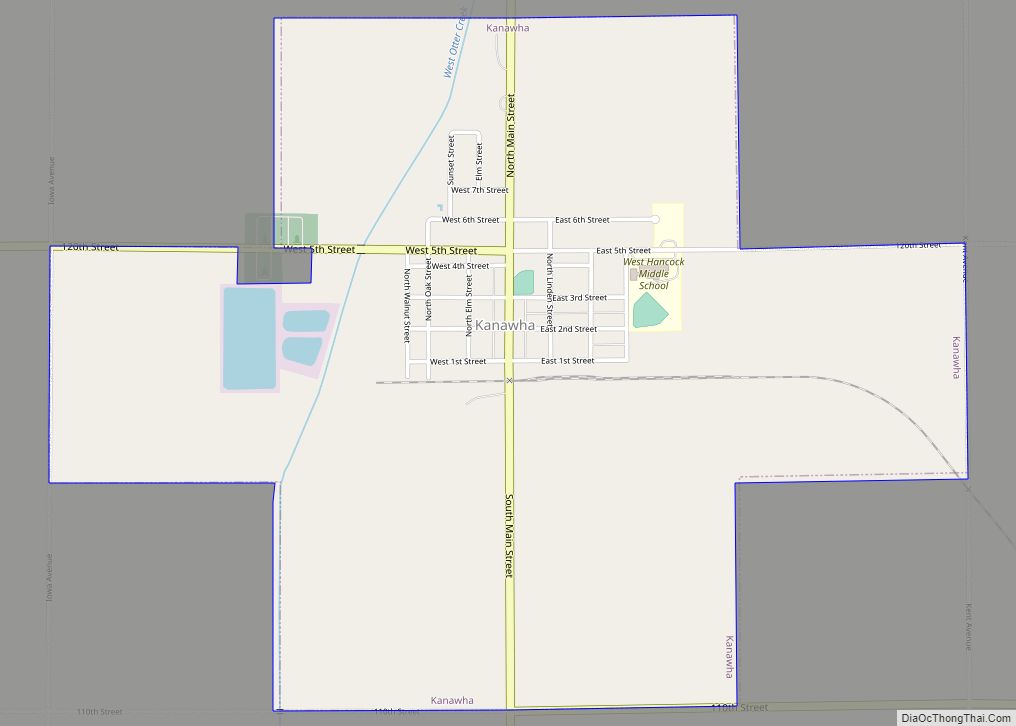
Kanawha is a city in Hancock County, Iowa, United States. The population was 658 at the time of the 2020 census. Kanawha city overview: Name: Kanawha city LSAD Code: 25 LSAD Description: city (suffix) State: Iowa County: Hancock County Elevation: 1,181 ft (360 m) Total Area: 1.98 sq mi (5.14 km²) Land Area: 1.98 sq mi (5.14 km²) Water Area: 0.00 sq mi (0.00 km²) Total ... Read more
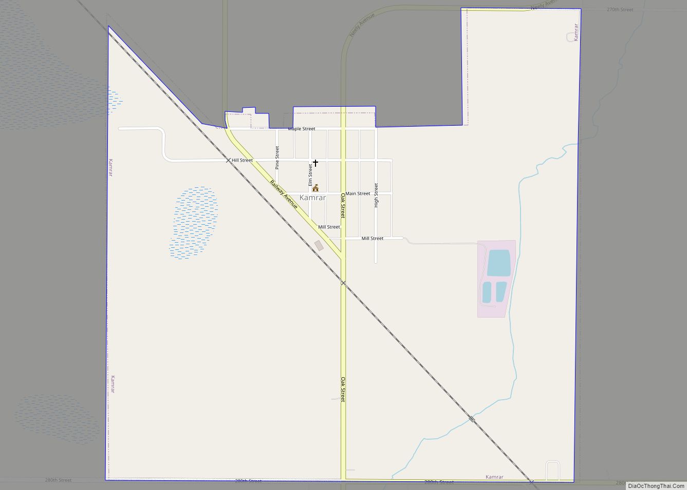
Kamrar is a city in Hamilton County, Iowa, United States. The population was 179 at the time of the 2020 census. Kamrar city overview: Name: Kamrar city LSAD Code: 25 LSAD Description: city (suffix) State: Iowa County: Hamilton County Elevation: 1,122 ft (342 m) Total Area: 0.85 sq mi (2.21 km²) Land Area: 0.85 sq mi (2.21 km²) Water Area: 0.00 sq mi (0.00 km²) Total ... Read more
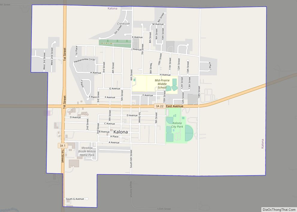
Kalona is a city in Washington County, Iowa. It is part of the Iowa City metropolitan area. The population was 2,630 at the time of the 2020 census. Kalona is the second-largest city in Washington County. Kalona city overview: Name: Kalona city LSAD Code: 25 LSAD Description: city (suffix) State: Iowa County: Washington County Elevation: ... Read more
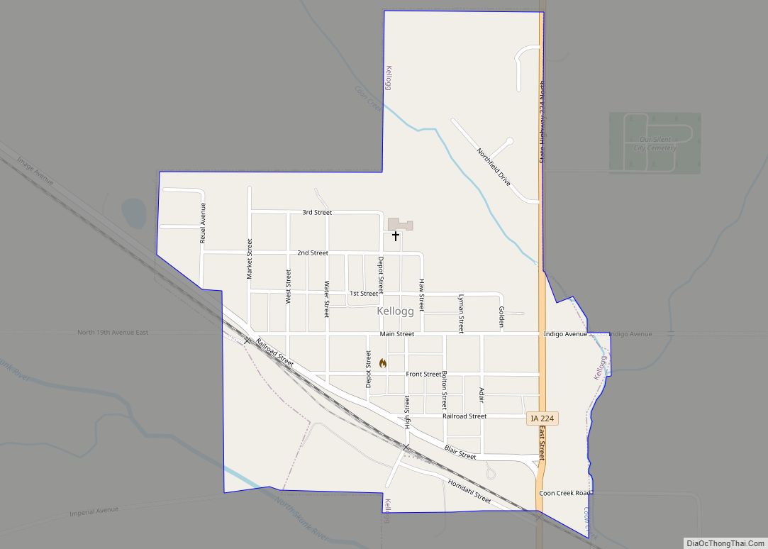
Kellogg is a city in Jasper County, Iowa, United States. The population was 606 at the time of the 2020 census. It was originally named Manning’s Station, then carried the names Jasper City, Kimball, and then finally Kellogg, named for the pioneer settler Judge Abel Avery Kellogg. Kellogg city overview: Name: Kellogg city LSAD Code: ... Read more
