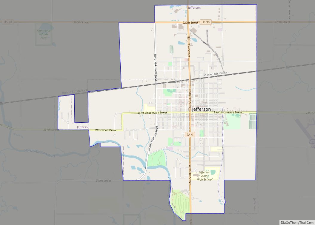
Jefferson is a city in, and the county seat of Greene County, Iowa, United States, along the North Raccoon River. The population was 4,182 at the time of the 2020 census. It is the home of the Mahanay Memorial Bell Tower, 168 feet (51 m) tall, located on the town square, and visible for miles. The tower is named for Floyd Mahanay, a businessman, philanthropist, and former resident. Jefferson is bisected east to west by the old Lincoln Highway (formerly U.S. 30). A new U.S. Route 30 is located approximately one mile to the north.
| Name: | Jefferson city |
|---|---|
| LSAD Code: | 25 |
| LSAD Description: | city (suffix) |
| State: | Iowa |
| County: | Greene County |
| Elevation: | 1,066 ft (325 m) |
| Total Area: | 6.01 sq mi (15.57 km²) |
| Land Area: | 5.97 sq mi (15.46 km²) |
| Water Area: | 0.04 sq mi (0.10 km²) |
| Total Population: | 4,182 |
| Population Density: | 695.6/sq mi (268.59/km²) |
| ZIP code: | 50129 |
| Area code: | 515 |
| FIPS code: | 1939450 |
| GNISfeature ID: | 0457919 |
| Website: | cityofjeffersoniowa.org |
Online Interactive Map
Click on ![]() to view map in "full screen" mode.
to view map in "full screen" mode.
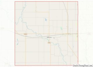
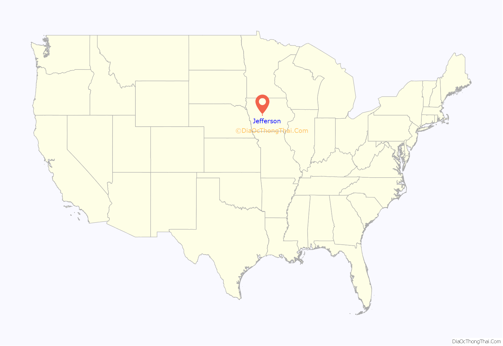
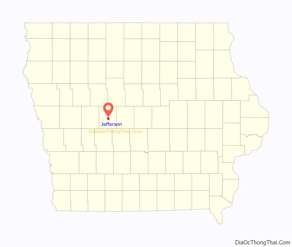
Jefferson location map. Where is Jefferson city?
History
While platted and settled a few years earlier, “New Jefferson” was organized in the winter of 1855–56 and officially incorporated in January 1872. It began as a farming community and remains so today. The first settlers of the new city were the family of George S. Walton who built there in 1855. During the Civil War, Jefferson as well as Greene County contributed its sons to raising Company H, 10th Iowa Infantry (1861) and Company E, 39th Iowa Infantry (1862). The railway came to Jefferson in the decades after the Civil War. Jefferson’s first mayor was Mahlon Head, elected in 1872. Jefferson’s library was completed in 1904 through the generosity of the Carnegie library fund. The stretch of Lincoln Highway that runs through Jefferson was completed c. 1924.
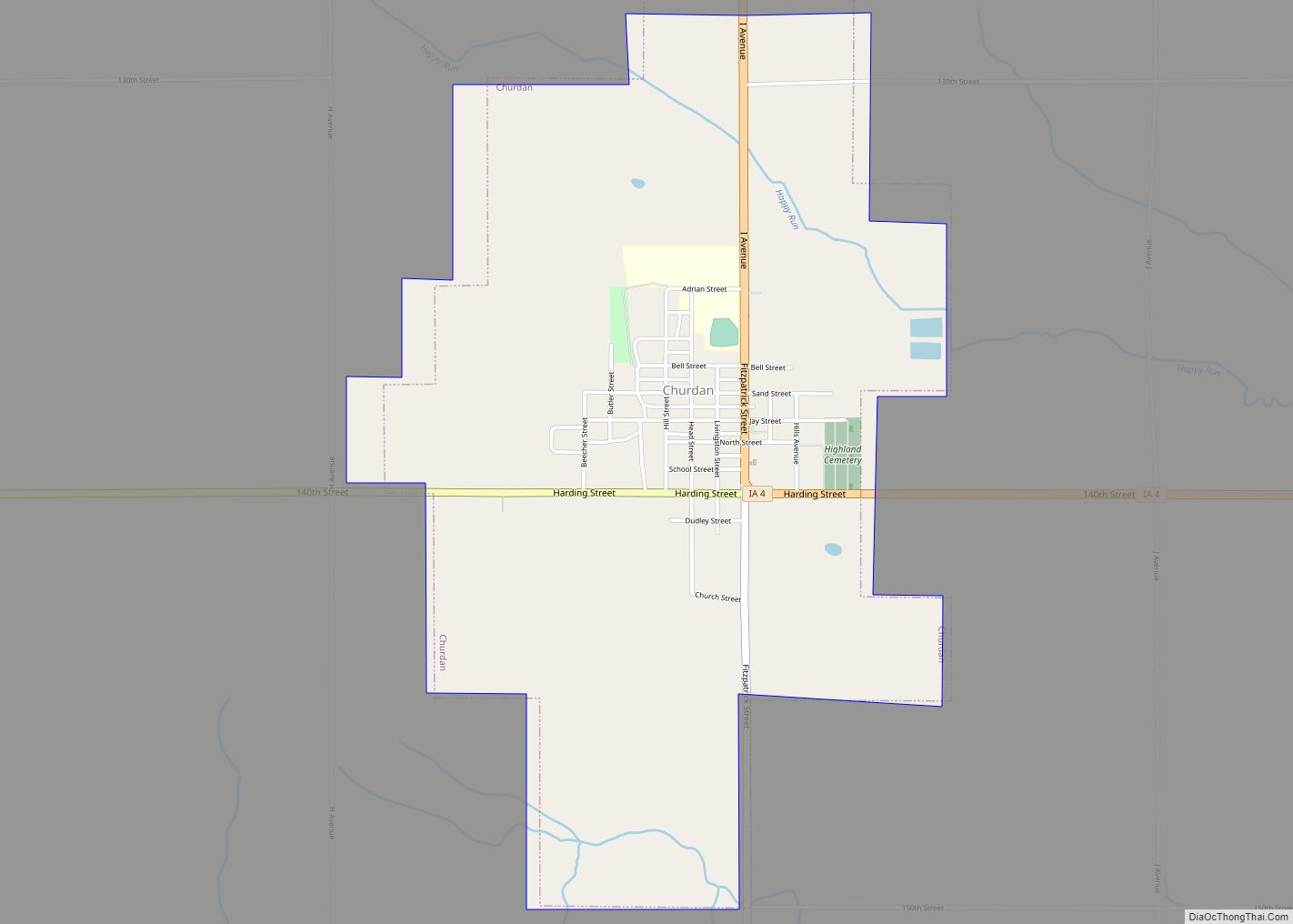
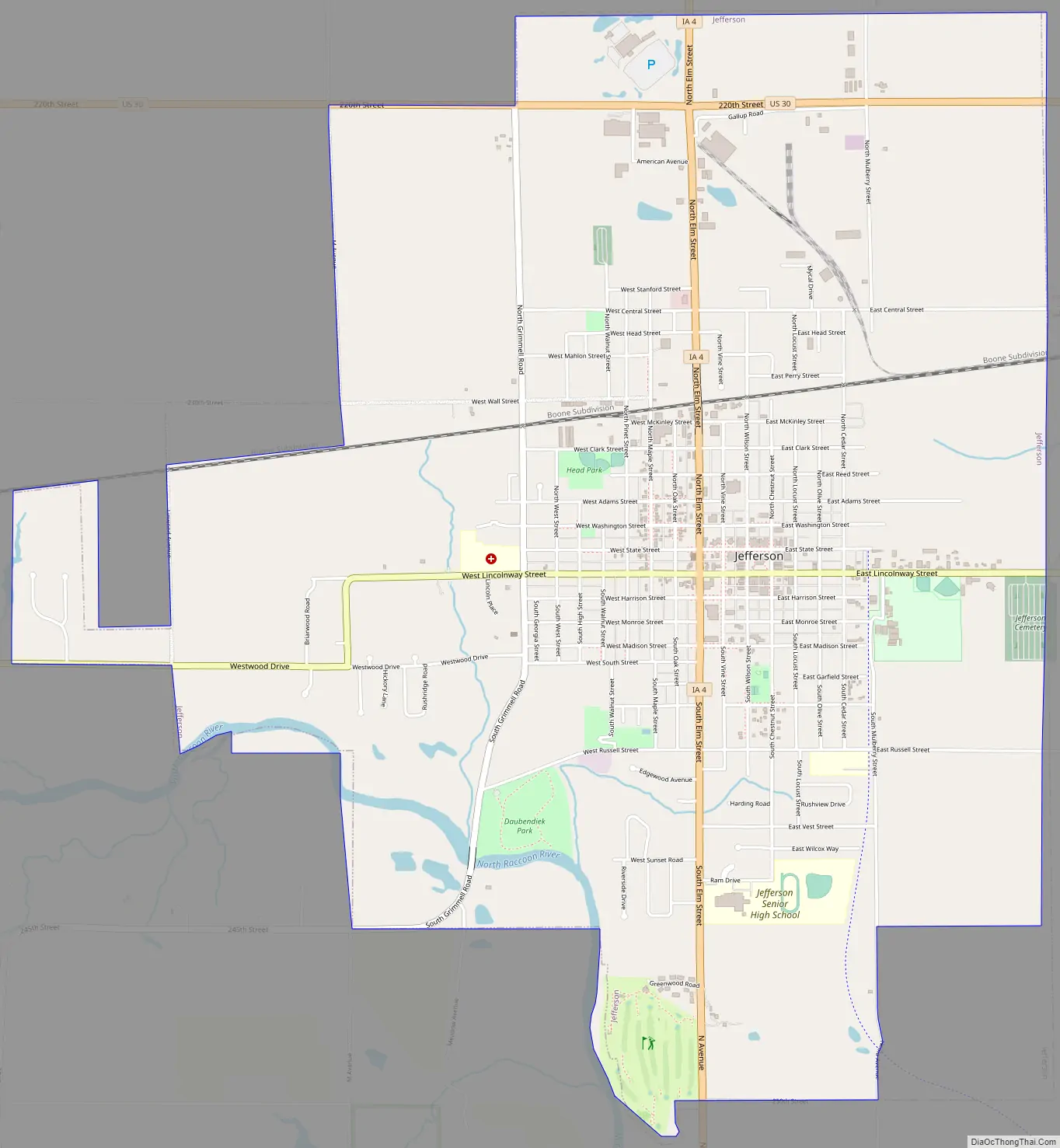
Jefferson Road Map
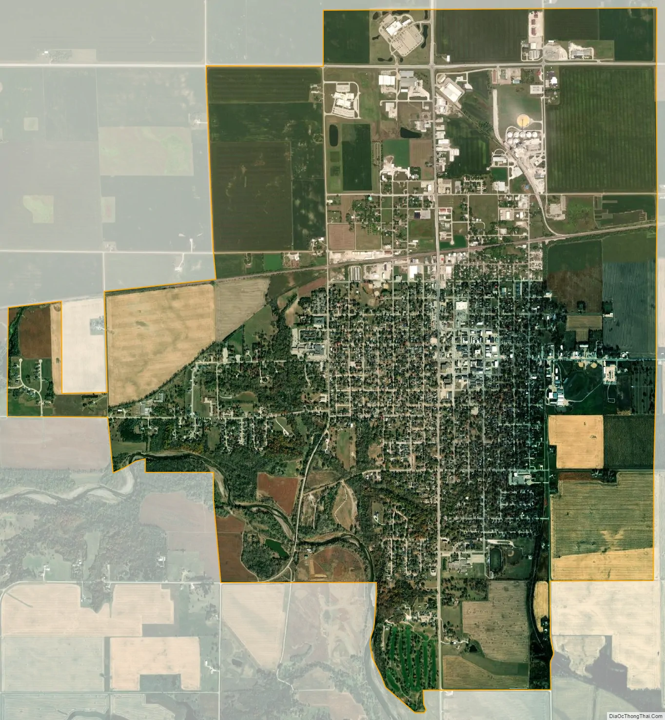
Jefferson city Satellite Map
Geography
According to the United States Census Bureau, the city has a total area of 6.01 square miles (15.57 km), of which 5.97 square miles (15.46 km) is land and 0.04 square miles (0.10 km) is water.
Wikipedia Climate Data Format
See also
Map of Iowa State and its subdivision:- Adair
- Adams
- Allamakee
- Appanoose
- Audubon
- Benton
- Black Hawk
- Boone
- Bremer
- Buchanan
- Buena Vista
- Butler
- Calhoun
- Carroll
- Cass
- Cedar
- Cerro Gordo
- Cherokee
- Chickasaw
- Clarke
- Clay
- Clayton
- Clinton
- Crawford
- Dallas
- Davis
- Decatur
- Delaware
- Des Moines
- Dickinson
- Dubuque
- Emmet
- Fayette
- Floyd
- Franklin
- Fremont
- Greene
- Grundy
- Guthrie
- Hamilton
- Hancock
- Hardin
- Harrison
- Henry
- Howard
- Humboldt
- Ida
- Iowa
- Jackson
- Jasper
- Jefferson
- Johnson
- Jones
- Keokuk
- Kossuth
- Lee
- Linn
- Louisa
- Lucas
- Lyon
- Madison
- Mahaska
- Marion
- Marshall
- Mills
- Mitchell
- Monona
- Monroe
- Montgomery
- Muscatine
- O'Brien
- Osceola
- Page
- Palo Alto
- Plymouth
- Pocahontas
- Polk
- Pottawattamie
- Poweshiek
- Ringgold
- Sac
- Scott
- Shelby
- Sioux
- Story
- Tama
- Taylor
- Union
- Van Buren
- Wapello
- Warren
- Washington
- Wayne
- Webster
- Winnebago
- Winneshiek
- Woodbury
- Worth
- Wright
- Alabama
- Alaska
- Arizona
- Arkansas
- California
- Colorado
- Connecticut
- Delaware
- District of Columbia
- Florida
- Georgia
- Hawaii
- Idaho
- Illinois
- Indiana
- Iowa
- Kansas
- Kentucky
- Louisiana
- Maine
- Maryland
- Massachusetts
- Michigan
- Minnesota
- Mississippi
- Missouri
- Montana
- Nebraska
- Nevada
- New Hampshire
- New Jersey
- New Mexico
- New York
- North Carolina
- North Dakota
- Ohio
- Oklahoma
- Oregon
- Pennsylvania
- Rhode Island
- South Carolina
- South Dakota
- Tennessee
- Texas
- Utah
- Vermont
- Virginia
- Washington
- West Virginia
- Wisconsin
- Wyoming