Johnston is a city in Polk County, Iowa, United States. The population was 24,064 in the 2020 census, an increase of 178% from the 8,649 population in 2000. It is part of the Des Moines–West Des Moines Metropolitan Statistical Area.
Johnston is the location of the headquarters of Pioneer Hi-Bred Seeds, Iowa Public Television, and The Gardeners of America/Men’s Garden Clubs of America. Also located here are the Camp Dodge Military Reservation as well as the Paul J. and Ida Trier House, a private residence designed by famous architect Frank Lloyd Wright, and the Des Moines Weather Forecast Office of the National Weather Service.
This city is also remembered for being the location where Slipknot’s original bassist Paul Gray died in 2010.
| Name: | Johnston city |
|---|---|
| LSAD Code: | 25 |
| LSAD Description: | city (suffix) |
| State: | Iowa |
| County: | Polk County |
| Incorporated: | September 18, 1969 |
| Elevation: | 830 ft (253 m) |
| Total Area: | 20.88 sq mi (54.07 km²) |
| Land Area: | 19.39 sq mi (50.23 km²) |
| Water Area: | 1.48 sq mi (3.84 km²) |
| Total Population: | 24,064 |
| Population Density: | 1,240.92/sq mi (479.12/km²) |
| ZIP code: | 50131 |
| Area code: | 515 |
| FIPS code: | 1939765 |
| GNISfeature ID: | 0457978 |
| Website: | www.cityofjohnston.com |
Online Interactive Map
Click on ![]() to view map in "full screen" mode.
to view map in "full screen" mode.
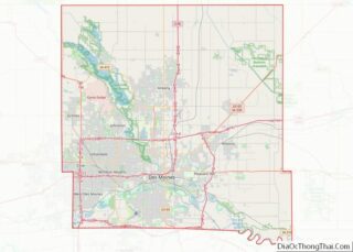
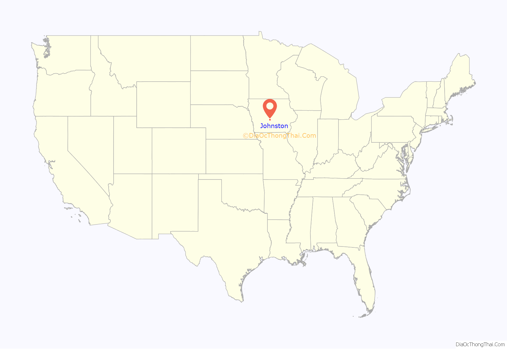
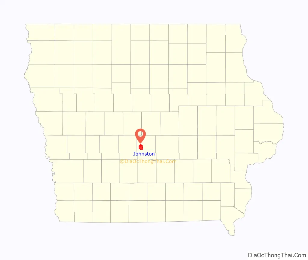
Johnston location map. Where is Johnston city?
History
Johnston was established in 1905 as a station on the Des Moines & Central Iowa Railway between Des Moines and Perry known as Johnston Station. It was named for the railway’s freight supervisor, John F. Johnston. Passenger service along the railroad ended in 1949, and the track has subsequently been removed within city limits.
Voters passed a resolution to incorporate on June 23, 1969. On September 8, the first Mayor and Council were sworn in. Incorporation papers were signed by the Clerk of the District Court on December 11, 1969.
At the time, the Johnston Station area did not become part of the incorporated city because of a state law that prevented a town within three miles (5 km) of another city from incorporating. The neighboring cities of Des Moines and Urbandale were also interested in that land, but in April 1970, Johnston and Urbandale reached an agreement that allowed Johnston to annex the Johnston Station area.
Johnston Road Map
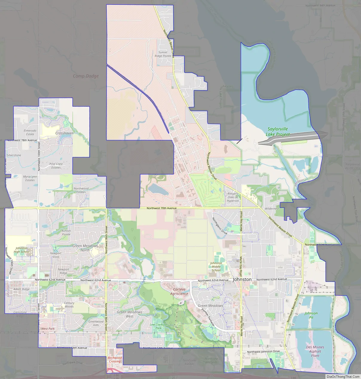
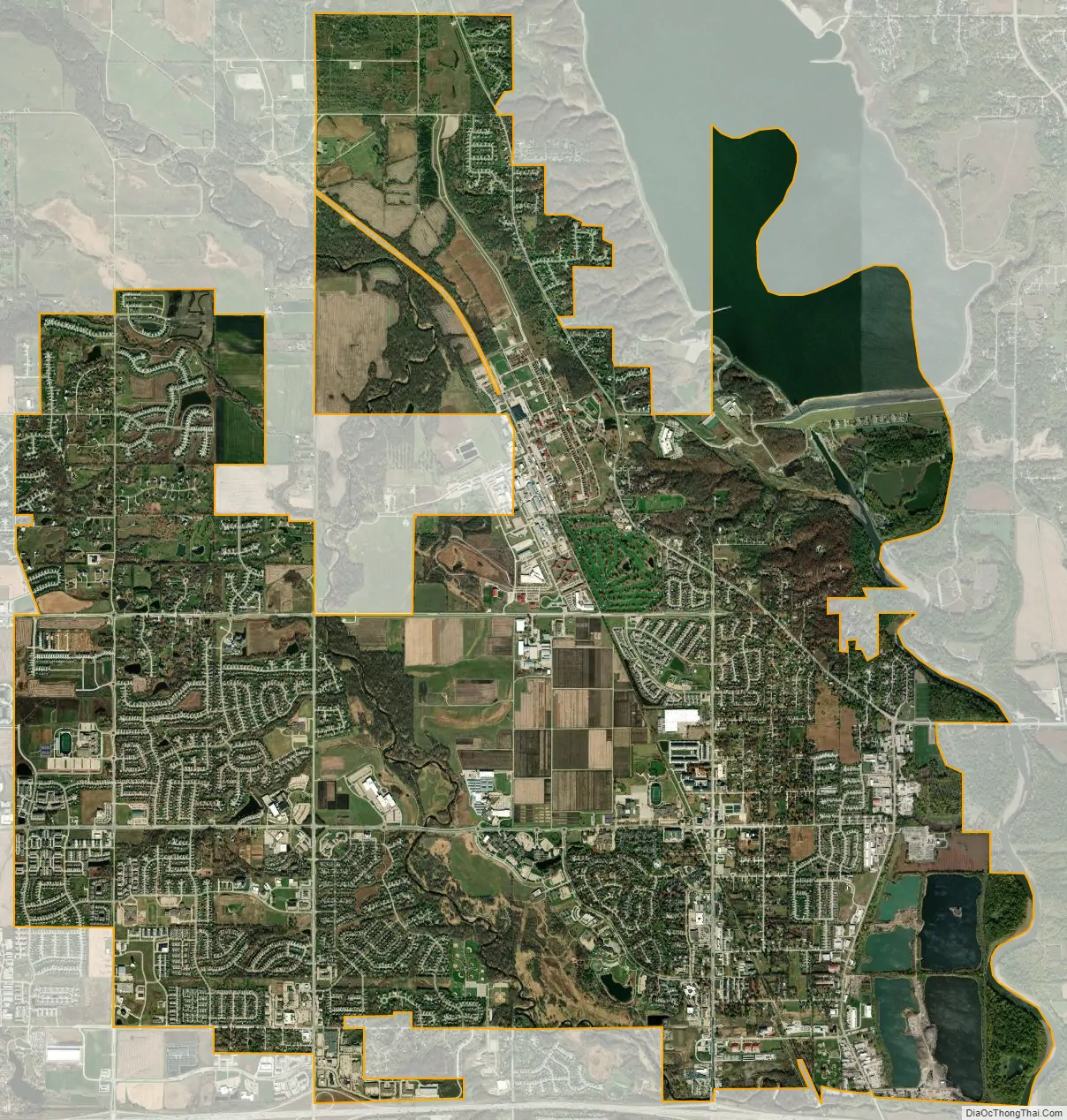
Johnston city Satellite Map
Geography
According to the United States Census Bureau, the city has a total area of 18.37 square miles (47.58 km), of which 17.16 square miles (44.44 km) is land and 1.21 square miles (3.13 km) is water.
The city is bordered on the east by the Des Moines River and the city’s area includes part of Saylorville Reservoir. On the south, the city is bordered by Interstate 80 and to the west, the city limits extend to a half mile east of Iowa Highway 141. The city is bisected by Beaver Creek, which flows southerly through the city until it nearly reaches Interstate 80, at which point the course turn easterly and flows to the Des Moines River.
See also
Map of Iowa State and its subdivision:- Adair
- Adams
- Allamakee
- Appanoose
- Audubon
- Benton
- Black Hawk
- Boone
- Bremer
- Buchanan
- Buena Vista
- Butler
- Calhoun
- Carroll
- Cass
- Cedar
- Cerro Gordo
- Cherokee
- Chickasaw
- Clarke
- Clay
- Clayton
- Clinton
- Crawford
- Dallas
- Davis
- Decatur
- Delaware
- Des Moines
- Dickinson
- Dubuque
- Emmet
- Fayette
- Floyd
- Franklin
- Fremont
- Greene
- Grundy
- Guthrie
- Hamilton
- Hancock
- Hardin
- Harrison
- Henry
- Howard
- Humboldt
- Ida
- Iowa
- Jackson
- Jasper
- Jefferson
- Johnson
- Jones
- Keokuk
- Kossuth
- Lee
- Linn
- Louisa
- Lucas
- Lyon
- Madison
- Mahaska
- Marion
- Marshall
- Mills
- Mitchell
- Monona
- Monroe
- Montgomery
- Muscatine
- O'Brien
- Osceola
- Page
- Palo Alto
- Plymouth
- Pocahontas
- Polk
- Pottawattamie
- Poweshiek
- Ringgold
- Sac
- Scott
- Shelby
- Sioux
- Story
- Tama
- Taylor
- Union
- Van Buren
- Wapello
- Warren
- Washington
- Wayne
- Webster
- Winnebago
- Winneshiek
- Woodbury
- Worth
- Wright
- Alabama
- Alaska
- Arizona
- Arkansas
- California
- Colorado
- Connecticut
- Delaware
- District of Columbia
- Florida
- Georgia
- Hawaii
- Idaho
- Illinois
- Indiana
- Iowa
- Kansas
- Kentucky
- Louisiana
- Maine
- Maryland
- Massachusetts
- Michigan
- Minnesota
- Mississippi
- Missouri
- Montana
- Nebraska
- Nevada
- New Hampshire
- New Jersey
- New Mexico
- New York
- North Carolina
- North Dakota
- Ohio
- Oklahoma
- Oregon
- Pennsylvania
- Rhode Island
- South Carolina
- South Dakota
- Tennessee
- Texas
- Utah
- Vermont
- Virginia
- Washington
- West Virginia
- Wisconsin
- Wyoming