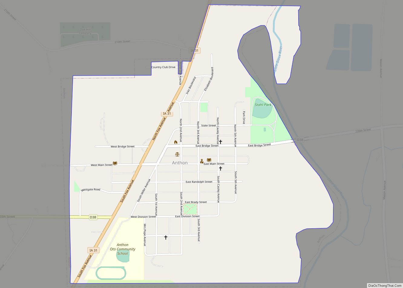
Anthon is a city in Woodbury County in the U.S. state of Iowa. It is part of the Sioux City, IA–NE–SD Metropolitan Statistical Area. The population was 545 at the 2020 census. Anthon was home to Charles Osborne, who had the hiccups continuously for 68 years, and was featured in the Guinness Book of World ... Read more
Iowa Cities and Places
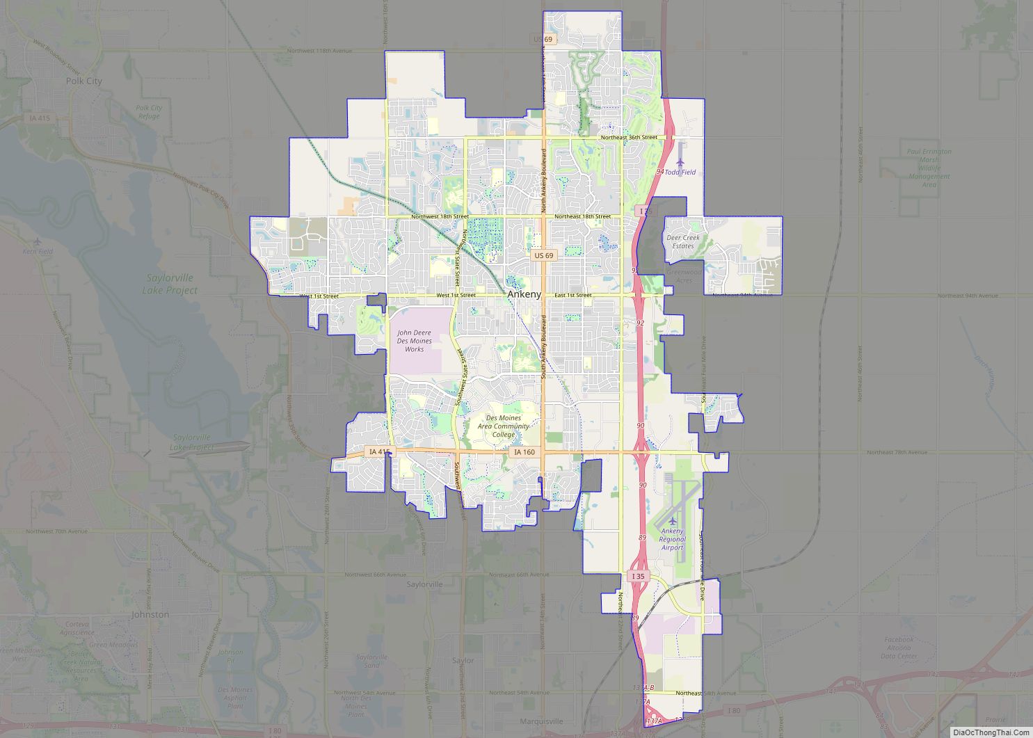
Ankeny (/ˈeɪŋkəni/, /ˈæ-/) is a city in Polk County, Iowa, United States and a suburb of the state capital of Des Moines, as part of the Des Moines-West Des Moines, IA metropolitan statistical area. As of the 2020 census, the population of Ankeny was 67,887, making it the seventh largest city in the state. It ... Read more
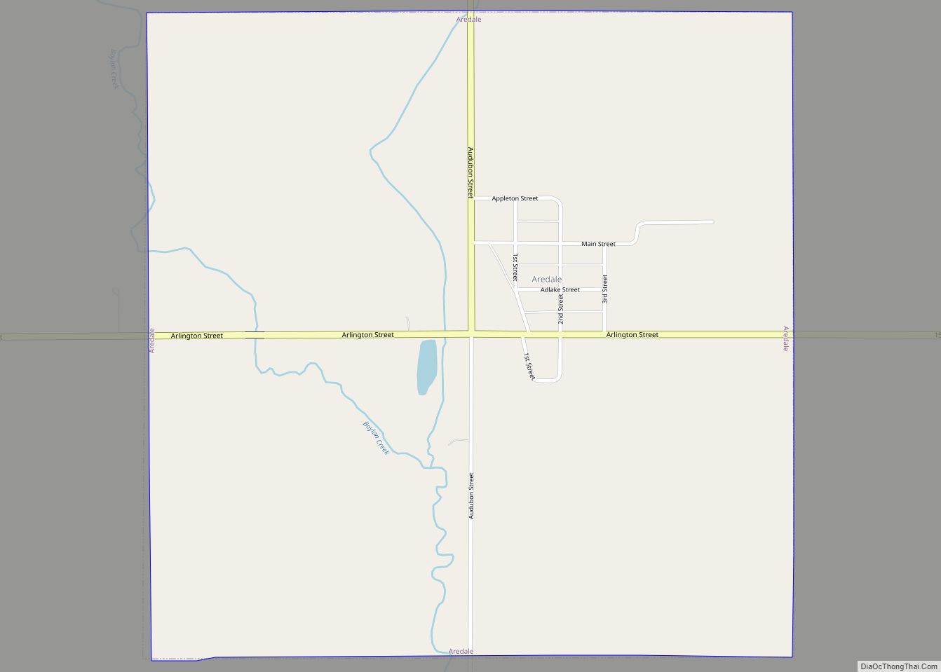
Aredale is a city in Butler County, Iowa, United States. The population was 62 at the 2020 census. Aredale city overview: Name: Aredale city LSAD Code: 25 LSAD Description: city (suffix) State: Iowa County: Butler County Elevation: 1,020 ft (311 m) Total Area: 1.00 sq mi (2.59 km²) Land Area: 1.00 sq mi (2.59 km²) Water Area: 0.00 sq mi (0.00 km²) Total Population: 62 Population ... Read more
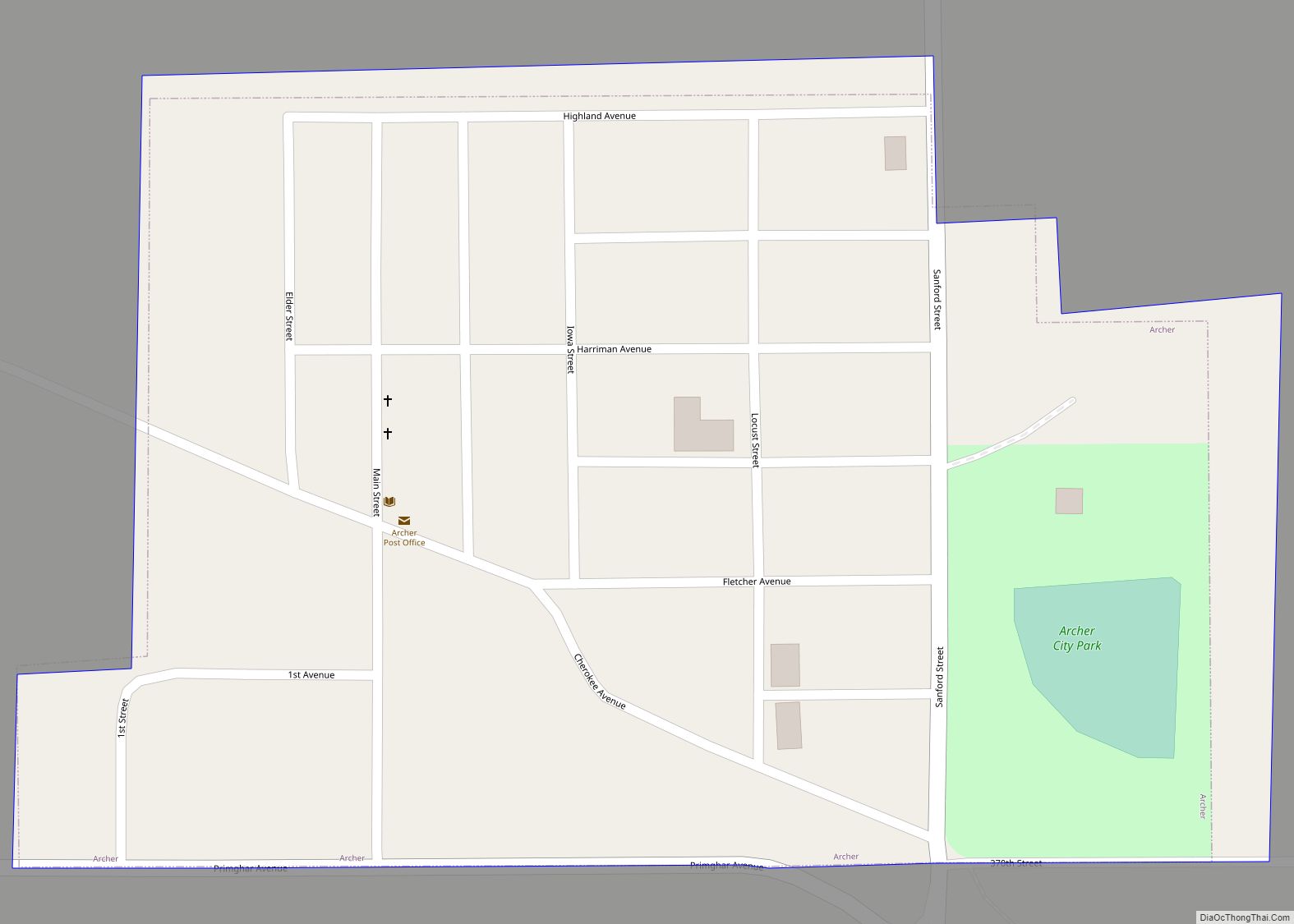
Archer is a city in O’Brien County, Iowa, United States. The population was 117 at the 2020 census. Archer city overview: Name: Archer city LSAD Code: 25 LSAD Description: city (suffix) State: Iowa County: O’Brien County Elevation: 1,470 ft (448 m) Total Area: 0.09 sq mi (0.22 km²) Land Area: 0.09 sq mi (0.22 km²) Water Area: 0.00 sq mi (0.00 km²) Total Population: 117 Population ... Read more
Arcadia is a city in Carroll County, Iowa, United States. The population was 525 at the 2020 census. Arcadia city overview: Name: Arcadia city LSAD Code: 25 LSAD Description: city (suffix) State: Iowa County: Carroll County Elevation: 1,447 ft (441 m) Total Area: 0.99 sq mi (2.56 km²) Land Area: 0.99 sq mi (2.56 km²) Water Area: 0.00 sq mi (0.00 km²) Total Population: 525 Population ... Read more
Arlington is a city in Fayette County, Iowa, United States. The population was 419 in the 2020 census, a decline from the 490 population in the 2000 census. Arlington city overview: Name: Arlington city LSAD Code: 25 LSAD Description: city (suffix) State: Iowa County: Fayette County Elevation: 1,129 ft (344 m) Total Area: 1.00 sq mi (2.60 km²) Land Area: ... Read more
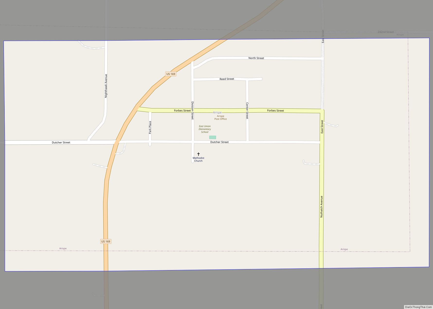
Arispe (/əˈrɪspiː/) is a city in Union County, Iowa, United States. The population was 96 at the 2020 census. It is closely related to the nearby town of Creston. Arispe city overview: Name: Arispe city LSAD Code: 25 LSAD Description: city (suffix) State: Iowa County: Union County Elevation: 1,270 ft (387 m) Total Area: 0.50 sq mi (1.30 km²) Land ... Read more
Arion is a city in Crawford County, Iowa, United States, along the Boyer River. The population was 97 at the 2020 census. Arion city overview: Name: Arion city LSAD Code: 25 LSAD Description: city (suffix) State: Iowa County: Crawford County Elevation: 1,152 ft (351 m) Total Area: 0.50 sq mi (1.29 km²) Land Area: 0.50 sq mi (1.29 km²) Water Area: 0.00 sq mi (0.00 km²) ... Read more
Arthur is an urban settlement in Ida County, Iowa, United States. The population was 222 at the 2020 census. Arthur city overview: Name: Arthur city LSAD Code: 25 LSAD Description: city (suffix) State: Iowa County: Ida County Elevation: 1,293 ft (394 m) Total Area: 0.15 sq mi (0.38 km²) Land Area: 0.15 sq mi (0.38 km²) Water Area: 0.00 sq mi (0.00 km²) Total Population: 222 ... Read more
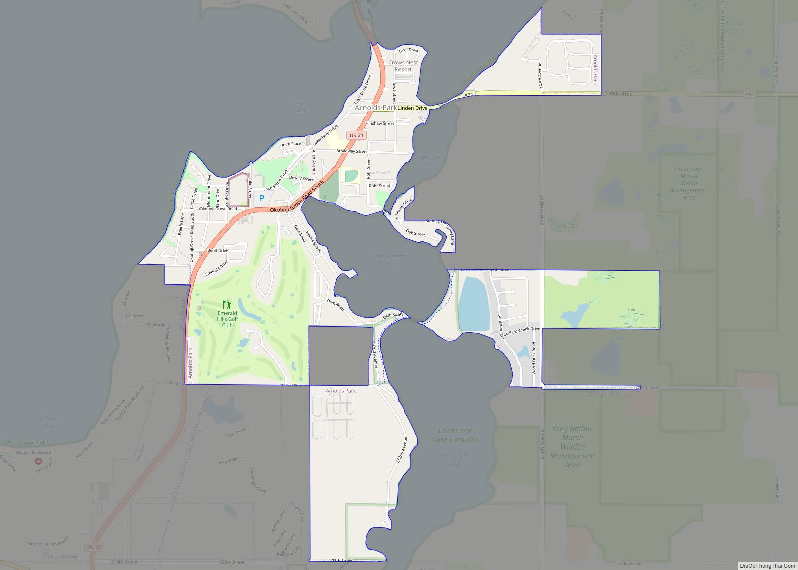
Arnolds Park is a city in Dickinson County, Iowa, United States. The population was 1,110 in the 2020 census, a decline from the 1,162 population in the 2000 census. Arnolds Park city overview: Name: Arnolds Park city LSAD Code: 25 LSAD Description: city (suffix) State: Iowa County: Dickinson County Elevation: 1,424 ft (434 m) Total Area: 1.79 sq mi ... Read more
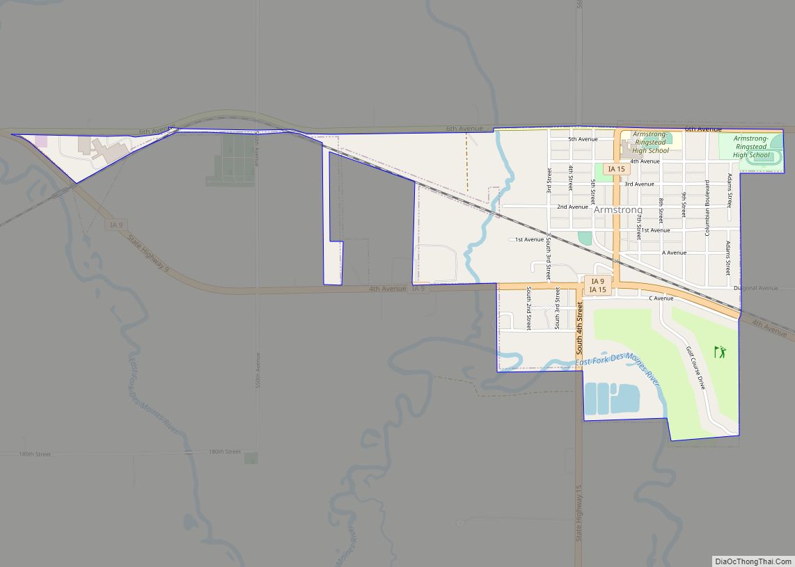
Armstrong is a city in Emmet County, Iowa, United States. The population was 875 at the 2020 census. It was originally known as Armstrong Grove. Armstrong city overview: Name: Armstrong city LSAD Code: 25 LSAD Description: city (suffix) State: Iowa County: Emmet County Elevation: 1,250 ft (381 m) Total Area: 0.88 sq mi (2.29 km²) Land Area: 0.88 sq mi (2.29 km²) Water ... Read more
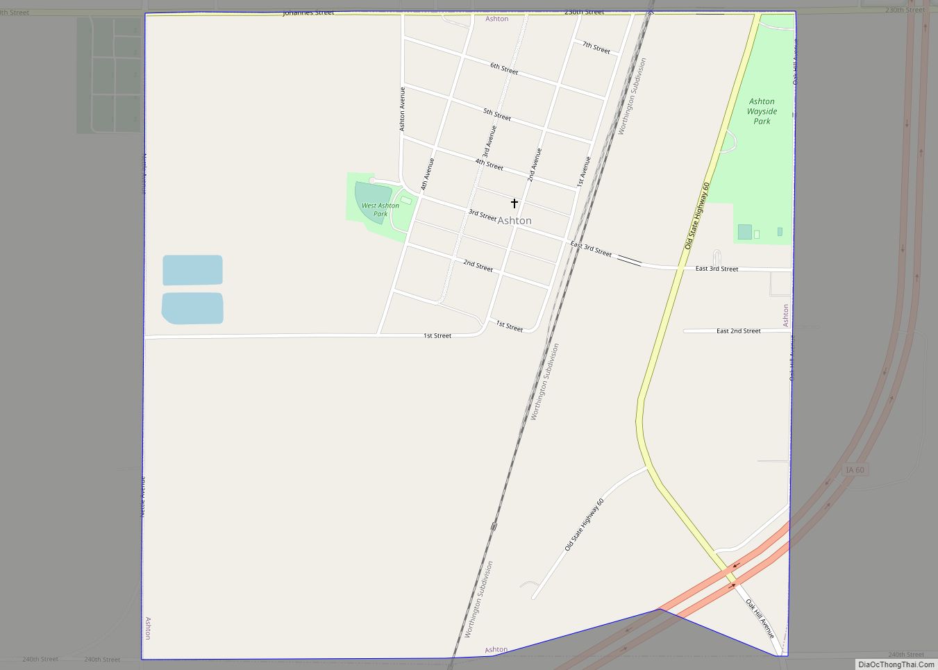
Ashton is a city in Osceola County, Iowa, United States. The population was 436 at the 2020 census. Ashton city overview: Name: Ashton city LSAD Code: 25 LSAD Description: city (suffix) State: Iowa County: Osceola County Elevation: 1,453 ft (443 m) Total Area: 1.13 sq mi (2.93 km²) Land Area: 1.12 sq mi (2.90 km²) Water Area: 0.01 sq mi (0.03 km²) Total Population: 436 Population ... Read more
