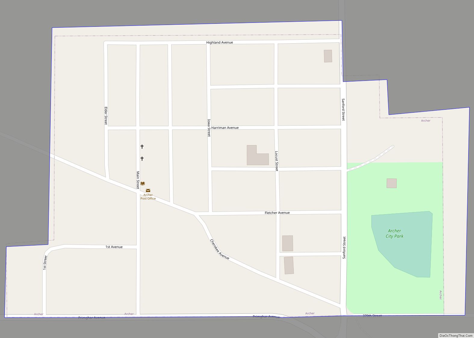
Archer is a city in O’Brien County, Iowa, United States. The population was 117 at the 2020 census.
| Name: | Archer city |
|---|---|
| LSAD Code: | 25 |
| LSAD Description: | city (suffix) |
| State: | Iowa |
| County: | O’Brien County |
| Elevation: | 1,470 ft (448 m) |
| Total Area: | 0.09 sq mi (0.22 km²) |
| Land Area: | 0.09 sq mi (0.22 km²) |
| Water Area: | 0.00 sq mi (0.00 km²) |
| Total Population: | 117 |
| Population Density: | 1,376.47/sq mi (528.90/km²) |
| ZIP code: | 51231 |
| Area code: | 712 |
| FIPS code: | 1902530 |
| GNISfeature ID: | 0465637 |
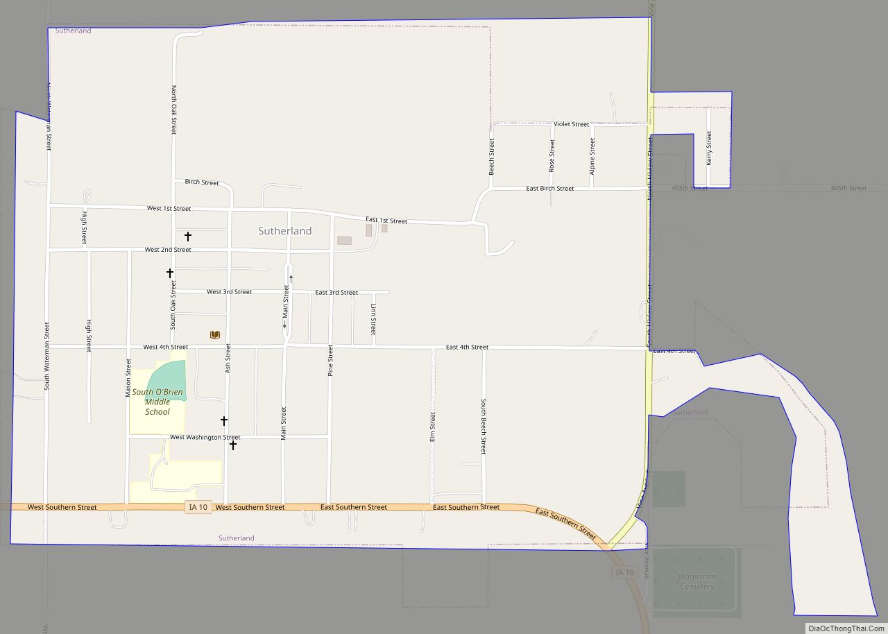
Online Interactive Map
Click on ![]() to view map in "full screen" mode.
to view map in "full screen" mode.
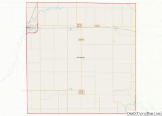
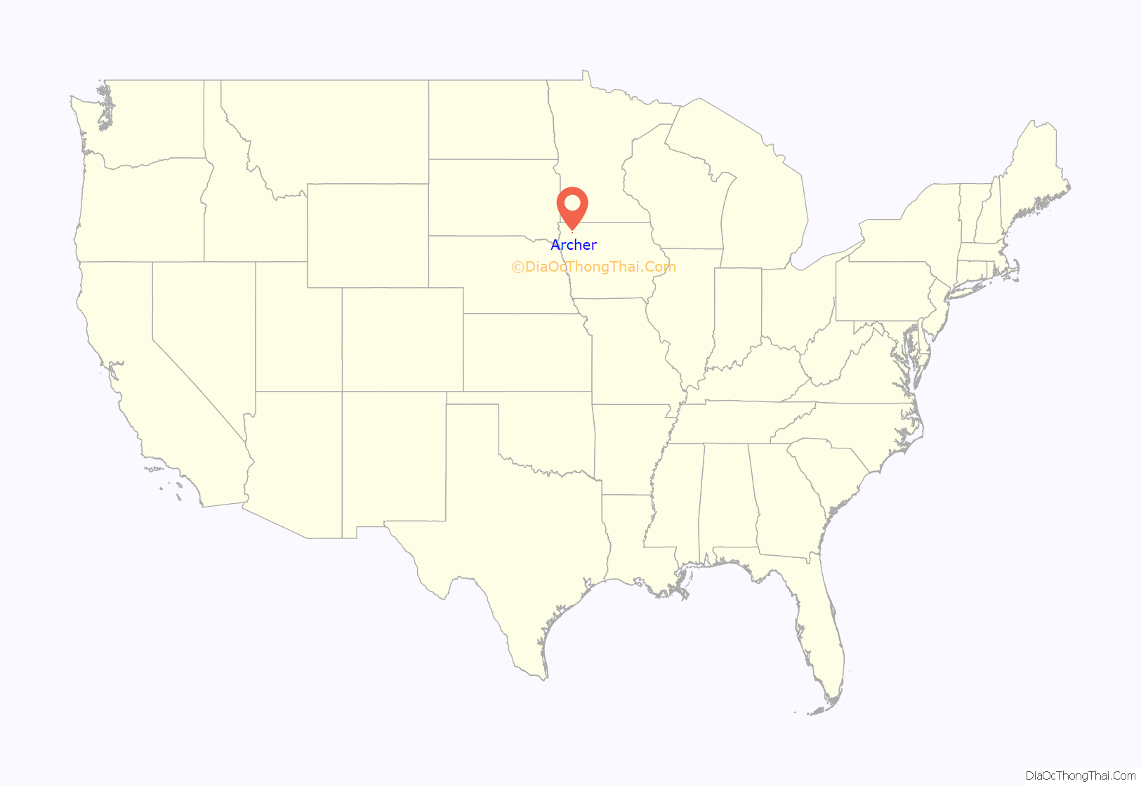
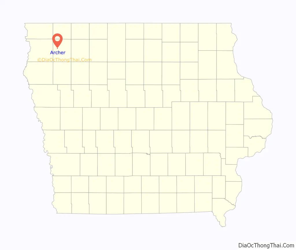
Archer location map. Where is Archer city?
History
Archer was founded in 1888. It was named for John Archer, who owned the town site.
Longstanding Mayor Bill Engeltjes oversaw the centennial celebration of 1988. Replete with a parade, fashion show, street dance, and “greased pig” contest, the celebration honored Northwest Iowan heritage.
The town of Archer supports two churches: one Methodist and one Reformed.
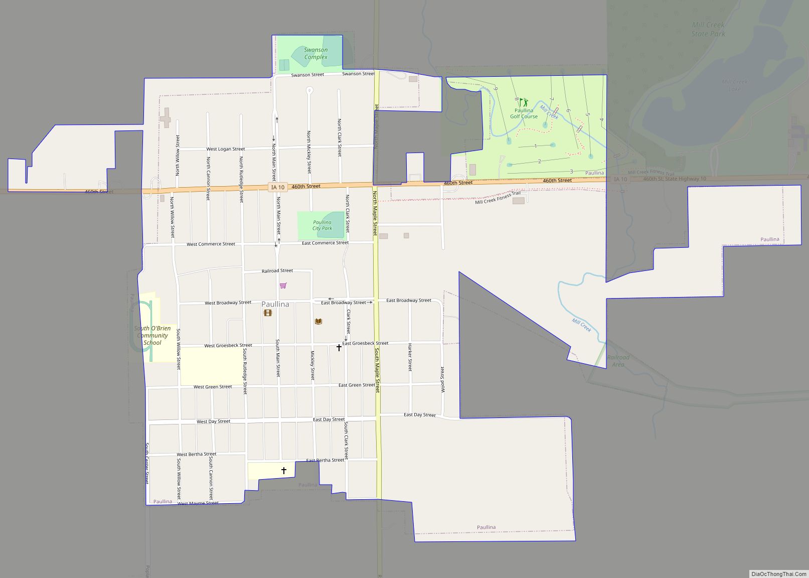
Archer Road Map

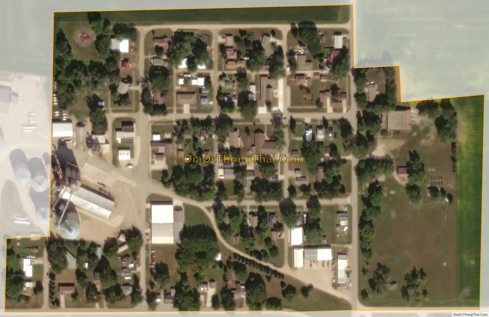
Archer city Satellite Map
Geography
Archer is located at 43°6′55″N 95°44′40″W / 43.11528°N 95.74444°W / 43.11528; -95.74444 (43.115204, -95.744376).
According to the United States Census Bureau, the city has a total area of 0.09 square miles (0.23 km), all land.
See also
Map of Iowa State and its subdivision:- Adair
- Adams
- Allamakee
- Appanoose
- Audubon
- Benton
- Black Hawk
- Boone
- Bremer
- Buchanan
- Buena Vista
- Butler
- Calhoun
- Carroll
- Cass
- Cedar
- Cerro Gordo
- Cherokee
- Chickasaw
- Clarke
- Clay
- Clayton
- Clinton
- Crawford
- Dallas
- Davis
- Decatur
- Delaware
- Des Moines
- Dickinson
- Dubuque
- Emmet
- Fayette
- Floyd
- Franklin
- Fremont
- Greene
- Grundy
- Guthrie
- Hamilton
- Hancock
- Hardin
- Harrison
- Henry
- Howard
- Humboldt
- Ida
- Iowa
- Jackson
- Jasper
- Jefferson
- Johnson
- Jones
- Keokuk
- Kossuth
- Lee
- Linn
- Louisa
- Lucas
- Lyon
- Madison
- Mahaska
- Marion
- Marshall
- Mills
- Mitchell
- Monona
- Monroe
- Montgomery
- Muscatine
- O'Brien
- Osceola
- Page
- Palo Alto
- Plymouth
- Pocahontas
- Polk
- Pottawattamie
- Poweshiek
- Ringgold
- Sac
- Scott
- Shelby
- Sioux
- Story
- Tama
- Taylor
- Union
- Van Buren
- Wapello
- Warren
- Washington
- Wayne
- Webster
- Winnebago
- Winneshiek
- Woodbury
- Worth
- Wright
- Alabama
- Alaska
- Arizona
- Arkansas
- California
- Colorado
- Connecticut
- Delaware
- District of Columbia
- Florida
- Georgia
- Hawaii
- Idaho
- Illinois
- Indiana
- Iowa
- Kansas
- Kentucky
- Louisiana
- Maine
- Maryland
- Massachusetts
- Michigan
- Minnesota
- Mississippi
- Missouri
- Montana
- Nebraska
- Nevada
- New Hampshire
- New Jersey
- New Mexico
- New York
- North Carolina
- North Dakota
- Ohio
- Oklahoma
- Oregon
- Pennsylvania
- Rhode Island
- South Carolina
- South Dakota
- Tennessee
- Texas
- Utah
- Vermont
- Virginia
- Washington
- West Virginia
- Wisconsin
- Wyoming