Ankeny (/ˈeɪŋkəni/, /ˈæ-/) is a city in Polk County, Iowa, United States and a suburb of the state capital of Des Moines, as part of the Des Moines-West Des Moines, IA metropolitan statistical area. As of the 2020 census, the population of Ankeny was 67,887, making it the seventh largest city in the state. It is one of the fastest-growing cities in Iowa. Currently, the city’s incorporated area totals 29.14 square miles.
In 2008, Ankeny was recognized as one of the top ten towns for families by Family Circle. In 2009, Ankeny was ranked No. 62 in MONEY Magazine’s top 100 places to live list.
| Name: | Ankeny city |
|---|---|
| LSAD Code: | 25 |
| LSAD Description: | city (suffix) |
| State: | Iowa |
| County: | Polk County |
| Incorporated: | February 28, 1903 |
| Elevation: | 909 ft (277 m) |
| Total Area: | 30.47 sq mi (78.92 km²) |
| Land Area: | 30.47 sq mi (78.92 km²) |
| Water Area: | 0.00 sq mi (0.00 km²) |
| Total Population: | 67,887 |
| Population Density: | 2,227.92/sq mi (860.21/km²) |
| ZIP code: | 50023, 50021, 50015 |
| Area code: | 515 |
| FIPS code: | 1902305 |
| GNISfeature ID: | 0454194 |
| Website: | www.ankenyiowa.gov |
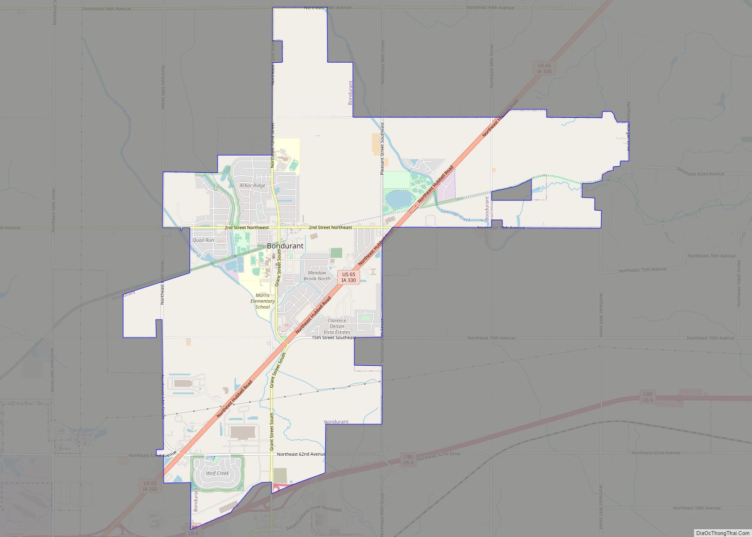
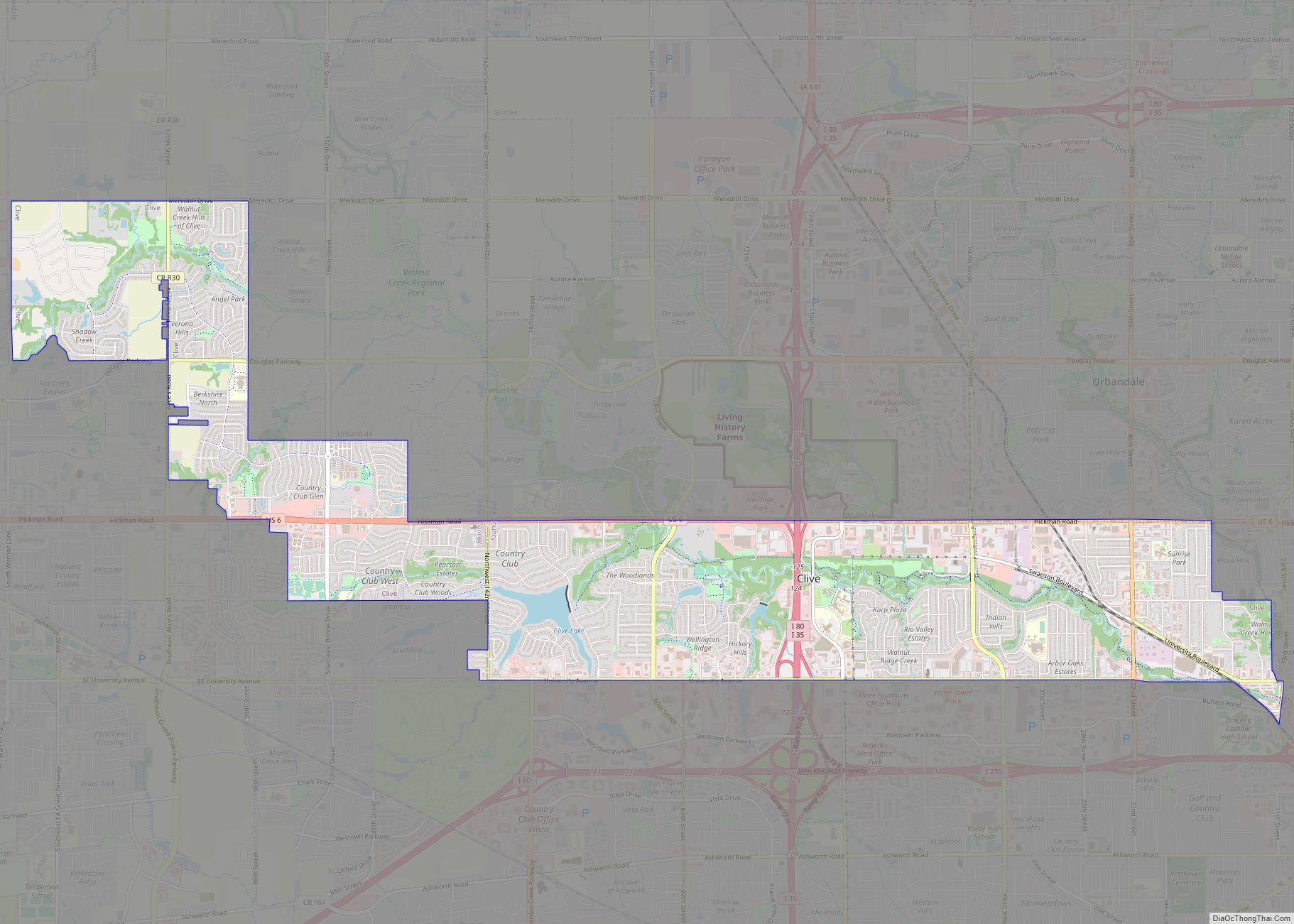
Online Interactive Map
Click on ![]() to view map in "full screen" mode.
to view map in "full screen" mode.
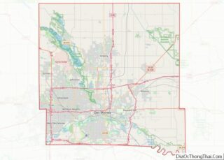
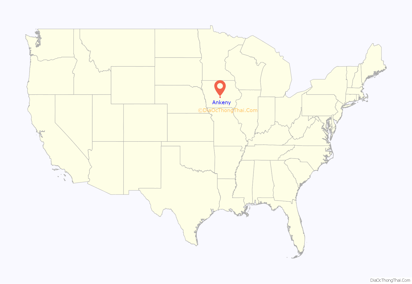
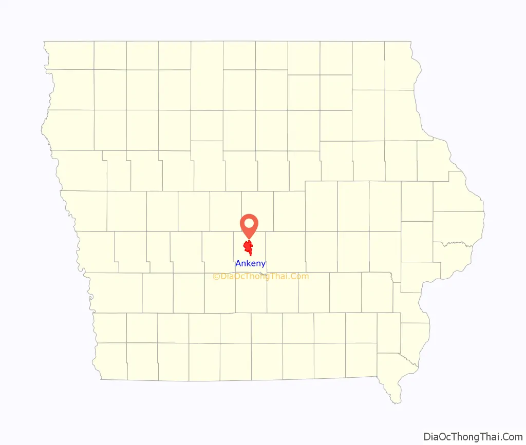
Ankeny location map. Where is Ankeny city?
History
Ankeny was founded as an agrarian community on April 22, 1875, by John Fletcher Ankeny and Sarah “Sally” Ankeny (née Wolgamot) on eighty acres purchased on July 11, 1874, for US$1,600. The town, a single square mile, was formally incorporated on February 28, 1903.
The railroad was eventually laid from Des Moines to Ames, via Ankeny. This rail was completed in 1874 and passenger service established on July 11, 1880, for 33 cents. In the 19th century, the city’s industry was primarily agriculture — specifically sorghum and swine production. The former was processed at a nearby mill, while the latter were driven to the market at Keokuk, Iowa.
20th century
A local newspaper, the Ankeny Times, began publication on May 17, 1902. Utilities continued to slowly develop with telephone service in 1903 and sparse electricity in 1907. Standard residential electricity only became widespread in 1919 after the Central Light and Power Company was authorized to construct a power plant and operate in the city.
Ankeny’s first fire department, a volunteer department, was established in 1907 and sparsely outfitted. Four significant fires ravaged the business district (locally known as uptown) between 1932 and 1940, but businesses rebuilt.
In the early 20th century, coal mining became significant as many companies opened shafts and mines near the city in 1903, 1907, and 1908. The Enterprise Coal Company utilized Ankeny as a company town and went on to produce over 100,000 tons of coal in 1914, ranking among the top 24 coal producers in the state. In 1912, United Mine Workers Local 2476 in Ankeny had 246 members, over half of the total population at the time, and Local 2511 in Enterprise had 395 members.
Prior to the 1930s, most of the land in Ankeny found agricultural use: however, manufacturing became increasingly significant. In the 1940s, amidst World War II, the US federal government vacated and seized farms via eminent domain in 1941 for the construction of a military ordnance plant. The plant was fully operational from 1942 until being put on standby on V.E. Day, 1945 and officially closed immediately prior to VP day.
Post-World War II, Deere & Company purchased the factory in 1947, which began to manufacture agricultural equipment under the new name John Deere Des Moines Works. The rest of the land surrounding the plant was purchased by Iowa State University for agricultural research.
In 1958, mail delivery to residences began. The same year, a second local newspaper, the Ankeny Press-Citizen, began publication on October 1. The city’s status was upgraded in 1961 from town to city by the state and federal government. In 1966, the Ankeny Times stopped publication.
In August 1967, Des Moines Area Community College purchased 240 acres on the southeast of the Iowa State University plot: construction began in 1968 on a new main campus (a.k.a. Ankeny Campus). Construction on main facilities continued through the 1970s. Also in the summer of 1967, Faith Baptist Bible College and Theological Seminary was established in Ankeny. The college was formerly based in Omaha, Nebraska and known as Omaha Bible Institute (OBI) and Omaha Baptist Bible College (OBBC).
An F4 tornado struck the city in June 1974, along with Des Moines, Pleasant Hill, Runnells, Boundurant, and Carlisle. Casualties totaled two dead and fifty injured. Local Ankeny stores offered discounts in the wake of the tornado.
In 1989, public and private interests began planning for a local airport in northeast Polk County. Ankeny Regional Airport, the result of the project, opened in February 1994, with the first flight being a Cessna 182 Skylane.
21st century
In 2003, changes in Iowa state law allowed Iowa State University to sell off its research plot near Ankeny, which it did to the city in June 2005 for $23.6 million. The year prior, in 2004, the city government requested proposals for a new district called Prairie Trail to be created on the plot. Later in September 2005, the city sold the land to Dennis Albaugh, whose company submitted the chosen proposal, for the same price. The city agreed to invest up to $20 million in basic infrastructure for the district, which Albaugh’s company agreed to match and enter into a Civic Trust Fund to be used for public facilities.
In May 2017, an $8.5 million bond referendum was successfully held to create a new, modern library. The project, having an overall budget of $25 million, broke ground on July 1, 2018. The old Kirkendall Public Library had been used since 1996 and had 26,000 square feet (2,400 m) while the new library has 55,000 square feet (5,100 m) of space. The new Kirkendall Public Library opened in February 2020.
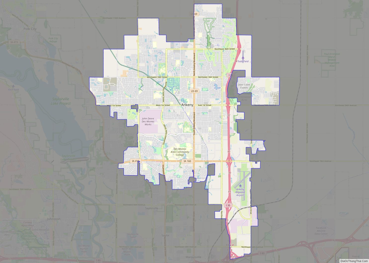
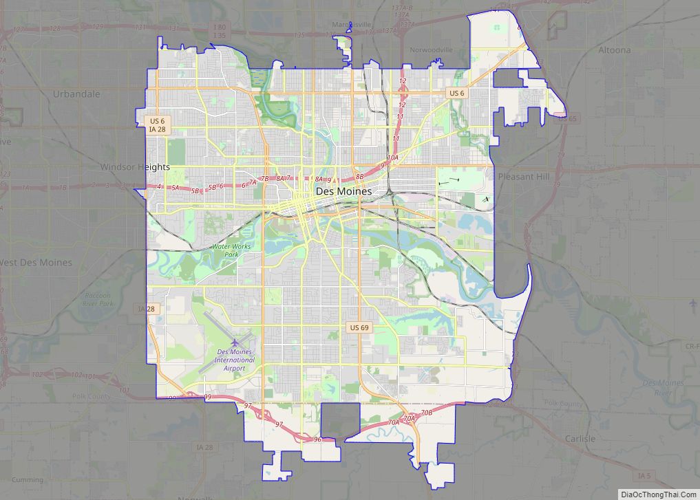
Ankeny Road Map
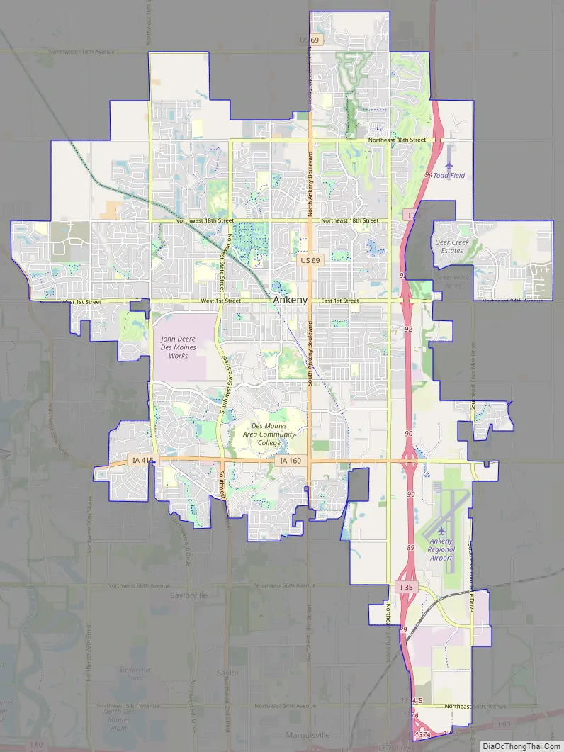
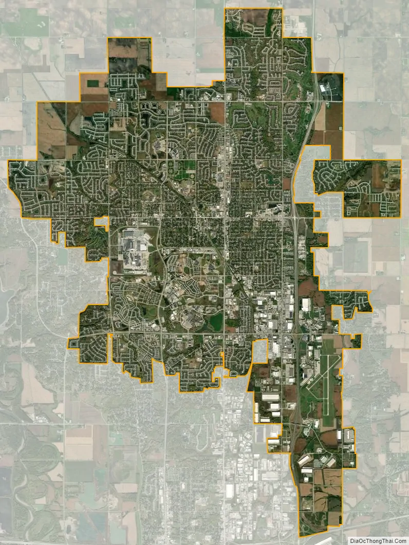
Ankeny city Satellite Map
Geography
Ankeny is located in north-central Polk County. It is bordered on the east by Interstate 35, with U.S. Route 69 running through the center of the town. Most of the area of Ankeny is dry land with a small number of park ponds and streams. According to the United States Census Bureau, the city has a total area of 29.33 square miles (75.96 km), all land. The City itself states that 29.14 square miles (75.5 km) of that land is incorporated.
Like most of Polk County, Ankeny exists at the bottom area of the Des Moines Lobe, a topographical landscape area, in an area known as the Bemis Advance. The Lobe was formed during the Wisconsin glaciation leaving significant deposits resulting in an area with low relief.
The upper sediments Ankeny sits upon are primarily a variable mixture of silt, sand, gravel, and loam types less than 8 meters in depth. The water table is seasonally elevated. The bedrock the city sits on is part of the Cherokee Group and composed of primarily grey shale and sandstone, with secondary black shale, coal, and mudstone.
See also
Map of Iowa State and its subdivision:- Adair
- Adams
- Allamakee
- Appanoose
- Audubon
- Benton
- Black Hawk
- Boone
- Bremer
- Buchanan
- Buena Vista
- Butler
- Calhoun
- Carroll
- Cass
- Cedar
- Cerro Gordo
- Cherokee
- Chickasaw
- Clarke
- Clay
- Clayton
- Clinton
- Crawford
- Dallas
- Davis
- Decatur
- Delaware
- Des Moines
- Dickinson
- Dubuque
- Emmet
- Fayette
- Floyd
- Franklin
- Fremont
- Greene
- Grundy
- Guthrie
- Hamilton
- Hancock
- Hardin
- Harrison
- Henry
- Howard
- Humboldt
- Ida
- Iowa
- Jackson
- Jasper
- Jefferson
- Johnson
- Jones
- Keokuk
- Kossuth
- Lee
- Linn
- Louisa
- Lucas
- Lyon
- Madison
- Mahaska
- Marion
- Marshall
- Mills
- Mitchell
- Monona
- Monroe
- Montgomery
- Muscatine
- O'Brien
- Osceola
- Page
- Palo Alto
- Plymouth
- Pocahontas
- Polk
- Pottawattamie
- Poweshiek
- Ringgold
- Sac
- Scott
- Shelby
- Sioux
- Story
- Tama
- Taylor
- Union
- Van Buren
- Wapello
- Warren
- Washington
- Wayne
- Webster
- Winnebago
- Winneshiek
- Woodbury
- Worth
- Wright
- Alabama
- Alaska
- Arizona
- Arkansas
- California
- Colorado
- Connecticut
- Delaware
- District of Columbia
- Florida
- Georgia
- Hawaii
- Idaho
- Illinois
- Indiana
- Iowa
- Kansas
- Kentucky
- Louisiana
- Maine
- Maryland
- Massachusetts
- Michigan
- Minnesota
- Mississippi
- Missouri
- Montana
- Nebraska
- Nevada
- New Hampshire
- New Jersey
- New Mexico
- New York
- North Carolina
- North Dakota
- Ohio
- Oklahoma
- Oregon
- Pennsylvania
- Rhode Island
- South Carolina
- South Dakota
- Tennessee
- Texas
- Utah
- Vermont
- Virginia
- Washington
- West Virginia
- Wisconsin
- Wyoming