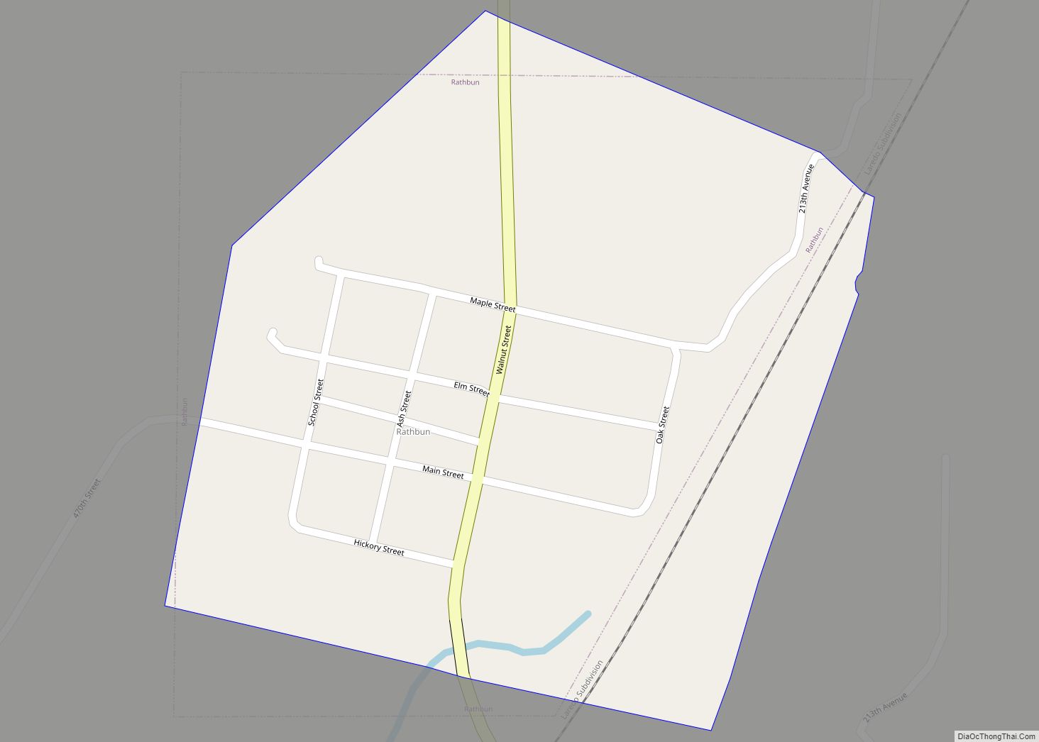
Rathbun is a city in Appanoose County, Iowa, United States. The population was 43 at the time of the 2020 census. Rathbun city overview: Name: Rathbun city LSAD Code: 25 LSAD Description: city (suffix) State: Iowa County: Appanoose County Elevation: 938 ft (286 m) Total Area: 0.21 sq mi (0.55 km²) Land Area: 0.21 sq mi (0.55 km²) Water Area: 0.00 sq mi (0.00 km²) Total ... Read more
Iowa Cities and Places
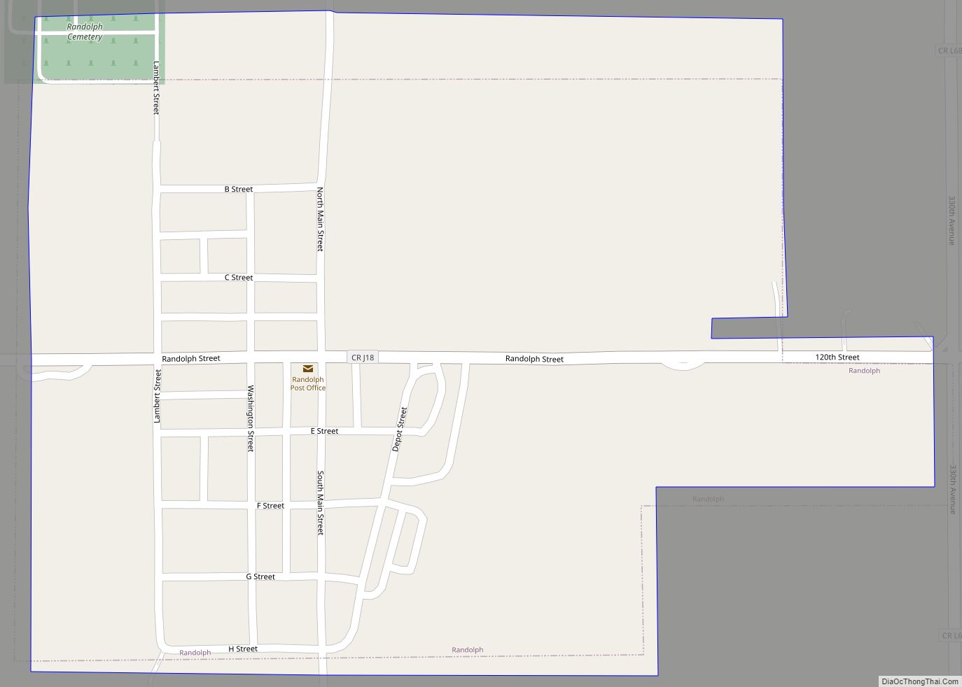
Randolph is a city in Fremont County, Iowa, United States. The population was 189 at the time of the 2020 census. It is the birthplace of Virginia Smith, Republican U.S. representative from the 3rd District of Nebraska from 1975 until 1991. Randolph city overview: Name: Randolph city LSAD Code: 25 LSAD Description: city (suffix) State: ... Read more
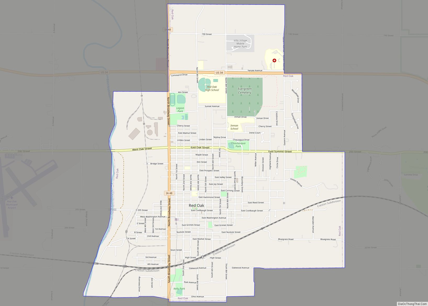
Red Oak is a city in, and the county seat of, Montgomery County, Iowa, United States, located along the East Nishnabotna River. The population was 5,362 in the 2020 census, a decline from the 6,197 population in 2000. Red Oak city overview: Name: Red Oak city LSAD Code: 25 LSAD Description: city (suffix) State: Iowa ... Read more
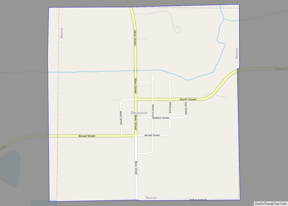
Reasnor is a city in Jasper County, Iowa, United States. The population was 152 at the time of the 2020 census. Reasnor city overview: Name: Reasnor city LSAD Code: 25 LSAD Description: city (suffix) State: Iowa County: Jasper County Elevation: 764 ft (233 m) Total Area: 0.56 sq mi (1.44 km²) Land Area: 0.56 sq mi (1.44 km²) Water Area: 0.00 sq mi (0.00 km²) Total ... Read more
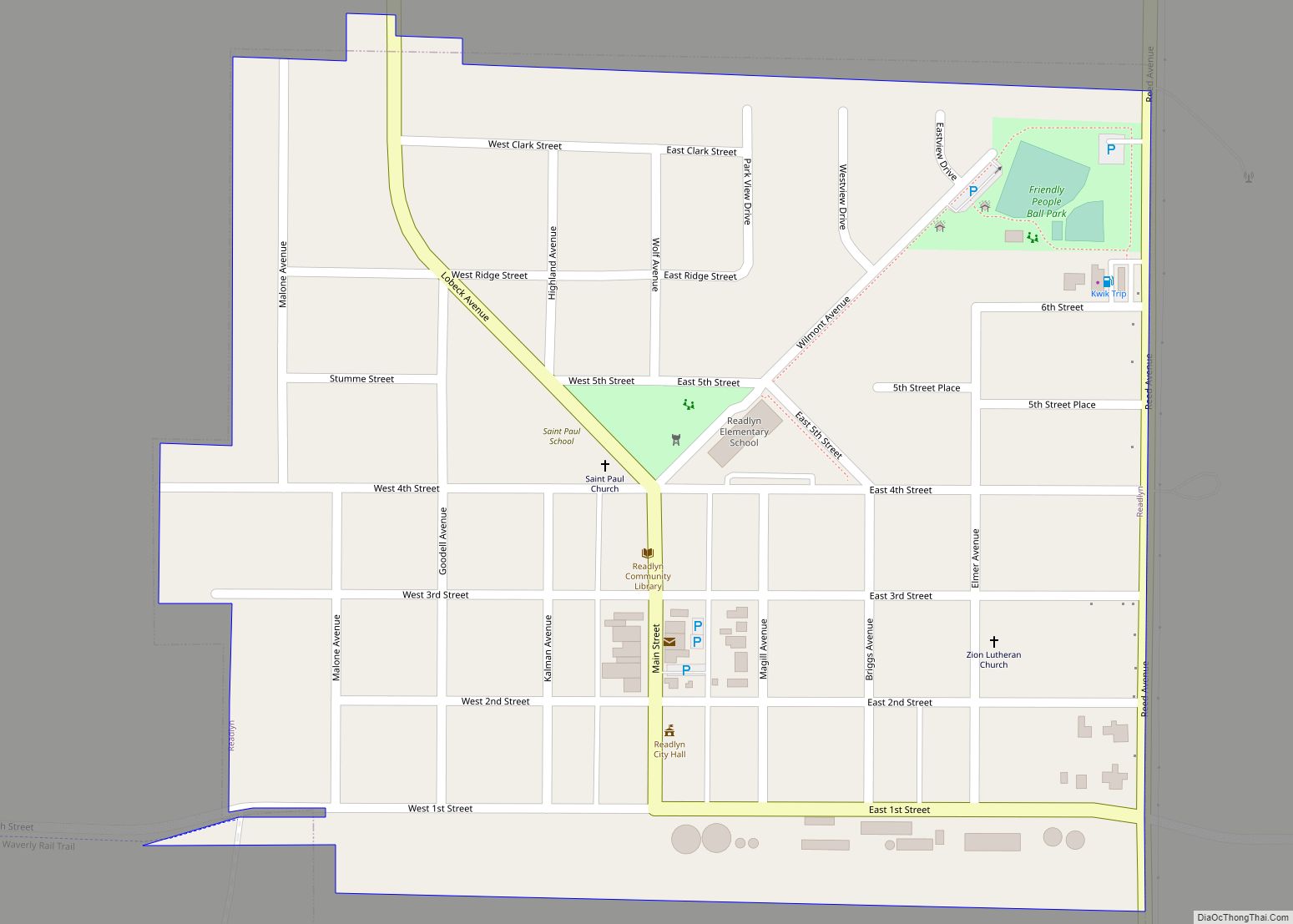
Readlyn is a city in Bremer County, Iowa, United States. The population was 845 at the time of the 2020 census. It is part of the Waterloo–Cedar Falls Metropolitan Statistical Area. Readlyn city overview: Name: Readlyn city LSAD Code: 25 LSAD Description: city (suffix) State: Iowa County: Bremer County Elevation: 1,033 ft (315 m) Total Area: 0.33 sq mi ... Read more
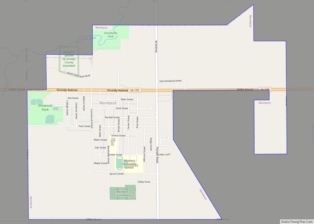
Reinbeck is a city in Grundy County, Iowa, United States. The population was 1,662 at the 2020 census—a five percent decrease from the population of 1,751 in 2000. It is part of the Waterloo–Cedar Falls Metropolitan Statistical Area and is in the Cedar Valley. Reinbeck city overview: Name: Reinbeck city LSAD Code: 25 LSAD Description: ... Read more
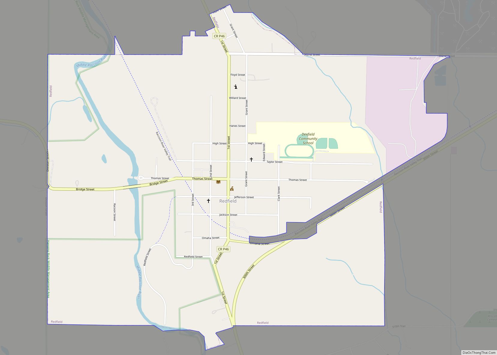
Redfield is a city, one of two incorporated settlements in Union Township, Dallas County, Iowa, United States, along the Middle Raccoon River. The population was 731 at the time of the 2020 census. It is part of the Des Moines–West Des Moines Metropolitan Statistical Area. Redfield city overview: Name: Redfield city LSAD Code: 25 LSAD ... Read more
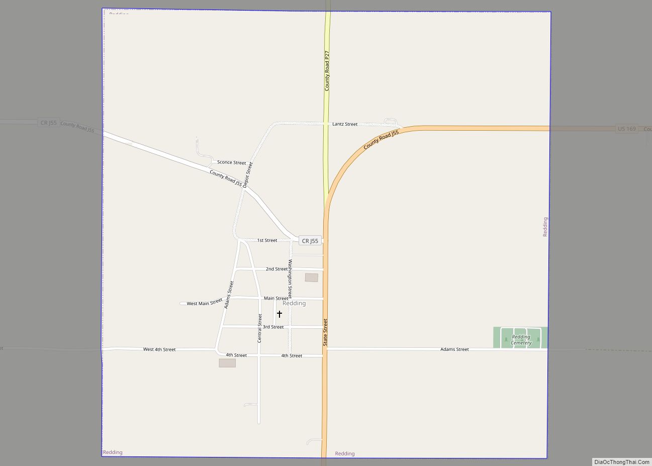
Redding is a city in southwest Ringgold County, Iowa, United States. The population was 63 at the time of the 2020 census. Redding city overview: Name: Redding city LSAD Code: 25 LSAD Description: city (suffix) State: Iowa County: Ringgold County Elevation: 1,145 ft (349 m) Total Area: 1.00 sq mi (2.59 km²) Land Area: 0.99 sq mi (2.56 km²) Water Area: 0.01 sq mi (0.02 km²) ... Read more
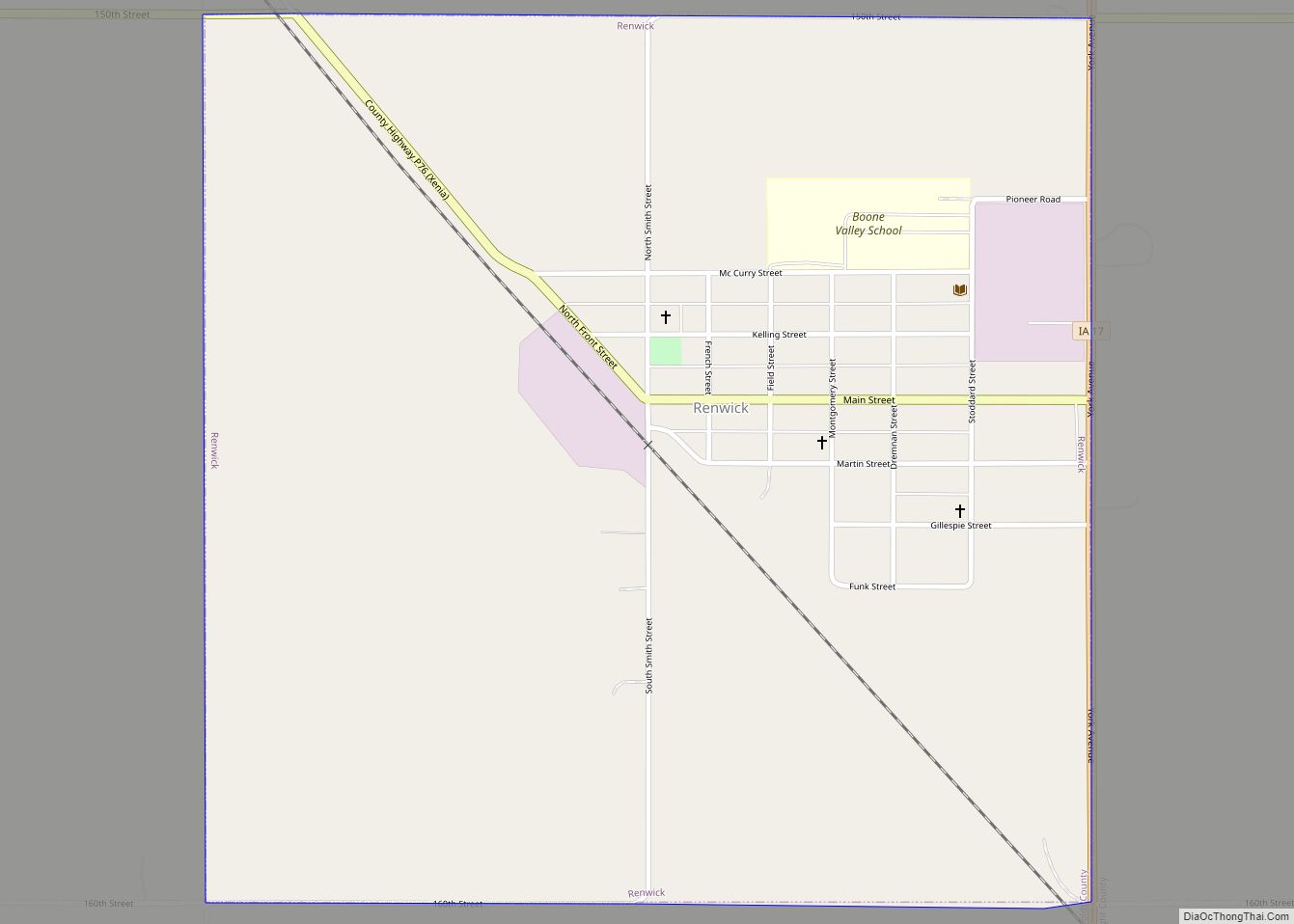
Renwick is a city in Humboldt County, Iowa, United States. The population was 234 at the time of the 2020 census. Renwick city overview: Name: Renwick city LSAD Code: 25 LSAD Description: city (suffix) State: Iowa County: Humboldt County Incorporated: October 17, 1891 Elevation: 1,155 ft (352 m) Total Area: 1.00 sq mi (2.60 km²) Land Area: 1.00 sq mi (2.60 km²) Water ... Read more
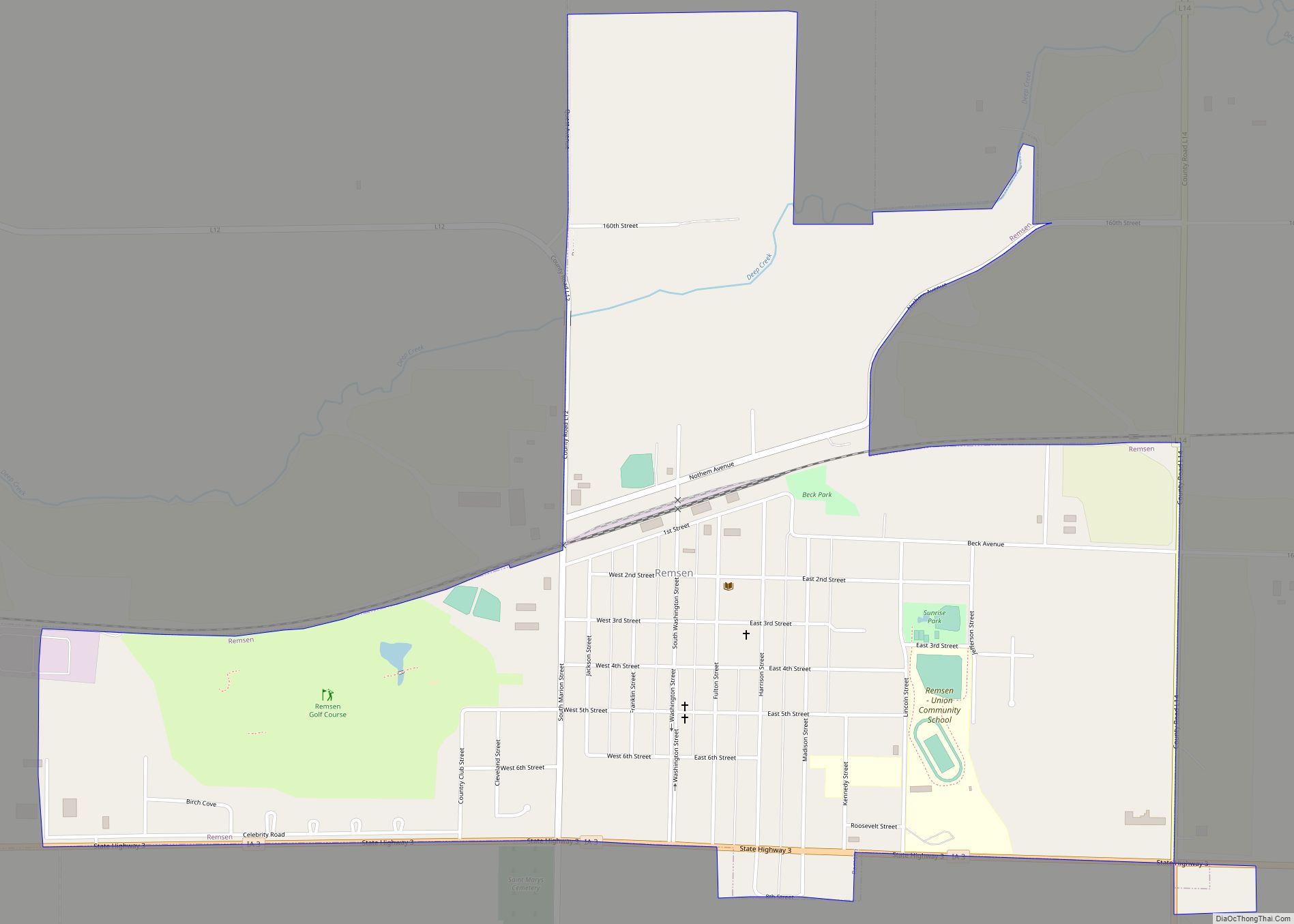
Remsen is a city in Plymouth County, Iowa, United States. The population was 1,678 at the time of the 2020 census. Remsen city overview: Name: Remsen city LSAD Code: 25 LSAD Description: city (suffix) State: Iowa County: Plymouth County Incorporated: 1889 Elevation: 1,329 ft (405 m) Total Area: 1.46 sq mi (3.79 km²) Land Area: 1.46 sq mi (3.79 km²) Water Area: 0.00 sq mi ... Read more
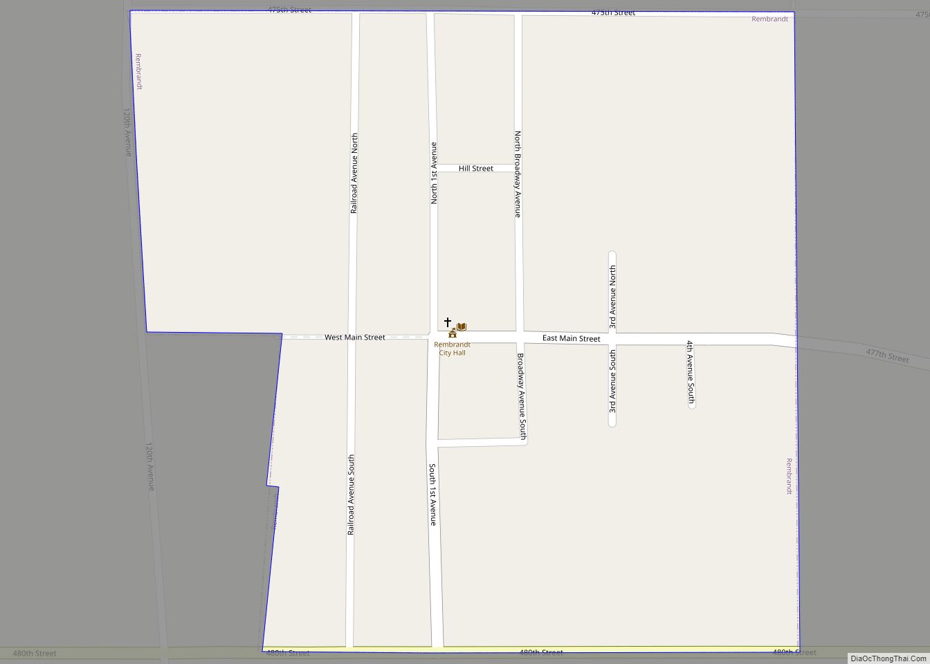
Rembrandt is a city in Buena Vista County, Iowa, United States. The population was 209 at the time of the 2020 census. Rembrandt city overview: Name: Rembrandt city LSAD Code: 25 LSAD Description: city (suffix) State: Iowa County: Buena Vista County Elevation: 1,335 ft (407 m) Total Area: 0.23 sq mi (0.61 km²) Land Area: 0.23 sq mi (0.61 km²) Water Area: 0.00 sq mi ... Read more
Richland is a city in Keokuk County, Iowa, United States. The population was 542 at the time of the 2020 census. Richland city overview: Name: Richland city LSAD Code: 25 LSAD Description: city (suffix) State: Iowa County: Keokuk County Elevation: 771 ft (235 m) Total Area: 1.03 sq mi (2.68 km²) Land Area: 1.03 sq mi (2.68 km²) Water Area: 0.00 sq mi (0.00 km²) Total ... Read more
