Rathbun is a city in Appanoose County, Iowa, United States. The population was 43 at the time of the 2020 census.
| Name: | Rathbun city |
|---|---|
| LSAD Code: | 25 |
| LSAD Description: | city (suffix) |
| State: | Iowa |
| County: | Appanoose County |
| Elevation: | 938 ft (286 m) |
| Total Area: | 0.21 sq mi (0.55 km²) |
| Land Area: | 0.21 sq mi (0.55 km²) |
| Water Area: | 0.00 sq mi (0.00 km²) |
| Total Population: | 43 |
| Population Density: | 200.93/sq mi (77.58/km²) |
| ZIP code: | 52544 |
| Area code: | 641 |
| FIPS code: | 1965730 |
| GNISfeature ID: | 0460531 |
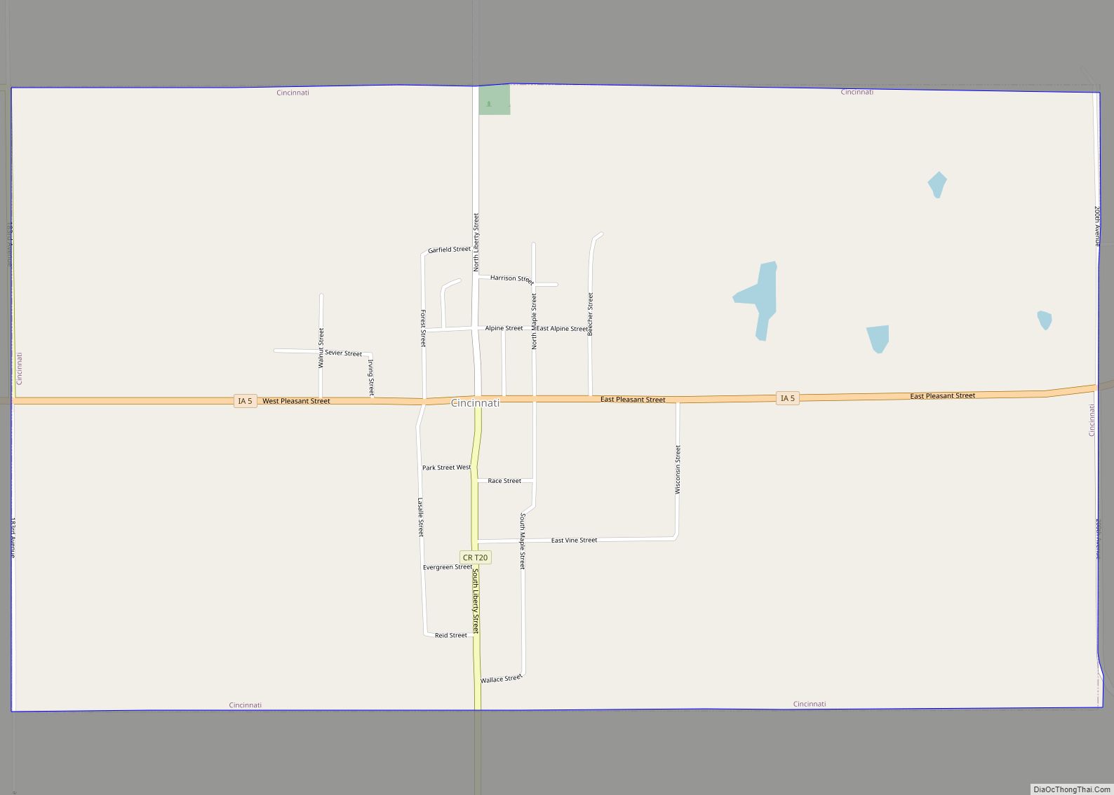
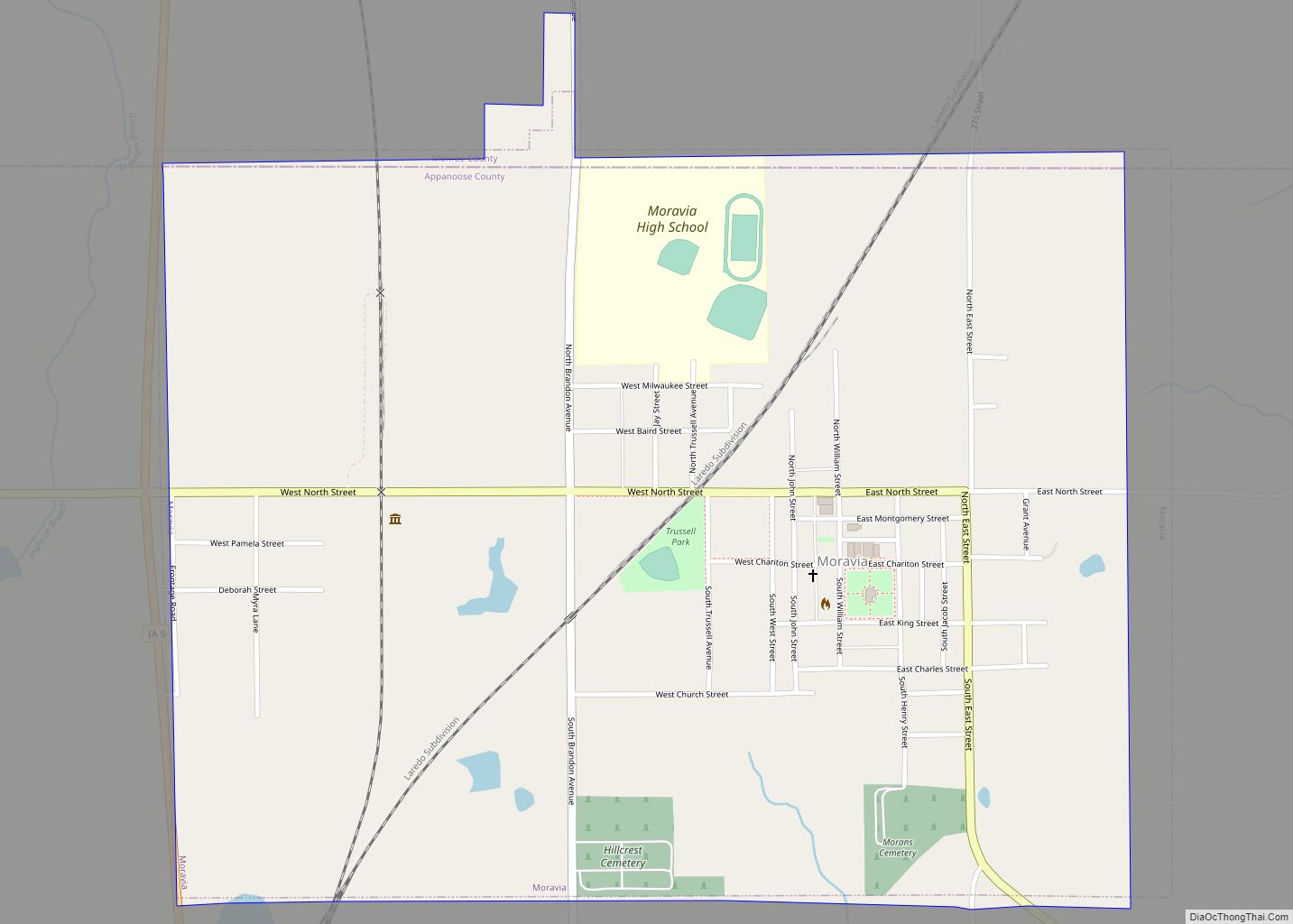
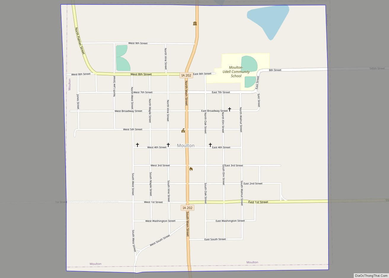
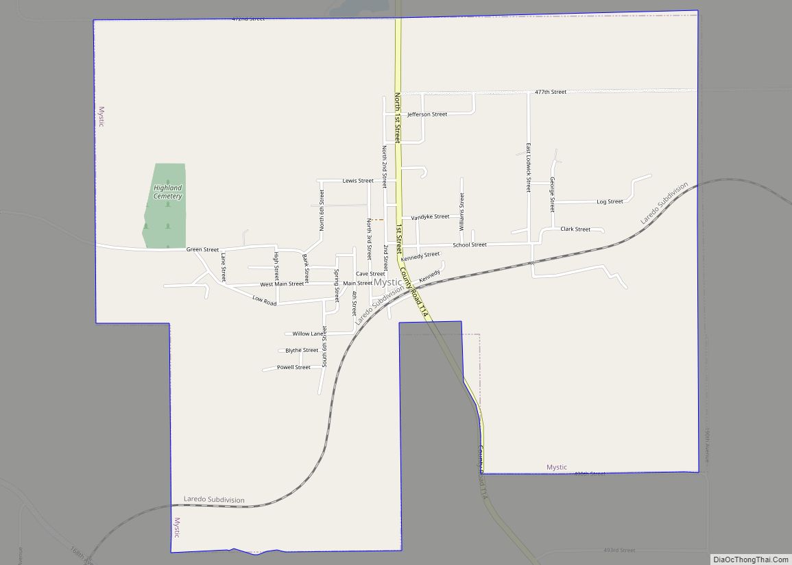
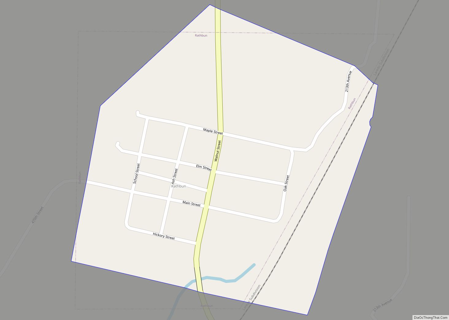
Online Interactive Map
Click on ![]() to view map in "full screen" mode.
to view map in "full screen" mode.
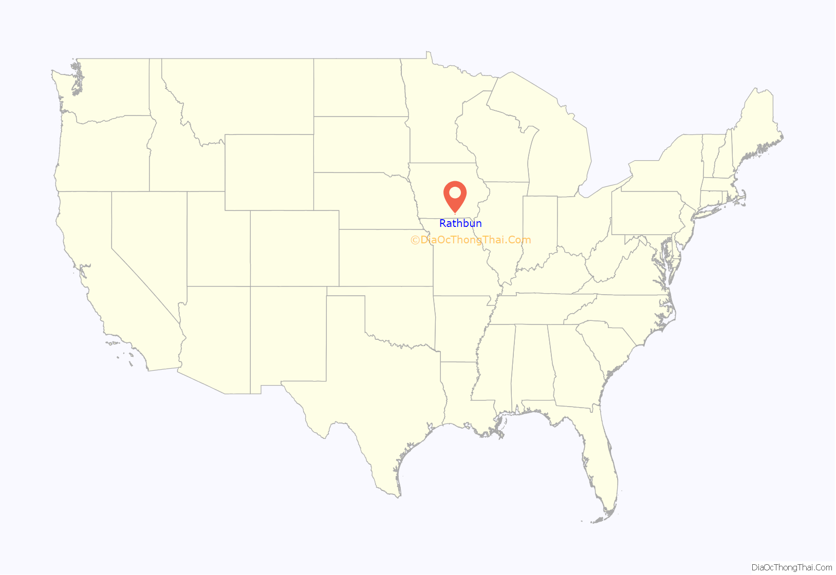
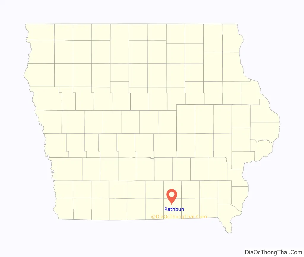
Rathbun location map. Where is Rathbun city?
History
Incorporated in 1897, Rathbun was established in 1892 as a mining town. It was named for Charles H. Rathbun, a mine official. At the end of the 19th century, “the valley of Walnut Creek was one continuous mining camp, known under different names, Jerome, Diamond, Mystic, Clarksdale, Rathbun and Darby” (later known as Darbyville).
The Star Coal Company of Streator, Ill. operated the Rathbun Mine, with an 82-foot-deep (25 m) shaft. This mine was in operation in 1895, and by 1908 it was considered one of the best equipped longwall mines in the county. The Darby mine, operated by the Unity Block Coal Company, was about a mile northeast of Rathbun. This had a 50-foot (15 m) shaft and was nearly played out by 1908. The Evans Mine, about halfway between the Rathbun and Darbyville, formerly operated by the American Coal Company, had already been closed by 1908. In 1912, United Mine Workers Local 372 in Rathbun had 213 members. This was close to half the total population at the time.
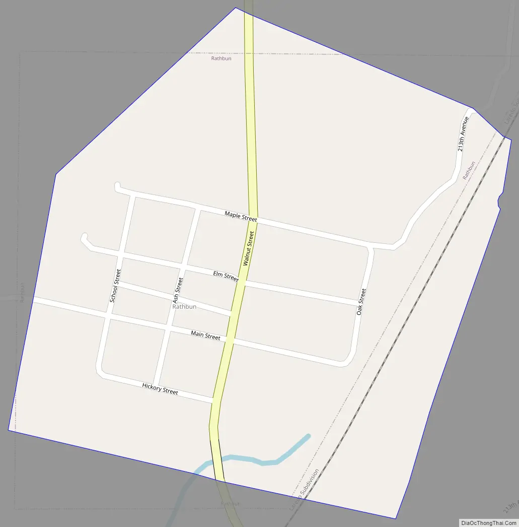
Rathbun Road Map
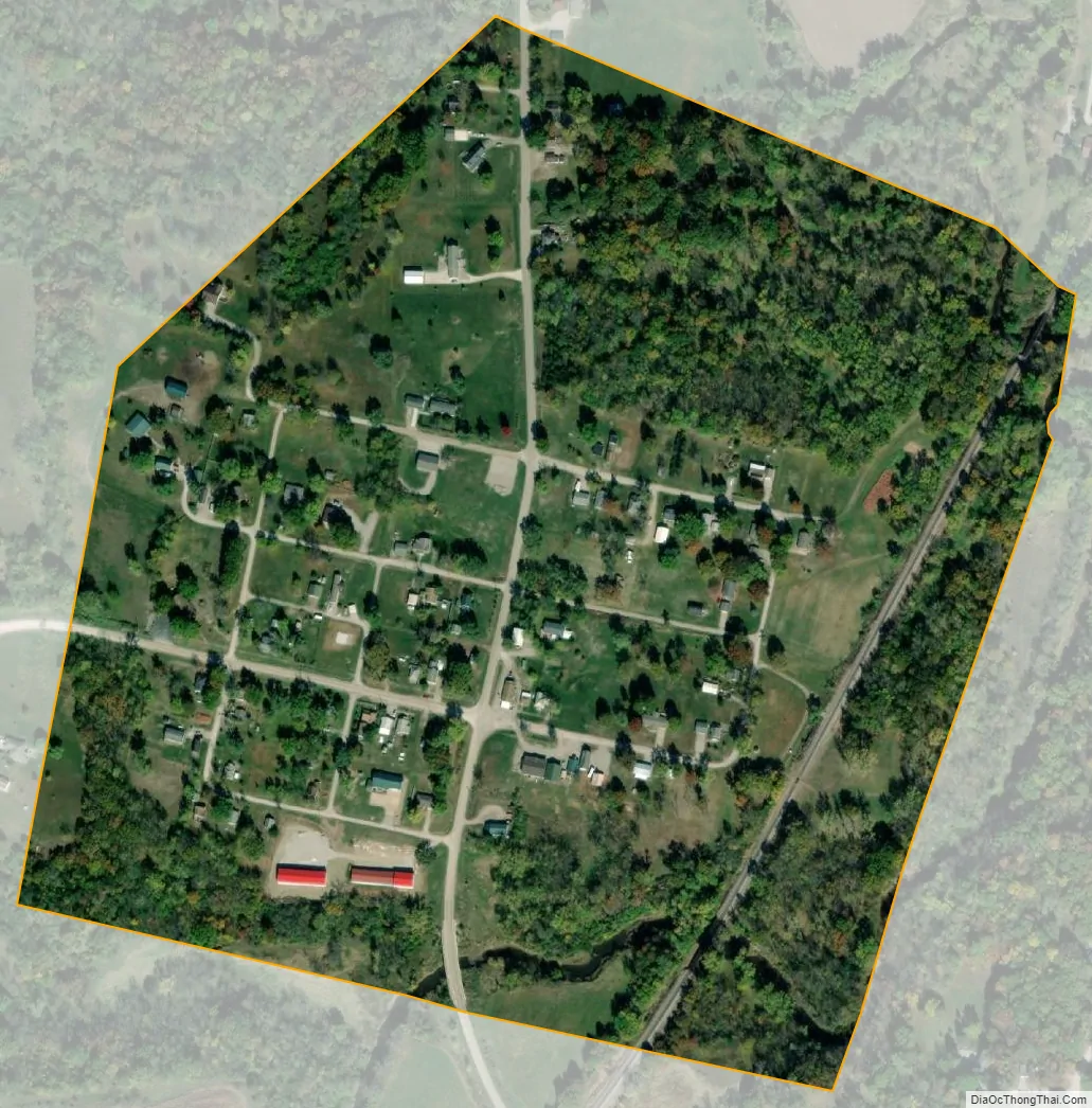
Rathbun city Satellite Map
Geography
Rathbun is located at 40°48′5″N 92°53′18″W / 40.80139°N 92.88833°W / 40.80139; -92.88833 (40.801375, −92.888296) about a mile west of the confluence of Walnut Creek and the Chariton River, about 2 miles south of Rathbun Dam.
According to the United States Census Bureau, the city has a total area of 0.22 square miles (0.57 km), all land.
See also
Map of Iowa State and its subdivision:- Adair
- Adams
- Allamakee
- Appanoose
- Audubon
- Benton
- Black Hawk
- Boone
- Bremer
- Buchanan
- Buena Vista
- Butler
- Calhoun
- Carroll
- Cass
- Cedar
- Cerro Gordo
- Cherokee
- Chickasaw
- Clarke
- Clay
- Clayton
- Clinton
- Crawford
- Dallas
- Davis
- Decatur
- Delaware
- Des Moines
- Dickinson
- Dubuque
- Emmet
- Fayette
- Floyd
- Franklin
- Fremont
- Greene
- Grundy
- Guthrie
- Hamilton
- Hancock
- Hardin
- Harrison
- Henry
- Howard
- Humboldt
- Ida
- Iowa
- Jackson
- Jasper
- Jefferson
- Johnson
- Jones
- Keokuk
- Kossuth
- Lee
- Linn
- Louisa
- Lucas
- Lyon
- Madison
- Mahaska
- Marion
- Marshall
- Mills
- Mitchell
- Monona
- Monroe
- Montgomery
- Muscatine
- O'Brien
- Osceola
- Page
- Palo Alto
- Plymouth
- Pocahontas
- Polk
- Pottawattamie
- Poweshiek
- Ringgold
- Sac
- Scott
- Shelby
- Sioux
- Story
- Tama
- Taylor
- Union
- Van Buren
- Wapello
- Warren
- Washington
- Wayne
- Webster
- Winnebago
- Winneshiek
- Woodbury
- Worth
- Wright
- Alabama
- Alaska
- Arizona
- Arkansas
- California
- Colorado
- Connecticut
- Delaware
- District of Columbia
- Florida
- Georgia
- Hawaii
- Idaho
- Illinois
- Indiana
- Iowa
- Kansas
- Kentucky
- Louisiana
- Maine
- Maryland
- Massachusetts
- Michigan
- Minnesota
- Mississippi
- Missouri
- Montana
- Nebraska
- Nevada
- New Hampshire
- New Jersey
- New Mexico
- New York
- North Carolina
- North Dakota
- Ohio
- Oklahoma
- Oregon
- Pennsylvania
- Rhode Island
- South Carolina
- South Dakota
- Tennessee
- Texas
- Utah
- Vermont
- Virginia
- Washington
- West Virginia
- Wisconsin
- Wyoming