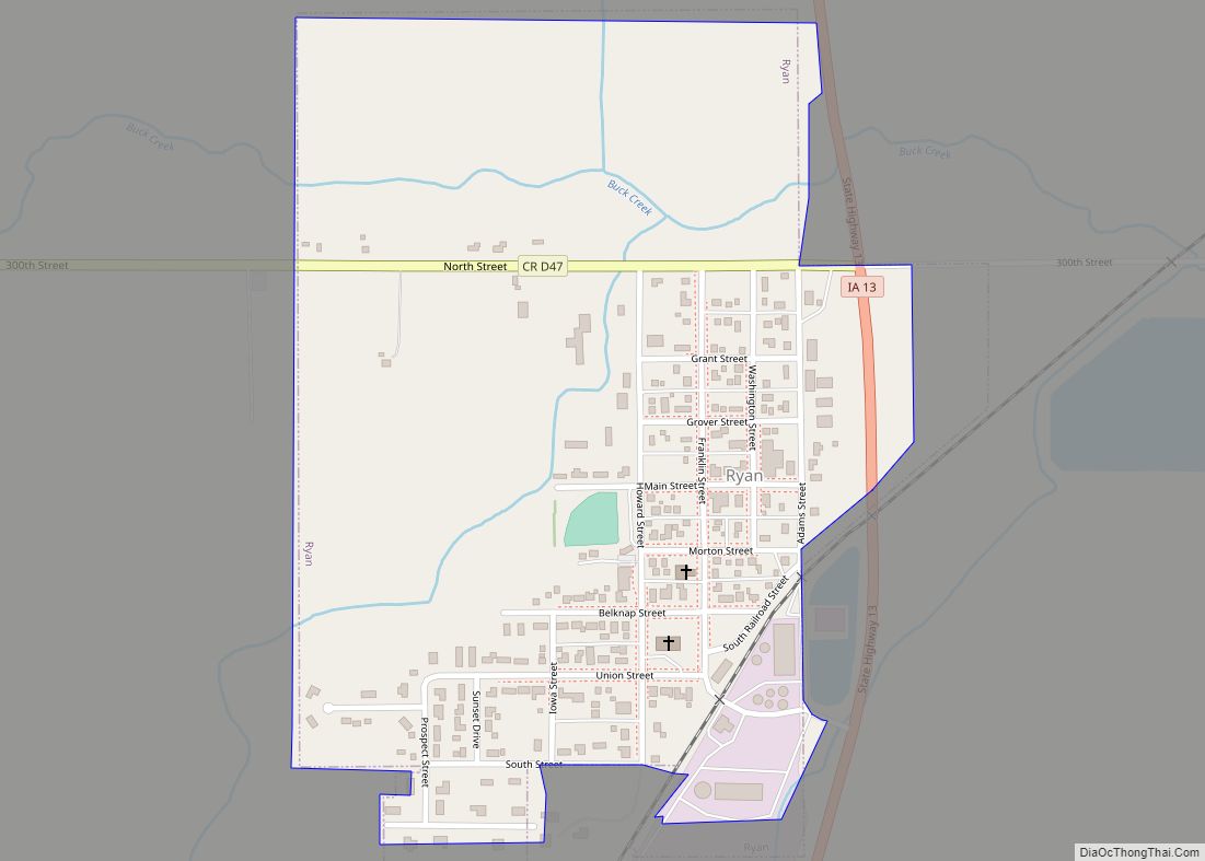
Ryan is a city in Delaware County, Iowa, United States. The population was 350 at the time of the 2020 census. Ryan city overview: Name: Ryan city LSAD Code: 25 LSAD Description: city (suffix) State: Iowa County: Delaware County Elevation: 1,024 ft (312 m) Total Area: 0.44 sq mi (1.13 km²) Land Area: 0.44 sq mi (1.13 km²) Water Area: 0.00 sq mi (0.00 km²) Total ... Read more
Iowa Cities and Places
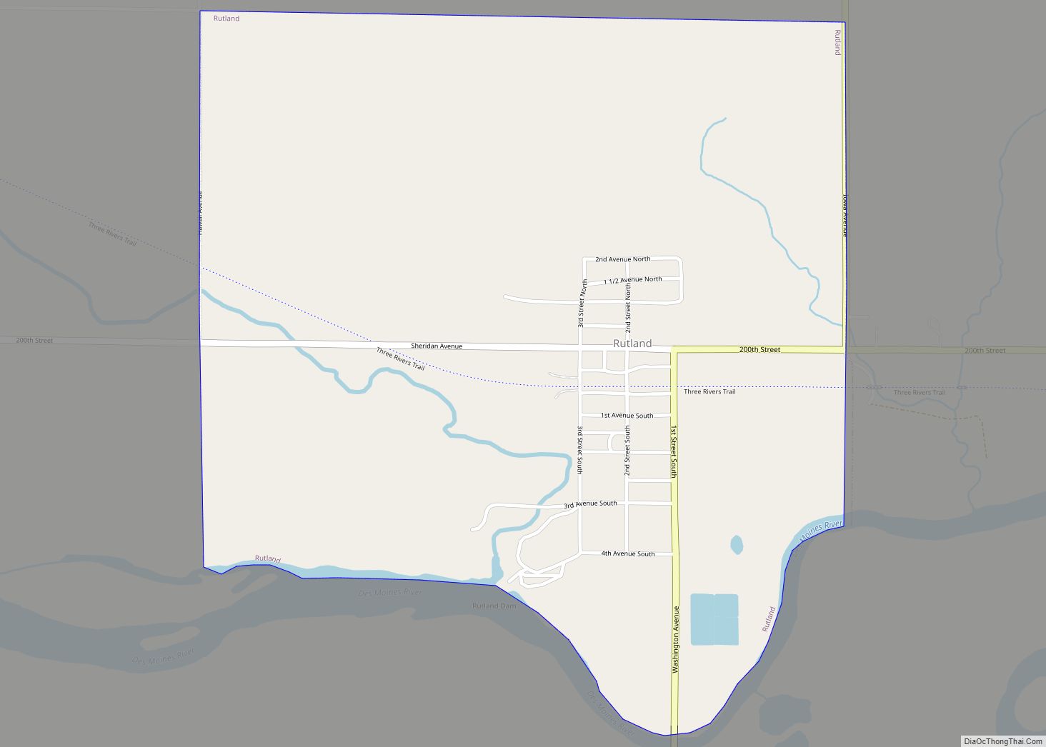
Rutland is a city in Humboldt County, Iowa, United States. The population was 113 at the time of the 2020 census. Rutland city overview: Name: Rutland city LSAD Code: 25 LSAD Description: city (suffix) State: Iowa County: Humboldt County Elevation: 1,106 ft (337 m) Total Area: 0.90 sq mi (2.33 km²) Land Area: 0.90 sq mi (2.33 km²) Water Area: 0.00 sq mi (0.00 km²) Total ... Read more
Salem is a city in Henry County, Iowa, United States. The population was 394 at the time of the 2020 census. Salem city overview: Name: Salem city LSAD Code: 25 LSAD Description: city (suffix) State: Iowa County: Henry County Elevation: 715 ft (218 m) Total Area: 0.63 sq mi (1.63 km²) Land Area: 0.63 sq mi (1.62 km²) Water Area: 0.00 sq mi (0.01 km²) Total ... Read more
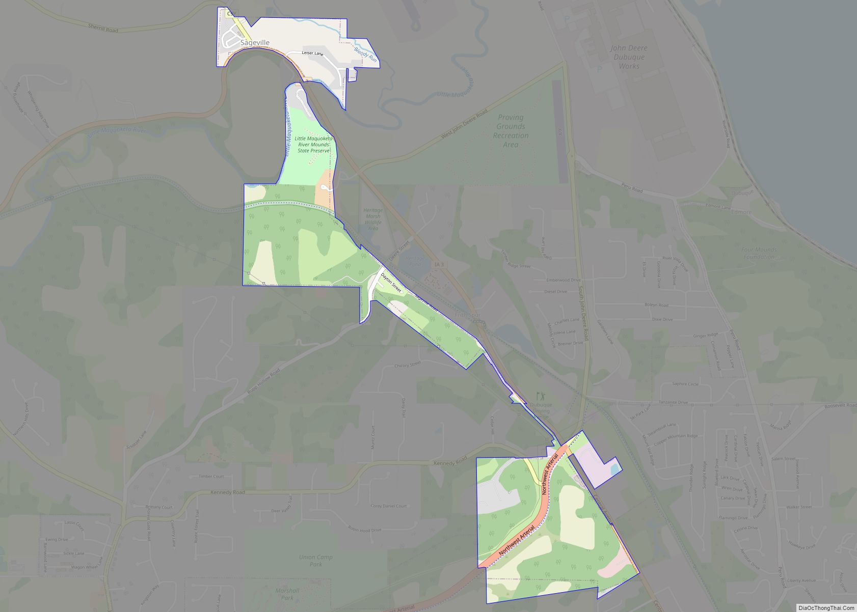
Sageville is a city in Dubuque County, Iowa, United States. The population was 95 at the time of the 2020 census, down from 203 in 2000. Sageville city overview: Name: Sageville city LSAD Code: 25 LSAD Description: city (suffix) State: Iowa County: Dubuque County Elevation: 620 ft (189 m) Total Area: 0.84 sq mi (2.17 km²) Land Area: 0.84 sq mi (2.17 km²) ... Read more
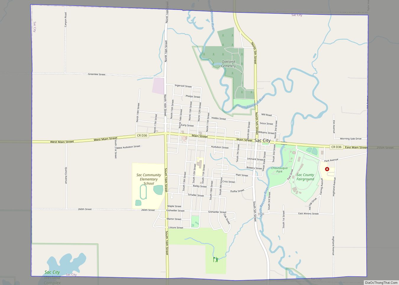
Sac City is a city in and the county seat of Sac County, Iowa, United States, located just southwest of the eastern intersection of U.S. Routes 20 and 71 in the rolling hills along the valley of the North Raccoon River. The city is one of 45 designated Main Street Iowa communities through the Main ... Read more
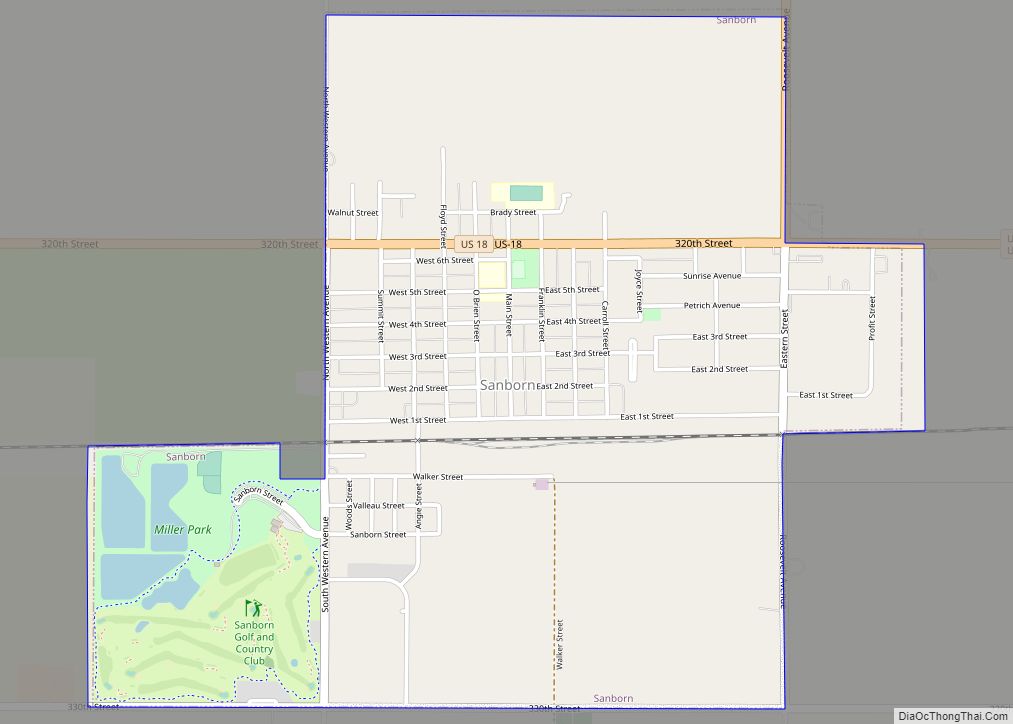
Sanborn is a city in O’Brien County, Iowa, United States. The population was 1,392 at the time of the 2020 census. Sanborn city overview: Name: Sanborn city LSAD Code: 25 LSAD Description: city (suffix) State: Iowa County: O’Brien County Elevation: 1,552 ft (473 m) Total Area: 1.88 sq mi (4.86 km²) Land Area: 1.88 sq mi (4.86 km²) Water Area: 0.00 sq mi (0.00 km²) Total ... Read more
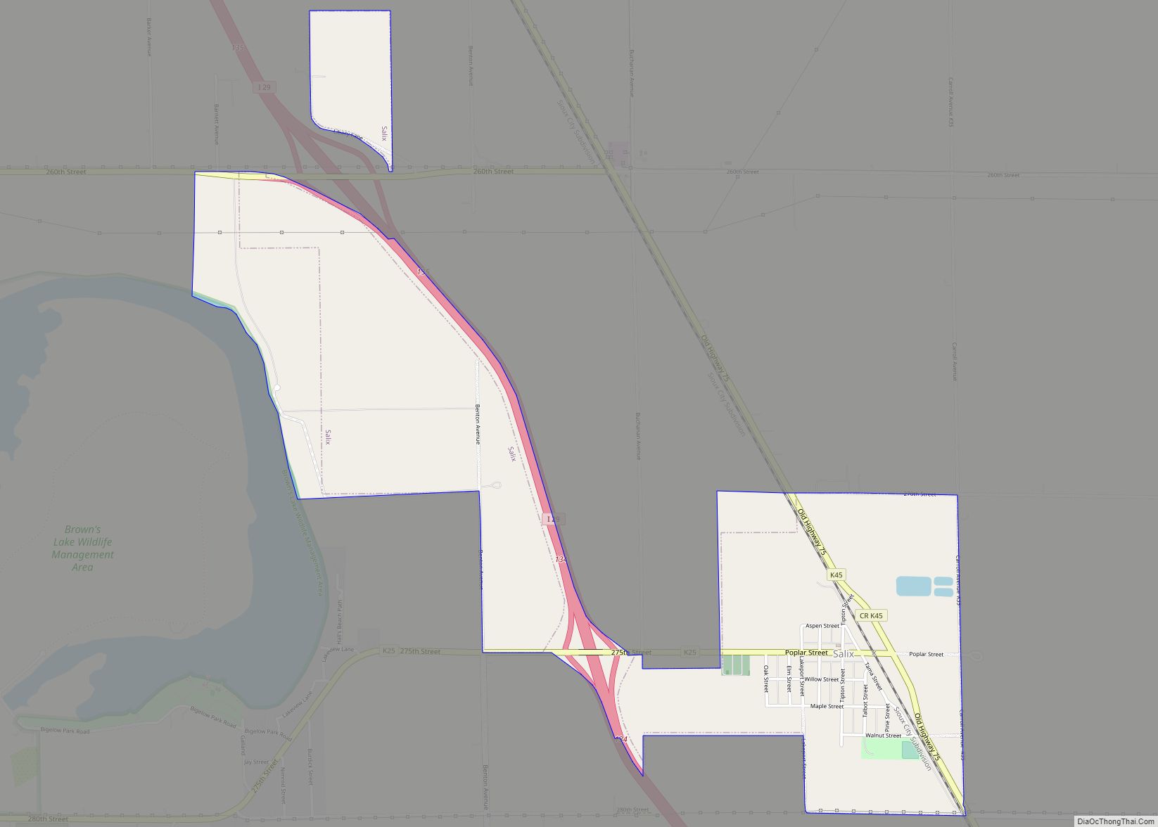
Salix is a city in Woodbury County, Iowa, United States. It is part of the Sioux City, IA–NE–SD Metropolitan Statistical Area. The population was 295 at the time of the 2020 census. Salix city overview: Name: Salix city LSAD Code: 25 LSAD Description: city (suffix) State: Iowa County: Woodbury County Elevation: 1,079 ft (329 m) Total Area: ... Read more
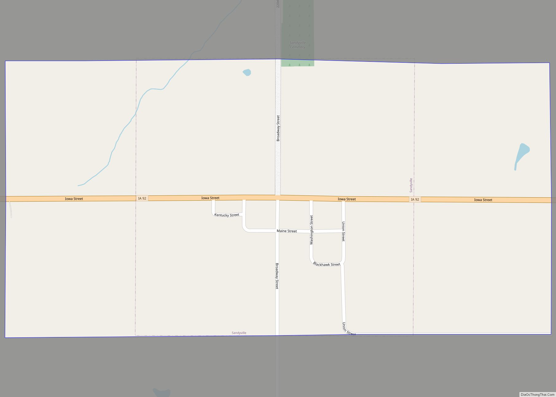
Sandyville is a city in Warren County, Iowa, United States. The population was 58 at the time of the 2020 census. It is part of the Des Moines–West Des Moines Metropolitan Statistical Area. Sandyville city overview: Name: Sandyville city LSAD Code: 25 LSAD Description: city (suffix) State: Iowa County: Warren County Elevation: 938 ft (286 m) Total ... Read more
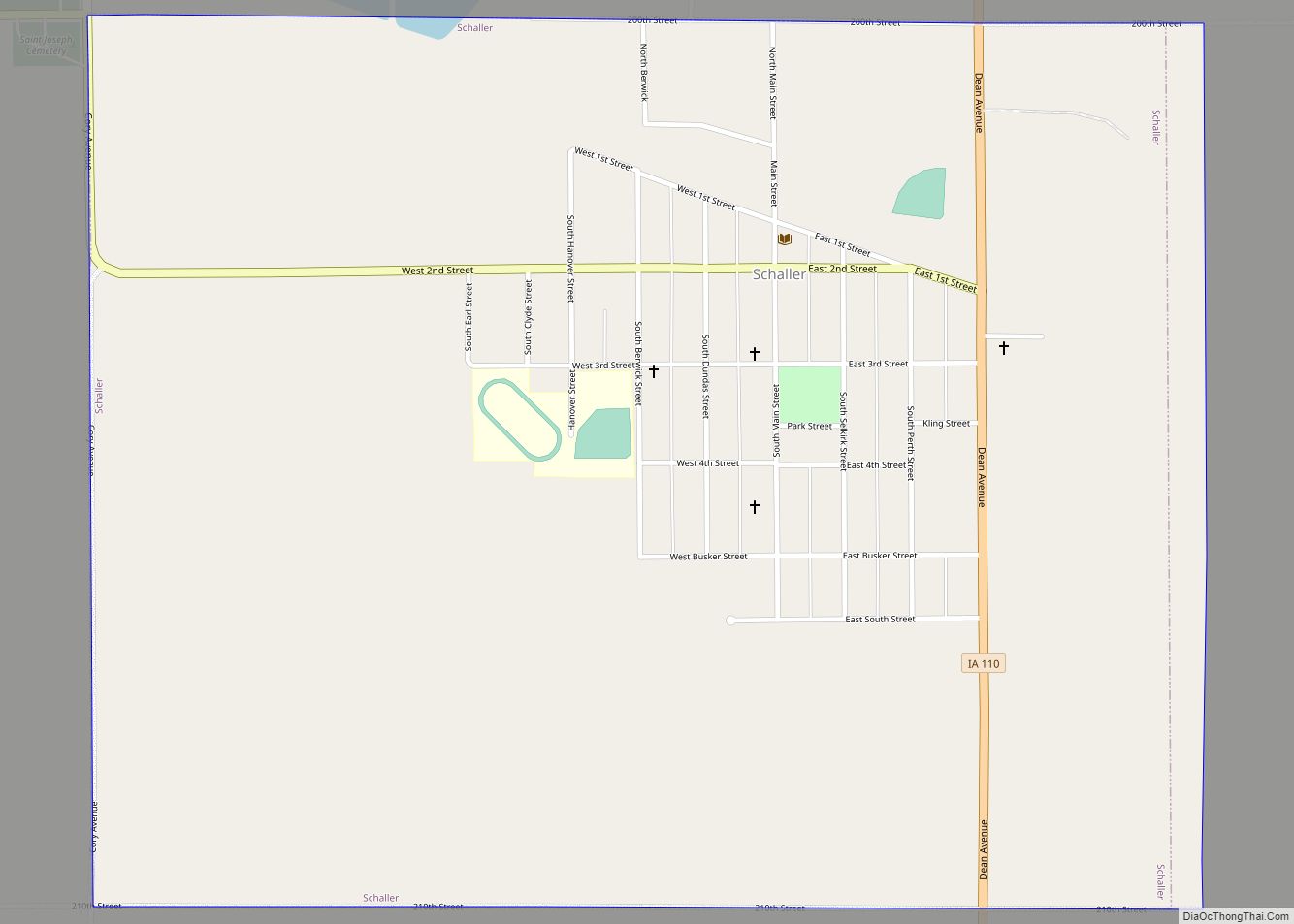
Schaller is a city in Sac County, Iowa, United States. The population was 729 at the time of the 2020 census. Schaller city overview: Name: Schaller city LSAD Code: 25 LSAD Description: city (suffix) State: Iowa County: Sac County Elevation: 1,411 ft (430 m) Total Area: 1.26 sq mi (3.26 km²) Land Area: 1.26 sq mi (3.26 km²) Water Area: 0.00 sq mi (0.00 km²) Total ... Read more
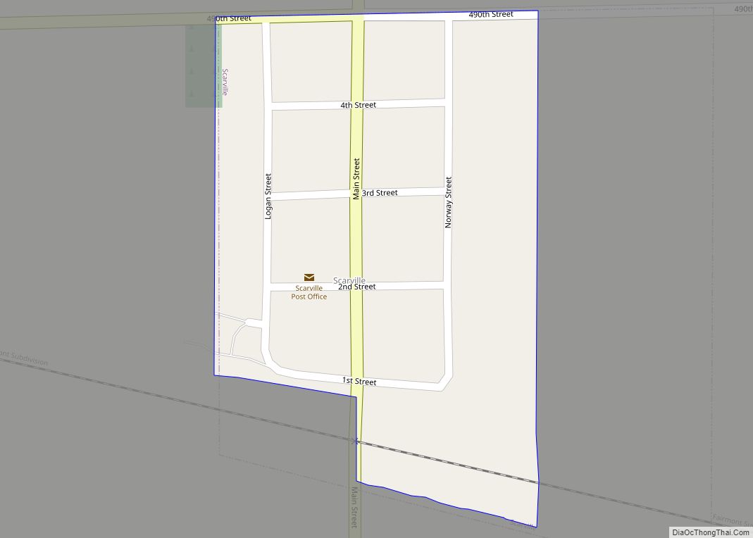
Scarville is a city in Winnebago County, Iowa, United States. The population was 74 at the time of the 2020 census. Scarville city overview: Name: Scarville city LSAD Code: 25 LSAD Description: city (suffix) State: Iowa County: Winnebago County Elevation: 1,253 ft (382 m) Total Area: 0.14 sq mi (0.37 km²) Land Area: 0.14 sq mi (0.37 km²) Water Area: 0.00 sq mi (0.00 km²) Total ... Read more
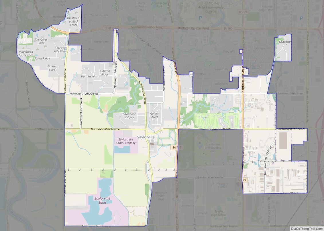
Saylorville is a census-designated place (CDP) in Polk County, Iowa, United States. The population was 3,301 at the 2010 census. It is part of the Des Moines–West Des Moines Metropolitan Statistical Area. The Saydel Community School District is located in this area, as is the unincorporated community of Marquisville. Saylorville CDP overview: Name: Saylorville CDP ... Read more
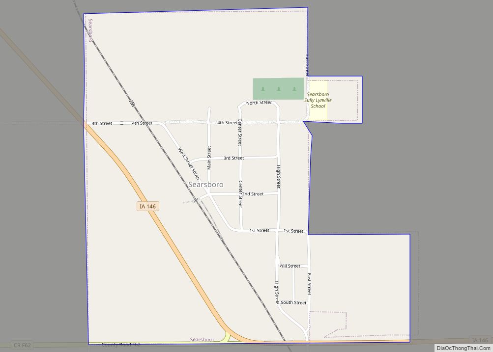
Searsboro in an unincorporated community in Poweshiek County, Iowa, United States. The population was 148 at the 2010 census. The city attempted to disincorporate in 2011, but the move failed when Poweshiek County refused to take control of the city’s infrastructure. Searsboro city overview: Name: Searsboro city LSAD Code: 25 LSAD Description: city (suffix) State: ... Read more
