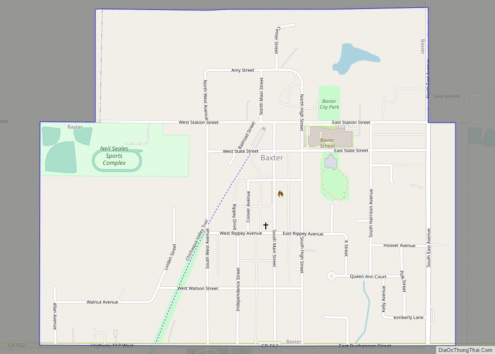
Baxter is a city in Jasper County, Iowa, United States. Baxter is located 33 miles (53 km) northeast of Des Moines. The population was 962 at the 2020 census. Baxter city overview: Name: Baxter city LSAD Code: 25 LSAD Description: city (suffix) State: Iowa County: Jasper County Elevation: 1,004 ft (306 m) Total Area: 0.65 sq mi (1.69 km²) Land Area: ... Read more
Iowa Cities and Places
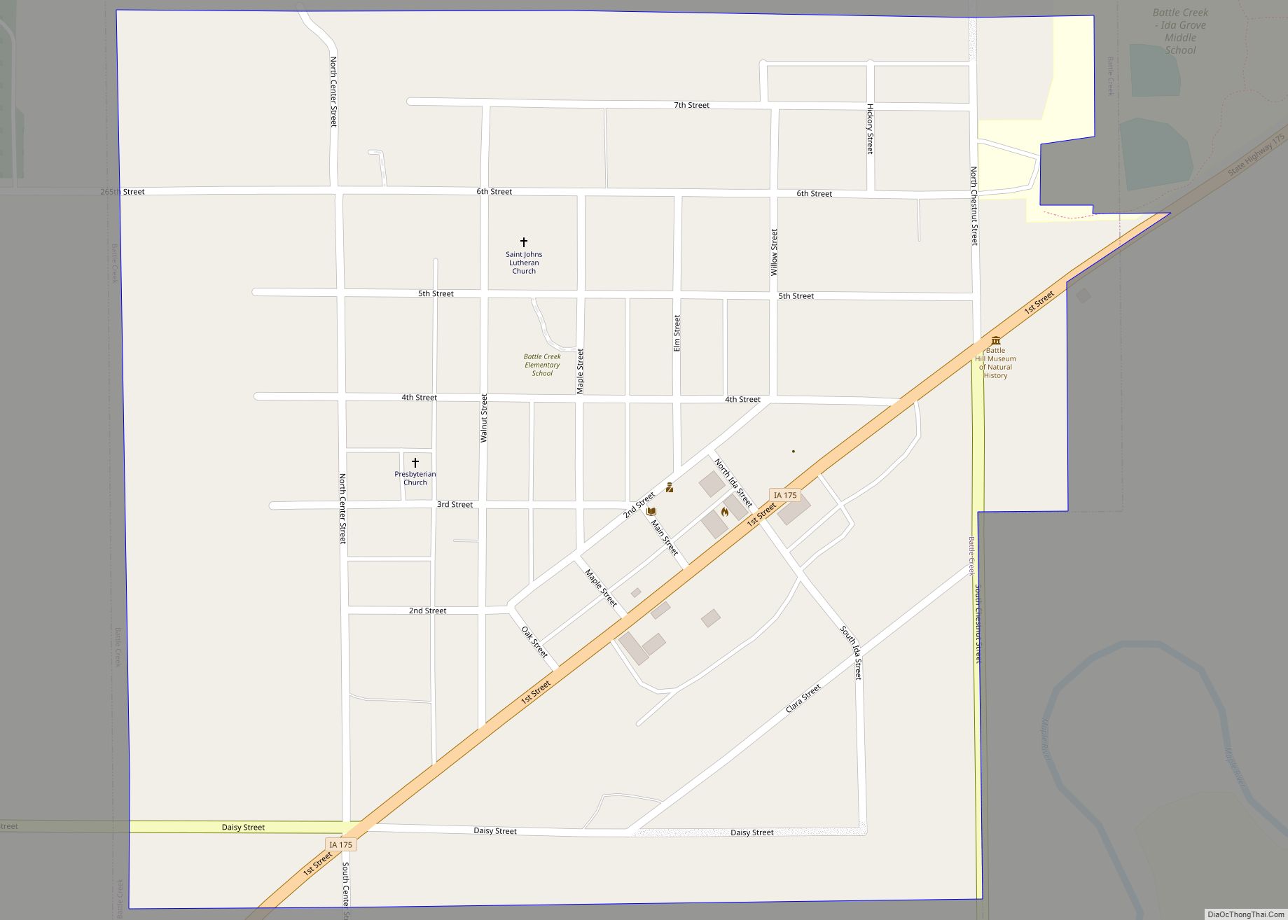
Battle Creek is a city in Ida County, Iowa, United States. The population was 700 at the 2020 census. Battle Creek city overview: Name: Battle Creek city LSAD Code: 25 LSAD Description: city (suffix) State: Iowa County: Ida County Elevation: 1,198 ft (365 m) Total Area: 0.57 sq mi (1.48 km²) Land Area: 0.57 sq mi (1.48 km²) Water Area: 0.00 sq mi (0.00 km²) Total ... Read more
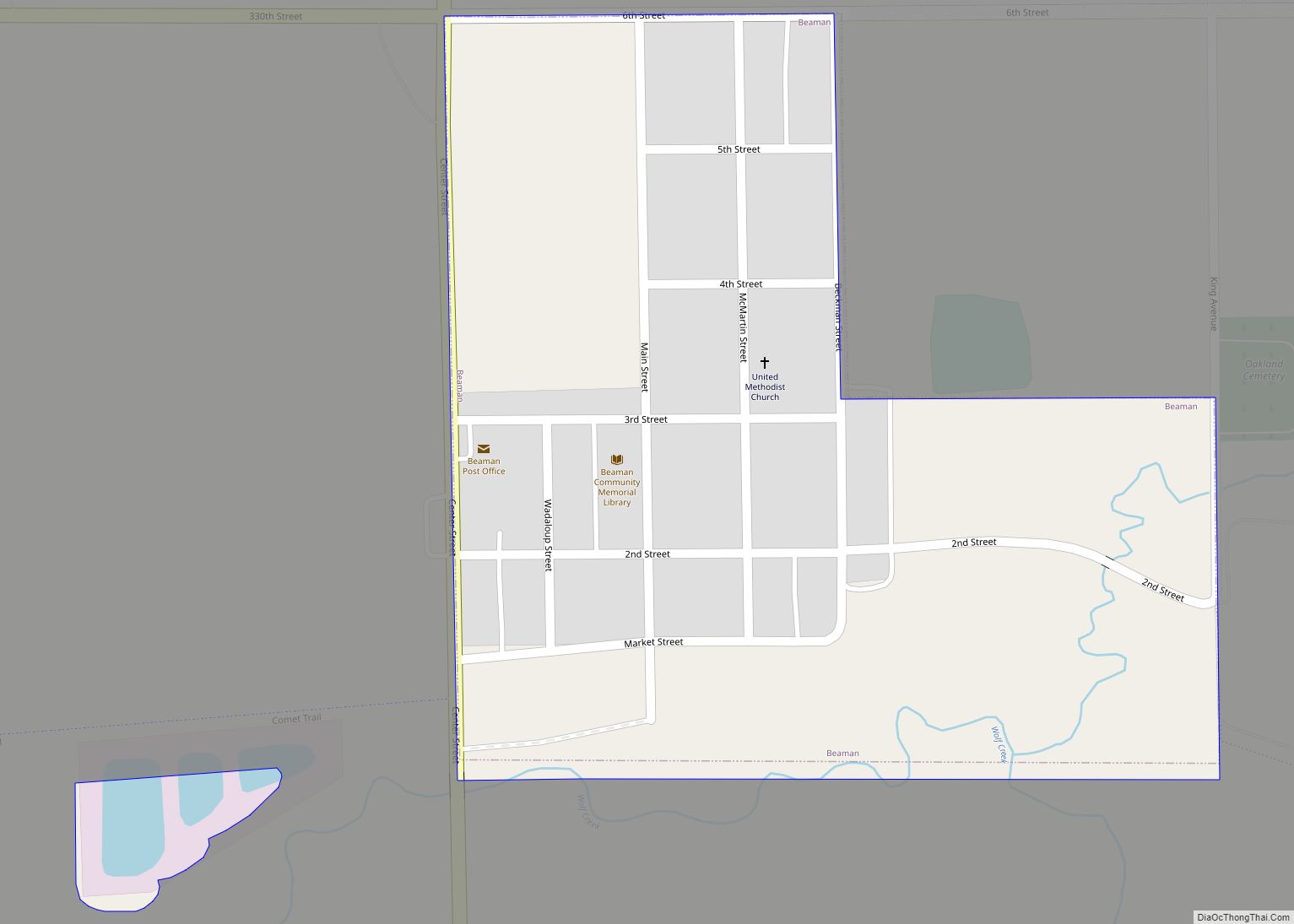
Beaman is a city in Grundy County, Iowa, United States. The population was 161 at the 2020 census. It is part of the Waterloo−Cedar Falls Metropolitan Statistical Area. Beaman city overview: Name: Beaman city LSAD Code: 25 LSAD Description: city (suffix) State: Iowa County: Grundy County Elevation: 994 ft (304 m) Total Area: 0.19 sq mi (0.50 km²) Land Area: ... Read more
Beaconsfield is a city in Ringgold County, Iowa, United States. The population was 15 in the 2020 census, unchanged from 2010 and an increase from 11 in 2000. In the 2000 census Beaconsfield was the least populated incorporated city in Iowa; with the increase in the 2020 census, it is now the second smallest, after ... Read more
Beacon is a city in Mahaska County, Iowa, United States. The population was 445 at the 2020 census. Beacon city overview: Name: Beacon city LSAD Code: 25 LSAD Description: city (suffix) State: Iowa County: Mahaska County Elevation: 758 ft (231 m) Total Area: 1.01 sq mi (2.61 km²) Land Area: 1.01 sq mi (2.61 km²) Water Area: 0.00 sq mi (0.00 km²) Total Population: 445 Population ... Read more
Bedford is a city in Taylor County, Iowa, United States. The population was 1,508 at the 2020 census. It is the county seat of Taylor County. Lake of Three Fires State Park is located a few miles northeast of Bedford. Bedford city overview: Name: Bedford city LSAD Code: 25 LSAD Description: city (suffix) State: Iowa ... Read more
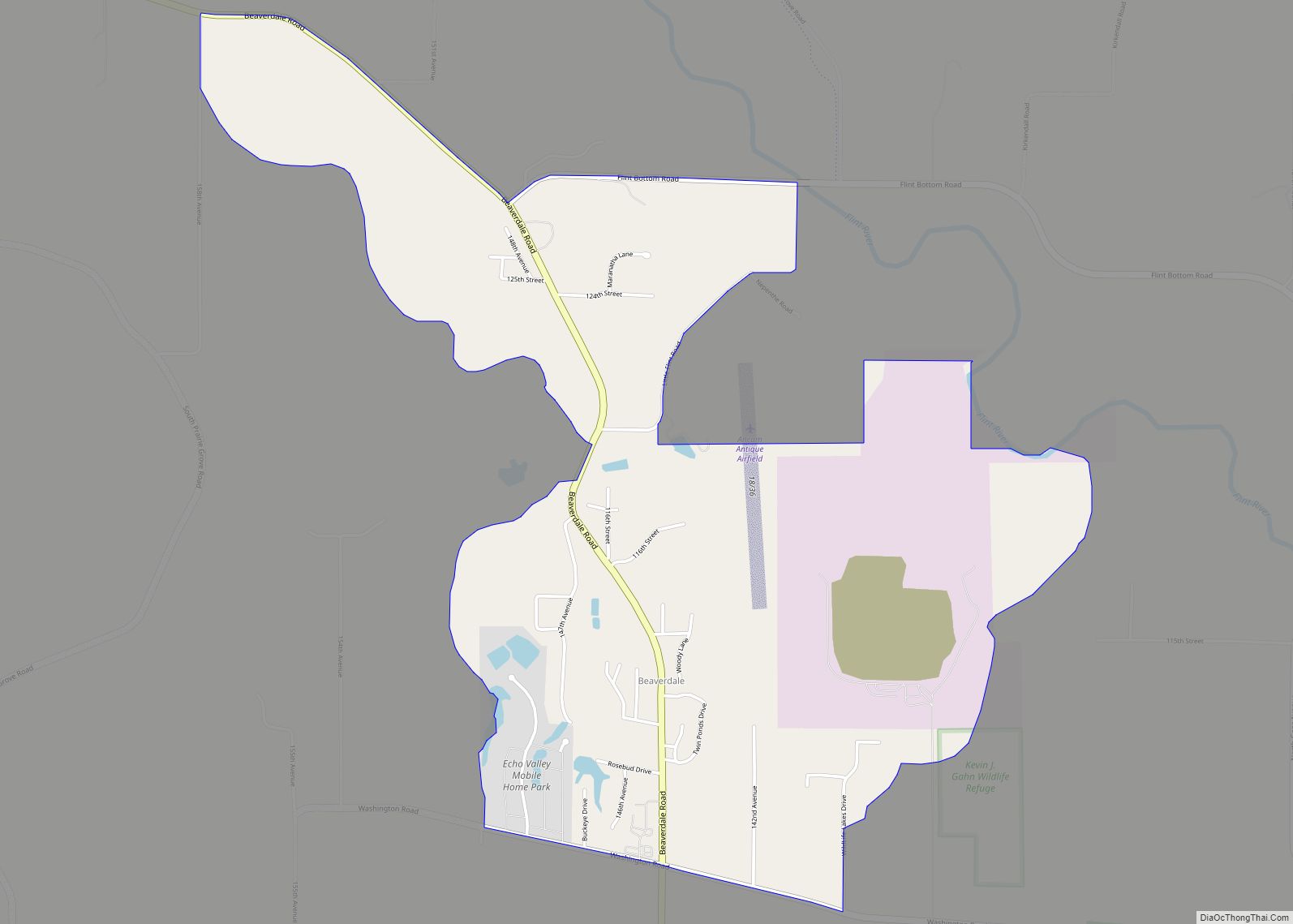
Beaverdale is an unincorporated community and census-designated place (CDP) in Flint River Township, Des Moines County, Iowa, United States. As of the 2010 census it had a population of 952. It is part of the Burlington, Iowa micropolitan area. Beaverdale CDP overview: Name: Beaverdale CDP LSAD Code: 57 LSAD Description: CDP (suffix) State: Iowa County: ... Read more
Beaver is a city in Amaqua Township, Boone County, Iowa, United States. The population was 46 at the 2020 census. It is part of the ‘Boone, Iowa Micropolitan Statistical Area’, which is a part of the larger Ames-Boone, Iowa Combined Statistical Area. Beaver city overview: Name: Beaver city LSAD Code: 25 LSAD Description: city (suffix) ... Read more
Bellevue (/ˈbɛlvjuː/ BEL-vew) is a city in eastern Jackson County, Iowa, United States. The city lies along the Mississippi River (at Lock and Dam No. 12) and next to Bellevue State Park. In 2020 its population was 2,363; up from a count of 2,191 at the 2010 Census, making it the second-largest and only growing ... Read more
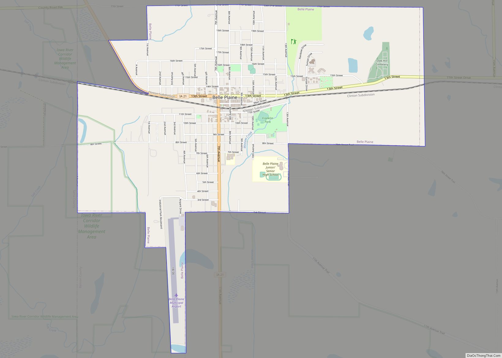
Belle Plaine is a city in Benton County, Iowa, United States. The population was 2,330 at the 2020 census. It is part of the Cedar Rapids Metropolitan Statistical Area. Belle Plaine city overview: Name: Belle Plaine city LSAD Code: 25 LSAD Description: city (suffix) State: Iowa County: Benton County Elevation: 827 ft (252 m) Total Area: 3.19 sq mi ... Read more
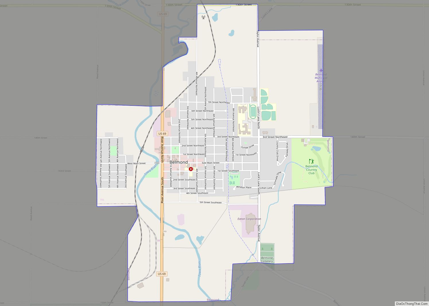
Belmond is a city in Wright County, Iowa, United States. It is located along U.S. Route 69, 14 miles (23 km) by road from Clarion, the county seat. The population was 2,463 in the 2020 census, a decline from 2,560 in 2000. Belmond city overview: Name: Belmond city LSAD Code: 25 LSAD Description: city (suffix) State: ... Read more
Benton is a city in Ringgold County, Iowa, United States. The population was 39 at the 2020 census. Benton city overview: Name: Benton city LSAD Code: 25 LSAD Description: city (suffix) State: Iowa County: Ringgold County Elevation: 1,083 ft (330 m) Total Area: 0.76 sq mi (1.97 km²) Land Area: 0.76 sq mi (1.96 km²) Water Area: 0.00 sq mi (0.01 km²) Total Population: 39 Population ... Read more
