Beacon is a city in Mahaska County, Iowa, United States. The population was 445 at the 2020 census.
| Name: | Beacon city |
|---|---|
| LSAD Code: | 25 |
| LSAD Description: | city (suffix) |
| State: | Iowa |
| County: | Mahaska County |
| Elevation: | 758 ft (231 m) |
| Total Area: | 1.01 sq mi (2.61 km²) |
| Land Area: | 1.01 sq mi (2.61 km²) |
| Water Area: | 0.00 sq mi (0.00 km²) |
| Total Population: | 445 |
| Population Density: | 441.47/sq mi (170.39/km²) |
| ZIP code: | 52534 |
| Area code: | 641 |
| FIPS code: | 1905050 |
| GNISfeature ID: | 0454396 |
Online Interactive Map
Click on ![]() to view map in "full screen" mode.
to view map in "full screen" mode.
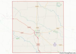
Beacon location map. Where is Beacon city?
History
Coal miners in Beacon joined the United Mine Workers union in 1894, organizing local 178. By 1902, this had 100 members.
Evans, Iowa was a coal camp 3 miles (4.8 km) to the northwest founded by Evan Evans. This was home to mines that opened in 1879 and were combined and reorganized as the American mine in 1884, at which time, the daily output was 100 tons. By 1894, the mine face was 1.5 miles (2.4 km) from the foot of the slope, and the mine was producing 1000 tons of coal a day from a coal seam 6 feet (1.8 m) thick. This was one of the very few mines where the miners did not join the Bituminous coal miners’ strike of 1894. In 1899 United Mine Workers of America local 835 was organized, and in 1902, local 1932 was organized. Memberships in these two locals, combined, was 210 in 1901.
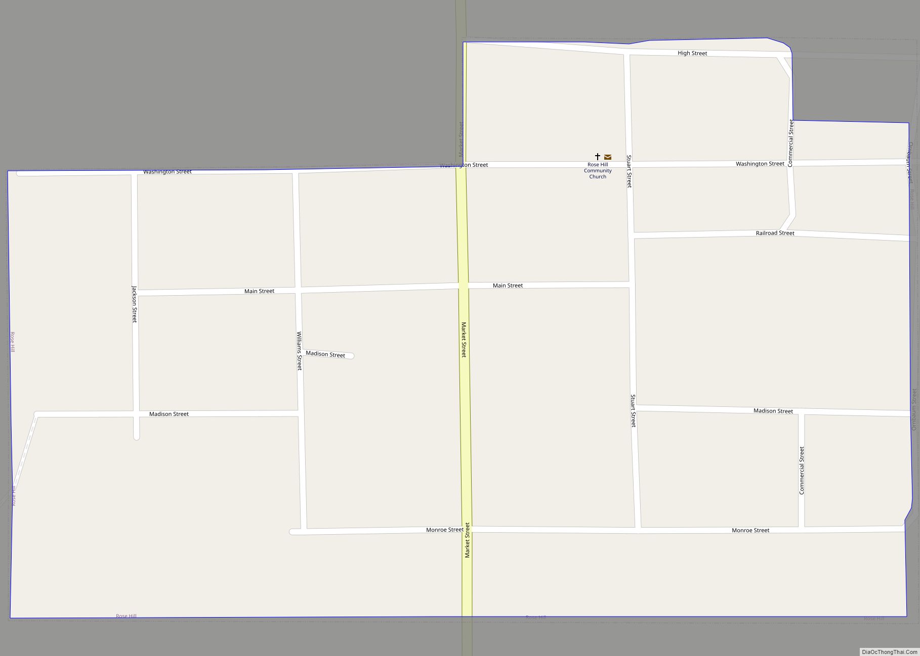
Beacon Road Map
Beacon city Satellite Map
Geography
Beacon’s longitude and latitude coordinates
in decimal form are 41.275948, -92.680733.
According to the United States Census Bureau, the city has a total area of 1.00 square mile (2.59 km), all of it land.
See also
Map of Iowa State and its subdivision:- Adair
- Adams
- Allamakee
- Appanoose
- Audubon
- Benton
- Black Hawk
- Boone
- Bremer
- Buchanan
- Buena Vista
- Butler
- Calhoun
- Carroll
- Cass
- Cedar
- Cerro Gordo
- Cherokee
- Chickasaw
- Clarke
- Clay
- Clayton
- Clinton
- Crawford
- Dallas
- Davis
- Decatur
- Delaware
- Des Moines
- Dickinson
- Dubuque
- Emmet
- Fayette
- Floyd
- Franklin
- Fremont
- Greene
- Grundy
- Guthrie
- Hamilton
- Hancock
- Hardin
- Harrison
- Henry
- Howard
- Humboldt
- Ida
- Iowa
- Jackson
- Jasper
- Jefferson
- Johnson
- Jones
- Keokuk
- Kossuth
- Lee
- Linn
- Louisa
- Lucas
- Lyon
- Madison
- Mahaska
- Marion
- Marshall
- Mills
- Mitchell
- Monona
- Monroe
- Montgomery
- Muscatine
- O'Brien
- Osceola
- Page
- Palo Alto
- Plymouth
- Pocahontas
- Polk
- Pottawattamie
- Poweshiek
- Ringgold
- Sac
- Scott
- Shelby
- Sioux
- Story
- Tama
- Taylor
- Union
- Van Buren
- Wapello
- Warren
- Washington
- Wayne
- Webster
- Winnebago
- Winneshiek
- Woodbury
- Worth
- Wright
- Alabama
- Alaska
- Arizona
- Arkansas
- California
- Colorado
- Connecticut
- Delaware
- District of Columbia
- Florida
- Georgia
- Hawaii
- Idaho
- Illinois
- Indiana
- Iowa
- Kansas
- Kentucky
- Louisiana
- Maine
- Maryland
- Massachusetts
- Michigan
- Minnesota
- Mississippi
- Missouri
- Montana
- Nebraska
- Nevada
- New Hampshire
- New Jersey
- New Mexico
- New York
- North Carolina
- North Dakota
- Ohio
- Oklahoma
- Oregon
- Pennsylvania
- Rhode Island
- South Carolina
- South Dakota
- Tennessee
- Texas
- Utah
- Vermont
- Virginia
- Washington
- West Virginia
- Wisconsin
- Wyoming


