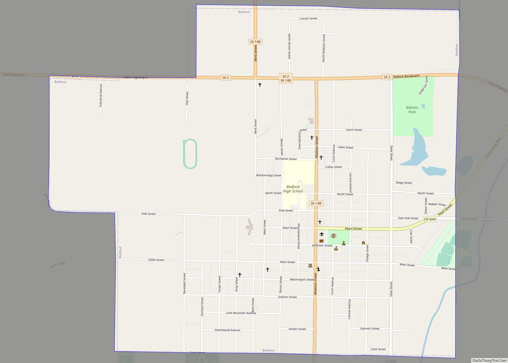
Bedford is a city in Taylor County, Iowa, United States. The population was 1,508 at the 2020 census. It is the county seat of Taylor County. Lake of Three Fires State Park is located a few miles northeast of Bedford.
| Name: | Bedford city |
|---|---|
| LSAD Code: | 25 |
| LSAD Description: | city (suffix) |
| State: | Iowa |
| County: | Taylor County |
| Elevation: | 1,129 ft (344 m) |
| Total Area: | 1.61 sq mi (4.18 km²) |
| Land Area: | 1.60 sq mi (4.16 km²) |
| Water Area: | 0.01 sq mi (0.02 km²) |
| Total Population: | 1,508 |
| Population Density: | 939.56/sq mi (362.70/km²) |
| ZIP code: | 50833 |
| Area code: | 712 |
| FIPS code: | 1905365 |
| GNISfeature ID: | 0454471 |
| Website: | www.bedfordia.org |
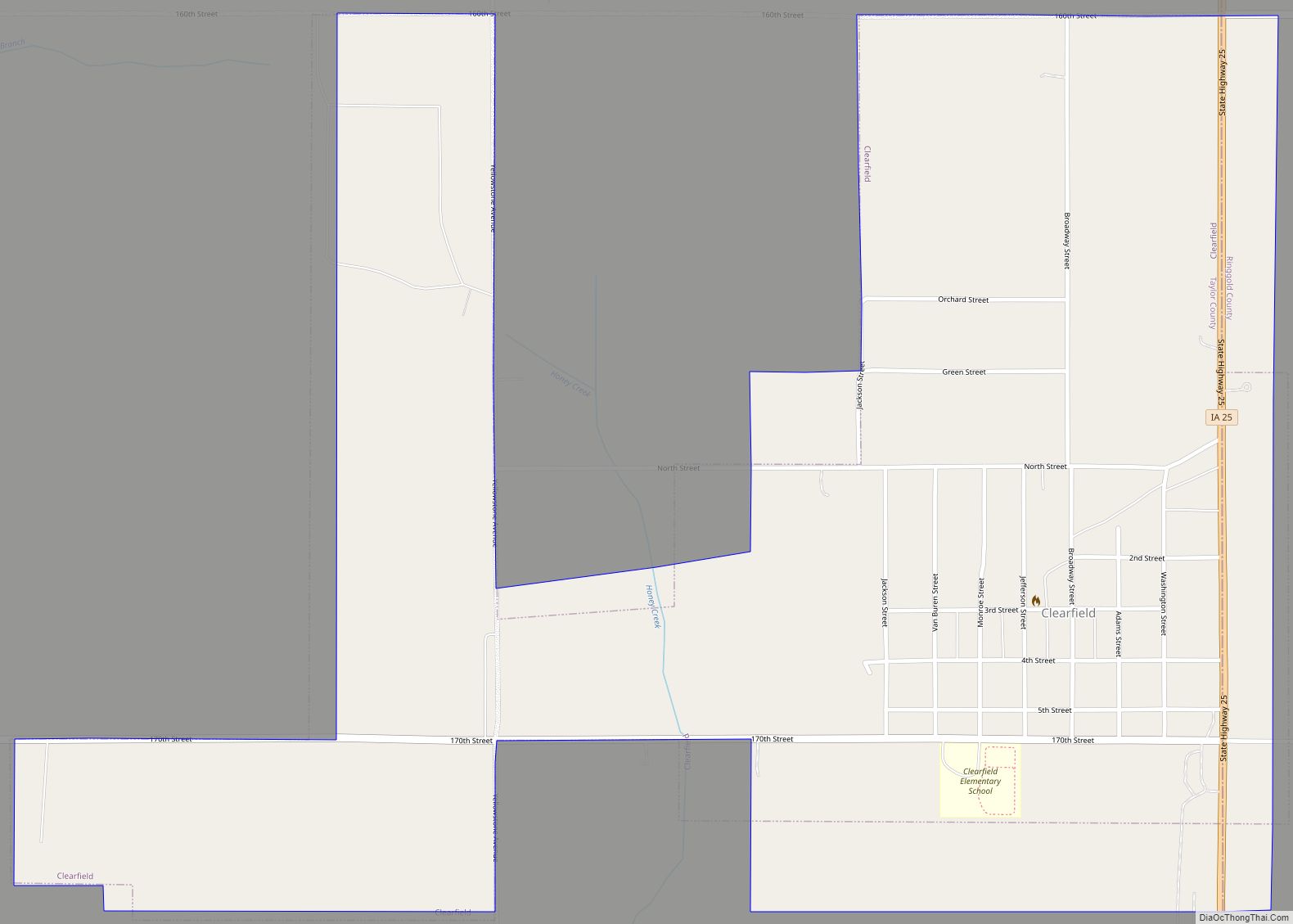
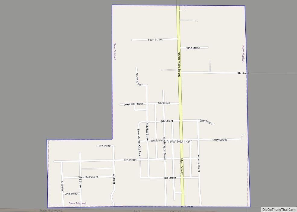
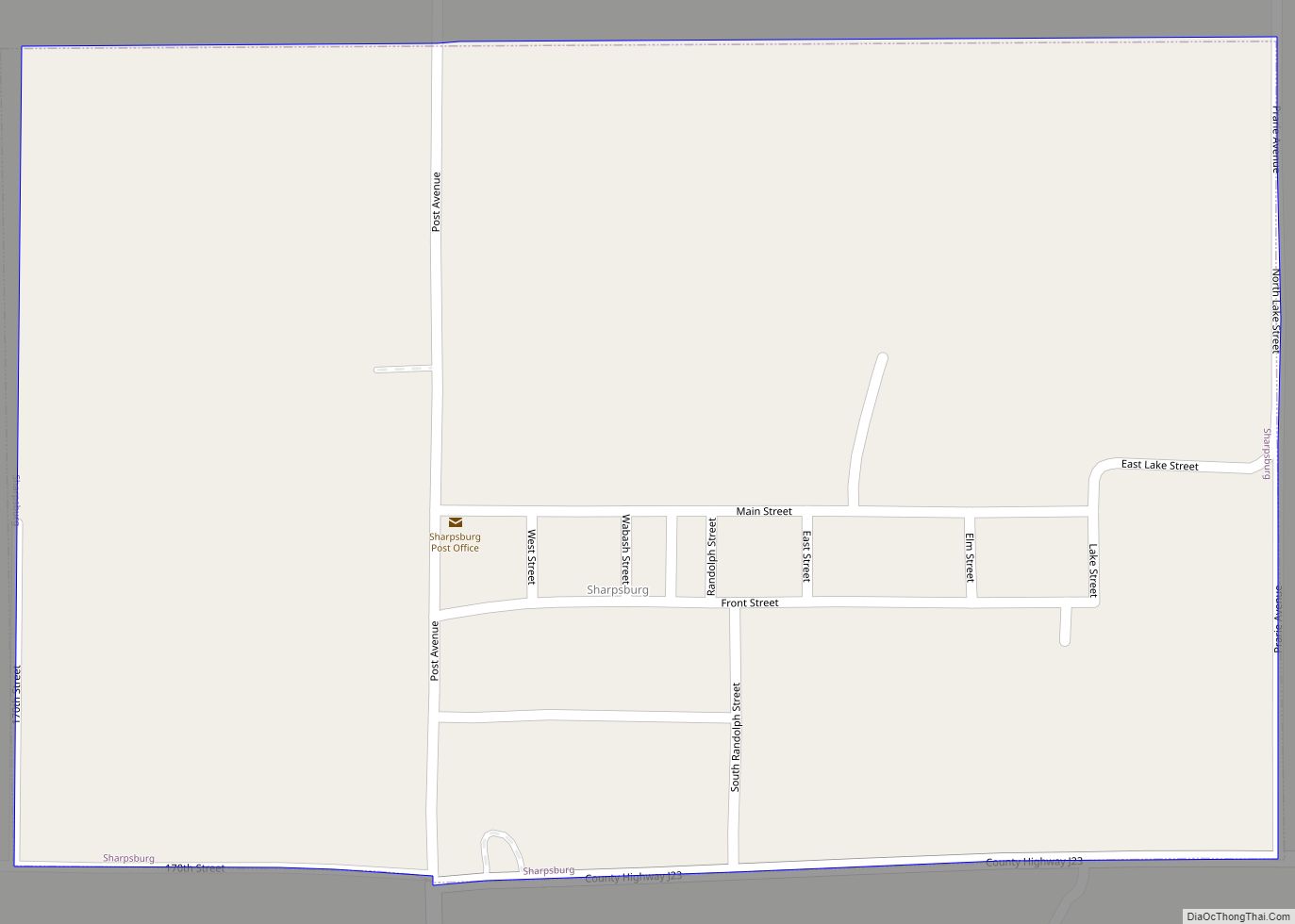
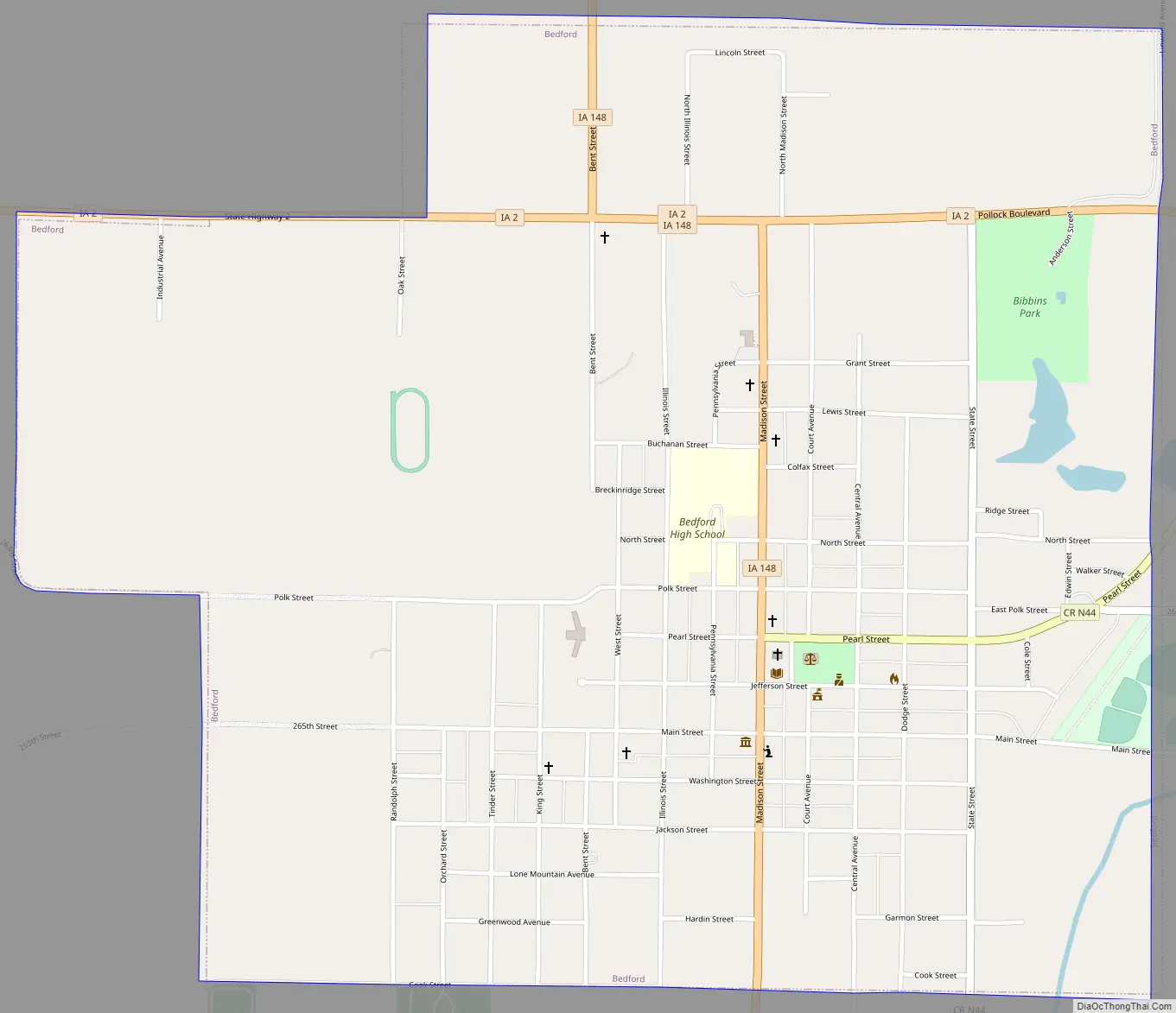
Online Interactive Map
Click on ![]() to view map in "full screen" mode.
to view map in "full screen" mode.
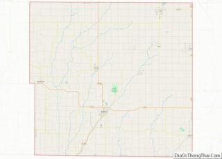
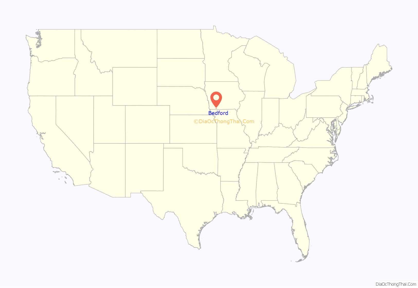
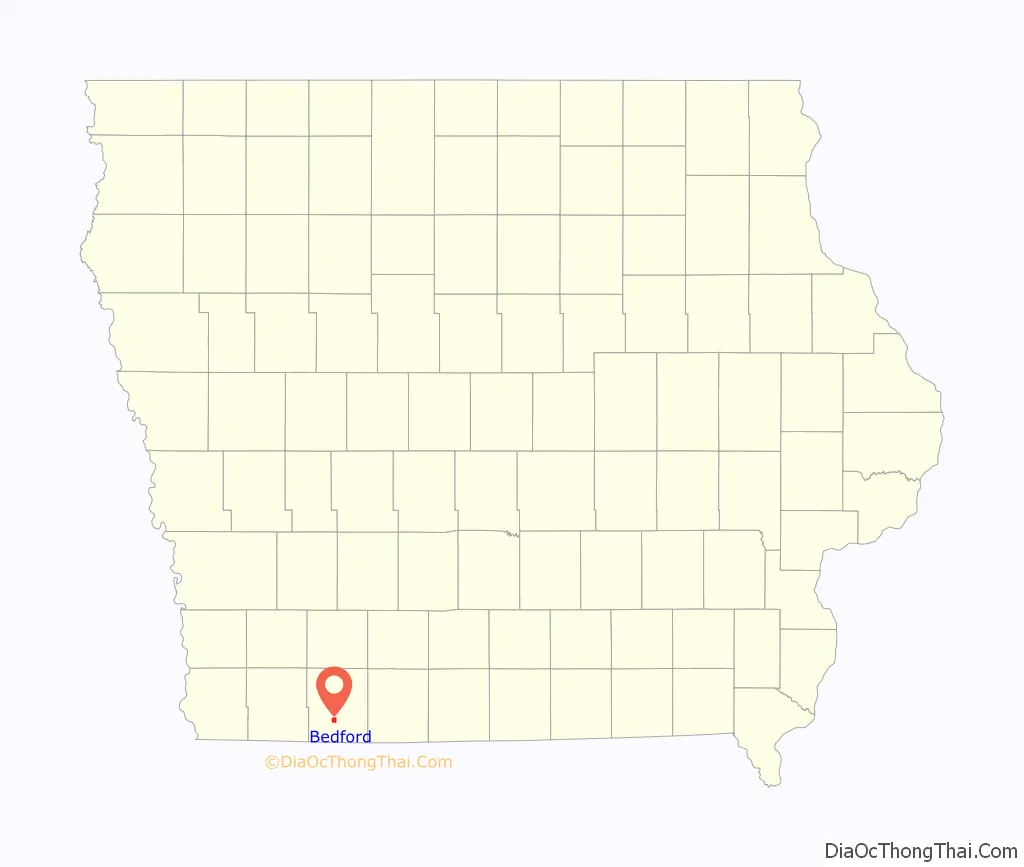
Bedford location map. Where is Bedford city?
History
The community is believed to have gotten its name from Thomas J. Bedford, who was the first west bound Pony Express rider to deliver the mail on its final leg from Benicia, California to Oakland, California on April 23, 1861. Bedford is believed to have operated Bedfords Store and Trading Post in 1848 within the city limits. He moved to California later that year, in the California Gold Rush.
The community was called “Grove” when a post office was established on June 30, 1855. On June 24, 1856 it was changed to Bedford. Other histories have noted possible other sources of the name:
- Bedford in England (possible original home of early settlers)
- Bedford, Indiana (reputed home of the surveyor)
- Bedford, Pennsylvania (reputed home of a “government engineer”)
The community was formally established as the county seat of Taylor County by a legislative act in 1853. The town was formally laid out on lots sold on July 4, 1853 (which at the time identified the community as “Bedforde”). According to town legend, a barrel of whiskey was placed on the grounds and lots sold for $10 to $20 – although none of the lots were paid for at the time.
The present Taylor County Courthouse was built in 1893.
Bedford Road Map
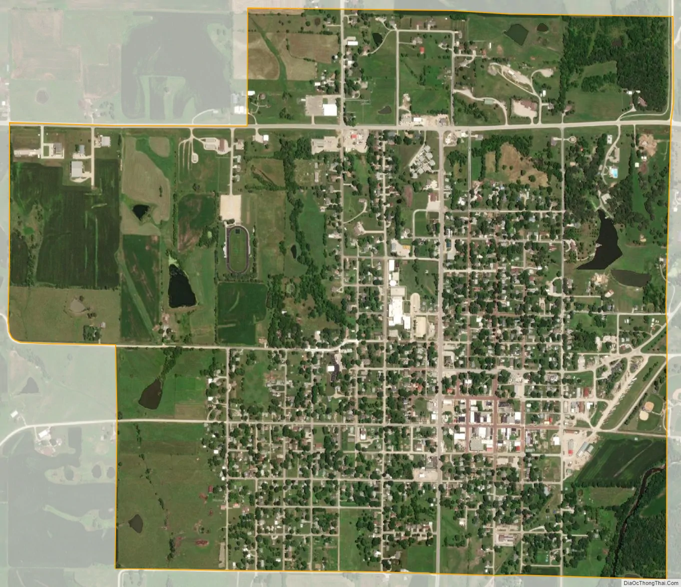
Bedford city Satellite Map
Geography
Bedford is located at 40°40′6″N 94°43′16″W / 40.66833°N 94.72111°W / 40.66833; -94.72111 (40.668317, -94.721092), along the East Fork of the One Hundred and Two River.
According to the United States Census Bureau, the city has a total area of 1.61 square miles (4.17 km), of which 1.60 square miles (4.14 km) is land and 0.01 square miles (0.03 km) is water.
See also
Map of Iowa State and its subdivision:- Adair
- Adams
- Allamakee
- Appanoose
- Audubon
- Benton
- Black Hawk
- Boone
- Bremer
- Buchanan
- Buena Vista
- Butler
- Calhoun
- Carroll
- Cass
- Cedar
- Cerro Gordo
- Cherokee
- Chickasaw
- Clarke
- Clay
- Clayton
- Clinton
- Crawford
- Dallas
- Davis
- Decatur
- Delaware
- Des Moines
- Dickinson
- Dubuque
- Emmet
- Fayette
- Floyd
- Franklin
- Fremont
- Greene
- Grundy
- Guthrie
- Hamilton
- Hancock
- Hardin
- Harrison
- Henry
- Howard
- Humboldt
- Ida
- Iowa
- Jackson
- Jasper
- Jefferson
- Johnson
- Jones
- Keokuk
- Kossuth
- Lee
- Linn
- Louisa
- Lucas
- Lyon
- Madison
- Mahaska
- Marion
- Marshall
- Mills
- Mitchell
- Monona
- Monroe
- Montgomery
- Muscatine
- O'Brien
- Osceola
- Page
- Palo Alto
- Plymouth
- Pocahontas
- Polk
- Pottawattamie
- Poweshiek
- Ringgold
- Sac
- Scott
- Shelby
- Sioux
- Story
- Tama
- Taylor
- Union
- Van Buren
- Wapello
- Warren
- Washington
- Wayne
- Webster
- Winnebago
- Winneshiek
- Woodbury
- Worth
- Wright
- Alabama
- Alaska
- Arizona
- Arkansas
- California
- Colorado
- Connecticut
- Delaware
- District of Columbia
- Florida
- Georgia
- Hawaii
- Idaho
- Illinois
- Indiana
- Iowa
- Kansas
- Kentucky
- Louisiana
- Maine
- Maryland
- Massachusetts
- Michigan
- Minnesota
- Mississippi
- Missouri
- Montana
- Nebraska
- Nevada
- New Hampshire
- New Jersey
- New Mexico
- New York
- North Carolina
- North Dakota
- Ohio
- Oklahoma
- Oregon
- Pennsylvania
- Rhode Island
- South Carolina
- South Dakota
- Tennessee
- Texas
- Utah
- Vermont
- Virginia
- Washington
- West Virginia
- Wisconsin
- Wyoming