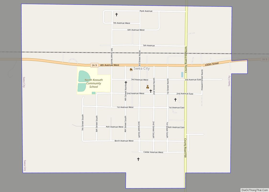
Swea City is a city in Kossuth County, Iowa, United States. The population was 566 at the time of the 2020 census. Swea City city overview: Name: Swea City city LSAD Code: 25 LSAD Description: city (suffix) State: Iowa County: Kossuth County Elevation: 1,181 ft (360 m) Total Area: 0.77 sq mi (1.99 km²) Land Area: 0.77 sq mi (1.99 km²) Water Area: ... Read more
Iowa Cities and Places
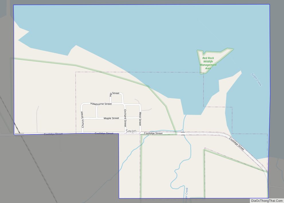
Swan is a city in Marion County, Iowa, United States. The population was 76 at the time of the 2020 census. Swan city overview: Name: Swan city LSAD Code: 25 LSAD Description: city (suffix) State: Iowa County: Marion County Elevation: 778 ft (237 m) Total Area: 0.62 sq mi (1.60 km²) Land Area: 0.62 sq mi (1.60 km²) Water Area: 0.00 sq mi (0.00 km²) Total ... Read more
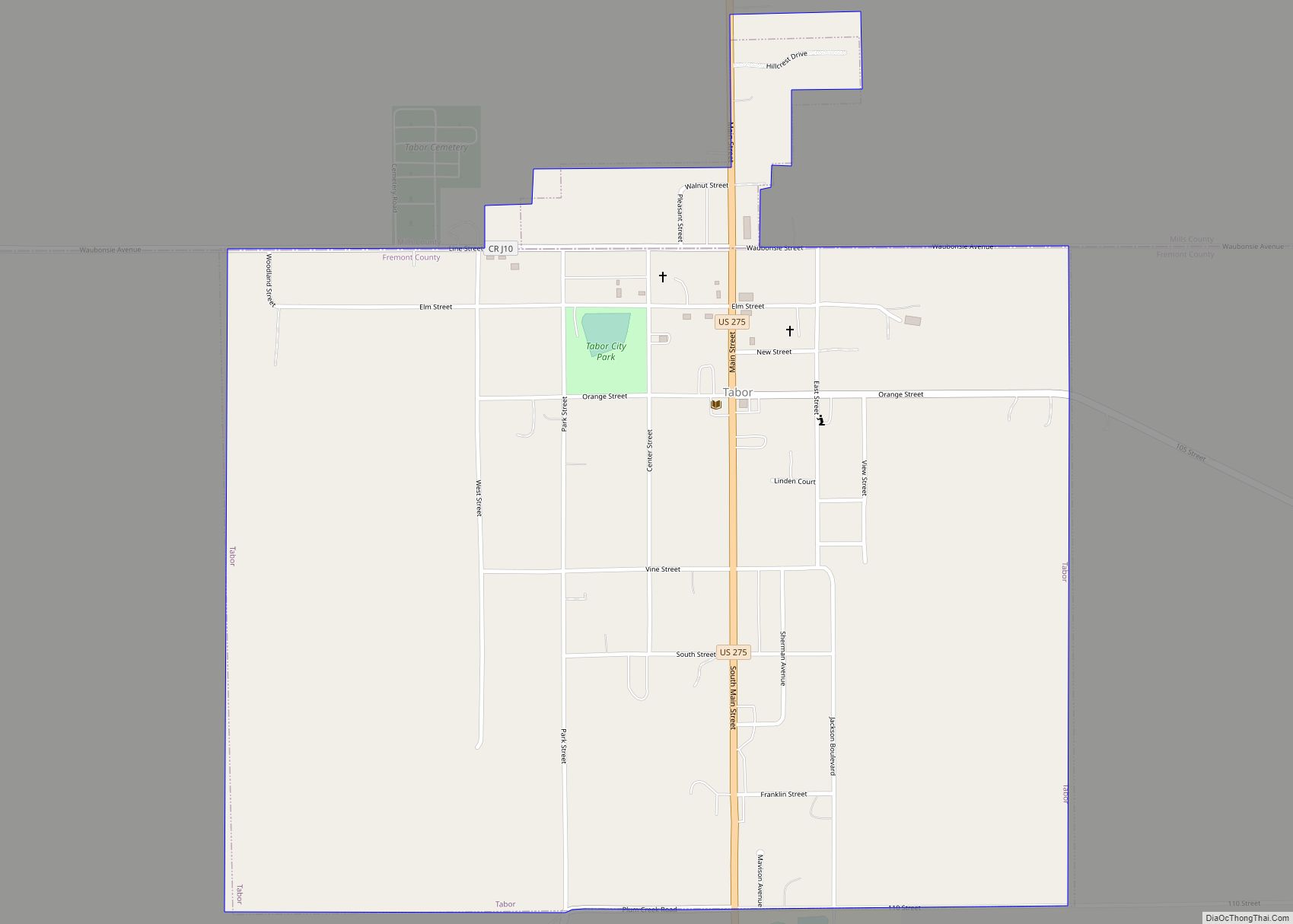
Tabor is a city in Fremont County and extends northward into Mills County in the U.S. state of Iowa. The population was 928 at the time of the 2020 census. Tabor city overview: Name: Tabor city LSAD Code: 25 LSAD Description: city (suffix) State: Iowa County: Fremont County, Mills County Elevation: 1,253 ft (382 m) Total Area: ... Read more
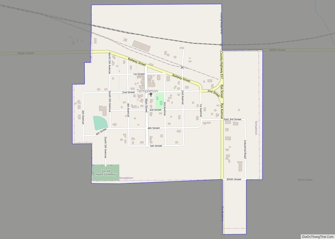
Templeton is a city in Carroll County, Iowa, United States. The population was 352 at the time of the 2020 census. Templeton city overview: Name: Templeton city LSAD Code: 25 LSAD Description: city (suffix) State: Iowa County: Carroll County Elevation: 1,440 ft (439 m) Total Area: 0.45 sq mi (1.17 km²) Land Area: 0.45 sq mi (1.17 km²) Water Area: 0.00 sq mi (0.00 km²) Total ... Read more
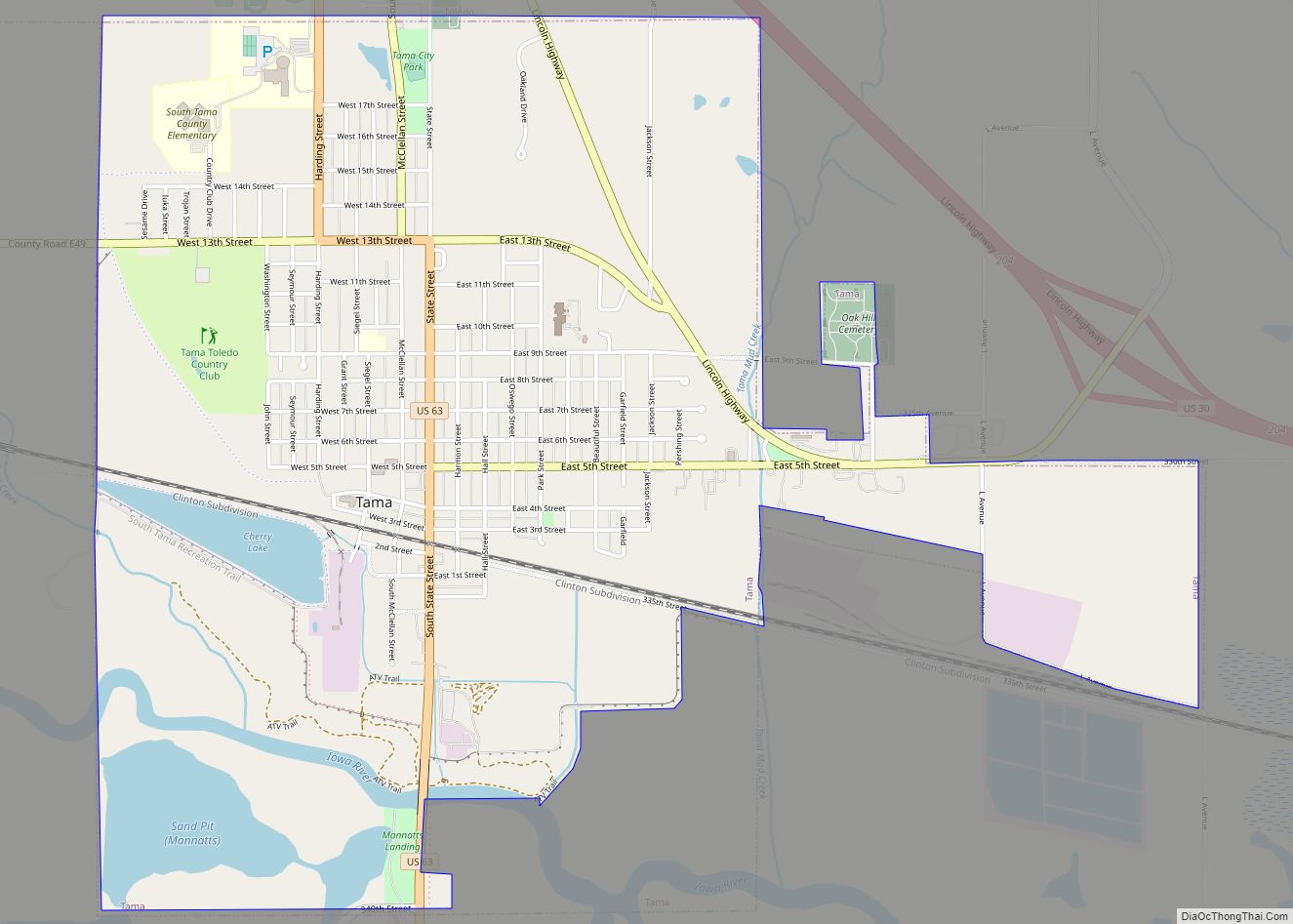
Tama is a city in Tama County, Iowa, United States. The population was 3,130 at the time of the 2020 census. Tama is situated two miles south of Toledo, the county seat. The two towns are close enough to have nearly grown together over the years. Tama city overview: Name: Tama city LSAD Code: 25 ... Read more
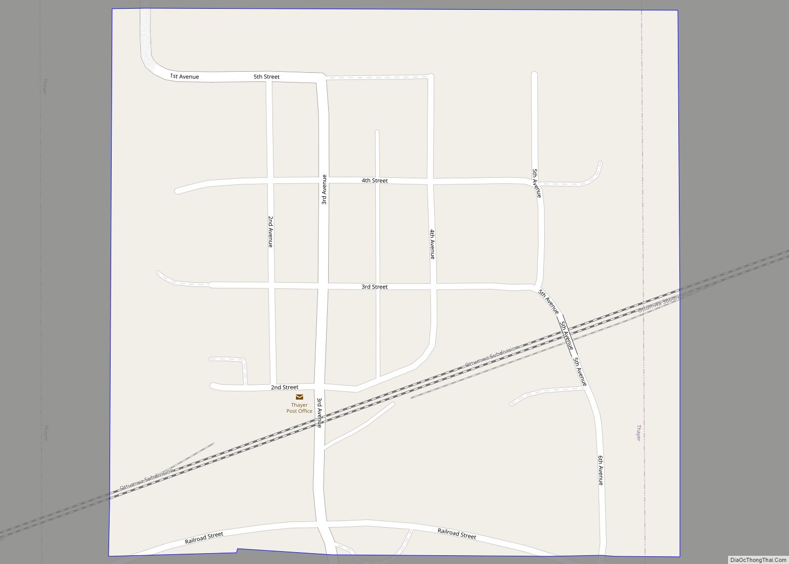
Thayer is a city in Union County, Iowa, United States. The population was 51 at the time of the 2020 census. Thayer city overview: Name: Thayer city LSAD Code: 25 LSAD Description: city (suffix) State: Iowa County: Union County Elevation: 1,106 ft (337 m) Total Area: 0.14 sq mi (0.37 km²) Land Area: 0.14 sq mi (0.37 km²) Water Area: 0.00 sq mi (0.00 km²) Total ... Read more
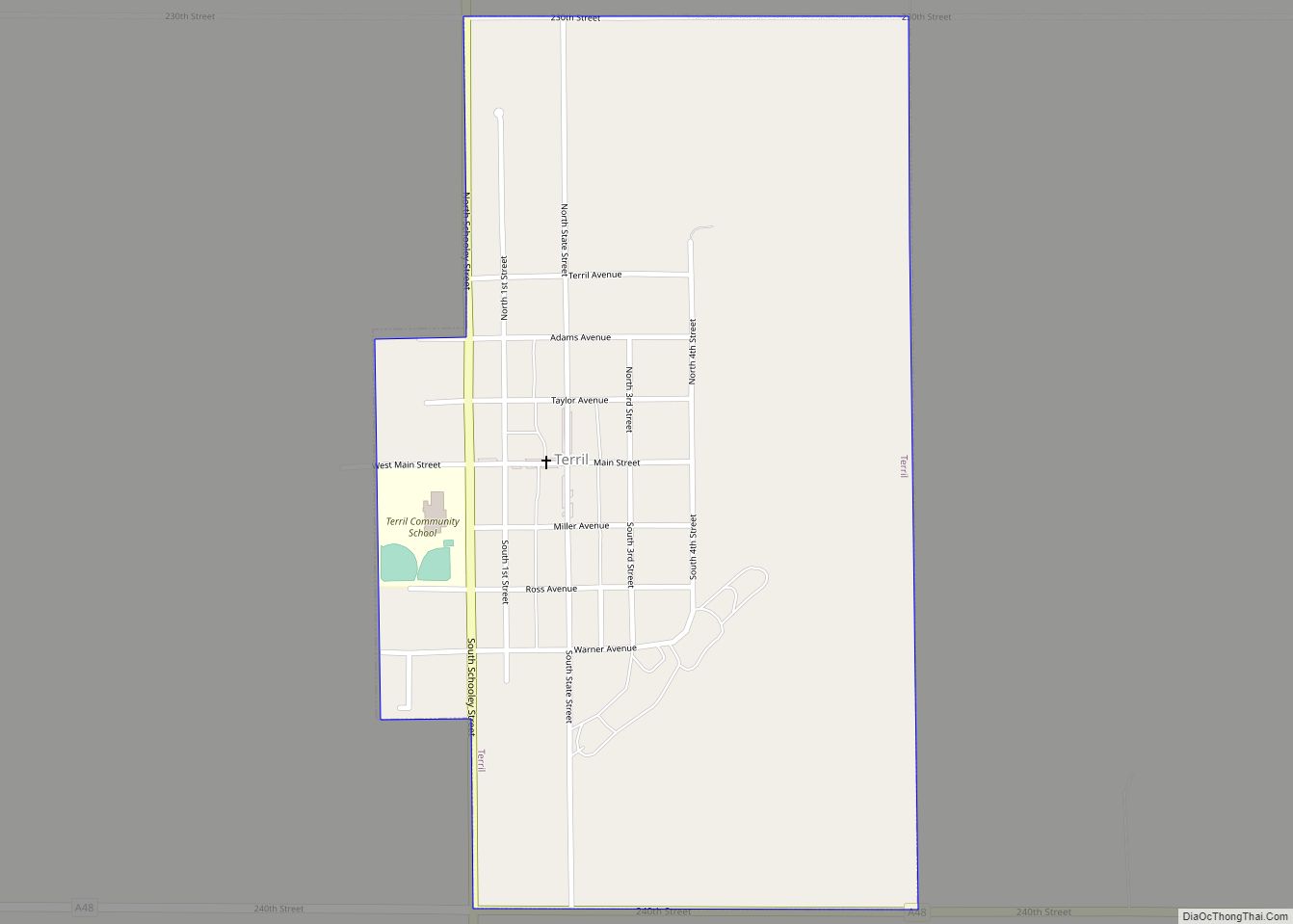
Terril is a city in Dickinson County, Iowa, United States. The population was 334 at the time of the 2020 census. Terril city overview: Name: Terril city LSAD Code: 25 LSAD Description: city (suffix) State: Iowa County: Dickinson County Elevation: 1,434 ft (437 m) Total Area: 0.54 sq mi (1.41 km²) Land Area: 0.54 sq mi (1.41 km²) Water Area: 0.00 sq mi (0.00 km²) Total ... Read more
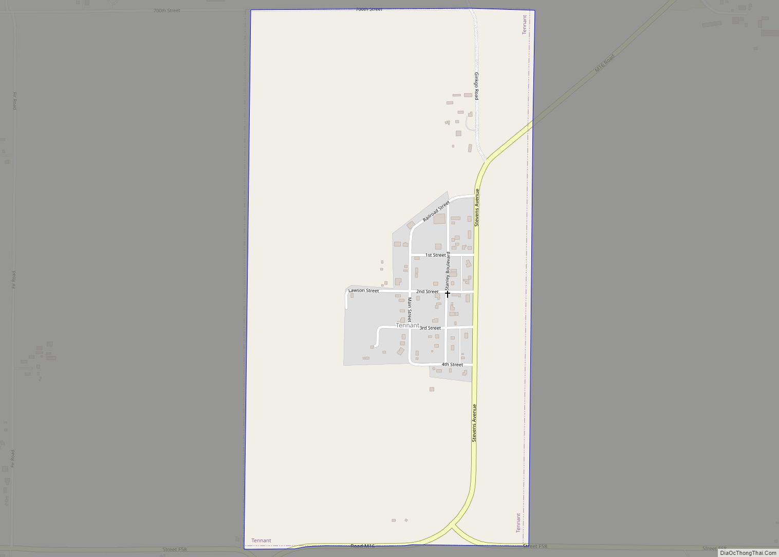
Tennant is a city in Shelby County, Iowa, United States. The population was 78 at the time of the 2020 census. Tennant city overview: Name: Tennant city LSAD Code: 25 LSAD Description: city (suffix) State: Iowa County: Shelby County Elevation: 1,381 ft (421 m) Total Area: 0.72 sq mi (1.86 km²) Land Area: 0.72 sq mi (1.86 km²) Water Area: 0.00 sq mi (0.00 km²) Total ... Read more
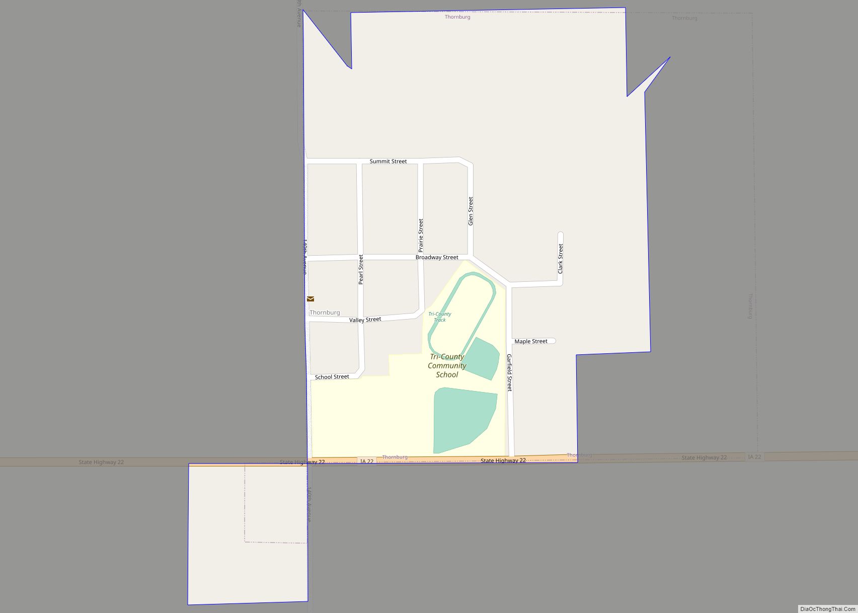
Thornburg is a village in Keokuk County, Iowa, United States. The population was 45 at the time of the 2020 census. Its sole enterprise is the Tri-County Community School, a public school serving grades K-12. Thornburg city overview: Name: Thornburg city LSAD Code: 25 LSAD Description: city (suffix) State: Iowa County: Keokuk County Elevation: 879 ft ... Read more
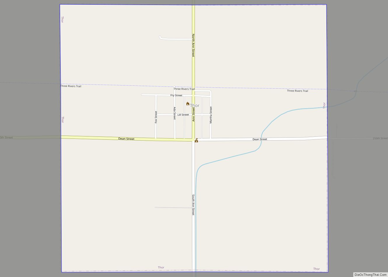
Thor is a town in Norway Township, Humboldt County, Iowa, United States. The population was 181 at the time of the 2020 census. Thor city overview: Name: Thor city LSAD Code: 25 LSAD Description: city (suffix) State: Iowa County: Humboldt County Elevation: 1,138 ft (347 m) Total Area: 0.99 sq mi (2.58 km²) Land Area: 0.99 sq mi (2.58 km²) Water Area: 0.00 sq mi ... Read more
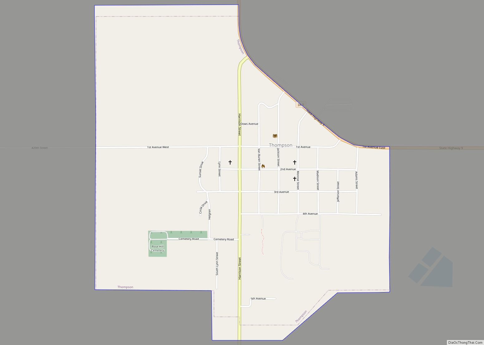
Thompson is a city in Winnebago County, Iowa, United States. The population was 495 at the time of the 2020 census. Thompson is home to the Winnebago County Fair, held annually, various agricultural businesses, a public outdoor swimming pool, the Thompson Museum, the Heartland Power Cooperative, and Bethany Lutheran Church, built in 1902. Businesses serving ... Read more
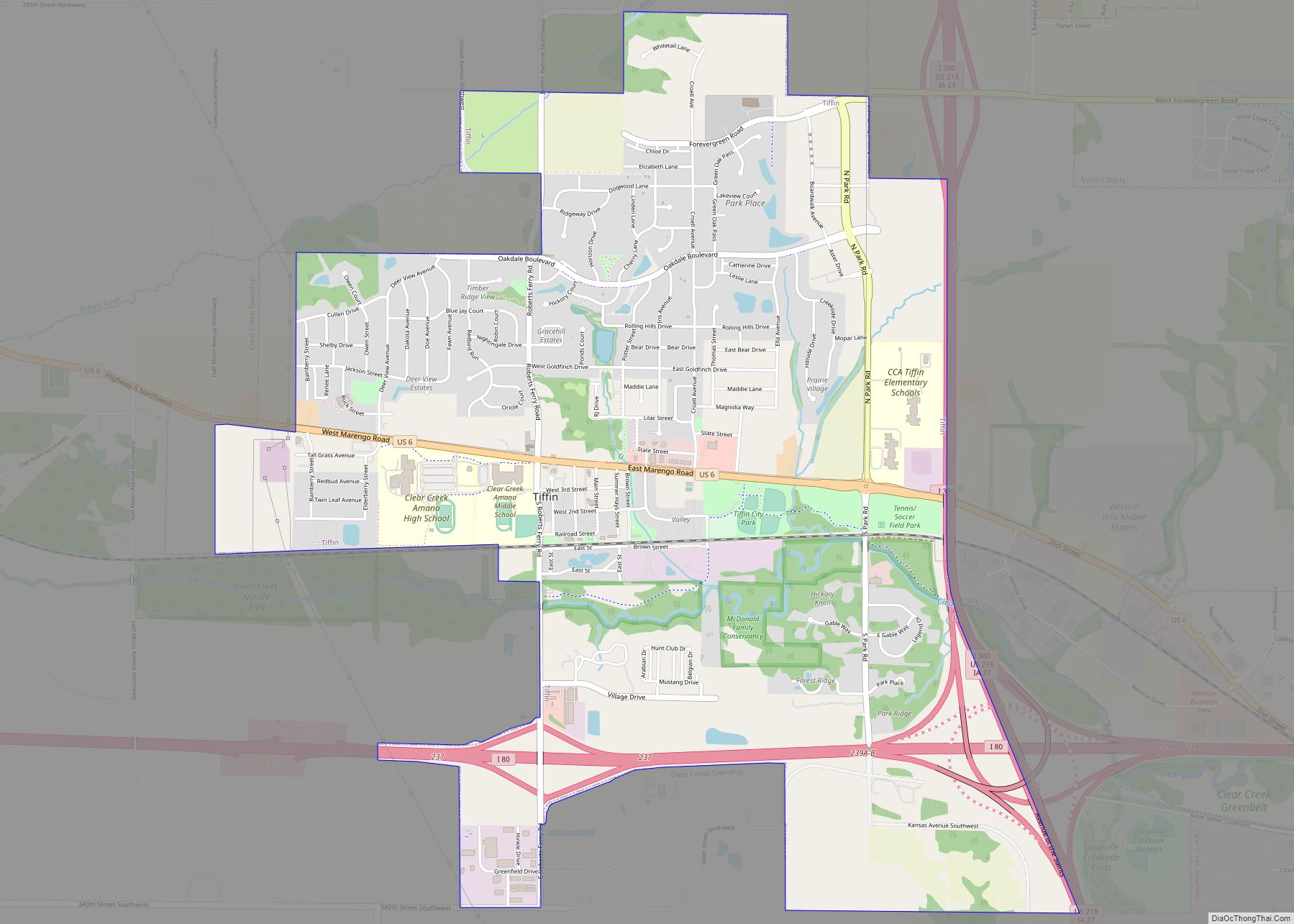
Tiffin is a city in Johnson County, Iowa, United States. It is part of the Iowa City, Iowa Metropolitan Statistical Area. The population was 4,512 at the time of the 2020 census. F. W. Kent County Park is located just to the west of Tiffin, and is a popular site for outdoor recreation in Johnson ... Read more
