Tabor is a city in Fremont County and extends northward into Mills County in the U.S. state of Iowa. The population was 928 at the time of the 2020 census.
| Name: | Tabor city |
|---|---|
| LSAD Code: | 25 |
| LSAD Description: | city (suffix) |
| State: | Iowa |
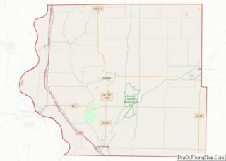
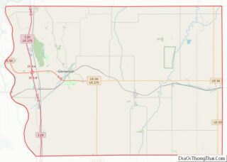
| County: | Fremont County, Mills County |
| Elevation: | 1,253 ft (382 m) |
| Total Area: | 1.29 sq mi (3.35 km²) |
| Land Area: | 1.29 sq mi (3.35 km²) |
| Water Area: | 0.00 sq mi (0.00 km²) |
| Total Population: | 1,014 |
| Population Density: | 784.83/sq mi (303.08/km²) |
| ZIP code: | 51653 |
| Area code: | 712 |
| FIPS code: | 1976935 |
| GNISfeature ID: | 0462169 |
| Website: | www.taboriowa.us |
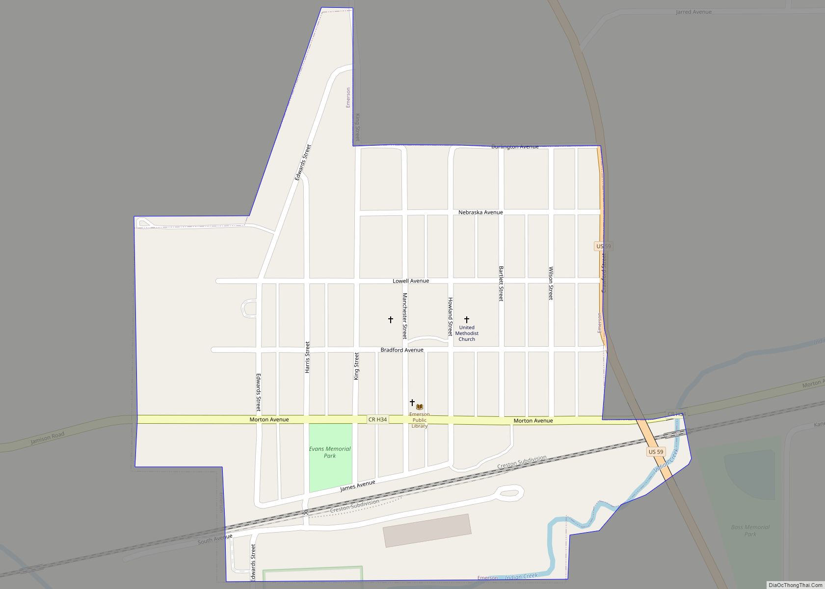
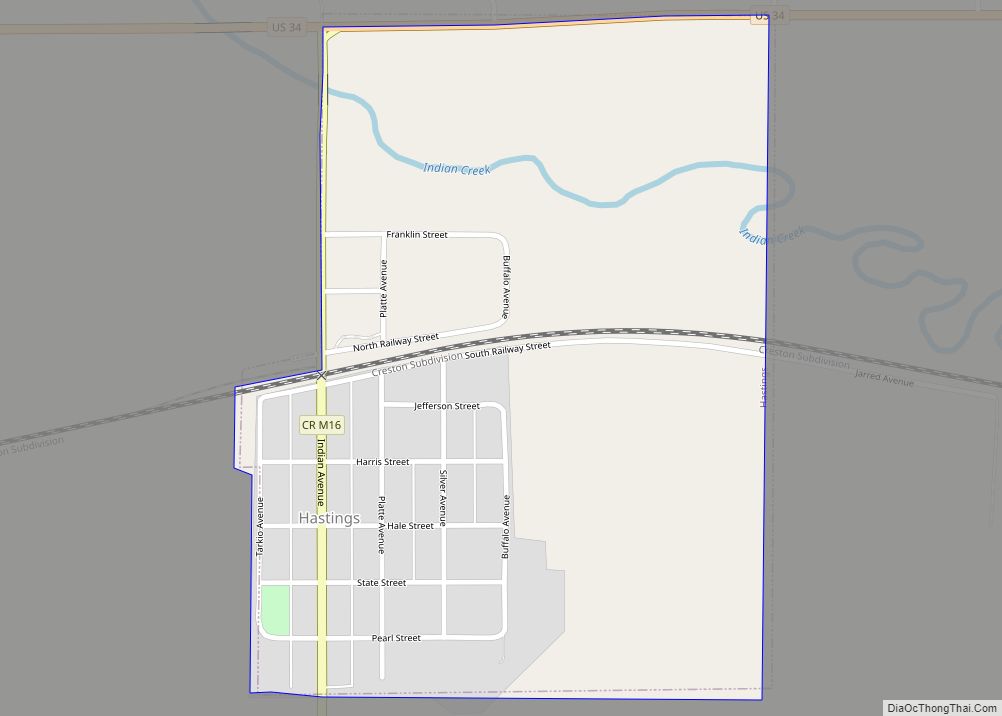
Online Interactive Map
Click on ![]() to view map in "full screen" mode.
to view map in "full screen" mode.
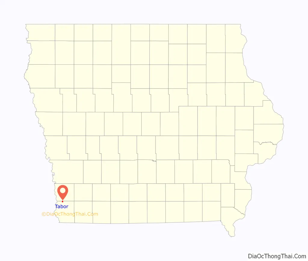
Tabor location map. Where is Tabor city?

History
In 1852 the city of Tabor was founded by “a few families from Oberlin, Ohio, almost all of them Congregationalists,” “generous people, early settlers from New England and Ohio who had brought with them Puritan ideas of religion, and Sumner’s and Phillips’ and Garrison’s ideas of freedom.” Among them were the Christian clergymen George Gaston, Samuel A. Adams, and Rev. John Todd, and their families. They chose to settle in what is now Tabor in order to found a Christian college, which eventually became Tabor College. The founders were impressed with this high location and mutually selected the name “Tabor” after the Biblical name of Mount Tabor, a mountain near Nazareth, the town of Jesus’ childhood.
The town was the home of many abolitionists; Rev. Todd, co-founder of Tabor College, was a “conductor” on the Underground Railroad. The residents of Tabor held monthly abolitionist prayer meetings, and helped runaway slaves whenever they could.
During the Bleeding Kansas period (1854–1860), Tabor was on a route established to enable anti-slavery partisans to reach Kansas without needing to go through the slave state of Missouri. A shipment of 200 Sharps rifles, sent from Boston for use in Kansas by free-state partisans, were stored there (in John Todd’s barn). In 1857–1858 abolitionist John Brown spent the winter in Tabor, assembling and training men for his raid on Harpers Ferry.
Tabor College was located in the city from 1853 until 1927, when it closed for financial reasons. The college’s buildings housed German Prisoners of War during World War II.
The Tabor & Northern Railway, a 9-mile line connecting with the Wabash Railroad at Malvern, operated from 1889 to 1934. It was operated by the College.
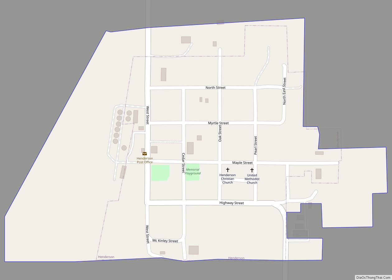
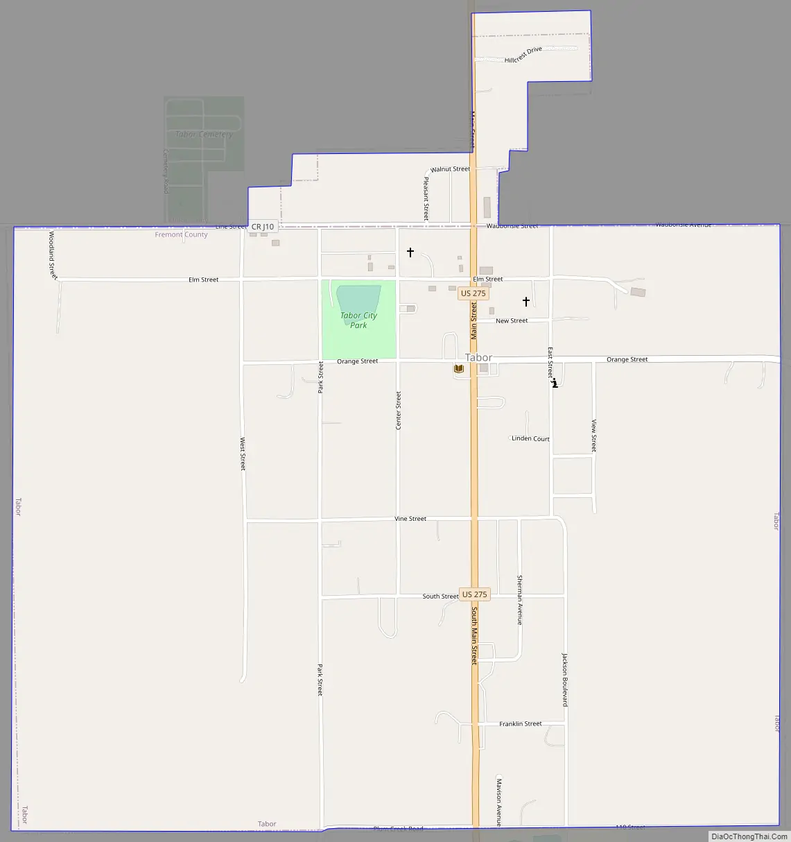
Tabor Road Map
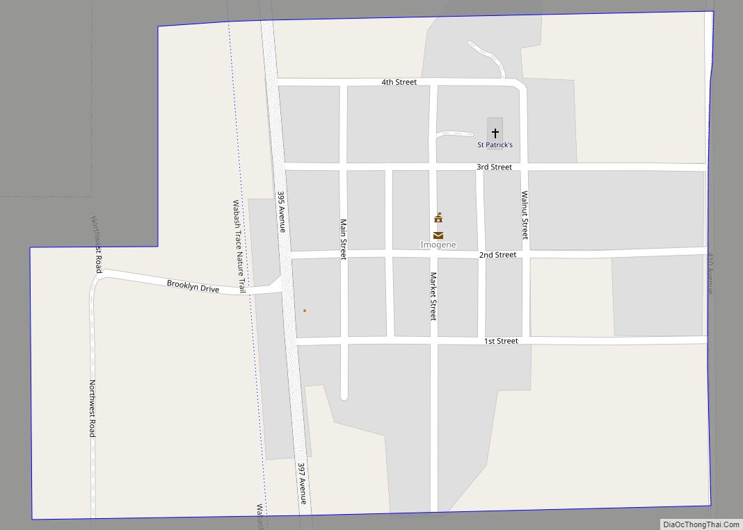
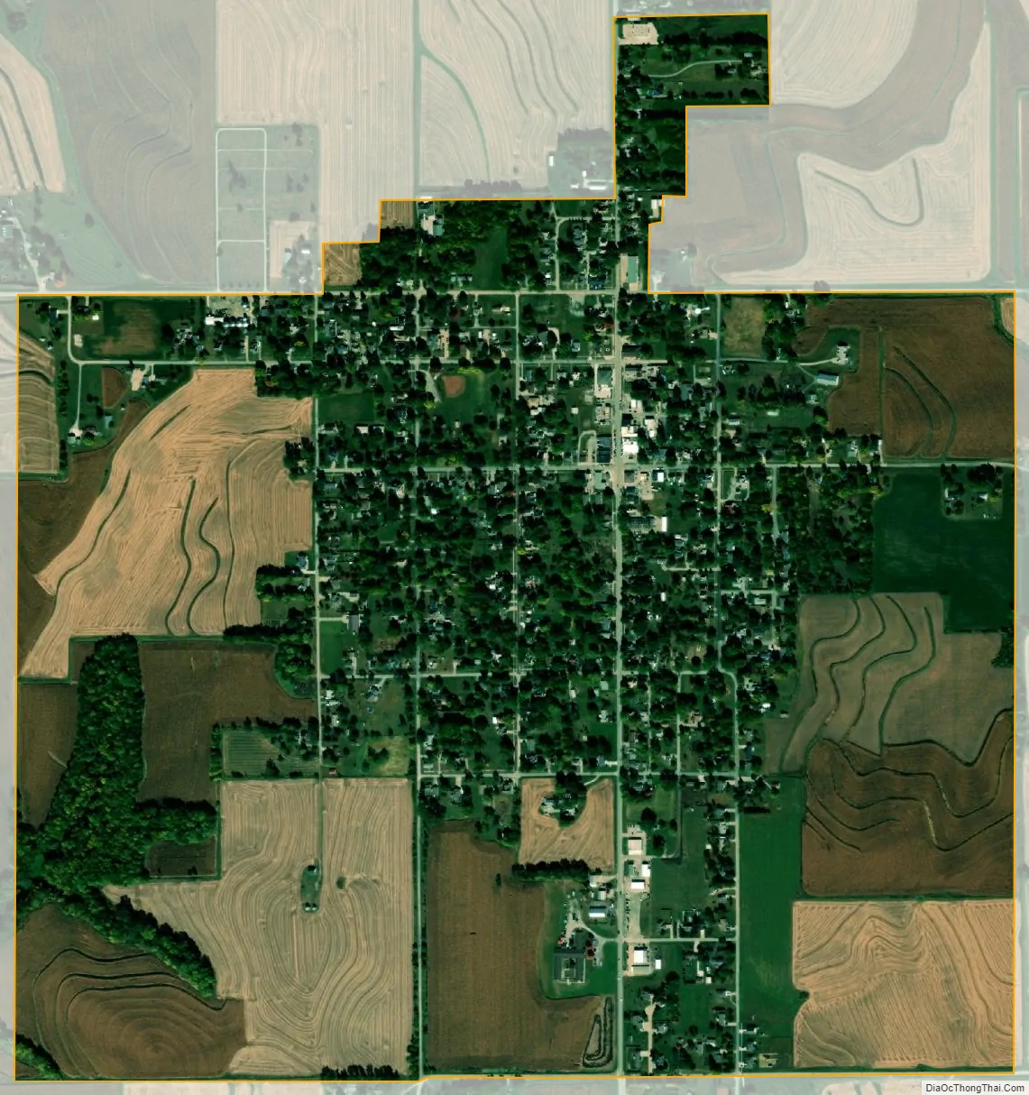
Tabor city Satellite Map
Geography
Tabor is located at 40°53′48″N 95°40′21″W / 40.89667°N 95.67250°W / 40.89667; -95.67250 (40.896605, -95.672368).
According to the United States Census Bureau, the city has a total area of 1.29 square miles (3.34 km), all land.
See also
Map of Iowa State and its subdivision:- Adair
- Adams
- Allamakee
- Appanoose
- Audubon
- Benton
- Black Hawk
- Boone
- Bremer
- Buchanan
- Buena Vista
- Butler
- Calhoun
- Carroll
- Cass
- Cedar
- Cerro Gordo
- Cherokee
- Chickasaw
- Clarke
- Clay
- Clayton
- Clinton
- Crawford
- Dallas
- Davis
- Decatur
- Delaware
- Des Moines
- Dickinson
- Dubuque
- Emmet
- Fayette
- Floyd
- Franklin
- Fremont
- Greene
- Grundy
- Guthrie
- Hamilton
- Hancock
- Hardin
- Harrison
- Henry
- Howard
- Humboldt
- Ida
- Iowa
- Jackson
- Jasper
- Jefferson
- Johnson
- Jones
- Keokuk
- Kossuth
- Lee
- Linn
- Louisa
- Lucas
- Lyon
- Madison
- Mahaska
- Marion
- Marshall
- Mills
- Mitchell
- Monona
- Monroe
- Montgomery
- Muscatine
- O'Brien
- Osceola
- Page
- Palo Alto
- Plymouth
- Pocahontas
- Polk
- Pottawattamie
- Poweshiek
- Ringgold
- Sac
- Scott
- Shelby
- Sioux
- Story
- Tama
- Taylor
- Union
- Van Buren
- Wapello
- Warren
- Washington
- Wayne
- Webster
- Winnebago
- Winneshiek
- Woodbury
- Worth
- Wright
- Alabama
- Alaska
- Arizona
- Arkansas
- California
- Colorado
- Connecticut
- Delaware
- District of Columbia
- Florida
- Georgia
- Hawaii
- Idaho
- Illinois
- Indiana
- Iowa
- Kansas
- Kentucky
- Louisiana
- Maine
- Maryland
- Massachusetts
- Michigan
- Minnesota
- Mississippi
- Missouri
- Montana
- Nebraska
- Nevada
- New Hampshire
- New Jersey
- New Mexico
- New York
- North Carolina
- North Dakota
- Ohio
- Oklahoma
- Oregon
- Pennsylvania
- Rhode Island
- South Carolina
- South Dakota
- Tennessee
- Texas
- Utah
- Vermont
- Virginia
- Washington
- West Virginia
- Wisconsin
- Wyoming