Tama is a city in Tama County, Iowa, United States. The population was 3,130 at the time of the 2020 census.
Tama is situated two miles south of Toledo, the county seat. The two towns are close enough to have nearly grown together over the years.
| Name: | Tama city |
|---|---|
| LSAD Code: | 25 |
| LSAD Description: | city (suffix) |
| State: | Iowa |
| County: | Tama County |
| Elevation: | 840 ft (256 m) |
| Total Area: | 3.12 sq mi (8.07 km²) |
| Land Area: | 2.97 sq mi (7.70 km²) |
| Water Area: | 0.15 sq mi (0.38 km²) |
| Total Population: | 3,130 |
| Population Density: | 1,053.52/sq mi (406.74/km²) |
| ZIP code: | 52339 |
| Area code: | 641 |
| FIPS code: | 1977115 |
| GNISfeature ID: | 0462174 |
| Website: | www.tamacityia.gov |
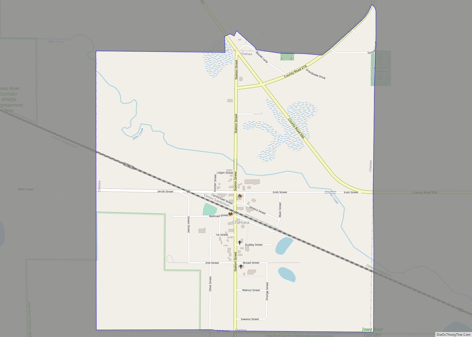
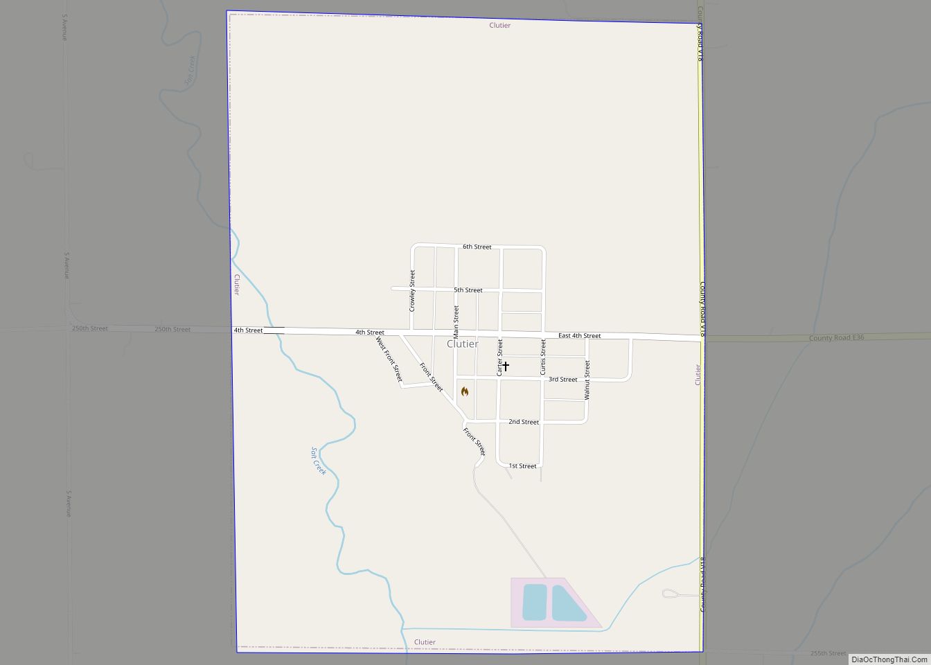
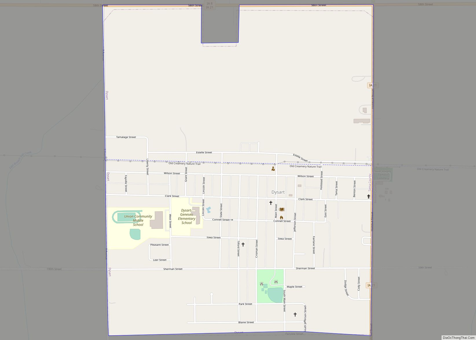
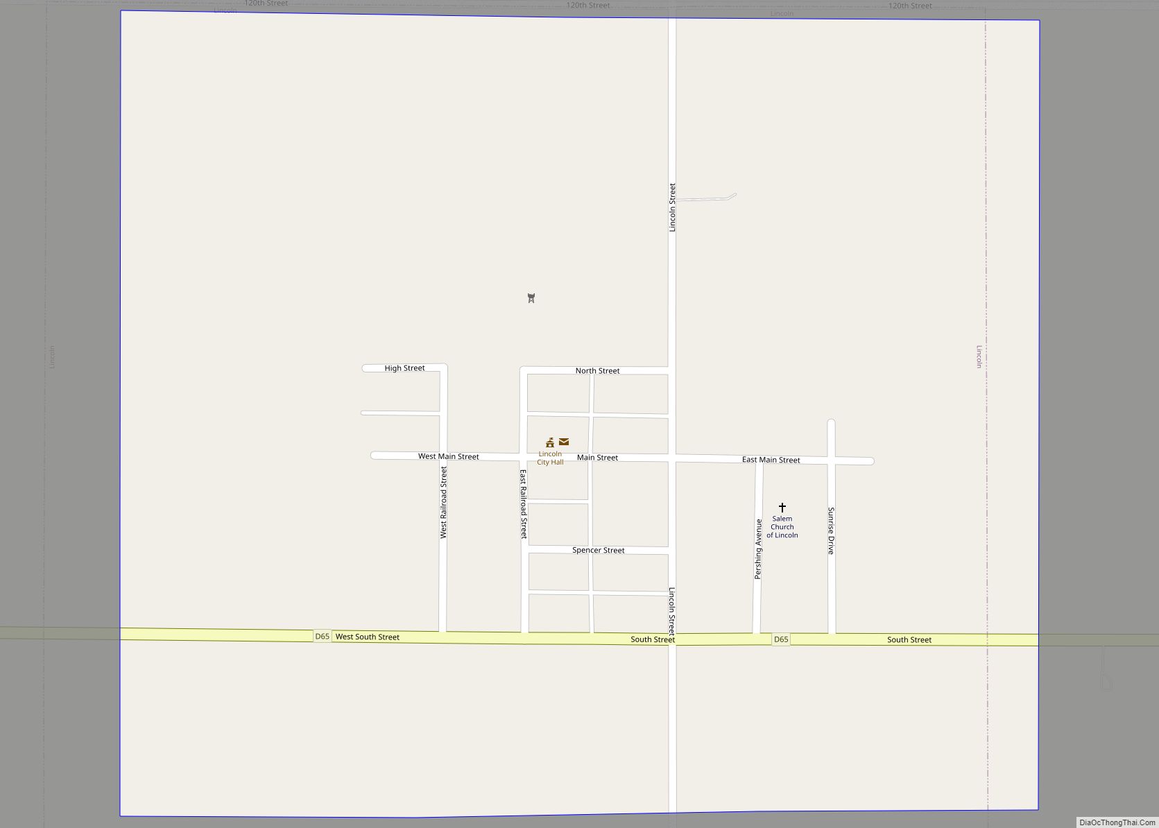
Online Interactive Map
Click on ![]() to view map in "full screen" mode.
to view map in "full screen" mode.
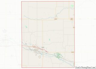
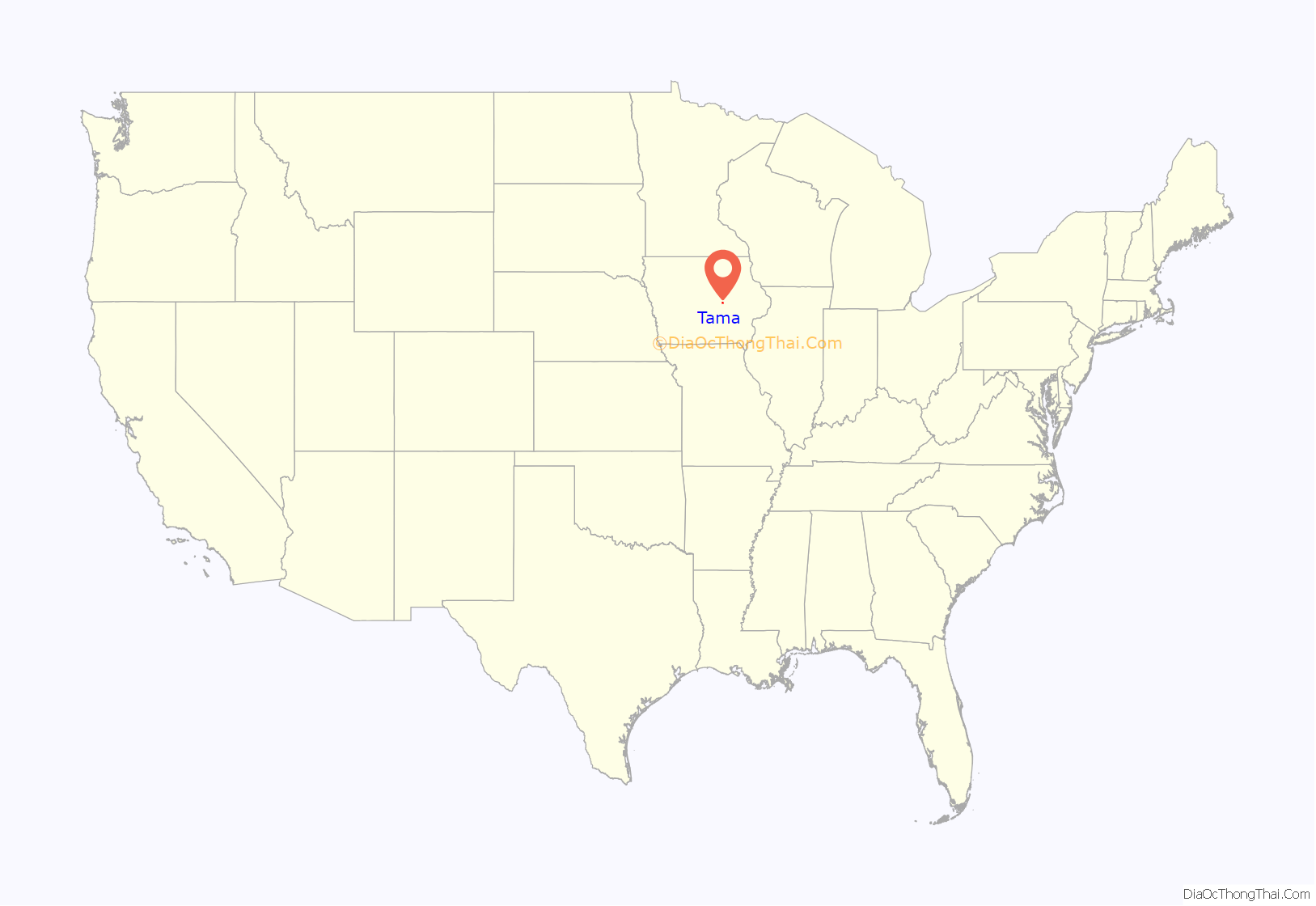
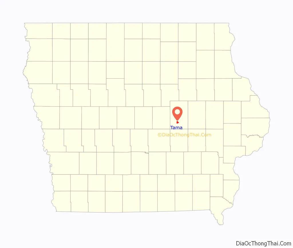
Tama location map. Where is Tama city?
History
Tama got its start in the year 1862, following construction of the Cedar Rapids and Missouri River Railroad through the territory.
Tama is located a few miles from the Meskwaki Settlement, Iowa’s only significant Native American community. Tama was located on the historic Lincoln Highway and is home to an original Lincoln Highway bridge, listed on the National Register of Historic Places. Tama is named for Taimah, the 19th century Meskwaki leader.
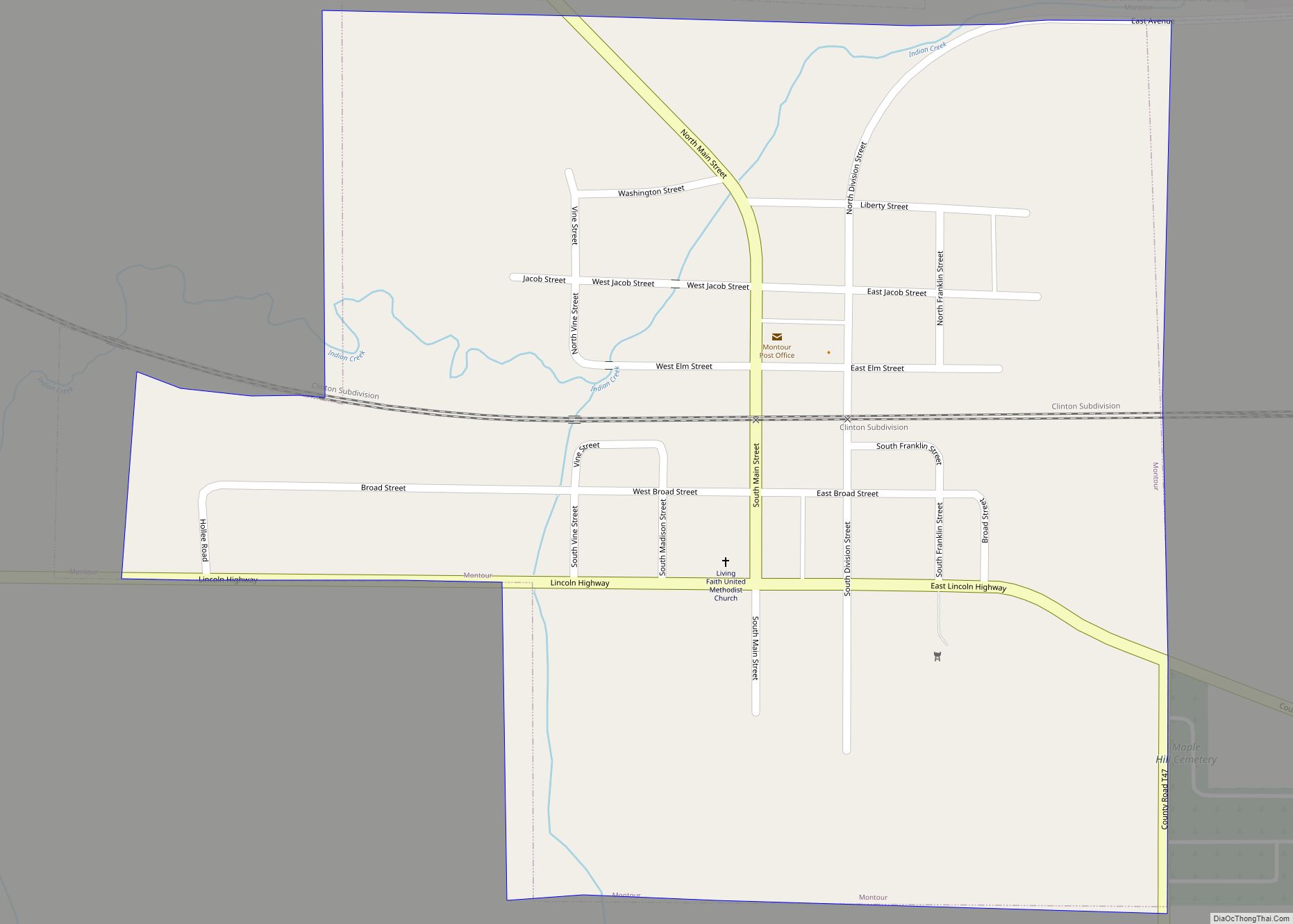
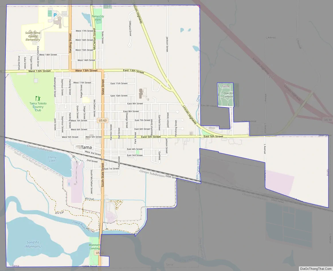
Tama Road Map
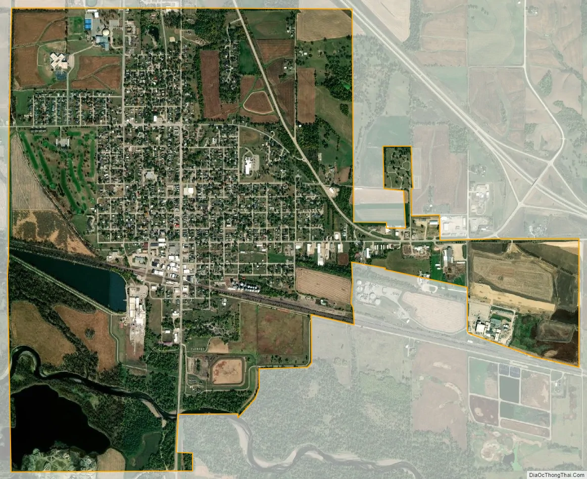
Tama city Satellite Map
Geography
According to the United States Census Bureau, the city has a total area of 3.41 square miles (8.8 km), of which 3.26 square miles (8.4 km) is land and 0.15 square miles (0.39 km) is water.
See also
Map of Iowa State and its subdivision:- Adair
- Adams
- Allamakee
- Appanoose
- Audubon
- Benton
- Black Hawk
- Boone
- Bremer
- Buchanan
- Buena Vista
- Butler
- Calhoun
- Carroll
- Cass
- Cedar
- Cerro Gordo
- Cherokee
- Chickasaw
- Clarke
- Clay
- Clayton
- Clinton
- Crawford
- Dallas
- Davis
- Decatur
- Delaware
- Des Moines
- Dickinson
- Dubuque
- Emmet
- Fayette
- Floyd
- Franklin
- Fremont
- Greene
- Grundy
- Guthrie
- Hamilton
- Hancock
- Hardin
- Harrison
- Henry
- Howard
- Humboldt
- Ida
- Iowa
- Jackson
- Jasper
- Jefferson
- Johnson
- Jones
- Keokuk
- Kossuth
- Lee
- Linn
- Louisa
- Lucas
- Lyon
- Madison
- Mahaska
- Marion
- Marshall
- Mills
- Mitchell
- Monona
- Monroe
- Montgomery
- Muscatine
- O'Brien
- Osceola
- Page
- Palo Alto
- Plymouth
- Pocahontas
- Polk
- Pottawattamie
- Poweshiek
- Ringgold
- Sac
- Scott
- Shelby
- Sioux
- Story
- Tama
- Taylor
- Union
- Van Buren
- Wapello
- Warren
- Washington
- Wayne
- Webster
- Winnebago
- Winneshiek
- Woodbury
- Worth
- Wright
- Alabama
- Alaska
- Arizona
- Arkansas
- California
- Colorado
- Connecticut
- Delaware
- District of Columbia
- Florida
- Georgia
- Hawaii
- Idaho
- Illinois
- Indiana
- Iowa
- Kansas
- Kentucky
- Louisiana
- Maine
- Maryland
- Massachusetts
- Michigan
- Minnesota
- Mississippi
- Missouri
- Montana
- Nebraska
- Nevada
- New Hampshire
- New Jersey
- New Mexico
- New York
- North Carolina
- North Dakota
- Ohio
- Oklahoma
- Oregon
- Pennsylvania
- Rhode Island
- South Carolina
- South Dakota
- Tennessee
- Texas
- Utah
- Vermont
- Virginia
- Washington
- West Virginia
- Wisconsin
- Wyoming