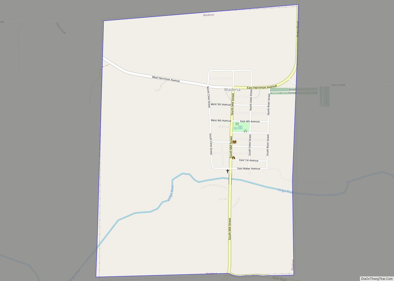
Map of Volga city

Map of Volga city, Iowa

Volga is a city in Clayton County, Iowa, United States. The population was 203 at the time of the 2020 census, down from 247 in 2000. Volga city overview: Name: Volga city LSAD Code: 25 LSAD Description: city (suffix) State: Iowa County: Clayton County Elevation: 794 ft (242 m) Total Area: 0.75 sq mi (1.95 km²) Land Area: 0.75 sq mi (1.95 km²) … Read more

Map of Vinton city

Map of Vinton city, Iowa

Vinton is a city in Benton County, Iowa, United States. The population was 4,938 in the 2020 census, a decrease from 5,102 in 2000. It is also part of the Cedar Rapids Metropolitan Statistical Area. Vinton is the county seat of Benton County. Vinton city overview: Name: Vinton city LSAD Code: 25 LSAD Description: city … Read more

Map of Walford city

Map of Walford city

Walford is a city in Benton and Linn counties in the U.S. state of Iowa. The population was 1,366 at the time of the 2020 census. It is part of the Cedar Rapids Metropolitan Statistical Area. Walford city overview: Name: Walford city LSAD Code: 25 LSAD Description: city (suffix) State: Iowa County: Benton County, Linn … Read more

Map of Walcott city

Map of Walcott city, Iowa

Walcott (/ˈwɔlkɔt/ WAWL-cawt, sometimes locally [ˈwɔlkət]) is a city in Muscatine and Scott counties in the U.S. state of Iowa. The population was 1,551 at the time of the 2020 census. Walcott’s interchange on Interstate 80 is home to an enormous complex of restaurants, motels and truck stops, including the Iowa 80 truck stop, which … Read more

Map of Wahpeton city

Map of Wahpeton city, Iowa

Wahpeton is a city in Dickinson County, Iowa, United States. The population was 345 at the time of the 2020 census. Wahpeton is part of the Iowa Great Lakes region of northwestern Iowa, which is a regional vacation and recreation destination. Wahpeton city overview: Name: Wahpeton city LSAD Code: 25 LSAD Description: city (suffix) State: … Read more

Map of Walker city, Iowa

Map of Walker city, Iowa

Walker is a city in Linn County, Iowa. The population was 688 at the 2020 census. It is part of the Cedar Rapids, Iowa metropolitan area. Walker city overview: Name: Walker city LSAD Code: 25 LSAD Description: city (suffix) State: Iowa County: Linn County Elevation: 899 ft (274 m) Total Area: 0.76 sq mi (1.97 km²) Land Area: 0.75 sq mi (1.94 km²) … Read more

Map of Wallingford city

Map of Wallingford city, Iowa

Wallingford is a city in Emmet County, Iowa, United States. The population was 197 at the 2010 census. Wallingford city overview: Name: Wallingford city LSAD Code: 25 LSAD Description: city (suffix) State: Iowa County: Emmet County Elevation: 1,273 ft (388 m) Total Area: 0.99 sq mi (2.56 km²) Land Area: 0.99 sq mi (2.56 km²) Water Area: 0.00 sq mi (0.00 km²) Total Population: 165 Population … Read more

Map of Wall Lake city

Map of Wall Lake city

Wall Lake is a city in Sac County, Iowa, United States. The population was 755 at the time of the 2020 census. Wall Lake city overview: Name: Wall Lake city LSAD Code: 25 LSAD Description: city (suffix) State: Iowa County: Sac County Elevation: 1,257 ft (383 m) Total Area: 1.15 sq mi (2.97 km²) Land Area: 1.15 sq mi (2.97 km²) Water Area: … Read more

Map of Washburn CDP

Map of Washburn CDP, Iowa

Washburn is an unincorporated town and census-designated place (CDP) in Black Hawk County, Iowa, United States. Washburn lies south of Waterloo on U.S. Route 218. Other towns near Washburn are Gilbertville and La Porte City. The community is part of the Waterloo–Cedar Falls Metropolitan Statistical Area. Washburn CDP overview: Name: Washburn CDP LSAD Code: 57 … Read more

Map of Wapello city

Map of Wapello city

Wapello is a city in and the county seat of Louisa County, Iowa, United States. The population was 2,084 at the time of the 2020 census. Wapello is part of the Muscatine Micropolitan Statistical Area. Wapello city overview: Name: Wapello city LSAD Code: 25 LSAD Description: city (suffix) State: Iowa County: Louisa County Elevation: 584 ft … Read more

Map of Walnut city, Iowa

Map of Walnut city, Iowa

Walnut is a city in Pottawattamie County, Iowa, United States. The population was 747 at the time of the 2020 census. Walnut is located on Interstate 80 and is famous for its many antique stores. In recent years Walnut has become a regional center of wind turbine electrical generation. Walnut city overview: Name: Walnut city … Read more

Map of Waterloo city, Iowa

Map of Waterloo city, Iowa

Waterloo is a city in and the county seat of Black Hawk County, Iowa, United States. As of the 2020 United States Census the population was 67,314, making it the eighth-largest city in the state. The city is part of the Waterloo – Cedar Falls Metropolitan Statistical Area, and is the more populous of the … Read more