Vinton is a city in Benton County, Iowa, United States. The population was 4,938 in the 2020 census, a decrease from 5,102 in 2000. It is also part of the Cedar Rapids Metropolitan Statistical Area. Vinton is the county seat of Benton County.
| Name: | Vinton city |
|---|---|
| LSAD Code: | 25 |
| LSAD Description: | city (suffix) |
| State: | Iowa |
| County: | Benton County |
| Elevation: | 787 ft (240 m) |
| Total Area: | 4.97 sq mi (12.88 km²) |
| Land Area: | 4.88 sq mi (12.65 km²) |
| Water Area: | 0.09 sq mi (0.22 km²) |
| Total Population: | 4,938 |
| Population Density: | 1,010.85/sq mi (390.32/km²) |
| ZIP code: | 52349 |
| Area code: | 319 |
| FIPS code: | 1981210 |
| GNISfeature ID: | 0462580 |
| Website: | www.vintoniowa.net |
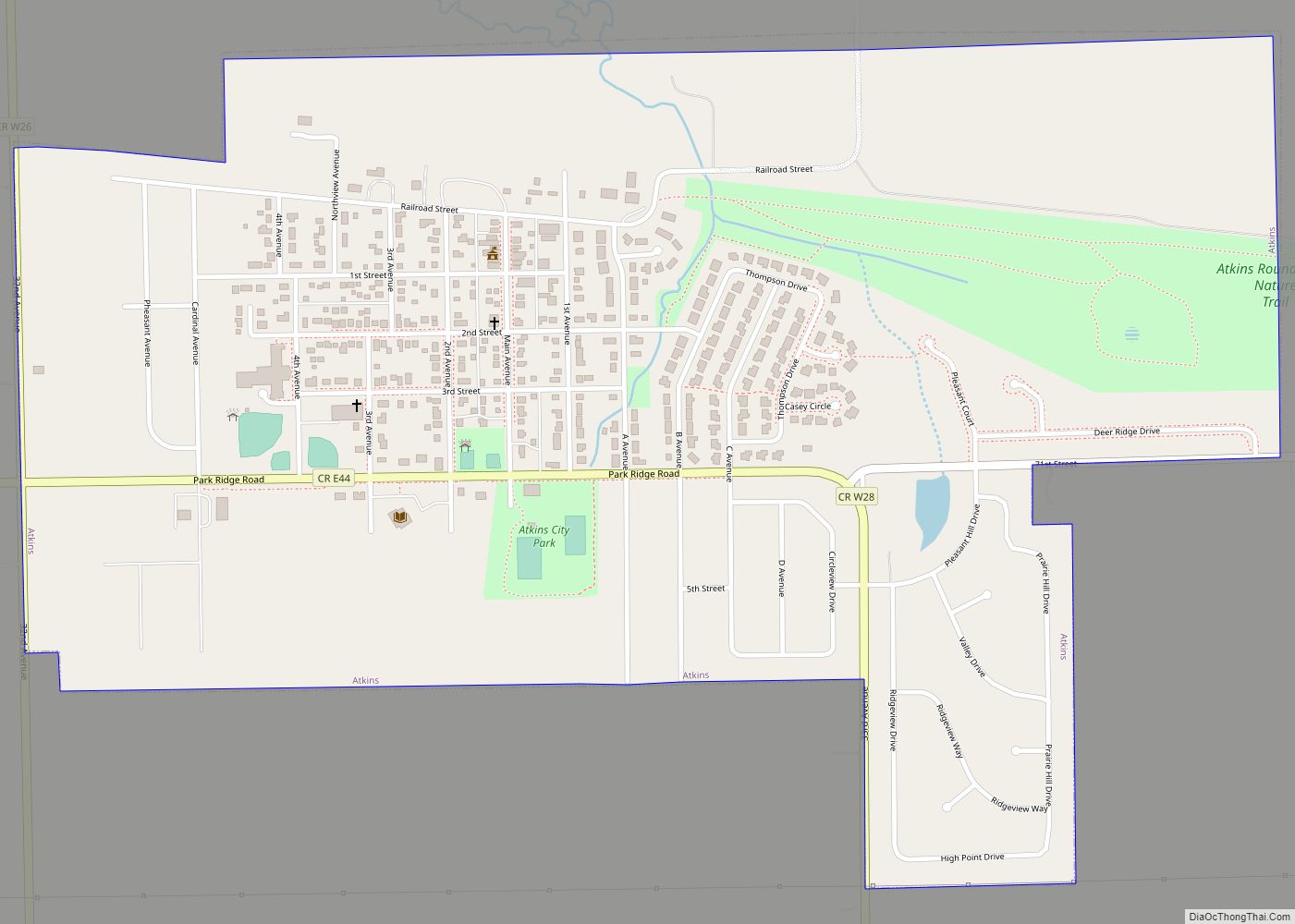
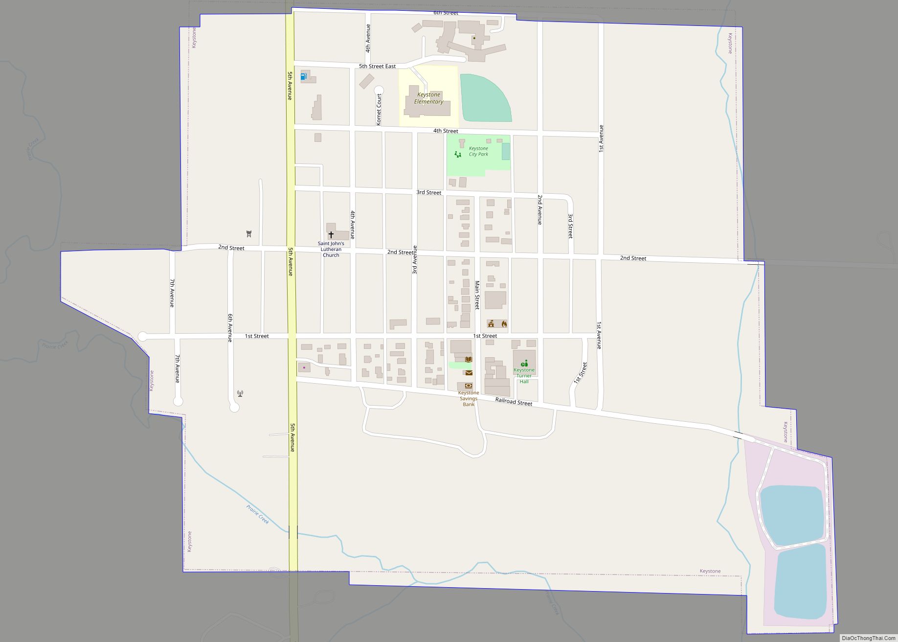
Online Interactive Map
Click on ![]() to view map in "full screen" mode.
to view map in "full screen" mode.
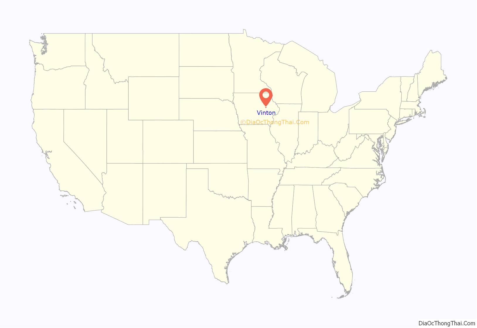
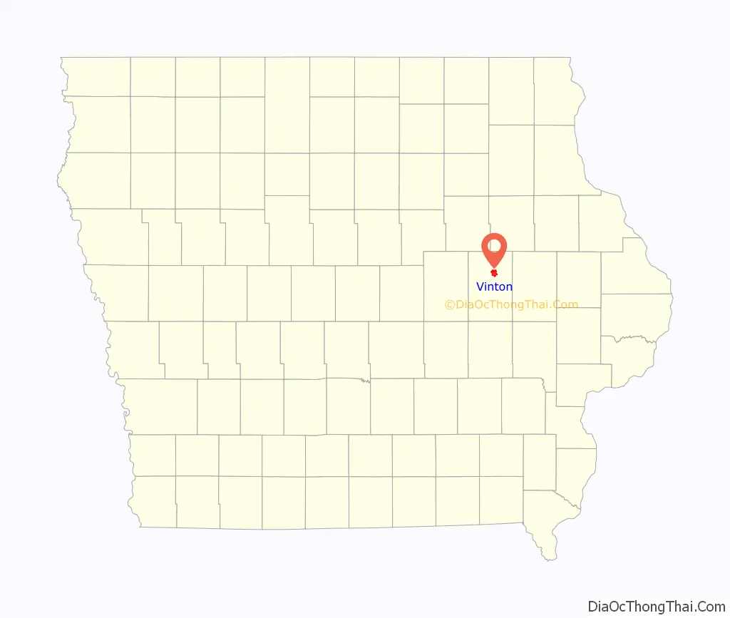
Vinton location map. Where is Vinton city?
History
Vinton was founded in 1849. It was named for Hon. Plynn Vinton, a state legislator. The first railroad line was extended to Vinton in 1869, and it was incorporated as a city that same year.
In 2022, the library in Vinton closed after its full-time employees quit following complaints and allegations by patrons that included: the head librarian’s “hiring and support for LGBTQ+ staff”; books by Jill Biden and Kamala Harris, and none about Donald Trump; “LGBTQ-themed book displays in the children’s section”; and male staff members “wearing dresses”. One of the library’s former directors said they had 173 books about Christian life, and seven books about “LGBT, gay or transgender” topics; another former director said some patrons “would check out the books and not return them”, rather than file written complaints about the books.
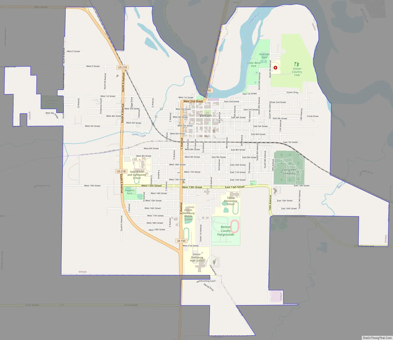
Vinton Road Map
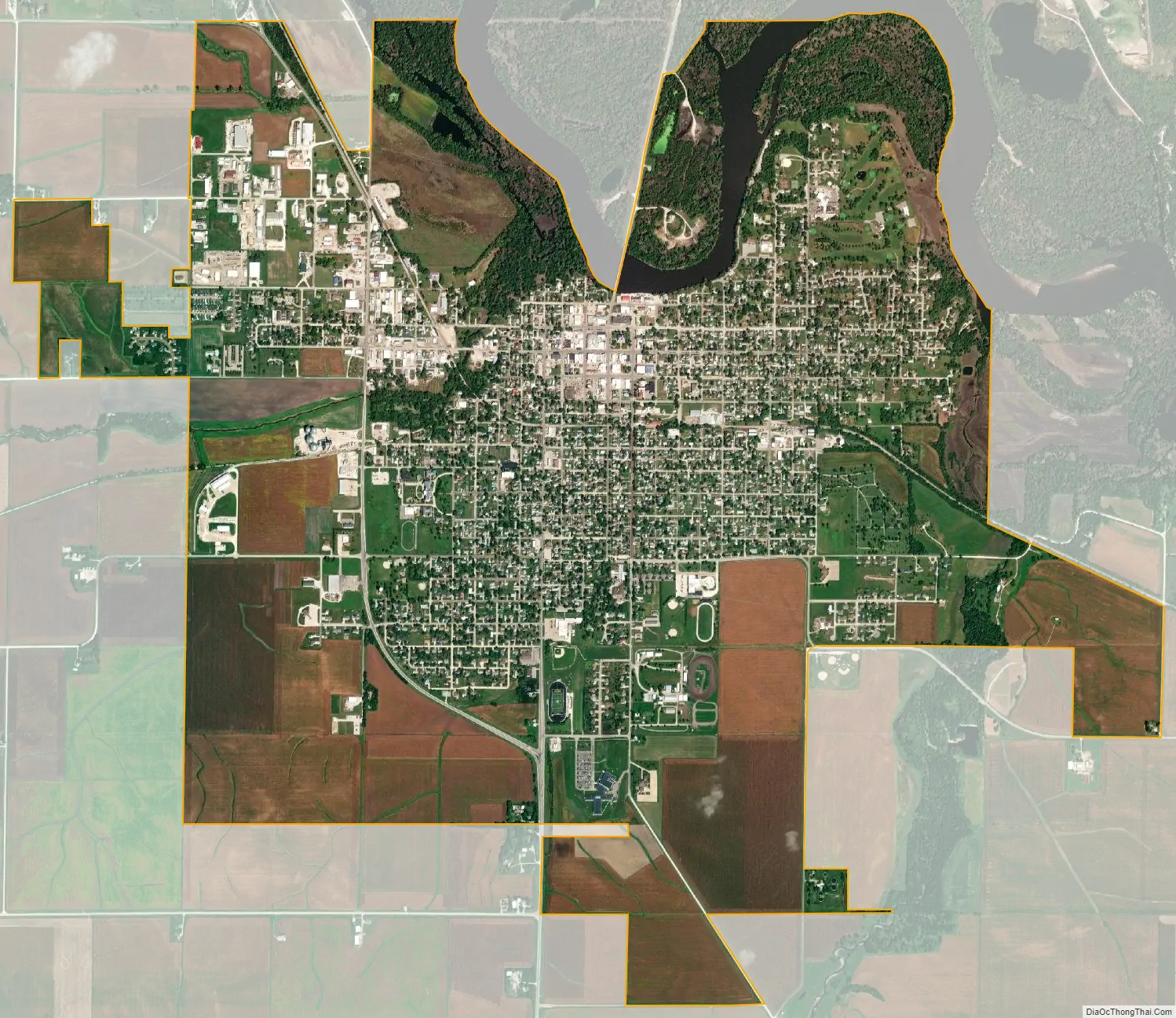
Vinton city Satellite Map
Geography
According to the United States Census Bureau, the city has a total area of 4.83 square miles (12.51 km), of which 4.74 square miles (12.28 km) is land and 0.09 square miles (0.23 km) is water.
Vinton is located on U.S. Route 218 and the Cedar River, which has flooded parts of the city, most recently in 2008. The town’s extensive tree cover was damaged by a derecho (straight line windstorm) on July 11, 2011.
Climate
This region experiences significant seasonal temperature fluctuations, going from warm summers to very cold winters. There is precipitation year-round, and snowfall occurs in almost all years. Most summer rainfall occurs during thunderstorms and a very occasional tropical system. Vinton averages 32.7 inches of precipitation annually. May and June are the wettest months; January and February, the driest. This area is classified as humid because it is not dry enough to be classified as semi-arid or arid.
See also
Map of Iowa State and its subdivision:- Adair
- Adams
- Allamakee
- Appanoose
- Audubon
- Benton
- Black Hawk
- Boone
- Bremer
- Buchanan
- Buena Vista
- Butler
- Calhoun
- Carroll
- Cass
- Cedar
- Cerro Gordo
- Cherokee
- Chickasaw
- Clarke
- Clay
- Clayton
- Clinton
- Crawford
- Dallas
- Davis
- Decatur
- Delaware
- Des Moines
- Dickinson
- Dubuque
- Emmet
- Fayette
- Floyd
- Franklin
- Fremont
- Greene
- Grundy
- Guthrie
- Hamilton
- Hancock
- Hardin
- Harrison
- Henry
- Howard
- Humboldt
- Ida
- Iowa
- Jackson
- Jasper
- Jefferson
- Johnson
- Jones
- Keokuk
- Kossuth
- Lee
- Linn
- Louisa
- Lucas
- Lyon
- Madison
- Mahaska
- Marion
- Marshall
- Mills
- Mitchell
- Monona
- Monroe
- Montgomery
- Muscatine
- O'Brien
- Osceola
- Page
- Palo Alto
- Plymouth
- Pocahontas
- Polk
- Pottawattamie
- Poweshiek
- Ringgold
- Sac
- Scott
- Shelby
- Sioux
- Story
- Tama
- Taylor
- Union
- Van Buren
- Wapello
- Warren
- Washington
- Wayne
- Webster
- Winnebago
- Winneshiek
- Woodbury
- Worth
- Wright
- Alabama
- Alaska
- Arizona
- Arkansas
- California
- Colorado
- Connecticut
- Delaware
- District of Columbia
- Florida
- Georgia
- Hawaii
- Idaho
- Illinois
- Indiana
- Iowa
- Kansas
- Kentucky
- Louisiana
- Maine
- Maryland
- Massachusetts
- Michigan
- Minnesota
- Mississippi
- Missouri
- Montana
- Nebraska
- Nevada
- New Hampshire
- New Jersey
- New Mexico
- New York
- North Carolina
- North Dakota
- Ohio
- Oklahoma
- Oregon
- Pennsylvania
- Rhode Island
- South Carolina
- South Dakota
- Tennessee
- Texas
- Utah
- Vermont
- Virginia
- Washington
- West Virginia
- Wisconsin
- Wyoming