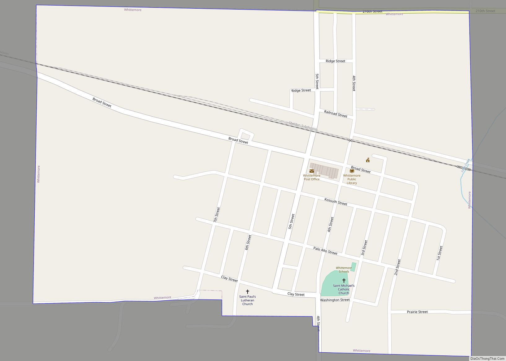
Whittemore is a city in Kossuth County, Iowa, United States. The population was 497 at the time of the 2020 census. Whittemore city overview: Name: Whittemore city LSAD Code: 25 LSAD Description: city (suffix) State: Iowa County: Kossuth County Elevation: 1,204 ft (367 m) Total Area: 0.41 sq mi (1.05 km²) Land Area: 0.41 sq mi (1.05 km²) Water Area: 0.00 sq mi (0.00 km²) Total ... Read more
Iowa Cities and Places
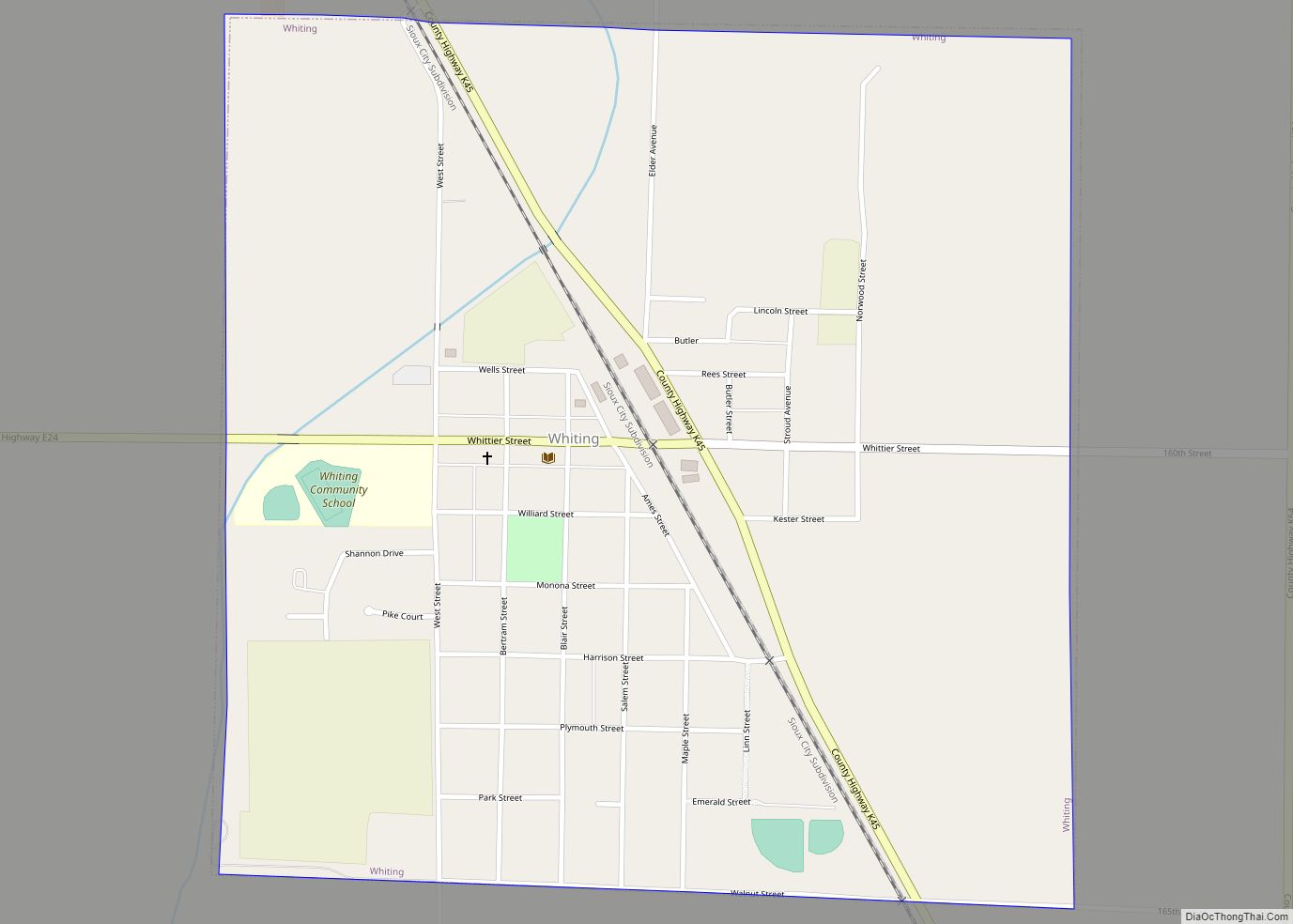
Whiting is a city in Monona County, Iowa, United States. The population was 745 at the time of the 2020 census. Whiting city overview: Name: Whiting city LSAD Code: 25 LSAD Description: city (suffix) State: Iowa County: Monona County Elevation: 1,060 ft (323 m) Total Area: 1.02 sq mi (2.63 km²) Land Area: 1.02 sq mi (2.63 km²) Water Area: 0.00 sq mi (0.00 km²) Total ... Read more
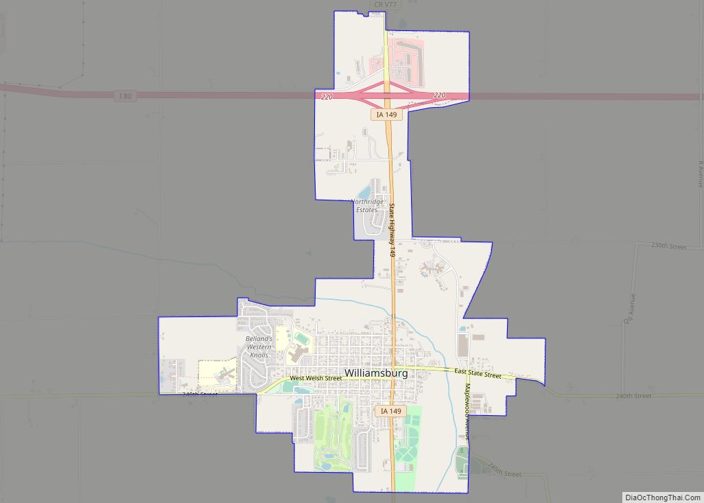
Williamsburg is a city in Iowa County, Iowa, United States. The population was 3,346 at the time of the 2020 census. Williamsburg is known for Holden’s Foundation Seeds, a foundation seed corn company, and Kinze Manufacturing, Inc., a farm implement manufacturer. Aviation pioneer Eugene Ely was born outside Williamsburg. Williamsburg city overview: Name: Williamsburg city ... Read more
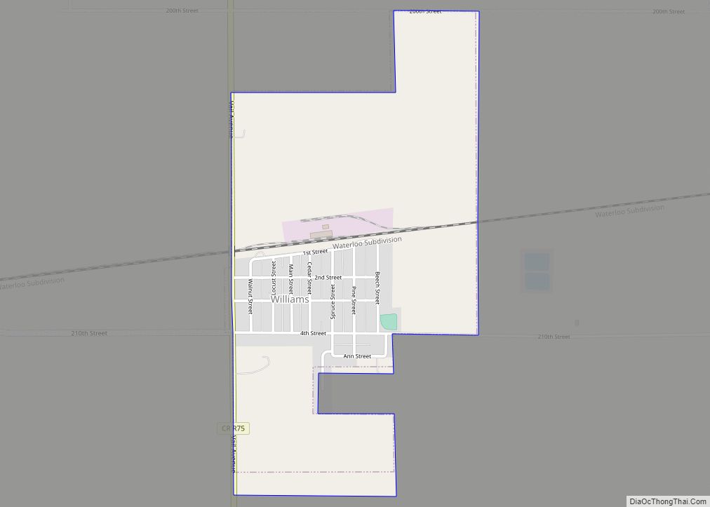
Williams is a city in Hamilton County, Iowa, United States. The population was 307 at the time of the 2020 census. Williams is a regional center of wind power generation. Williams city overview: Name: Williams city LSAD Code: 25 LSAD Description: city (suffix) State: Iowa County: Hamilton County Elevation: 1,217 ft (371 m) Total Area: 0.85 sq mi (2.20 km²) ... Read more
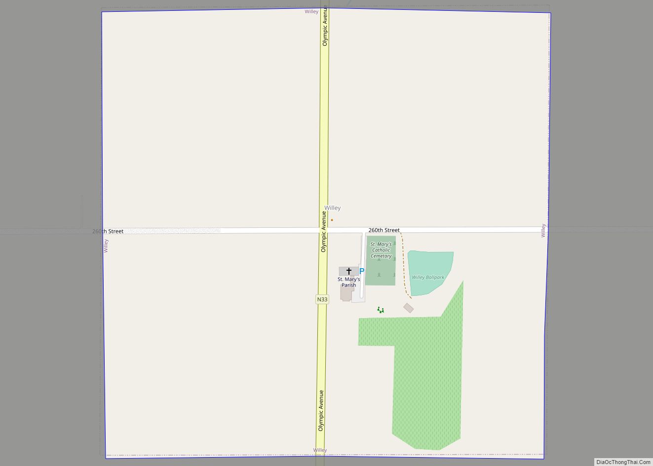
Willey is a city in Carroll County, Iowa, United States. The population was 73 at the time of the 2020 census. Willey city overview: Name: Willey city LSAD Code: 25 LSAD Description: city (suffix) State: Iowa County: Carroll County Elevation: 1,345 ft (410 m) Total Area: 0.25 sq mi (0.65 km²) Land Area: 0.25 sq mi (0.65 km²) Water Area: 0.00 sq mi (0.00 km²) Total ... Read more
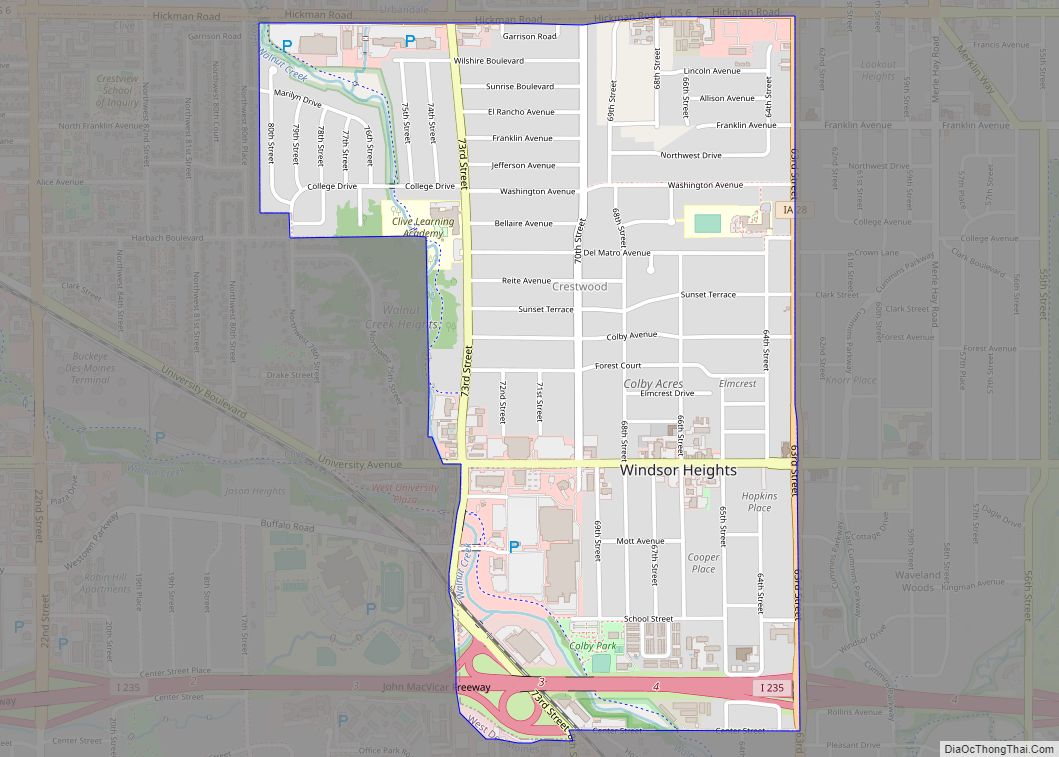
Windsor Heights is a city in Polk County, Iowa, United States. The population was 5,252 at the time of the 2020 census. It is part of the Des Moines–West Des Moines Metropolitan Statistical Area. Windsor Heights city overview: Name: Windsor Heights city LSAD Code: 25 LSAD Description: city (suffix) State: Iowa County: Polk County Incorporated: ... Read more
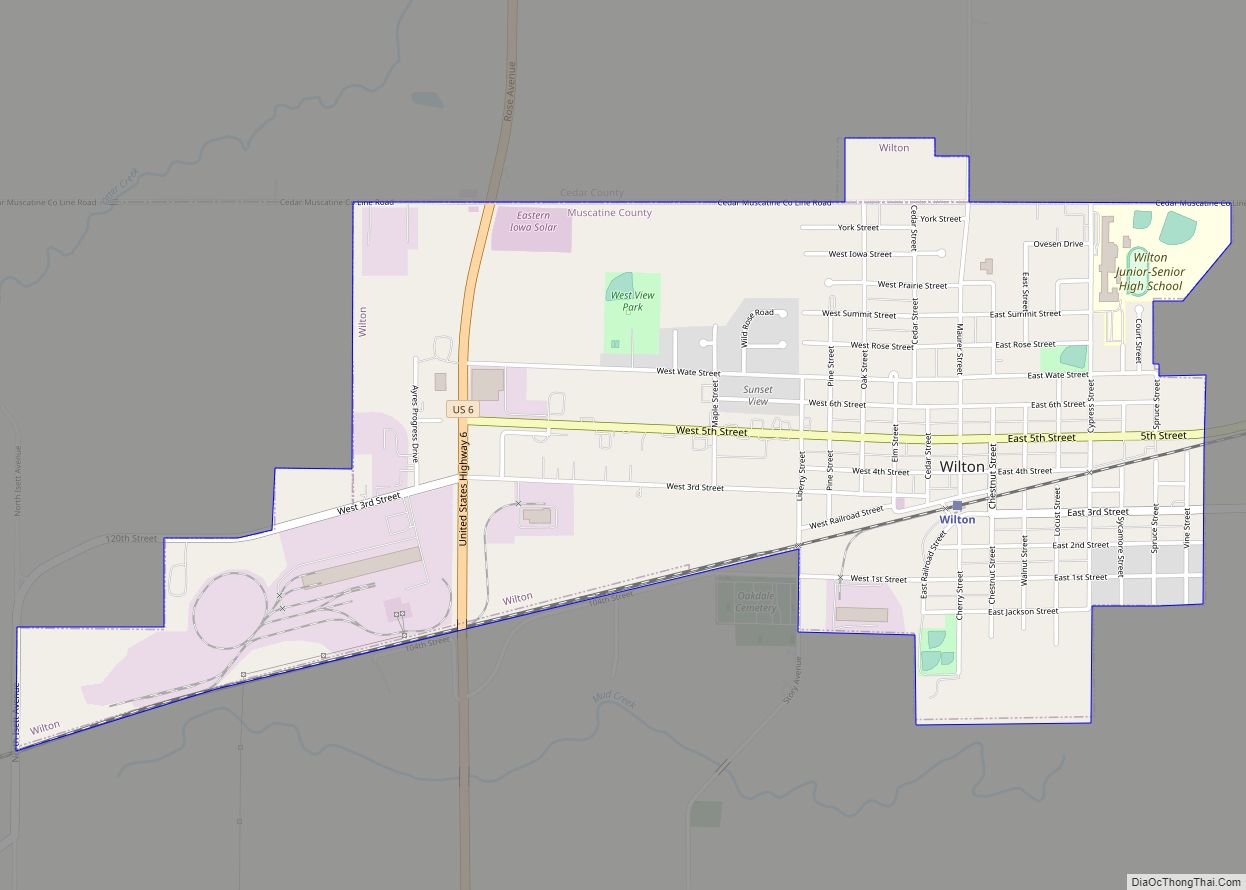
Wilton (formerly Wilton Junction) is a city in Cedar and Muscatine counties in the U.S. state of Iowa. The population was 2,924 at the time of the 2020 census. The Muscatine County portion of Wilton is part of the Muscatine Micropolitan Statistical Area. Wilton city overview: Name: Wilton city LSAD Code: 25 LSAD Description: city ... Read more
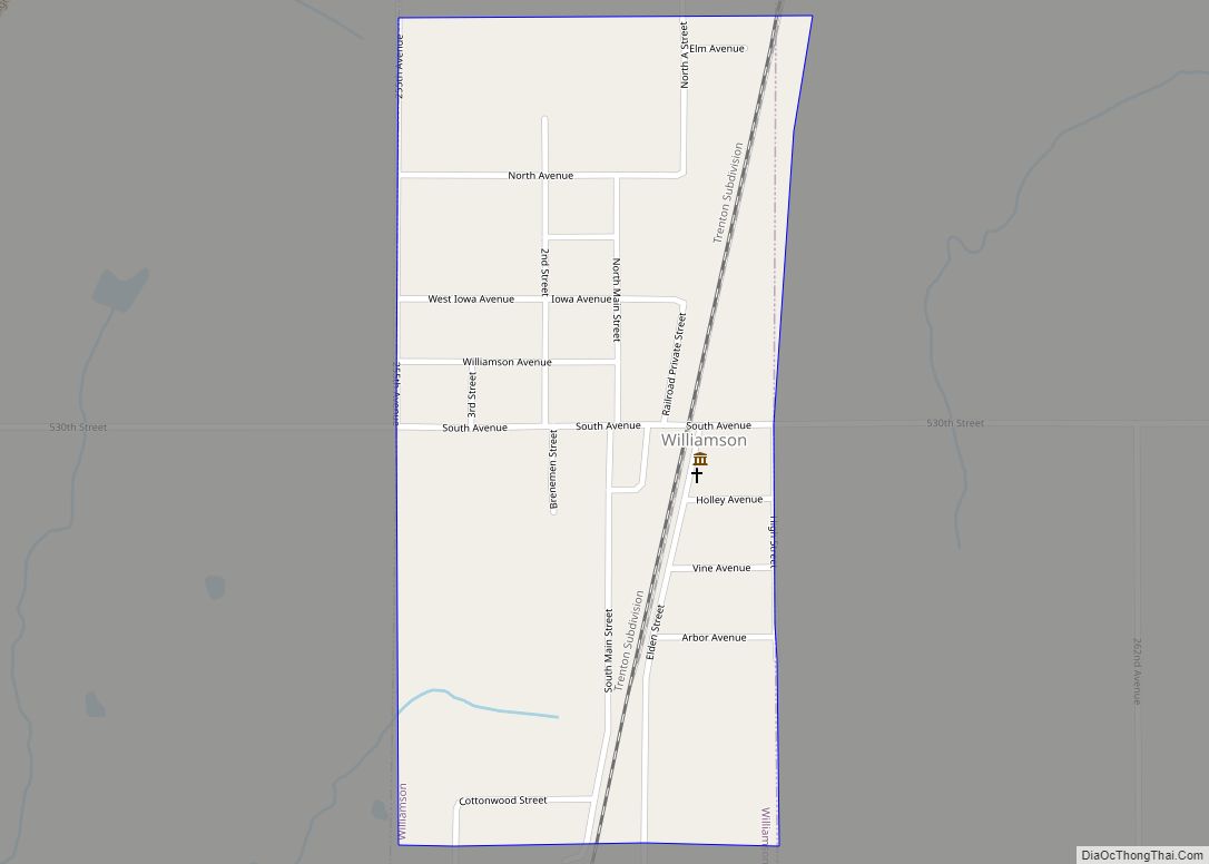
Williamson is a city in Lucas County, Iowa, United States. The population was 120 at the time of the 2020 census. Williamson city overview: Name: Williamson city LSAD Code: 25 LSAD Description: city (suffix) State: Iowa County: Lucas County Elevation: 1,024 ft (312 m) Total Area: 0.38 sq mi (0.99 km²) Land Area: 0.38 sq mi (0.99 km²) Water Area: 0.00 sq mi (0.00 km²) Total ... Read more
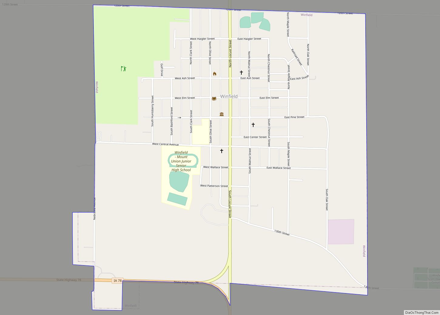
Winfield is a city in Henry County, Iowa, United States. The population was 1,033 at the time of the 2020 census. Winfield city overview: Name: Winfield city LSAD Code: 25 LSAD Description: city (suffix) State: Iowa County: Henry County Elevation: 686 ft (209 m) Total Area: 1.04 sq mi (2.70 km²) Land Area: 1.04 sq mi (2.70 km²) Water Area: 0.00 sq mi (0.00 km²) Total ... Read more
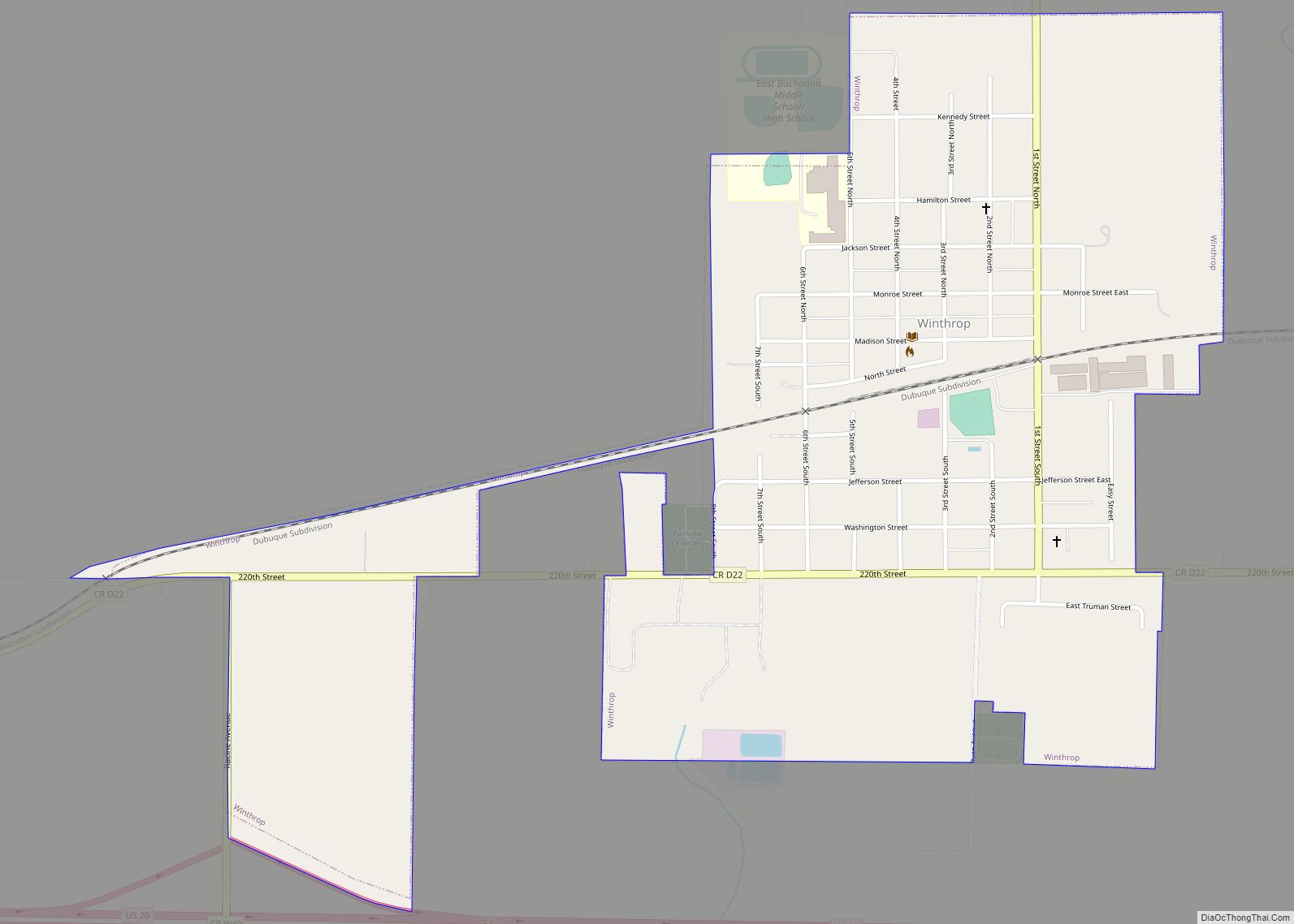
Winthrop is a city in Buchanan County, Iowa, United States. The population was 823 at the time of the 2020 census. Winthrop city overview: Name: Winthrop city LSAD Code: 25 LSAD Description: city (suffix) State: Iowa County: Buchanan County Elevation: 1,053 ft (321 m) Total Area: 0.79 sq mi (2.05 km²) Land Area: 0.79 sq mi (2.05 km²) Water Area: 0.00 sq mi (0.00 km²) Total ... Read more
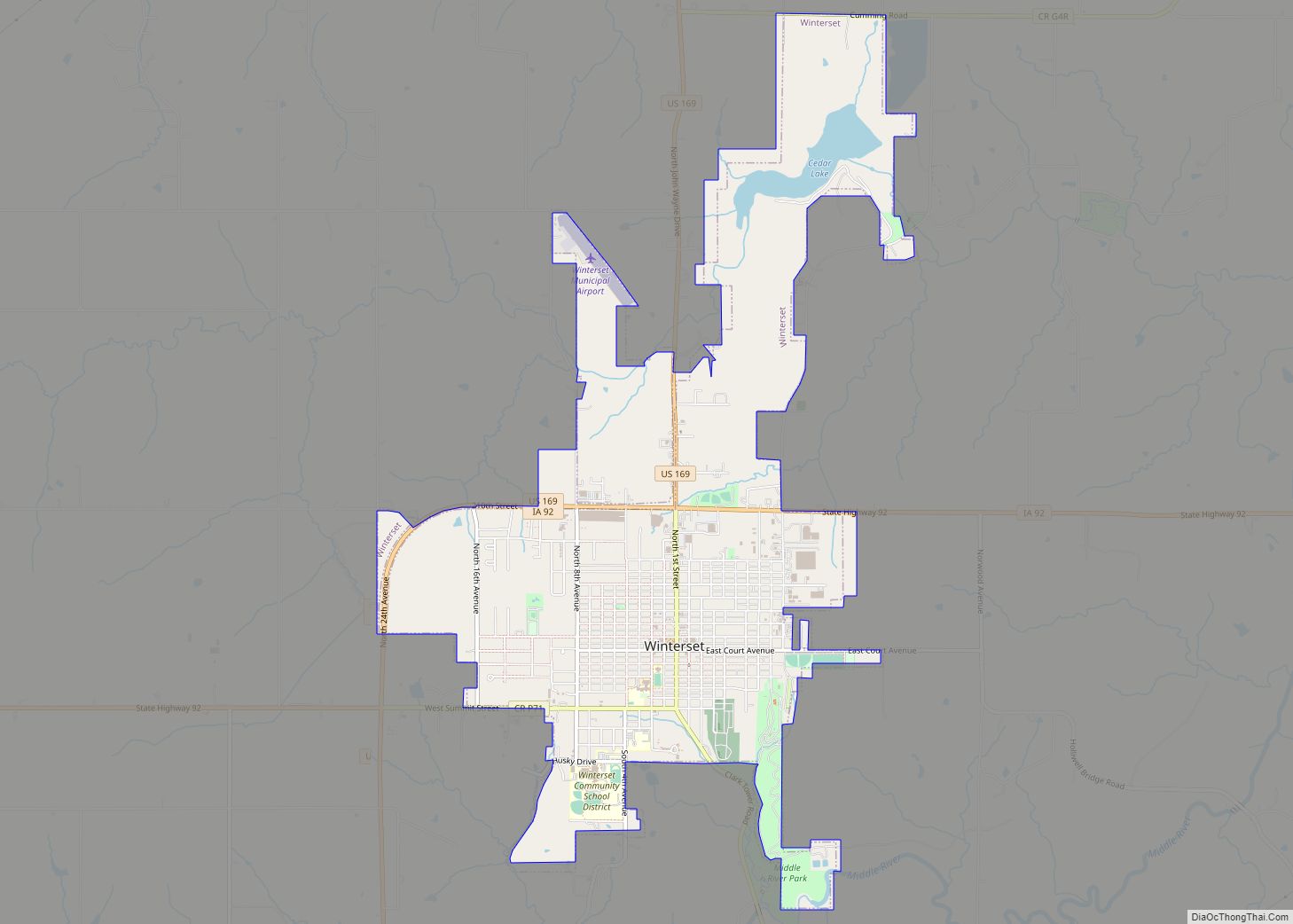
Winterset is a city in and the county seat of Madison County, Iowa. The population was 5,353 at the time of the 2020 census. Winterset is part of the Des Moines metropolitan area. It is the birthplace of actor John Wayne. Winterset city overview: Name: Winterset city LSAD Code: 25 LSAD Description: city (suffix) State: ... Read more
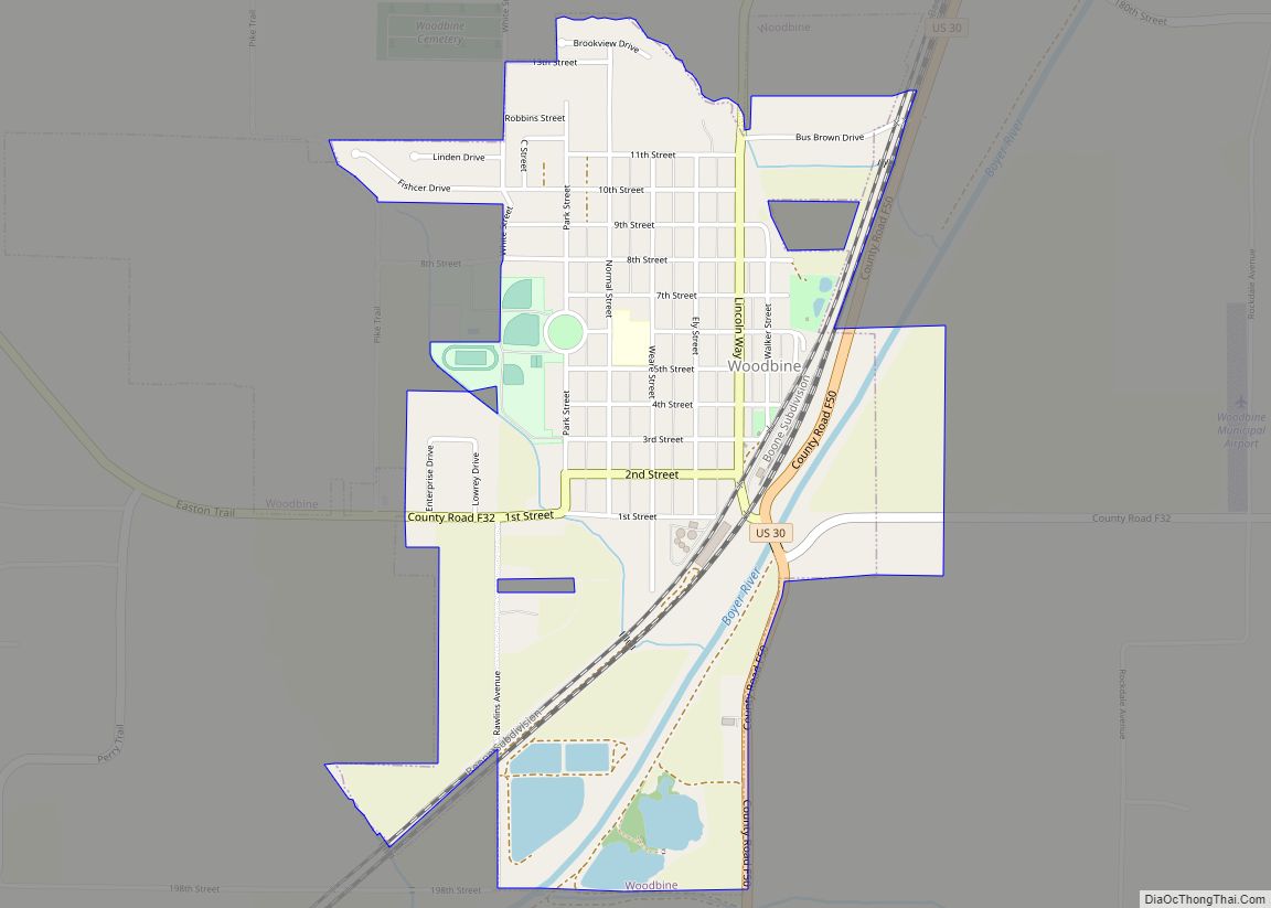
Woodbine is a city in Harrison County, Iowa, United States, along the Boyer River. The population was 1,625 at the time of the 2020 census. Woodbine city overview: Name: Woodbine city LSAD Code: 25 LSAD Description: city (suffix) State: Iowa County: Harrison County Elevation: 1,089 ft (332 m) Total Area: 1.31 sq mi (3.39 km²) Land Area: 1.26 sq mi (3.26 km²) Water ... Read more
