Williamsburg is a city in Iowa County, Iowa, United States. The population was 3,346 at the time of the 2020 census. Williamsburg is known for Holden’s Foundation Seeds, a foundation seed corn company, and Kinze Manufacturing, Inc., a farm implement manufacturer. Aviation pioneer Eugene Ely was born outside Williamsburg.
| Name: | Williamsburg city |
|---|---|
| LSAD Code: | 25 |
| LSAD Description: | city (suffix) |
| State: | Iowa |
| County: | Iowa County |
| Elevation: | 823 ft (251 m) |
| Total Area: | 3.38 sq mi (8.75 km²) |
| Land Area: | 3.37 sq mi (8.73 km²) |
| Water Area: | 0.01 sq mi (0.02 km²) |
| Total Population: | 3,346 |
| Population Density: | 992.88/sq mi (383.32/km²) |
| ZIP code: | 52361 |
| Area code: | 319 |
| FIPS code: | 1985845 |
| GNISfeature ID: | 0463064 |
| Website: | williamsburgiowa.gov |
Online Interactive Map
Click on ![]() to view map in "full screen" mode.
to view map in "full screen" mode.
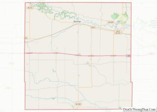
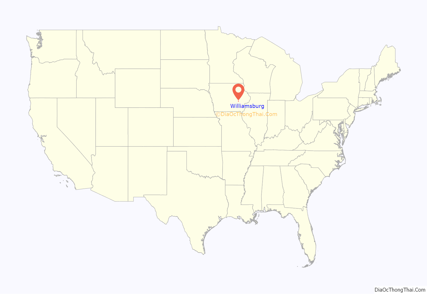
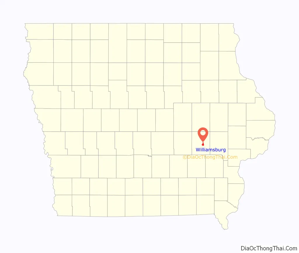
Williamsburg location map. Where is Williamsburg city?
History
Williamsburg was laid out in 1856. It was named for its founder, Richard Williams.
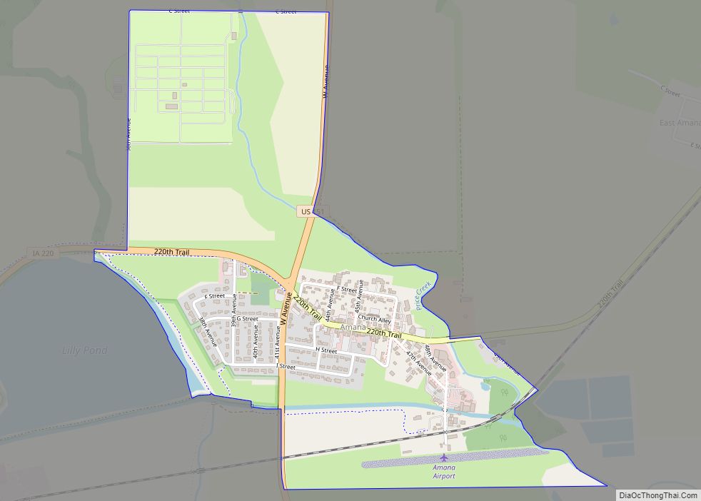
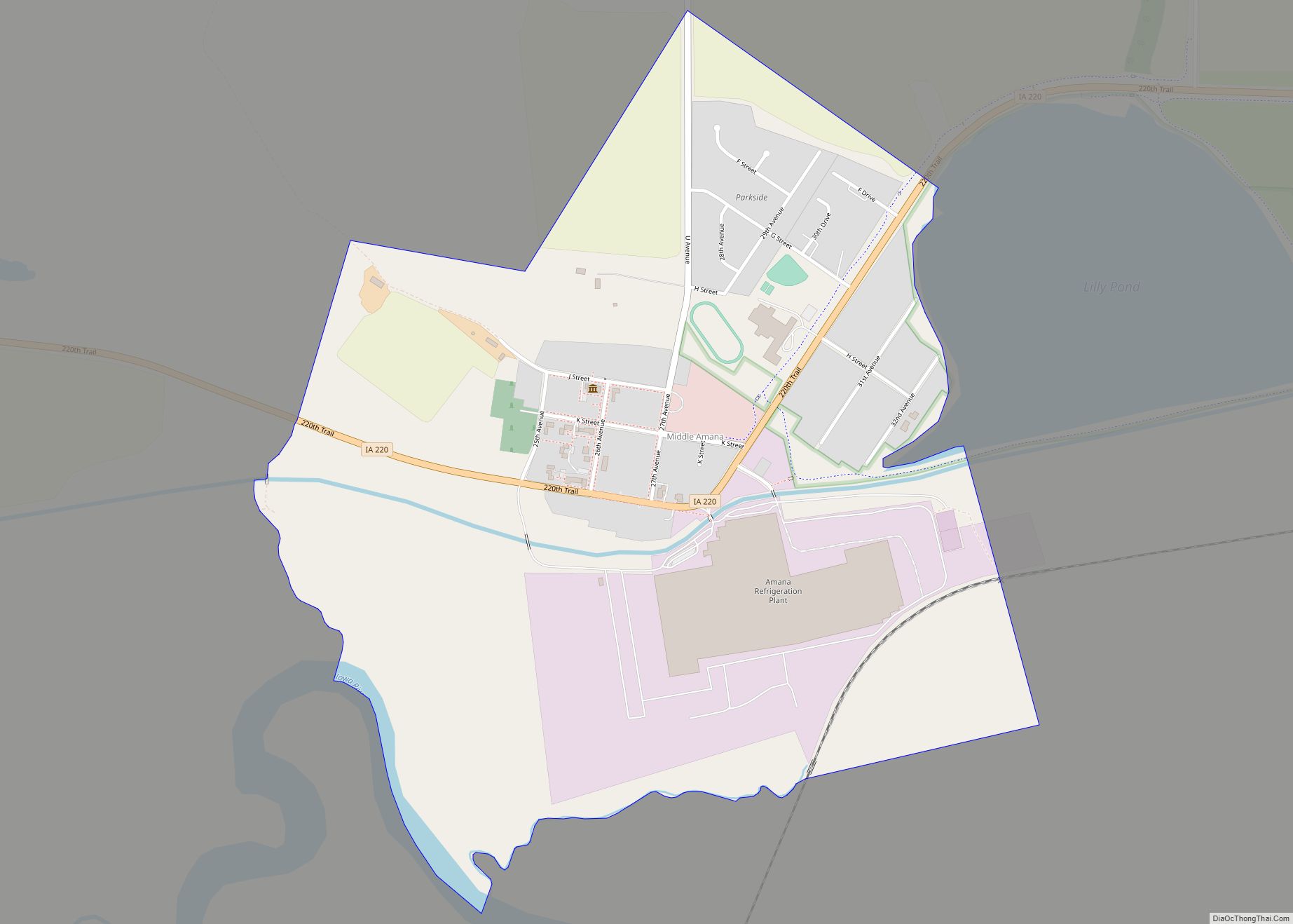
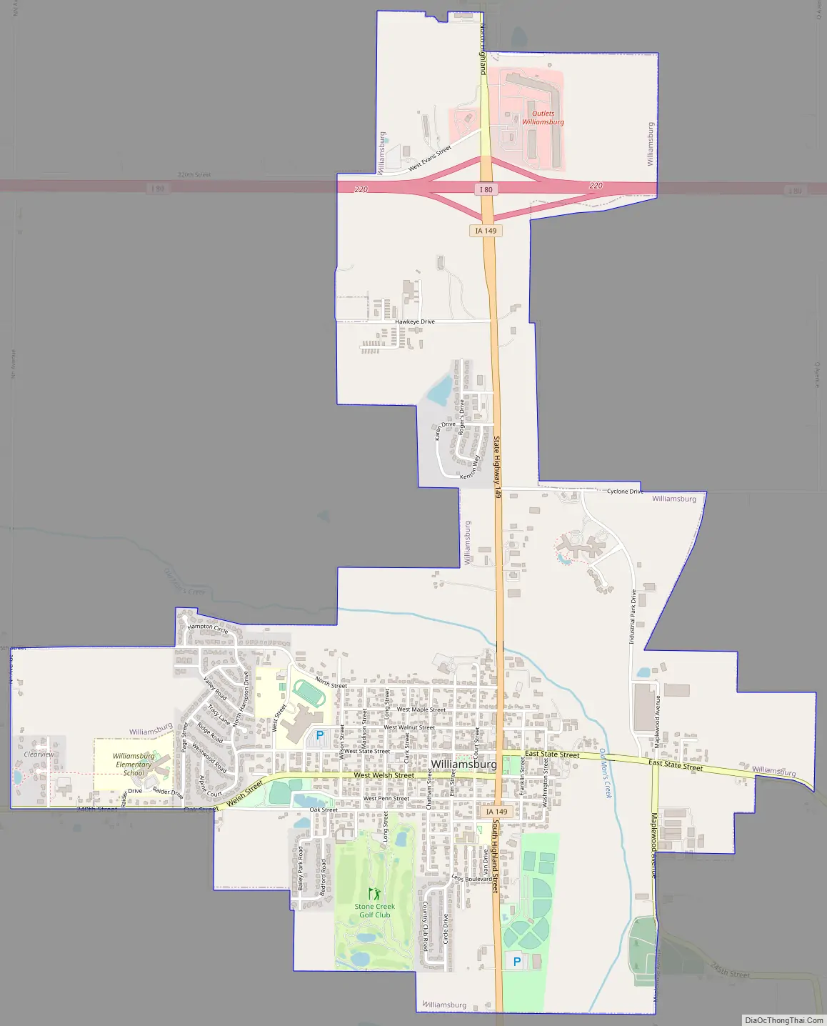
Williamsburg Road Map
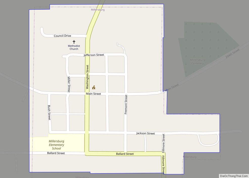
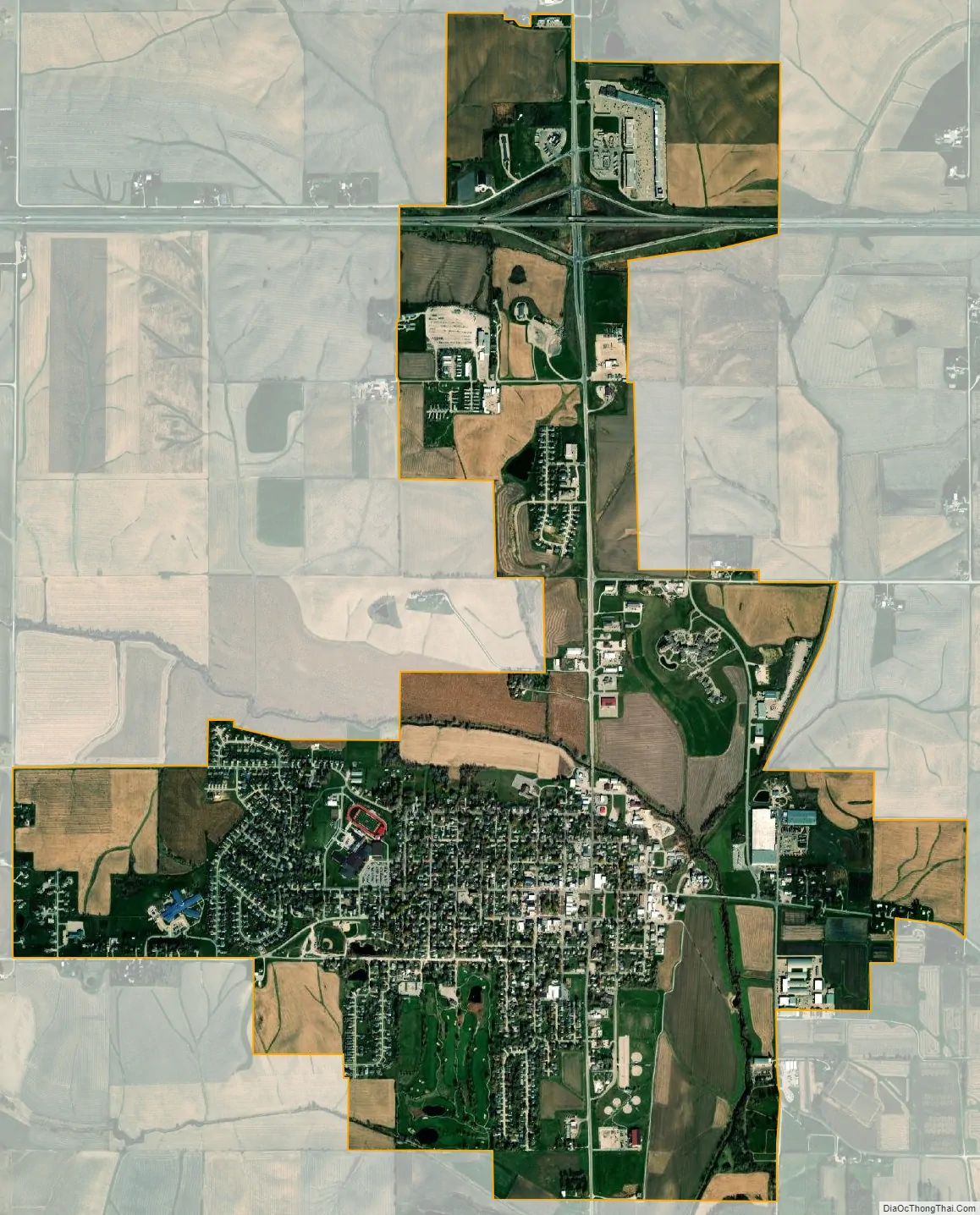
Williamsburg city Satellite Map
Geography
Williamsburg is located at 41°39′51″N 92°0′44″W / 41.66417°N 92.01222°W / 41.66417; -92.01222 (41.664281, -92.012334).
According to the United States Census Bureau, the city has a total area of 3.75 square miles (9.71 km), of which 3.74 square miles (9.69 km) is land and 0.01 square miles (0.03 km) is water.
See also
Map of Iowa State and its subdivision:- Adair
- Adams
- Allamakee
- Appanoose
- Audubon
- Benton
- Black Hawk
- Boone
- Bremer
- Buchanan
- Buena Vista
- Butler
- Calhoun
- Carroll
- Cass
- Cedar
- Cerro Gordo
- Cherokee
- Chickasaw
- Clarke
- Clay
- Clayton
- Clinton
- Crawford
- Dallas
- Davis
- Decatur
- Delaware
- Des Moines
- Dickinson
- Dubuque
- Emmet
- Fayette
- Floyd
- Franklin
- Fremont
- Greene
- Grundy
- Guthrie
- Hamilton
- Hancock
- Hardin
- Harrison
- Henry
- Howard
- Humboldt
- Ida
- Iowa
- Jackson
- Jasper
- Jefferson
- Johnson
- Jones
- Keokuk
- Kossuth
- Lee
- Linn
- Louisa
- Lucas
- Lyon
- Madison
- Mahaska
- Marion
- Marshall
- Mills
- Mitchell
- Monona
- Monroe
- Montgomery
- Muscatine
- O'Brien
- Osceola
- Page
- Palo Alto
- Plymouth
- Pocahontas
- Polk
- Pottawattamie
- Poweshiek
- Ringgold
- Sac
- Scott
- Shelby
- Sioux
- Story
- Tama
- Taylor
- Union
- Van Buren
- Wapello
- Warren
- Washington
- Wayne
- Webster
- Winnebago
- Winneshiek
- Woodbury
- Worth
- Wright
- Alabama
- Alaska
- Arizona
- Arkansas
- California
- Colorado
- Connecticut
- Delaware
- District of Columbia
- Florida
- Georgia
- Hawaii
- Idaho
- Illinois
- Indiana
- Iowa
- Kansas
- Kentucky
- Louisiana
- Maine
- Maryland
- Massachusetts
- Michigan
- Minnesota
- Mississippi
- Missouri
- Montana
- Nebraska
- Nevada
- New Hampshire
- New Jersey
- New Mexico
- New York
- North Carolina
- North Dakota
- Ohio
- Oklahoma
- Oregon
- Pennsylvania
- Rhode Island
- South Carolina
- South Dakota
- Tennessee
- Texas
- Utah
- Vermont
- Virginia
- Washington
- West Virginia
- Wisconsin
- Wyoming