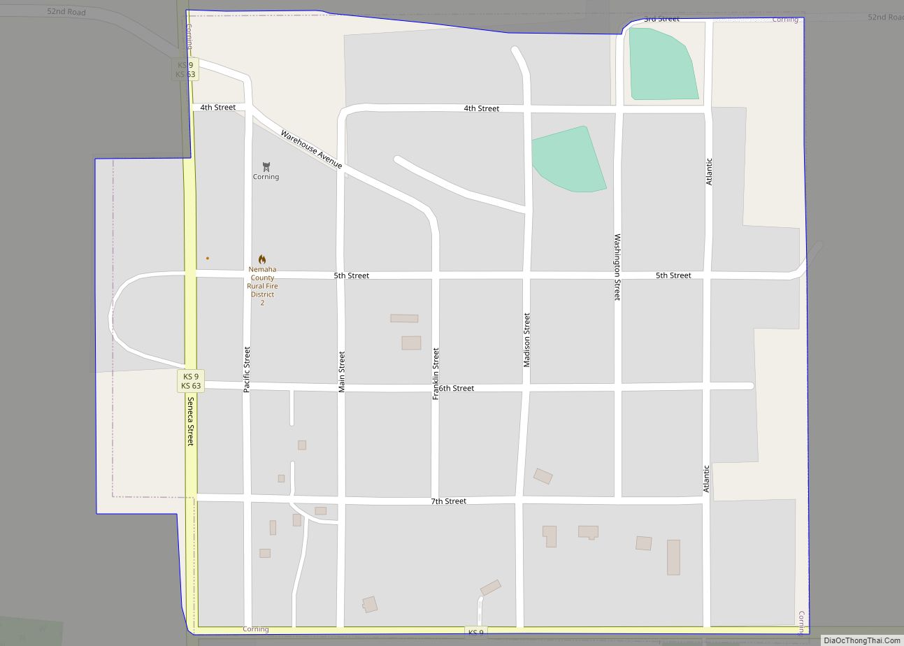
Corning is a city in Nemaha County, Kansas, United States. As of the 2020 census, the population of the city was 212. Corning city overview: Name: Corning city LSAD Code: 25 LSAD Description: city (suffix) State: Kansas County: Nemaha County Incorporated: 1889 Elevation: 1,342 ft (409 m) Total Area: 0.28 sq mi (0.71 km²) Land Area: 0.28 sq mi (0.71 km²) Water Area: ... Read more
Kansas Cities and Places
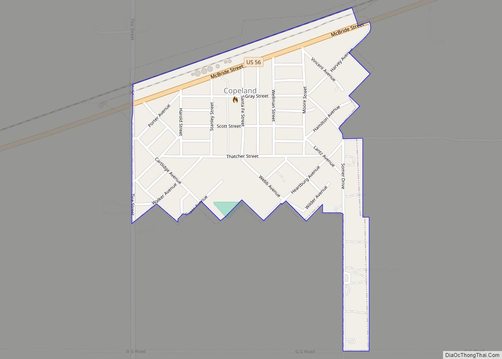
Copeland is a city in Gray County, Kansas, United States. As of the 2020 census, the population of the city was 251. Copeland city overview: Name: Copeland city LSAD Code: 25 LSAD Description: city (suffix) State: Kansas County: Gray County Founded: 1912 Incorporated: 1927 Elevation: 2,822 ft (860 m) Total Area: 0.23 sq mi (0.60 km²) Land Area: 0.23 sq mi (0.60 km²) ... Read more
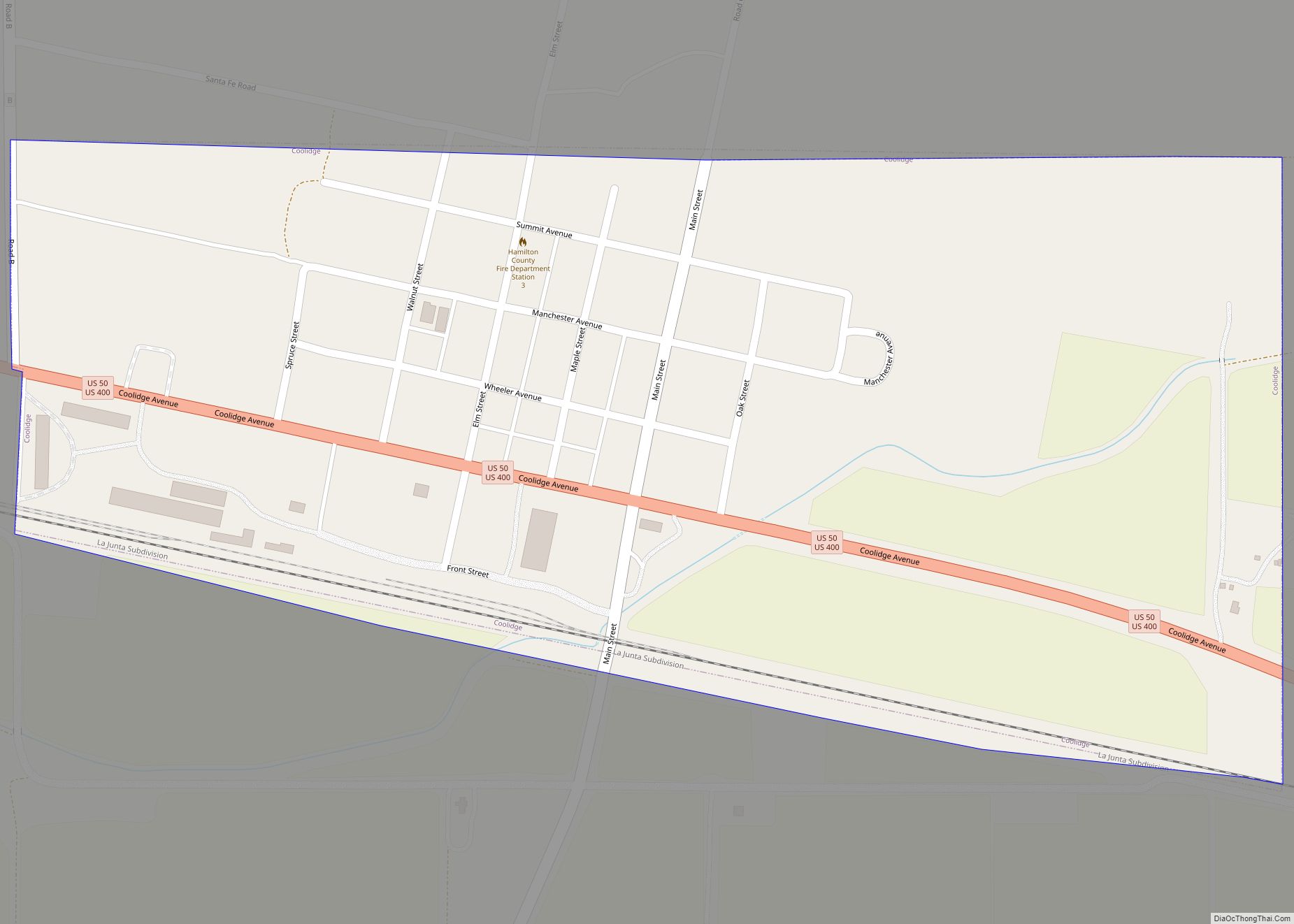
Coolidge is a city in Hamilton County, Kansas, United States. As of the 2020 census, the population of the city was 80. Coolidge city overview: Name: Coolidge city LSAD Code: 25 LSAD Description: city (suffix) State: Kansas County: Hamilton County Founded: 1880 Incorporated: 1886 Elevation: 3,356 ft (1,023 m) Total Area: 0.46 sq mi (1.20 km²) Land Area: 0.46 sq mi (1.20 km²) ... Read more
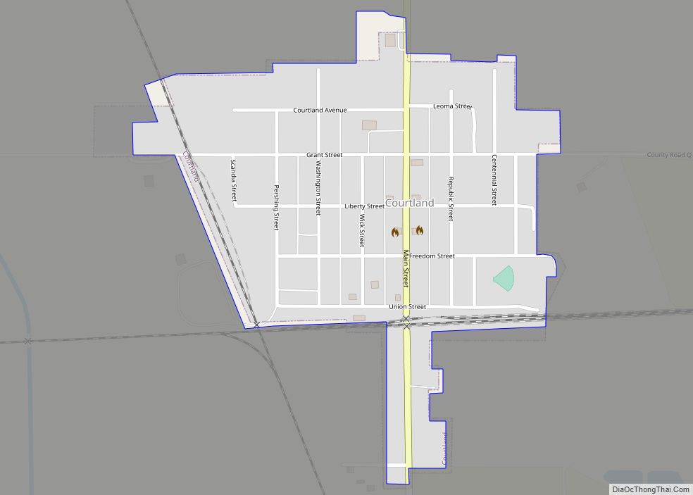
Courtland is a city in Republic County, Kansas, United States. As of the 2020 census, the population of the city was 294. Courtland city overview: Name: Courtland city LSAD Code: 25 LSAD Description: city (suffix) State: Kansas County: Republic County Founded: 1885 Incorporated: 1892 Elevation: 1,499 ft (457 m) Total Area: 0.27 sq mi (0.70 km²) Land Area: 0.27 sq mi (0.70 km²) ... Read more
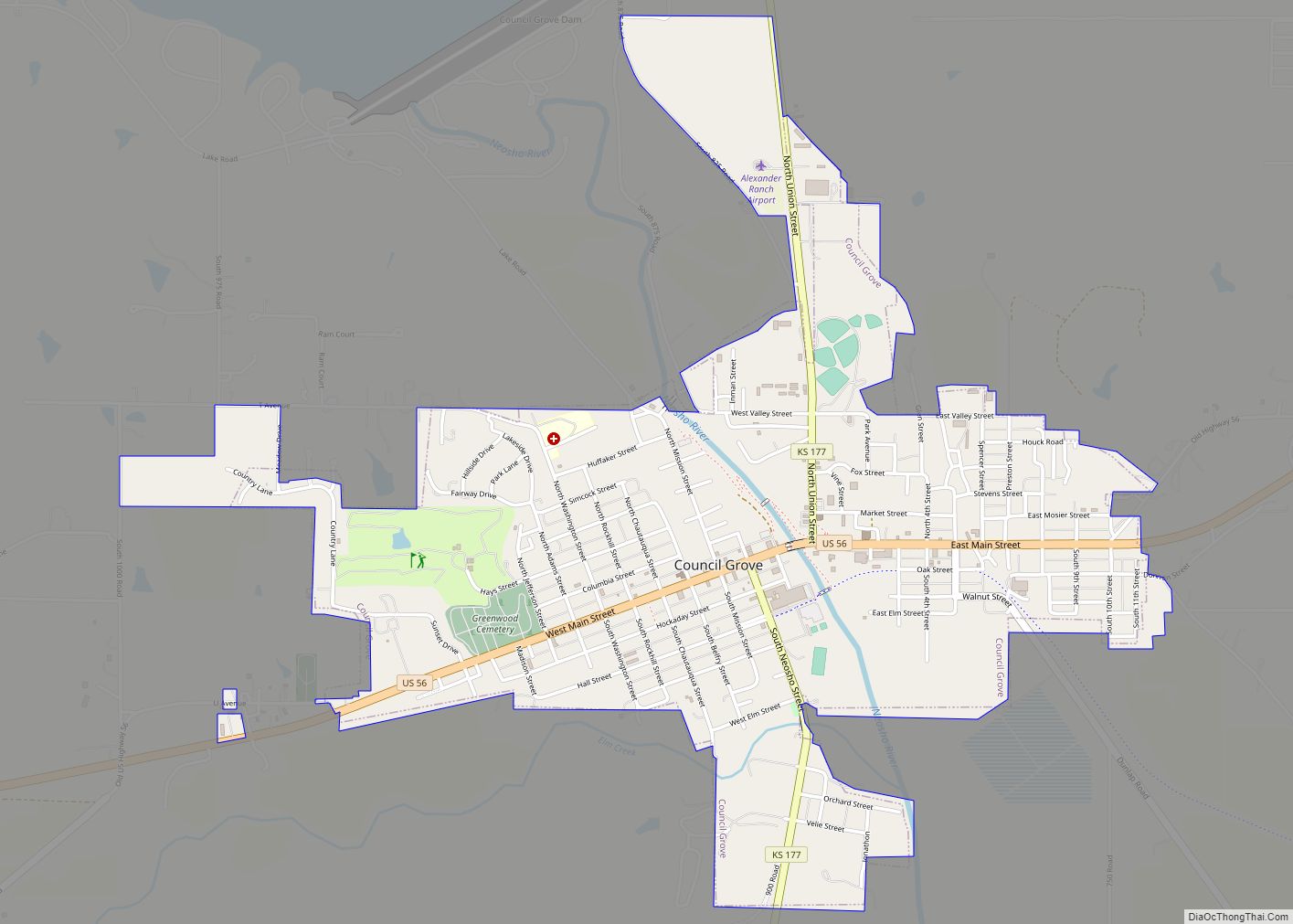
Council Grove is a city and county seat in Morris County, Kansas, United States. As of the 2020 census, the population of the city was 2,140. It was named after an agreement between American settlers and the Osage Nation allowing settlers’ wagon trains to pass westward through the area on the Santa Fe Trail. Pioneers ... Read more
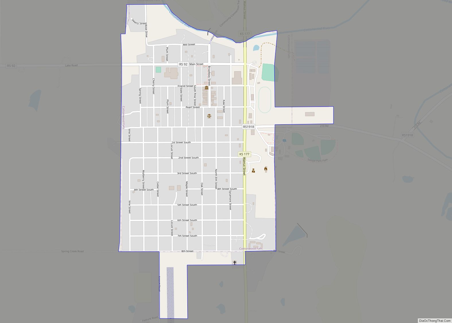
Cottonwood Falls is the largest city and county seat of Chase County, Kansas, United States. As of the 2020 census, the population of the city was 851. It is located south of Strong City along the south side of the Cottonwood River. Cottonwood Falls city overview: Name: Cottonwood Falls city LSAD Code: 25 LSAD Description: ... Read more
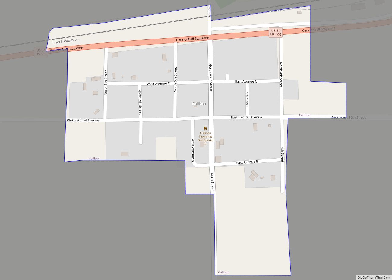
Cullison is a city in Pratt County, Kansas, United States. As of the 2020 census, the population of the city was 83. Cullison city overview: Name: Cullison city LSAD Code: 25 LSAD Description: city (suffix) State: Kansas County: Pratt County Founded: 1880s Incorporated: 1887 Elevation: 2,041 ft (622 m) Total Area: 0.17 sq mi (0.45 km²) Land Area: 0.17 sq mi (0.45 km²) ... Read more
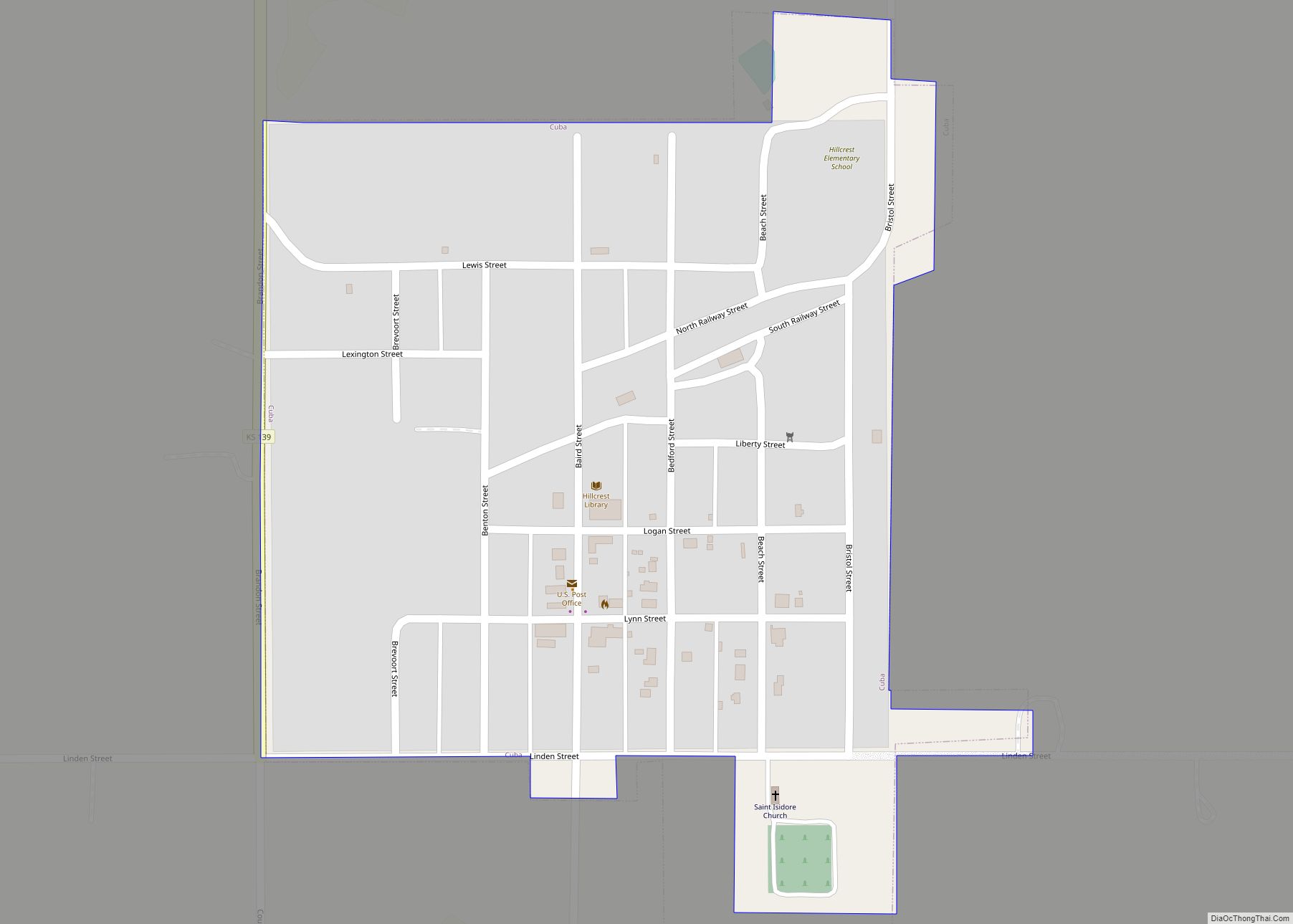
Cuba is a city in Republic County, Kansas, United States. As of the 2020 census, the population of the city was 140. Cuba city overview: Name: Cuba city LSAD Code: 25 LSAD Description: city (suffix) State: Kansas County: Republic County Founded: 1868 Incorporated: 1885 Elevation: 1,581 ft (482 m) Total Area: 0.29 sq mi (0.75 km²) Land Area: 0.29 sq mi (0.75 km²) ... Read more
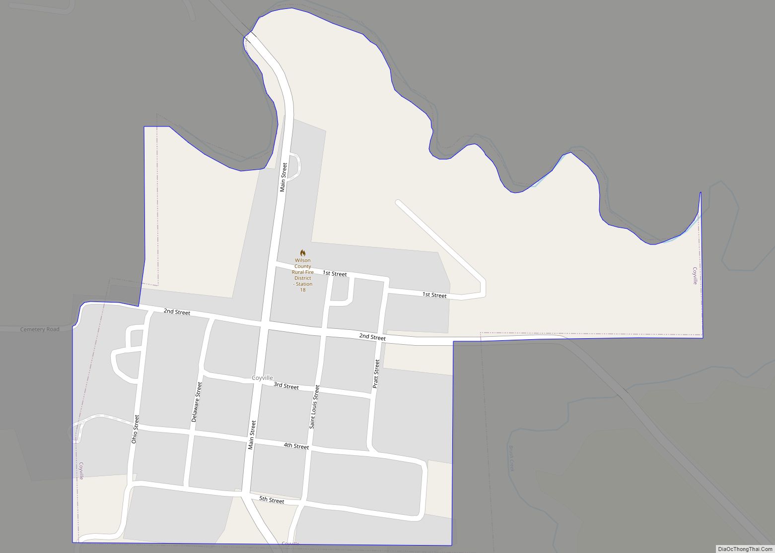
Coyville is a city in Wilson County, Kansas, United States. As of the 2020 census, the population of the city was 60. Coyville city overview: Name: Coyville city LSAD Code: 25 LSAD Description: city (suffix) State: Kansas County: Wilson County Incorporated: 1906 Elevation: 886 ft (270 m) Total Area: 0.27 sq mi (0.70 km²) Land Area: 0.27 sq mi (0.70 km²) Water Area: ... Read more
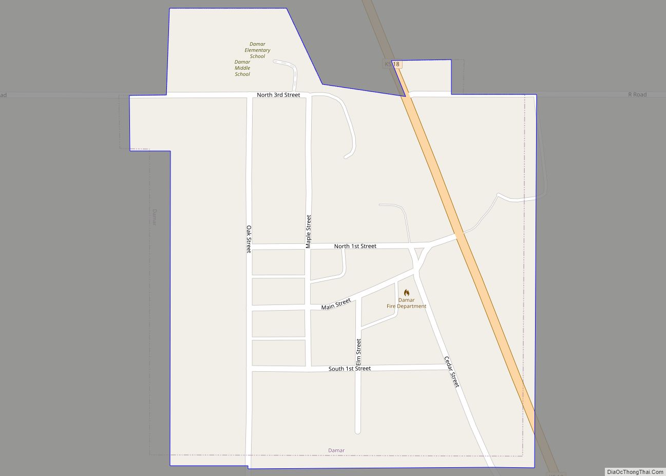
Damar is a city in Rooks County, Kansas, United States. As of the 2020 census, the population of the city was 112. Damar city overview: Name: Damar city LSAD Code: 25 LSAD Description: city (suffix) State: Kansas County: Rooks County Founded: 1888 Incorporated: 1935 Elevation: 2,106 ft (642 m) Total Area: 0.19 sq mi (0.49 km²) Land Area: 0.19 sq mi (0.49 km²) ... Read more
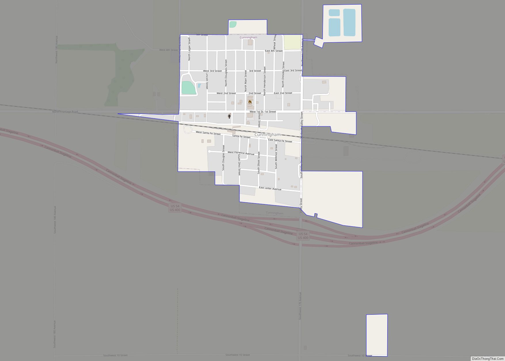
Cunningham is a city in Kingman County, Kansas, United States. As of the 2020 census, the population of the city was 444. The city was named in honor of J.D. Cunningham, a pioneer settler. Cunningham city overview: Name: Cunningham city LSAD Code: 25 LSAD Description: city (suffix) State: Kansas County: Kingman County Founded: 1880s Incorporated: ... Read more
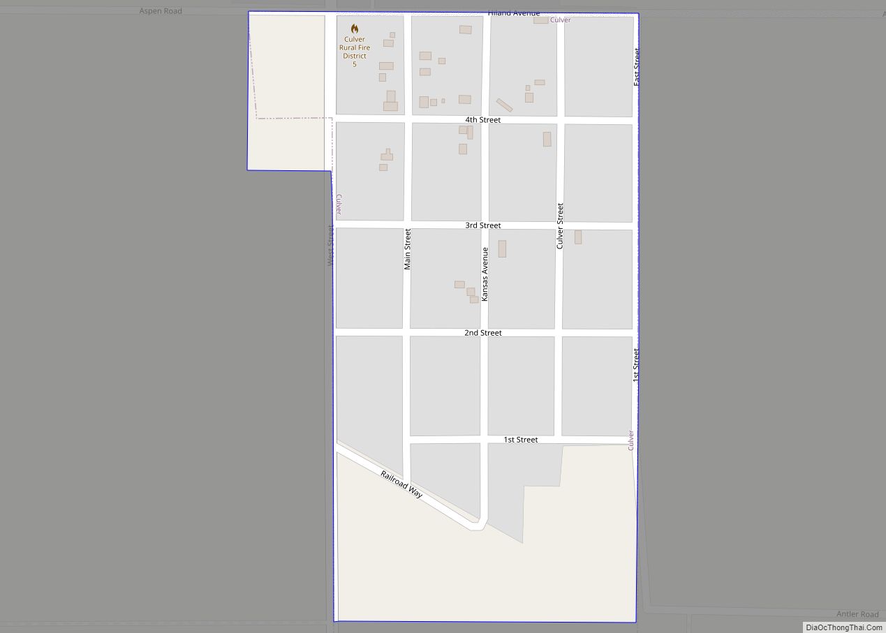
Culver is a city in Ottawa County, Kansas, United States. As of the 2020 census, the population of the city was 114. It is located northwest of Salina at the intersection of 90th Road and Aspen Road, next to an abandoned railroad. Culver city overview: Name: Culver city LSAD Code: 25 LSAD Description: city (suffix) ... Read more
