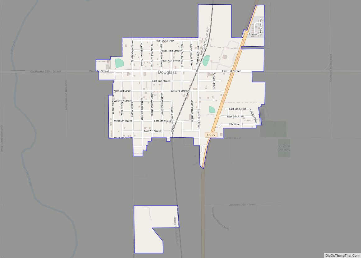
Douglass is a city in Butler County, Kansas, United States. As of the 2020 census, the population of the city was 1,555. Douglass city overview: Name: Douglass city LSAD Code: 25 LSAD Description: city (suffix) State: Kansas County: Butler County Founded: 1869 Incorporated: 1879 Elevation: 1,211 ft (369 m) Total Area: 1.06 sq mi (2.75 km²) Land Area: 1.06 sq mi (2.75 km²) ... Read more
Kansas Cities and Places
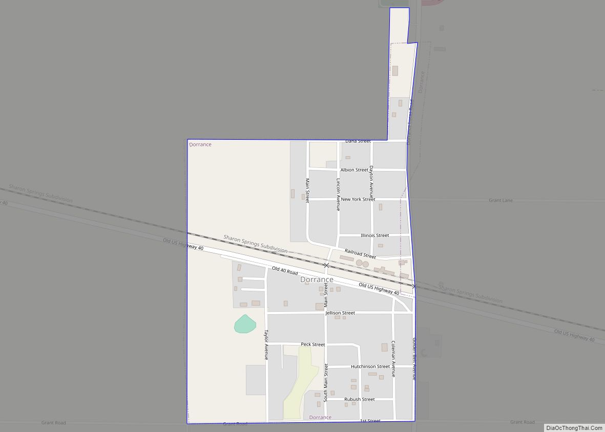
Dorrance is a city in Russell County, Kansas, United States. As of the 2020 census, the population of the city was 146. Dorrance city overview: Name: Dorrance city LSAD Code: 25 LSAD Description: city (suffix) State: Kansas County: Russell County Founded: 1860s Incorporated: 1910 Elevation: 1,732 ft (528 m) Total Area: 0.34 sq mi (0.88 km²) Land Area: 0.34 sq mi (0.88 km²) ... Read more
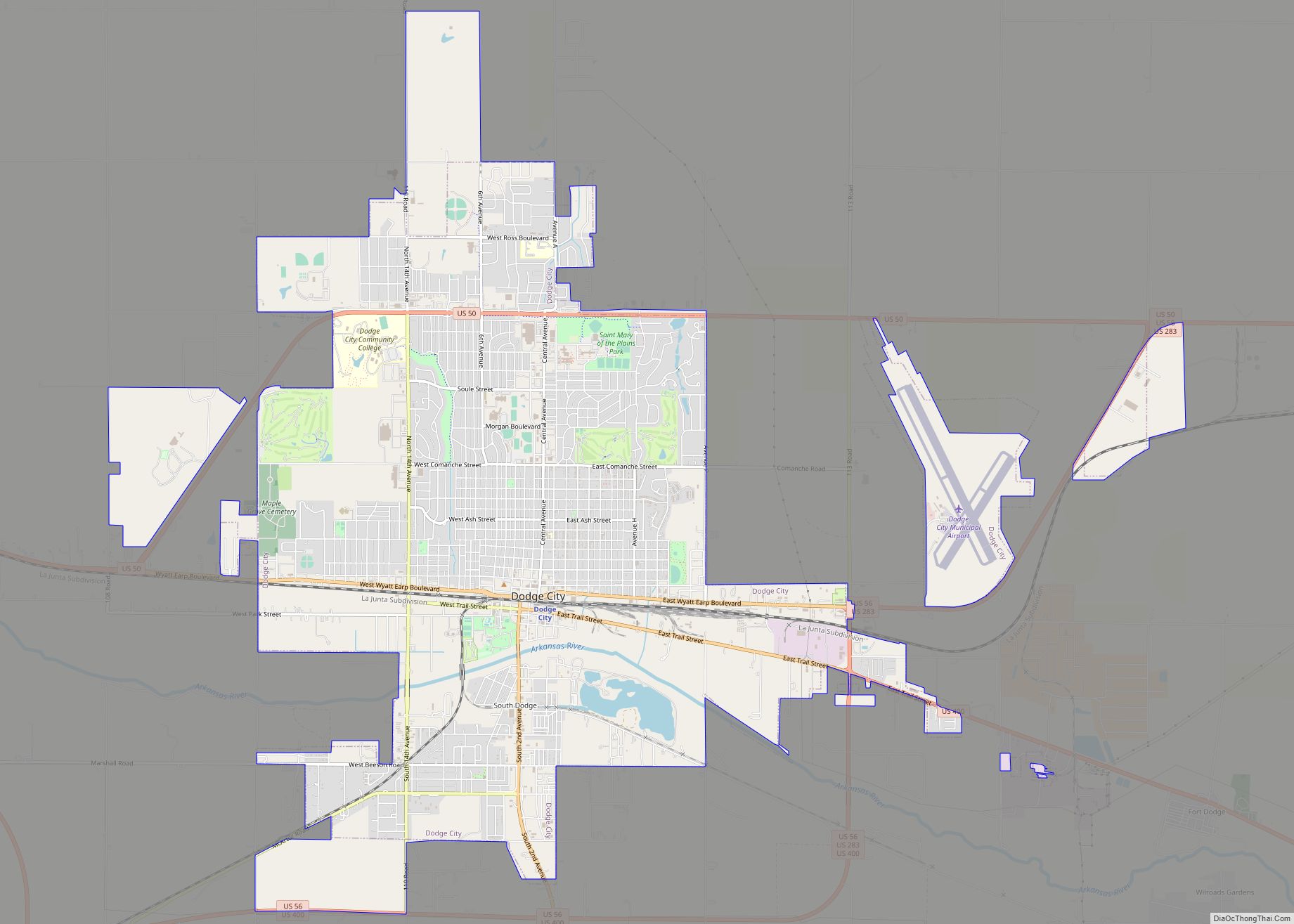
Dodge City is the county seat of Ford County, Kansas, United States, named after nearby Fort Dodge. As of the 2020 census, the population of the city was 27,788. The city is known in American culture for its history as a wild frontier town of the Old West. Dodge City city overview: Name: Dodge City ... Read more
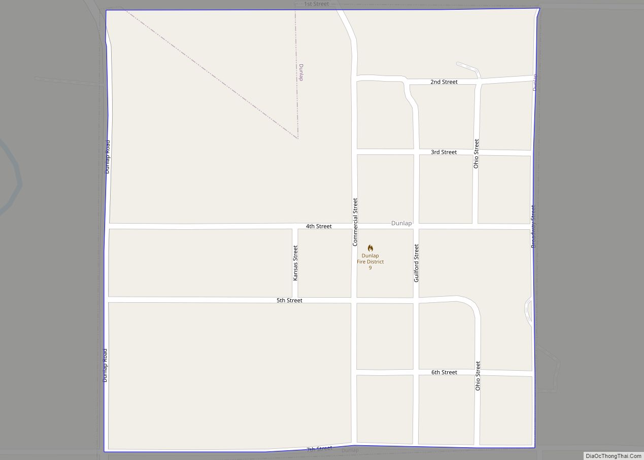
Dunlap is a city in Morris County, Kansas, United States. As of the 2020 census, the population of the city was 27. Dunlap city overview: Name: Dunlap city LSAD Code: 25 LSAD Description: city (suffix) State: Kansas County: Morris County Founded: 1870s Incorporated: 1887 Elevation: 1,188 ft (362 m) Total Area: 0.25 sq mi (0.64 km²) Land Area: 0.25 sq mi (0.64 km²) ... Read more
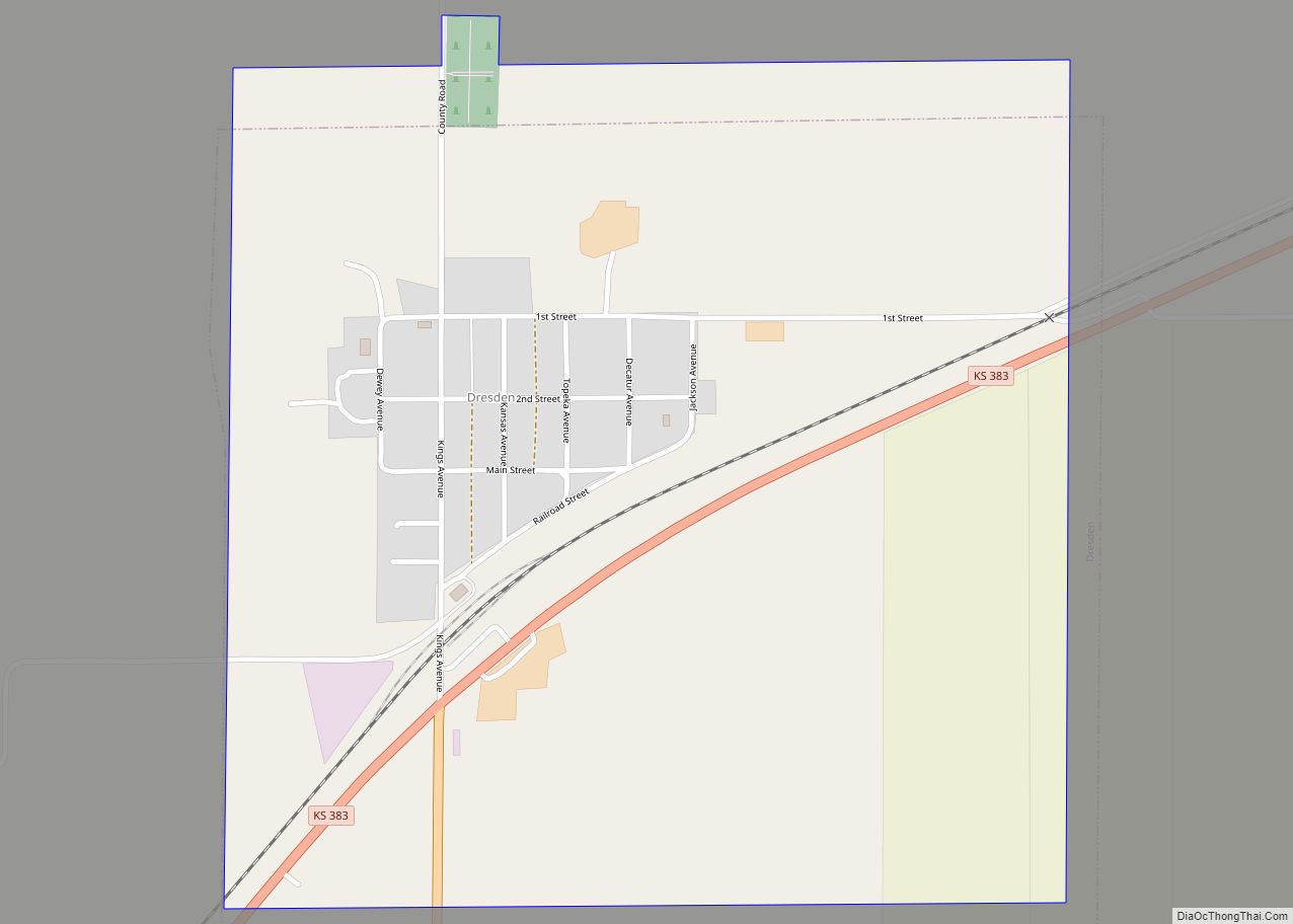
Dresden is a city in Decatur County, Kansas, United States. As of the 2020 census, the population of the city was 43. Dresden city overview: Name: Dresden city LSAD Code: 25 LSAD Description: city (suffix) State: Kansas County: Decatur County Founded: 1888 Incorporated: 1920 Elevation: 2,733 ft (833 m) Total Area: 0.90 sq mi (2.34 km²) Land Area: 0.90 sq mi (2.34 km²) ... Read more
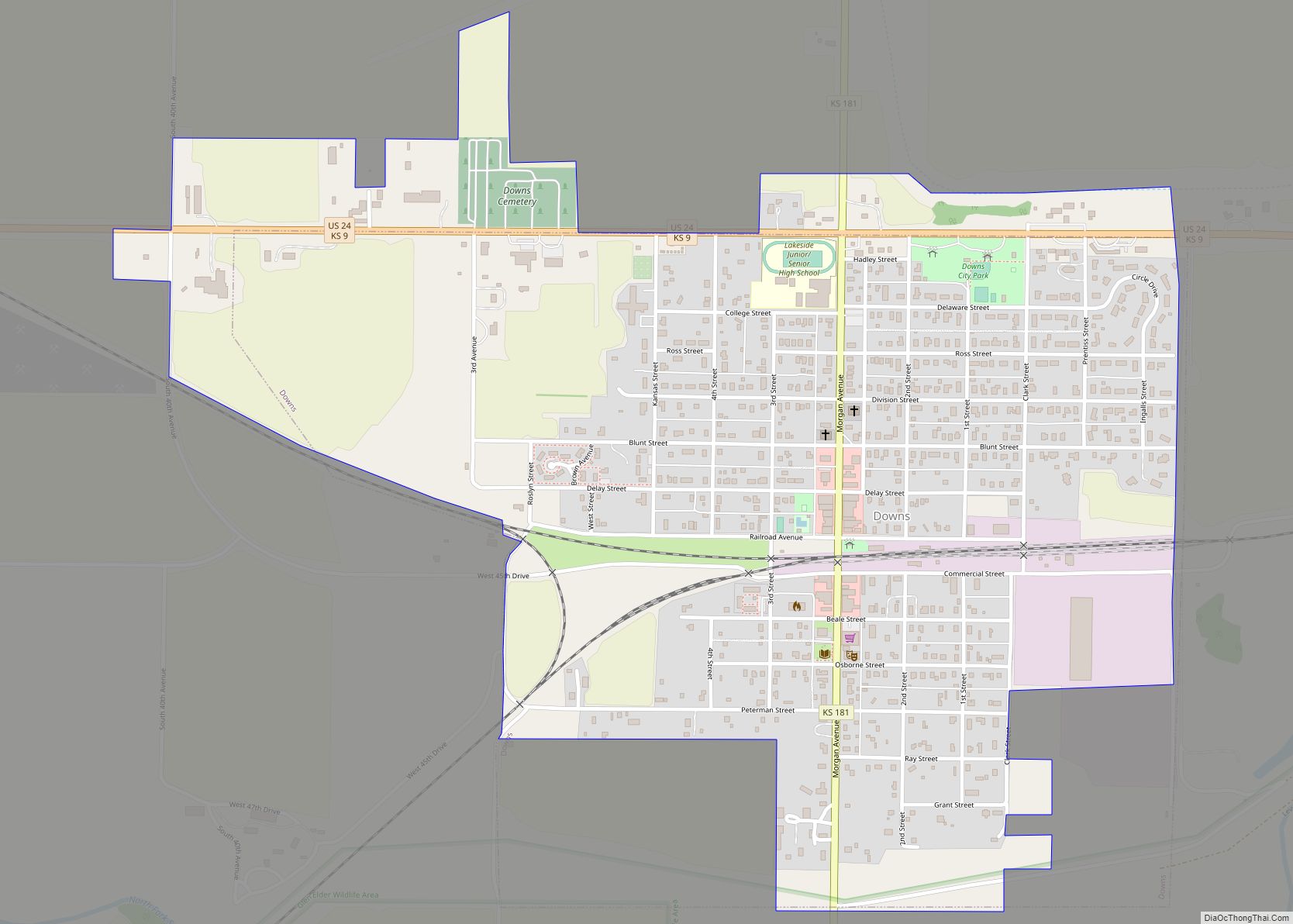
Downs is a city in Osborne County, Kansas, United States. As of the 2020 census, the population of the city was 800. Downs city overview: Name: Downs city LSAD Code: 25 LSAD Description: city (suffix) State: Kansas County: Osborne County Founded: 1879 Incorporated: 1879 Elevation: 1,483 ft (452 m) Total Area: 1.12 sq mi (2.90 km²) Land Area: 1.12 sq mi (2.90 km²) ... Read more
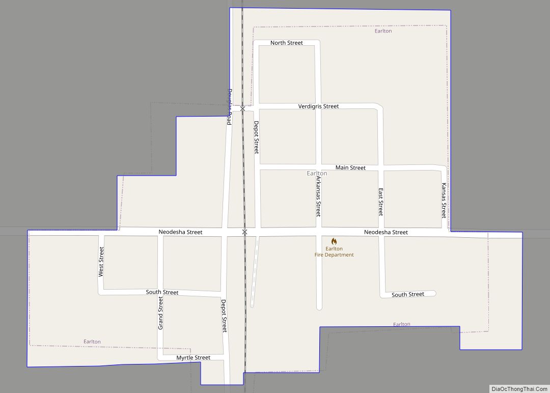
Earlton is a city in Neosho County, Kansas, United States. As of the 2020 census, the population of the city was 60. Earlton city overview: Name: Earlton city LSAD Code: 25 LSAD Description: city (suffix) State: Kansas County: Neosho County Founded: 1870 Incorporated: 1912 Elevation: 961 ft (293 m) Total Area: 0.16 sq mi (0.41 km²) Land Area: 0.16 sq mi (0.41 km²) ... Read more
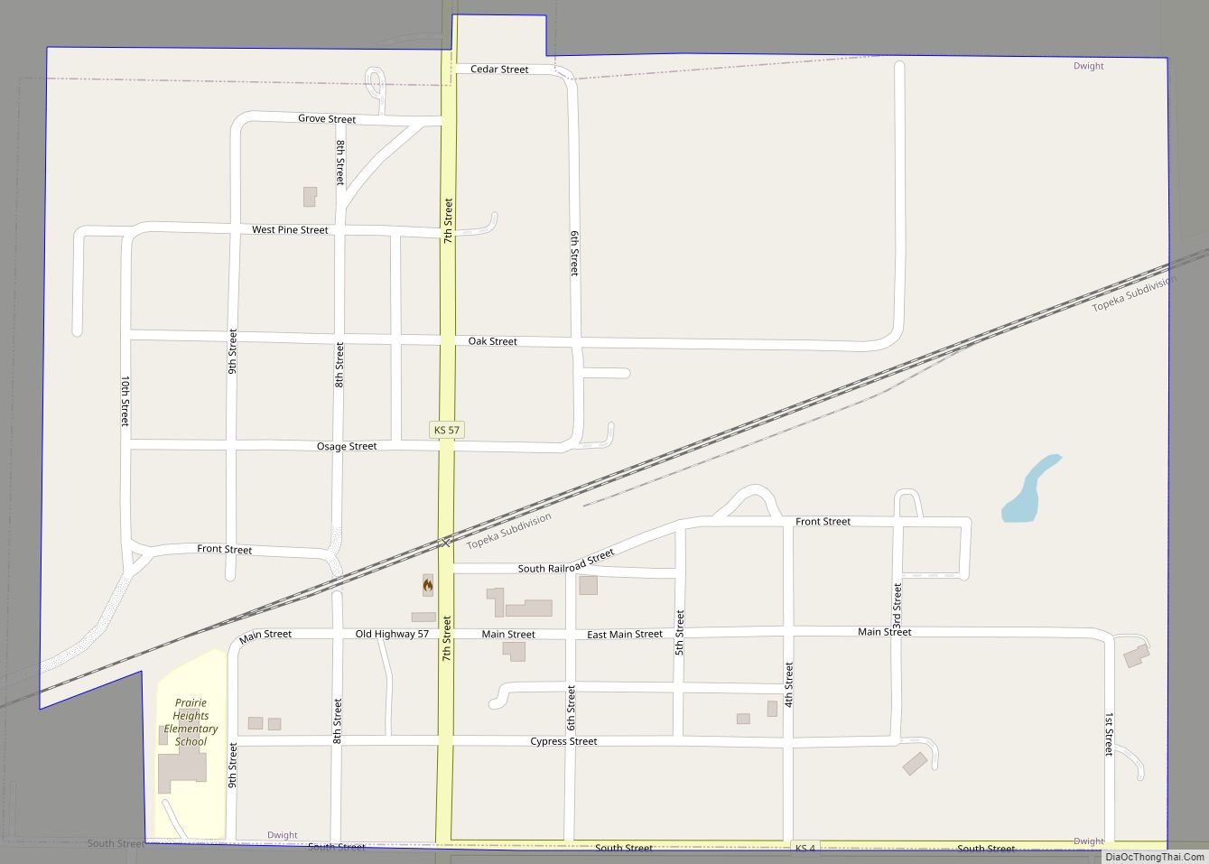
Dwight is a city in Morris County, Kansas, United States. As of the 2020 census, the population of the city was 217. Dwight city overview: Name: Dwight city LSAD Code: 25 LSAD Description: city (suffix) State: Kansas County: Morris County Founded: 1887 Incorporated: 1905 Elevation: 1,503 ft (458 m) Total Area: 0.36 sq mi (0.94 km²) Land Area: 0.36 sq mi (0.94 km²) ... Read more
Durham is a city in Marion County, Kansas, United States. As of the 2020 census, the population of the city was 89. The city took its name from Durham cattle. It is located about 8.5 miles north of Hillsboro on the west side of K-15 highway next to a railroad. Durham city overview: Name: Durham ... Read more
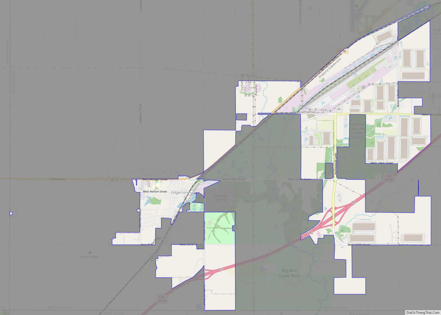
Edgerton is a city in Johnson County, Kansas, United States, and part of the Kansas City metropolitan area. As of the 2020 census, the population of the city was 1,748. It is home to a large BNSF intermodal train facility named Logistics Park Kansas City. Edgerton city overview: Name: Edgerton city LSAD Code: 25 LSAD ... Read more
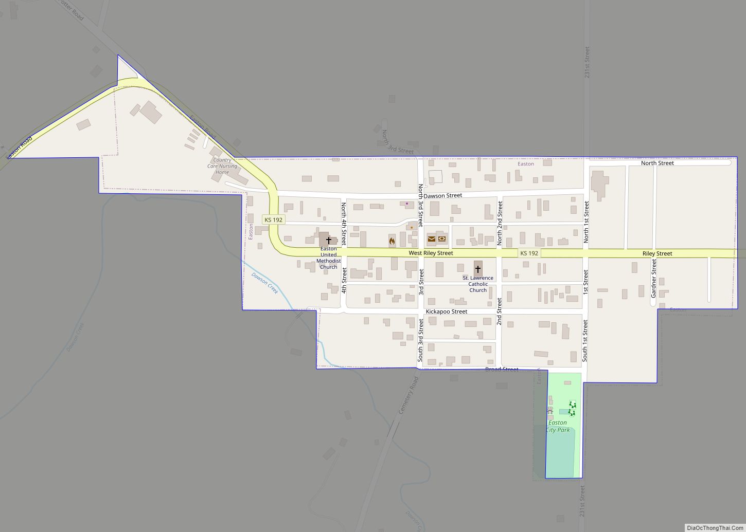
Easton is a city in Leavenworth County, Kansas, United States, and part of the Kansas City metropolitan area. As of the 2020 census, the population of the city was 213. Easton city overview: Name: Easton city LSAD Code: 25 LSAD Description: city (suffix) State: Kansas County: Leavenworth County Founded: 1850s Incorporated: 1903 Elevation: 906 ft (276 m) ... Read more
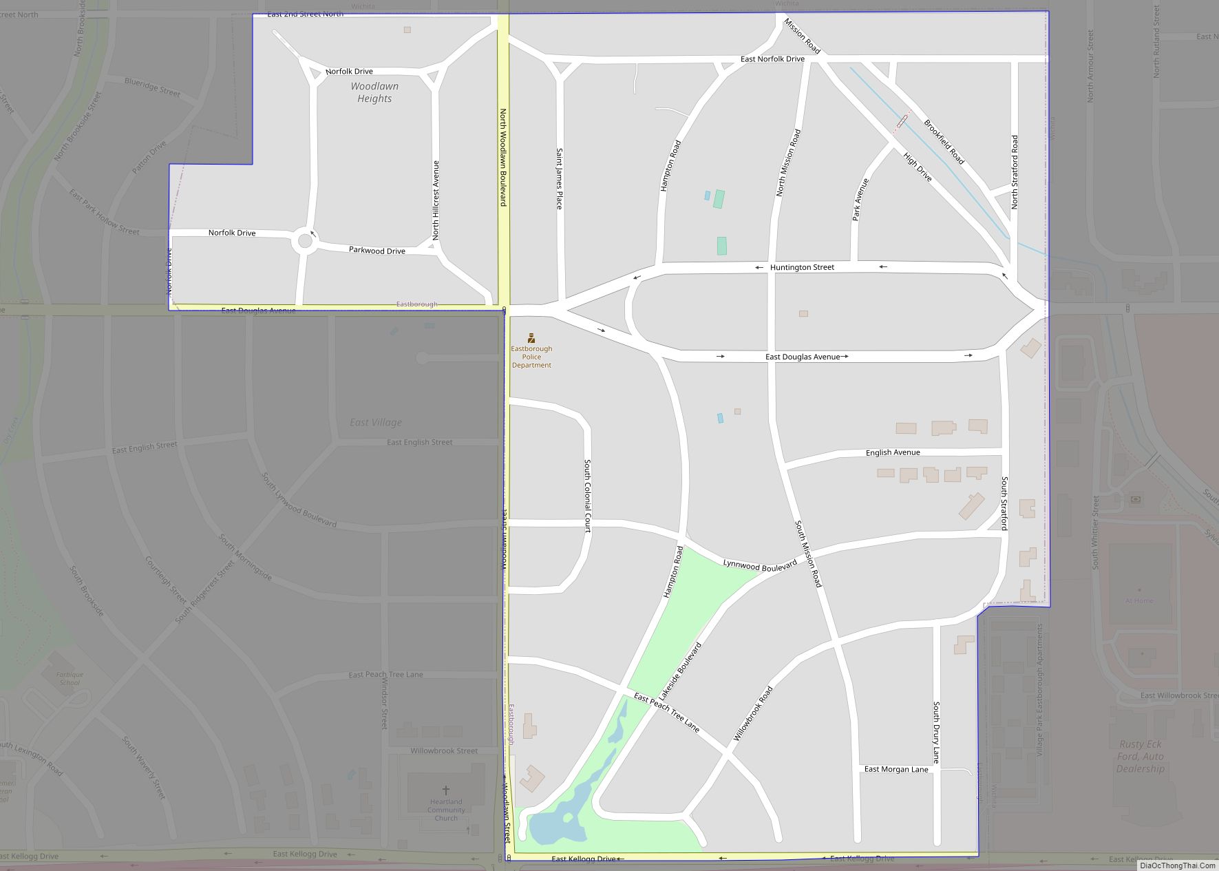
Eastborough is a city in Sedgwick County, Kansas, United States, and an enclave of the city of Wichita. As of the 2020 census, the population of the city was 756. Eastborough city overview: Name: Eastborough city LSAD Code: 25 LSAD Description: city (suffix) State: Kansas County: Sedgwick County Founded: 1929 Incorporated: 1937 Elevation: 1,371 ft (418 m) ... Read more
