Allen is a city in Lyon County, Kansas, United States. As of the 2020 census, the population of the city was 160. Allen city overview: Name: Allen city LSAD Code: 25 LSAD Description: city (suffix) State: Kansas County: Lyon County Founded: 1854 Incorporated: 1909 Elevation: 1,326 ft (404 m) Total Area: 0.28 sq mi (0.72 km²) Land Area: 0.28 sq mi (0.72 km²) ... Read more
Kansas Cities and Places
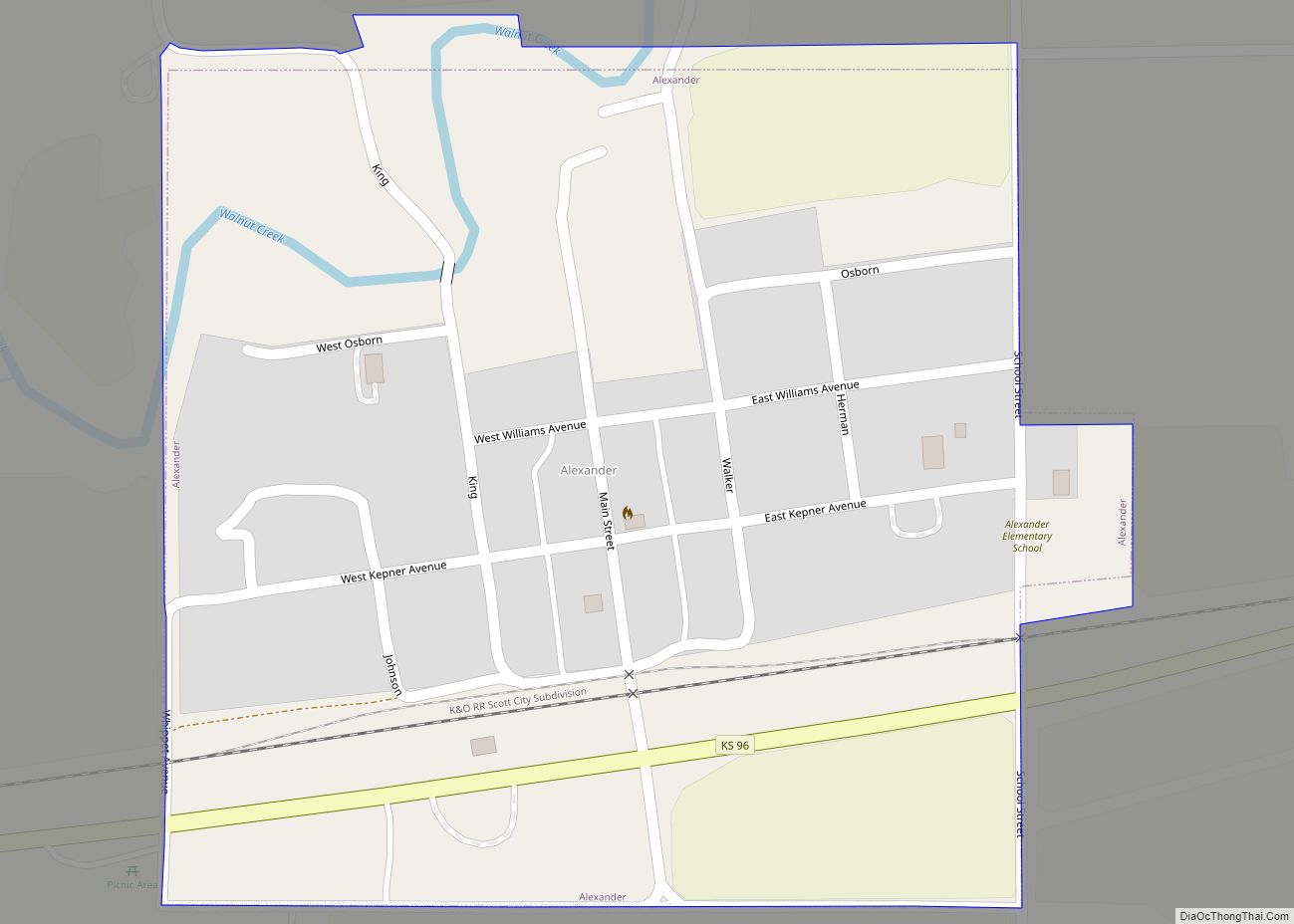
Alexander is a city in Rush County, Kansas, United States. As of the 2020 census, the population of the city was 54. Alexander city overview: Name: Alexander city LSAD Code: 25 LSAD Description: city (suffix) State: Kansas County: Rush County Founded: 1869 Incorporated: 1926 Elevation: 2,077 ft (633 m) Total Area: 0.26 sq mi (0.67 km²) Land Area: 0.26 sq mi (0.67 km²) ... Read more
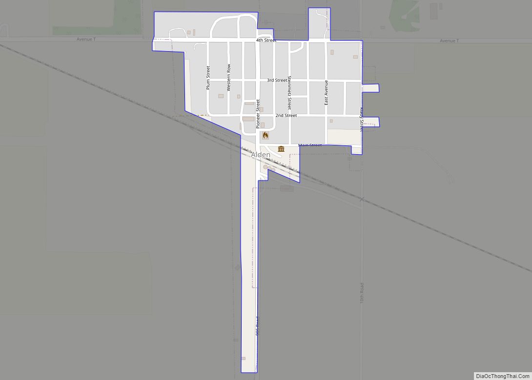
Alden is a city in Rice County, Kansas, United States. As of the 2020 census, the population of the city was 122. Alden city overview: Name: Alden city LSAD Code: 25 LSAD Description: city (suffix) State: Kansas County: Rice County Founded: 1872 Incorporated: 1916 Elevation: 1,680 ft (510 m) Total Area: 0.15 sq mi (0.40 km²) Land Area: 0.15 sq mi (0.40 km²) ... Read more
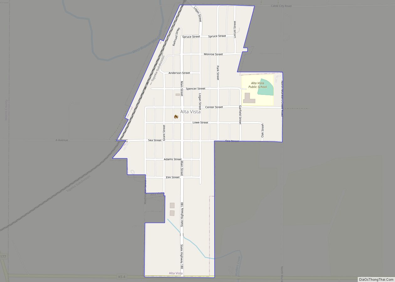
Alta Vista is a city in Wabaunsee County, Kansas, United States. As of the 2020 census, the population of the city was 409. Alta Vista city overview: Name: Alta Vista city LSAD Code: 25 LSAD Description: city (suffix) State: Kansas County: Wabaunsee County Founded: 1887 Incorporated: 1905 Elevation: 1,457 ft (444 m) Total Area: 0.35 sq mi (0.90 km²) Land ... Read more
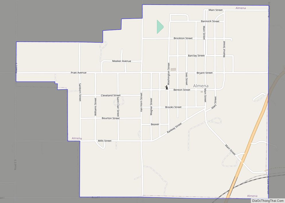
Almena is a city in Norton County, Kansas, United States. As of the 2020 census, the population of the city was 363. Almena city overview: Name: Almena city LSAD Code: 25 LSAD Description: city (suffix) State: Kansas County: Norton County Incorporated: 1893 Elevation: 2,152 ft (656 m) Total Area: 0.60 sq mi (1.57 km²) Land Area: 0.60 sq mi (1.57 km²) Water Area: ... Read more
Alma is a city in and the county seat of Wabaunsee County, Kansas, United States. As of the 2020 census, the population of the city was 802. Alma city overview: Name: Alma city LSAD Code: 25 LSAD Description: city (suffix) State: Kansas County: Wabaunsee County Founded: 1867 Incorporated: 1869 Elevation: 1,109 ft (338 m) Total Area: 0.60 sq mi ... Read more
Altoona is a city in Wilson County, Kansas, United States, along the Verdigris River. As of the 2020 census, the population of the city was 354. Altoona city overview: Name: Altoona city LSAD Code: 25 LSAD Description: city (suffix) State: Kansas County: Wilson County Founded: 1869 Incorporated: 1887 Elevation: 827 ft (252 m) Total Area: 0.54 sq mi (1.39 km²) ... Read more
Alton is a city in Osborne County, Kansas, United States. As of the 2020 census, the population of the city was 100. Alton city overview: Name: Alton city LSAD Code: 25 LSAD Description: city (suffix) State: Kansas County: Osborne County Founded: 1870 (Bull City) Incorporated: 1885 Elevation: 1,650 ft (500 m) Total Area: 0.31 sq mi (0.80 km²) Land Area: ... Read more
Altamont is a city in Labette County, Kansas, United States. As of the 2020 census, the population of the city was 1,061. Altamont city overview: Name: Altamont city LSAD Code: 25 LSAD Description: city (suffix) State: Kansas County: Labette County Founded: 1879 Incorporated: 1884 Elevation: 912 ft (278 m) Total Area: 1.93 sq mi (4.99 km²) Land Area: 1.90 sq mi (4.92 km²) ... Read more
Andover is a city in Butler County, Kansas, United States, and a suburb of Wichita. As of the 2020 census, the population of the city was 14,892. Andover is the most populated city in Butler County. Andover city overview: Name: Andover city LSAD Code: 25 LSAD Description: city (suffix) State: Kansas County: Butler County, Sedgwick ... Read more
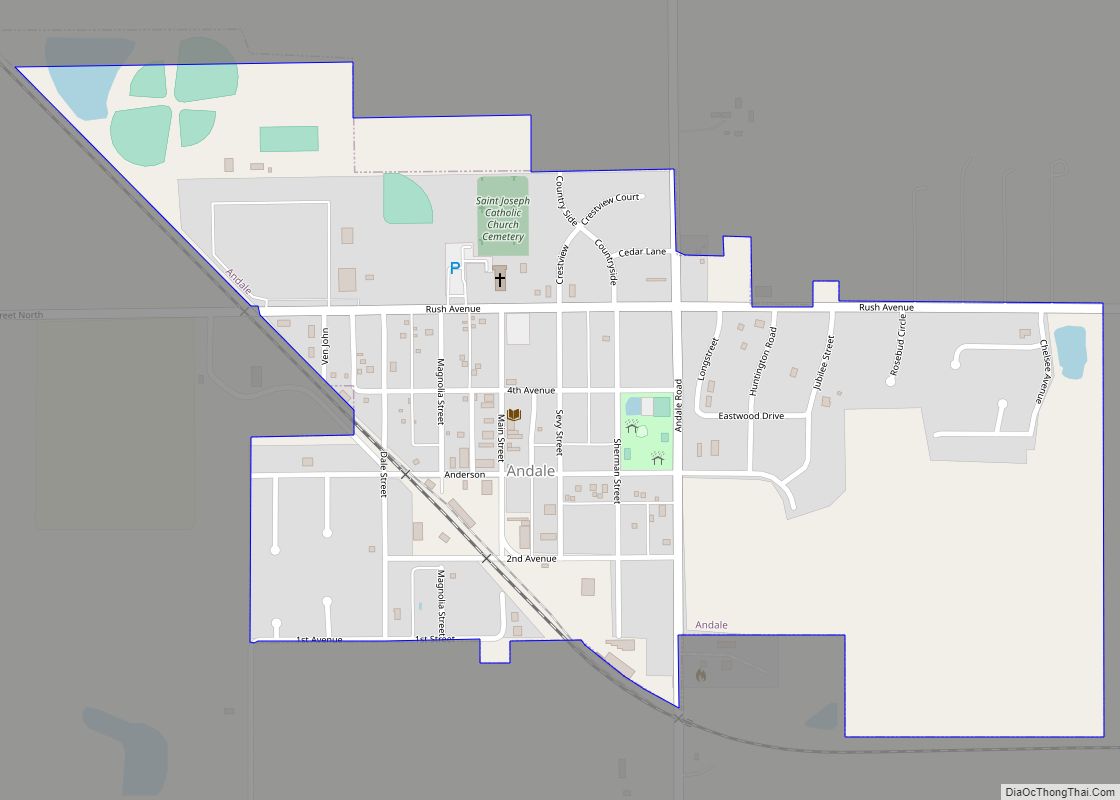
Andale is a city in Sedgwick County, Kansas, United States. As of the 2020 census, the population of the city was 941. Andale city overview: Name: Andale city LSAD Code: 25 LSAD Description: city (suffix) State: Kansas County: Sedgwick County Founded: 1880s Incorporated: 1901 Elevation: 1,431 ft (436 m) Total Area: 0.57 sq mi (1.49 km²) Land Area: 0.57 sq mi (1.49 km²) ... Read more
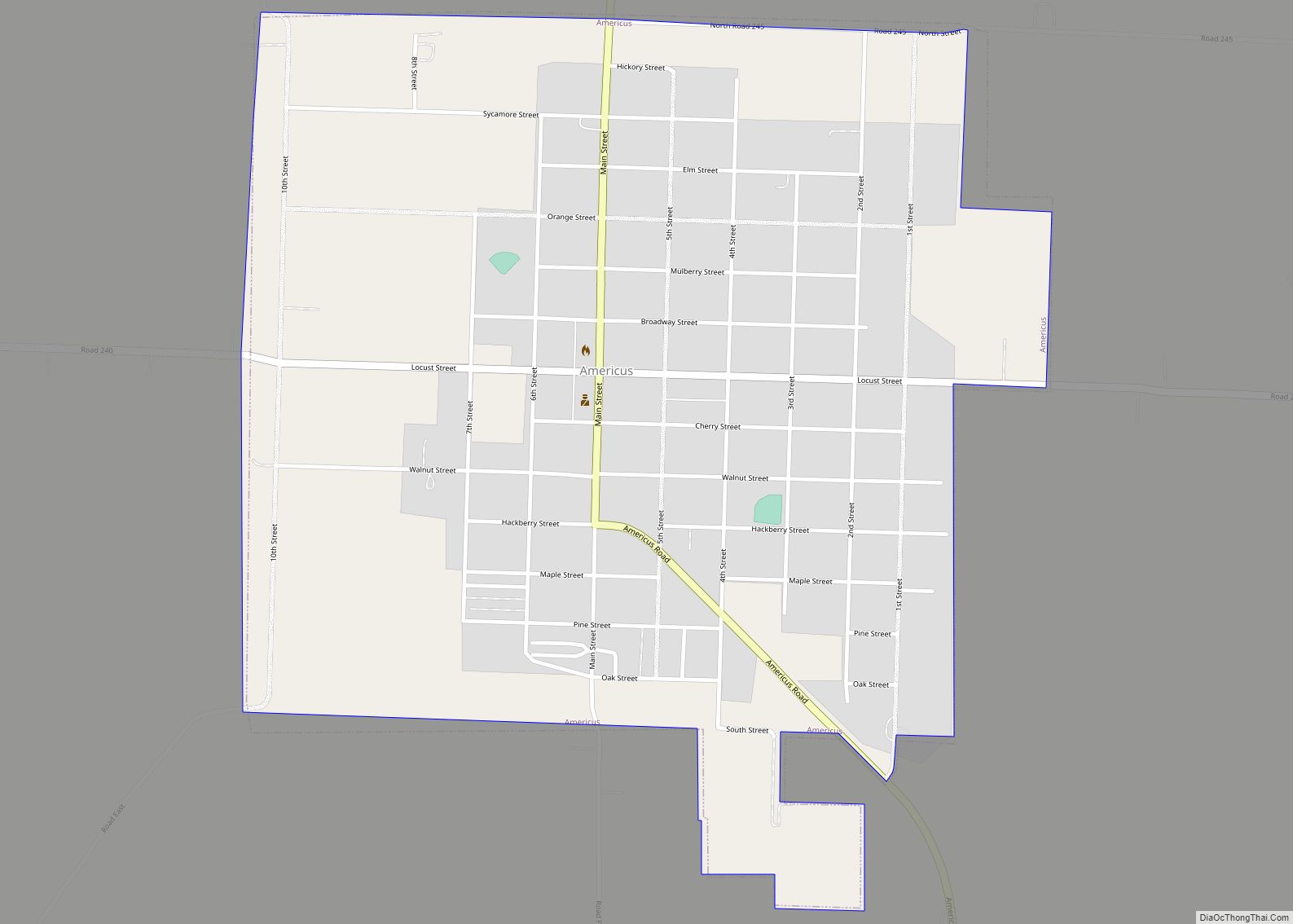
Americus is a city in Lyon County, Kansas, United States. As of the 2020 census, the population of the city was 776. It is located northwest of the city of Emporia. Americus is often a waypoint in some Unbound Gravel bike races. Americus city overview: Name: Americus city LSAD Code: 25 LSAD Description: city (suffix) ... Read more

