Alexander is a city in Rush County, Kansas, United States. As of the 2020 census, the population of the city was 54.
| Name: | Alexander city |
|---|---|
| LSAD Code: | 25 |
| LSAD Description: | city (suffix) |
| State: | Kansas |
| County: | Rush County |
| Founded: | 1869 |
| Incorporated: | 1926 |
| Elevation: | 2,077 ft (633 m) |
| Total Area: | 0.26 sq mi (0.67 km²) |
| Land Area: | 0.26 sq mi (0.67 km²) |
| Water Area: | 0.00 sq mi (0.00 km²) |
| Total Population: | 54 |
| Population Density: | 210/sq mi (81/km²) |
| ZIP code: | 67513 |
| Area code: | 785 |
| FIPS code: | 2001050 |
Online Interactive Map
Click on ![]() to view map in "full screen" mode.
to view map in "full screen" mode.
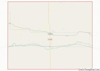
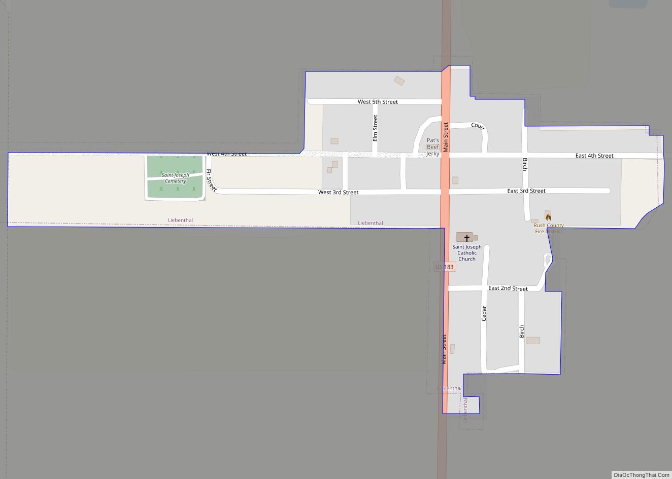
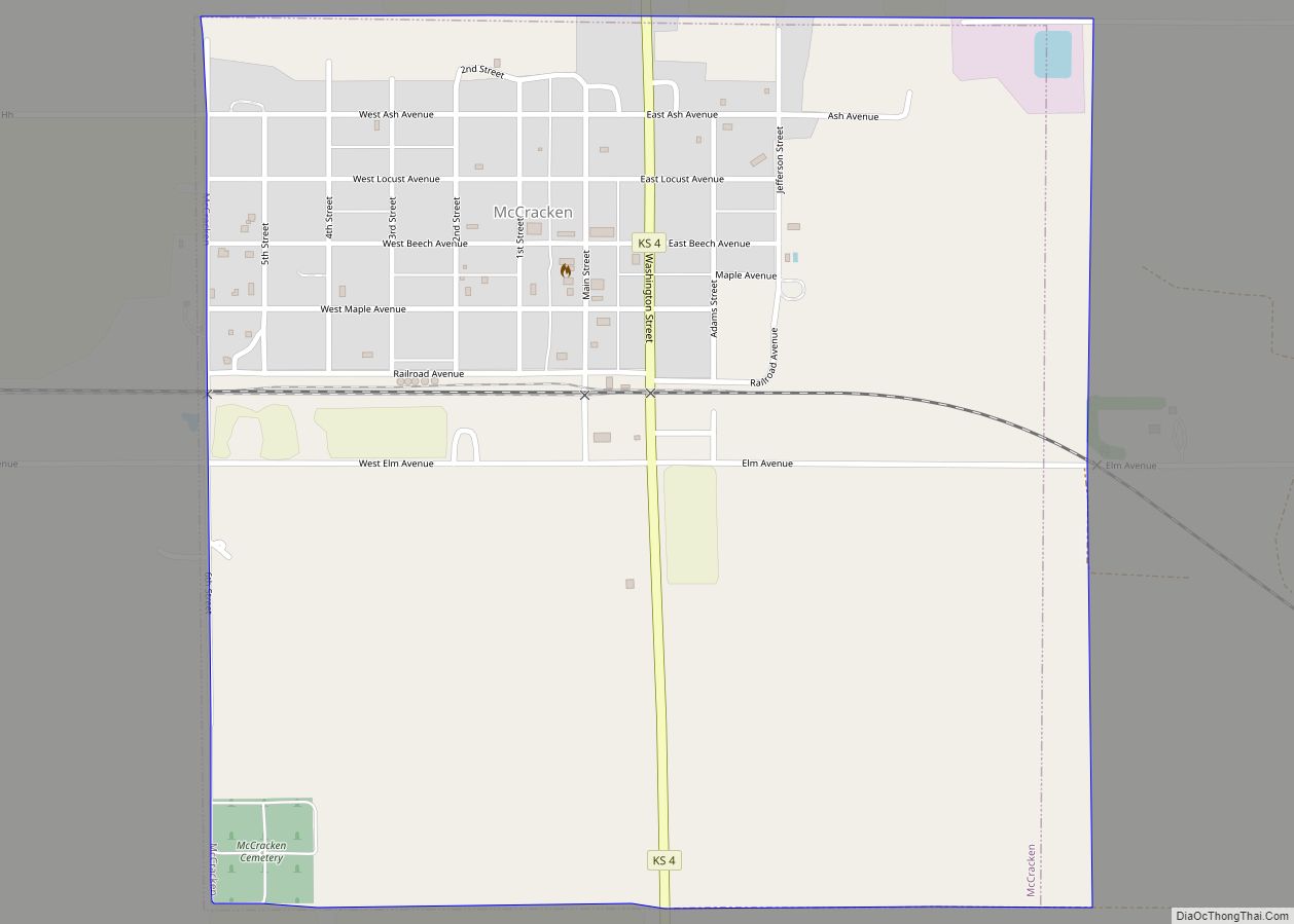
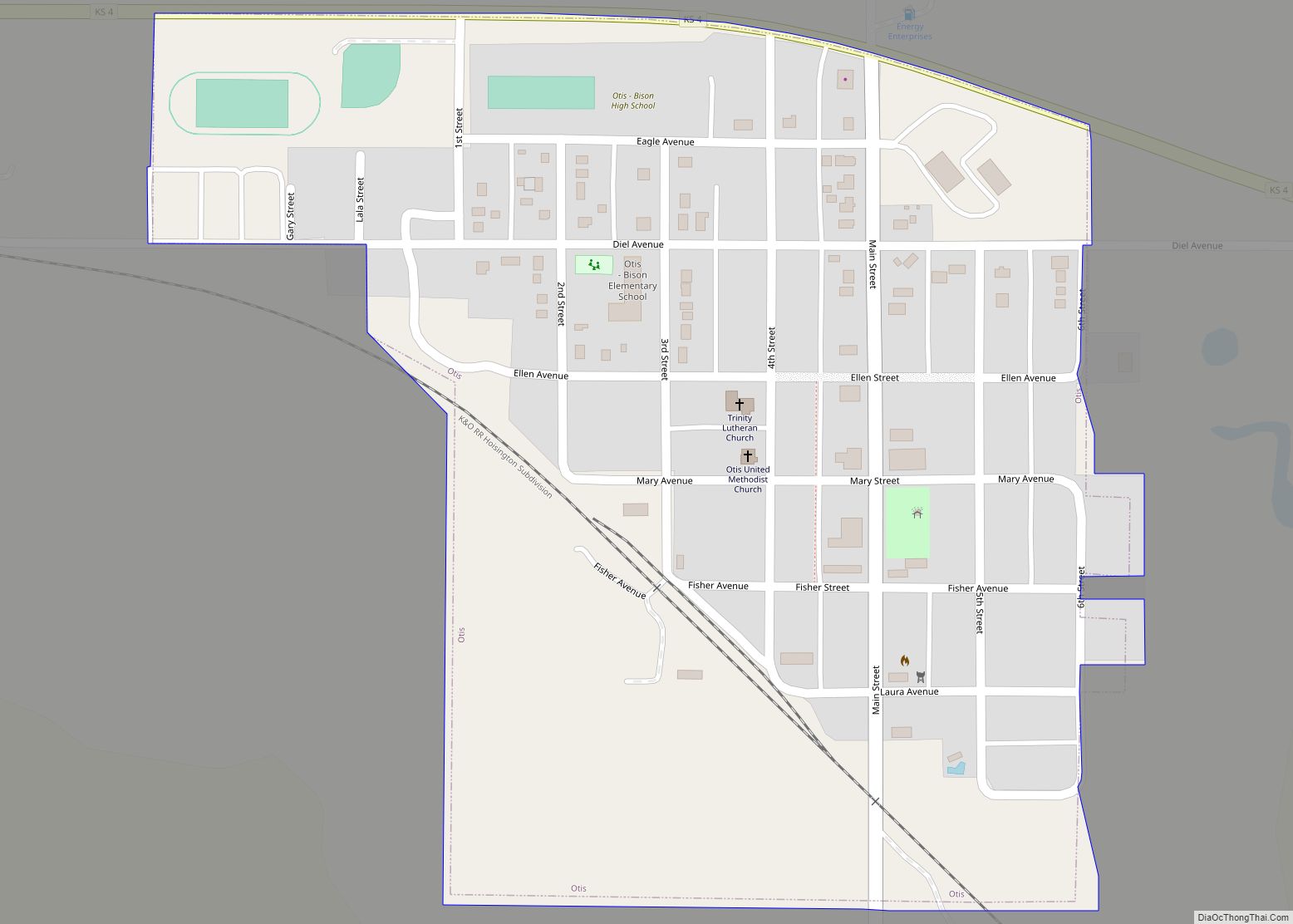
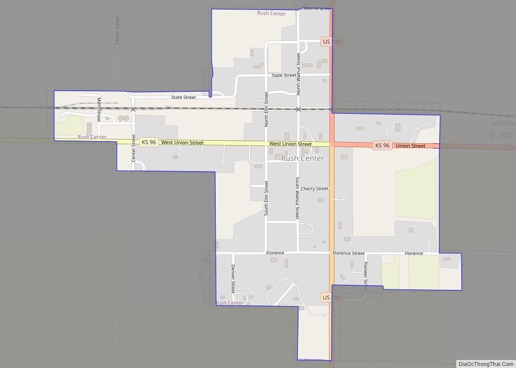
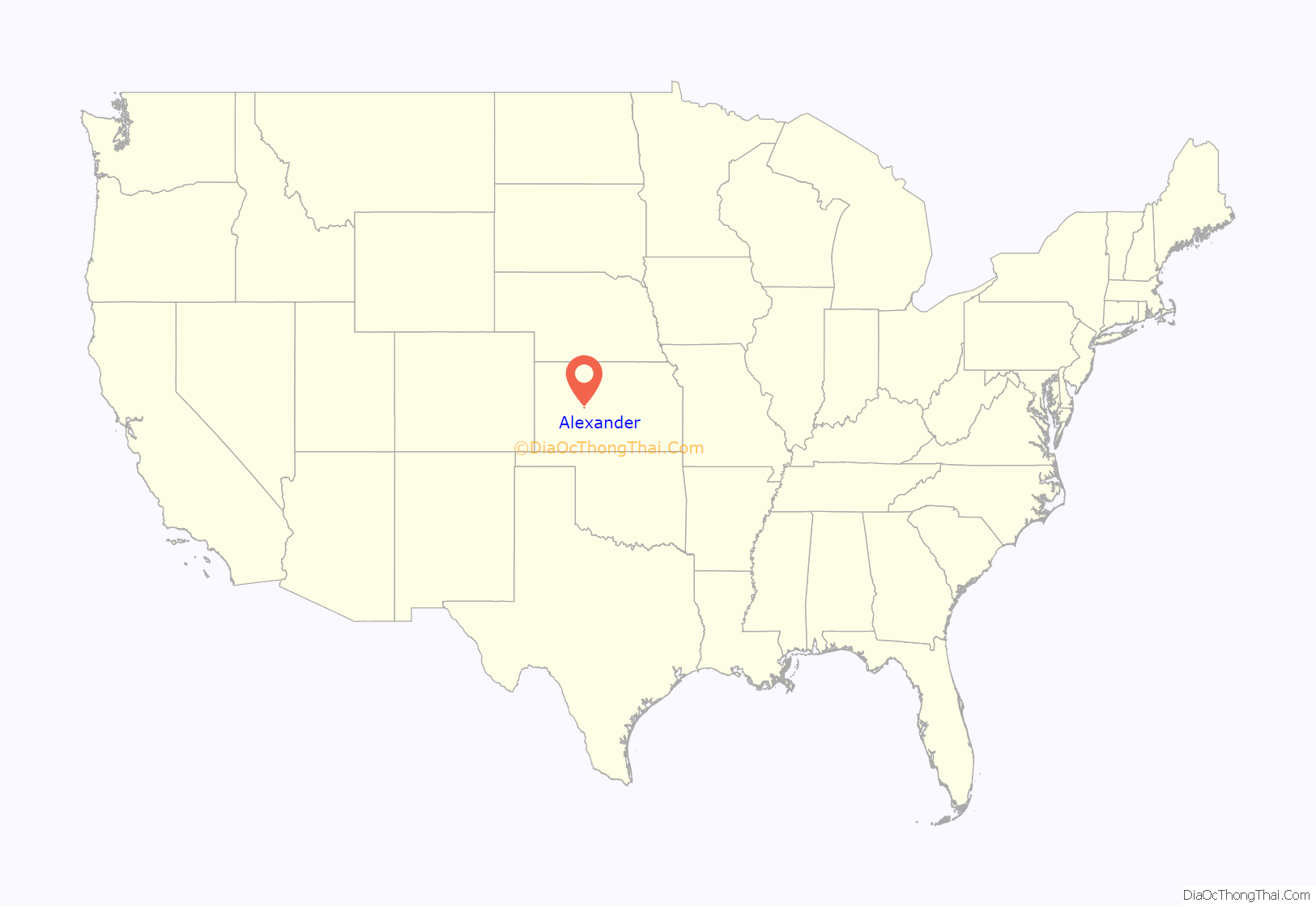
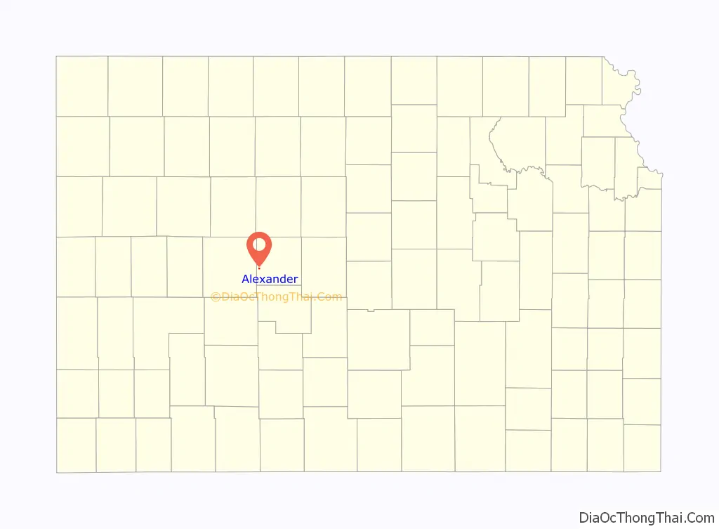
Alexander location map. Where is Alexander city?
History
19th century
Alexander is the oldest city in Rush County, Kansas. It was established in 1869 after becoming an important stopping point on the Fort Hays/Fort Dodge Trail (officially a part of the Santa Fe Trail). The name of the town originated from Alexander Harvey a Scottish emigrant who operated a stockaded trading post on the trail crossing of the Wet Walnut Creek. Harvey was a prominent and connected figure in western settlement. He was a friend of renown trapper, trader, and Indian Agent William Bent who established Bent’s Fort in Eastern Colorado. Harvey’s daughter Adaline at age 20 married the 60 year-old Bent.
In its early days, Alexander was a trading post for trappers, buffalo hunters, wild horse wranglers, and other early Westerners. Buffalo Bill Cody, George Custer, and other prominent figures in American western settlement traveled through the community. Alexander Harvey himself was a former member of the 6th Cavalry.
The first post office in Alexander was established in February 1874.
At its peak in the late 1800s, the community included a bank, hospital, newspaper, lumberyard, a Santa Fe Railroad Depot, hotel, multiple churches, multiple grocery and general stores. At varying times, the community’s commercial activity has included cream and egg buying stations, a railroad stockyard for shipping cattle and sheep to eastern markets, and multiple grain elevators.
21st century
Today, Alexander’s abandoned three story brick school building is a landmark on K-96 highway. The former Alexander State Bank Building has been re-built and is now the operations and maintenance building for NJR Clean Energy. The community still has the largest grain elevator in Rush County. The elevator is a farmer’s cooperative elevator owned by area farmers. Grumbine’s Metal Scrap Yard is the other commercial entity in the community.
In 2015, the “Alexander Wind Farm” was constructed south of Alexander. It cost about $85 Million and generates 48 Megawatt of power. The Alexander Wind Farm became commercially operable on January 1, 2016.
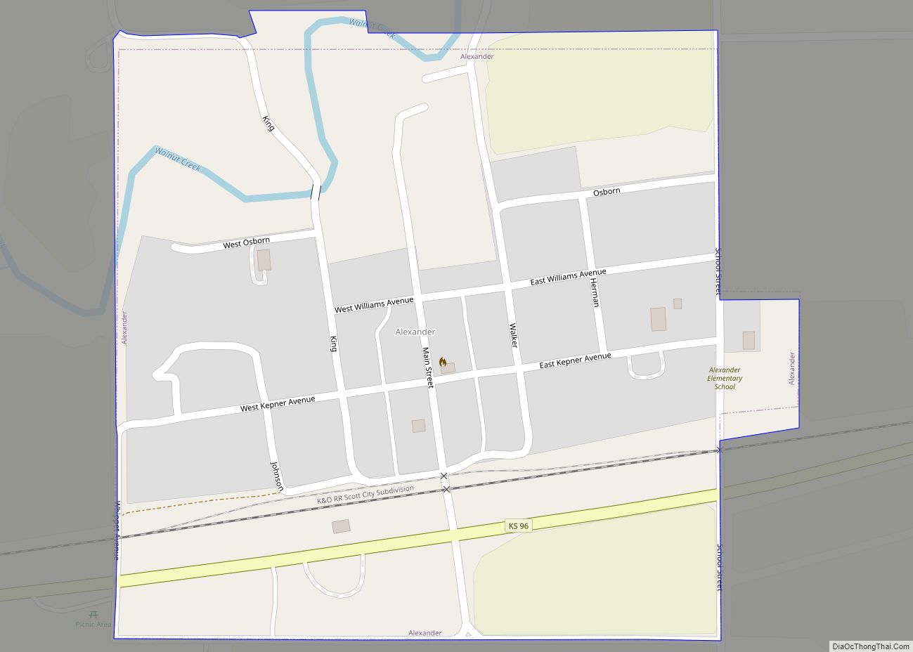
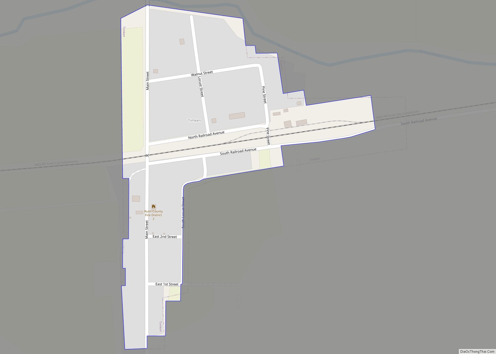
Alexander Road Map
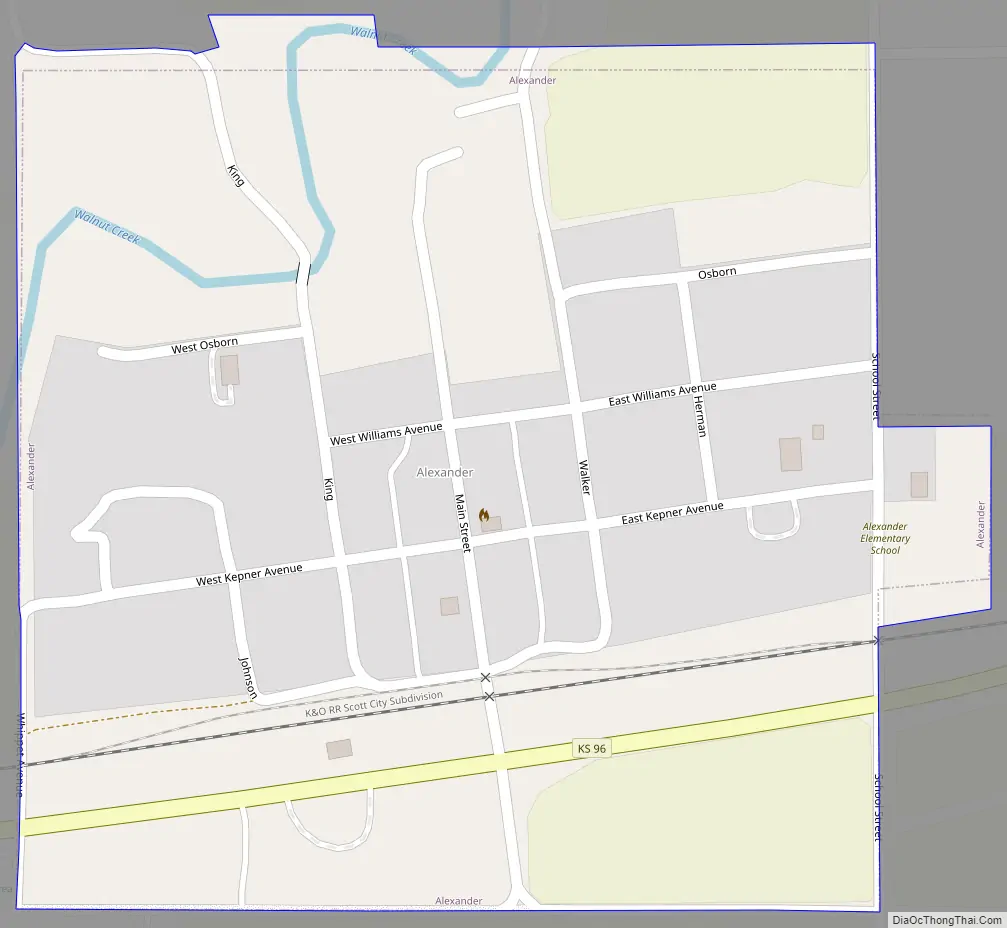
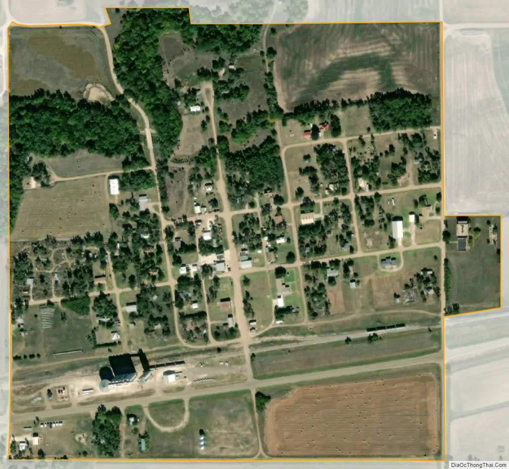
Alexander city Satellite Map
Geography
Alexander is located at 38°28′10″N 99°33′11″W / 38.46944°N 99.55306°W / 38.46944; -99.55306 (38.469371, -99.552415). According to the United States Census Bureau, the city has a total area of 0.25 square miles (0.65 km), all of it land.
Climate
The climate in this area is characterized by hot, humid summers and generally mild to cool winters. According to the Köppen Climate Classification system, Alexander has a humid subtropical climate, abbreviated “Cfa” on climate maps.
See also
Map of Kansas State and its subdivision:- Allen
- Anderson
- Atchison
- Barber
- Barton
- Bourbon
- Brown
- Butler
- Chase
- Chautauqua
- Cherokee
- Cheyenne
- Clark
- Clay
- Cloud
- Coffey
- Comanche
- Cowley
- Crawford
- Decatur
- Dickinson
- Doniphan
- Douglas
- Edwards
- Elk
- Ellis
- Ellsworth
- Finney
- Ford
- Franklin
- Geary
- Gove
- Graham
- Grant
- Gray
- Greeley
- Greenwood
- Hamilton
- Harper
- Harvey
- Haskell
- Hodgeman
- Jackson
- Jefferson
- Jewell
- Johnson
- Kearny
- Kingman
- Kiowa
- Labette
- Lane
- Leavenworth
- Lincoln
- Linn
- Logan
- Lyon
- Marion
- Marshall
- McPherson
- Meade
- Miami
- Mitchell
- Montgomery
- Morris
- Morton
- Nemaha
- Neosho
- Ness
- Norton
- Osage
- Osborne
- Ottawa
- Pawnee
- Phillips
- Pottawatomie
- Pratt
- Rawlins
- Reno
- Republic
- Rice
- Riley
- Rooks
- Rush
- Russell
- Saline
- Scott
- Sedgwick
- Seward
- Shawnee
- Sheridan
- Sherman
- Smith
- Stafford
- Stanton
- Stevens
- Sumner
- Thomas
- Trego
- Wabaunsee
- Wallace
- Washington
- Wichita
- Wilson
- Woodson
- Wyandotte
- Alabama
- Alaska
- Arizona
- Arkansas
- California
- Colorado
- Connecticut
- Delaware
- District of Columbia
- Florida
- Georgia
- Hawaii
- Idaho
- Illinois
- Indiana
- Iowa
- Kansas
- Kentucky
- Louisiana
- Maine
- Maryland
- Massachusetts
- Michigan
- Minnesota
- Mississippi
- Missouri
- Montana
- Nebraska
- Nevada
- New Hampshire
- New Jersey
- New Mexico
- New York
- North Carolina
- North Dakota
- Ohio
- Oklahoma
- Oregon
- Pennsylvania
- Rhode Island
- South Carolina
- South Dakota
- Tennessee
- Texas
- Utah
- Vermont
- Virginia
- Washington
- West Virginia
- Wisconsin
- Wyoming